Country

Philippines

Philippines
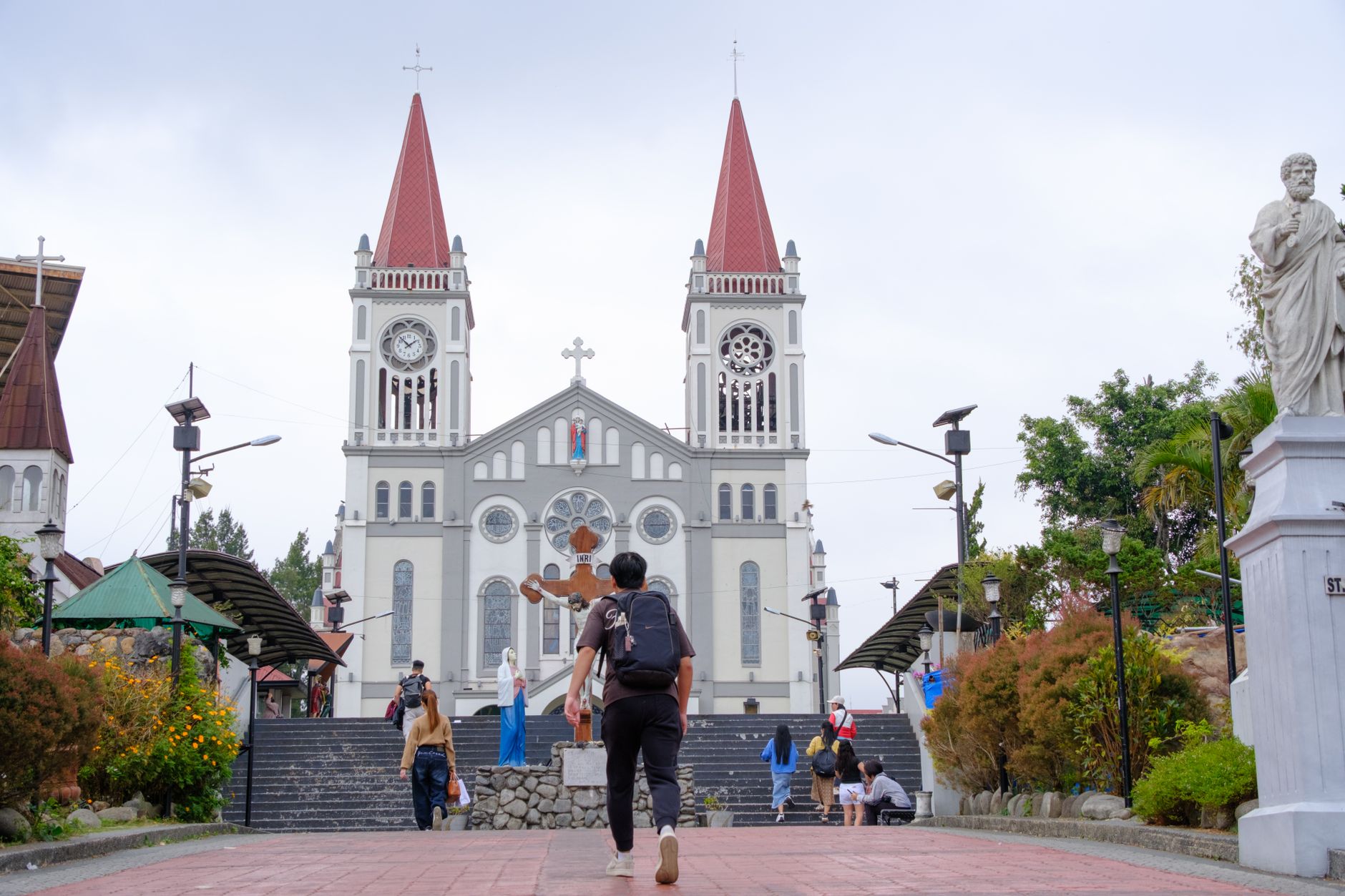
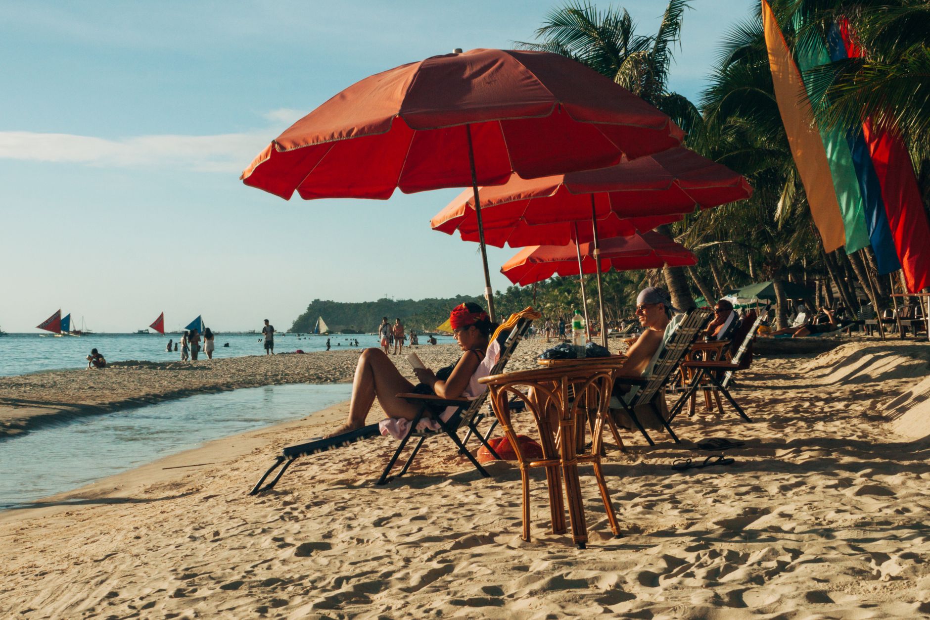
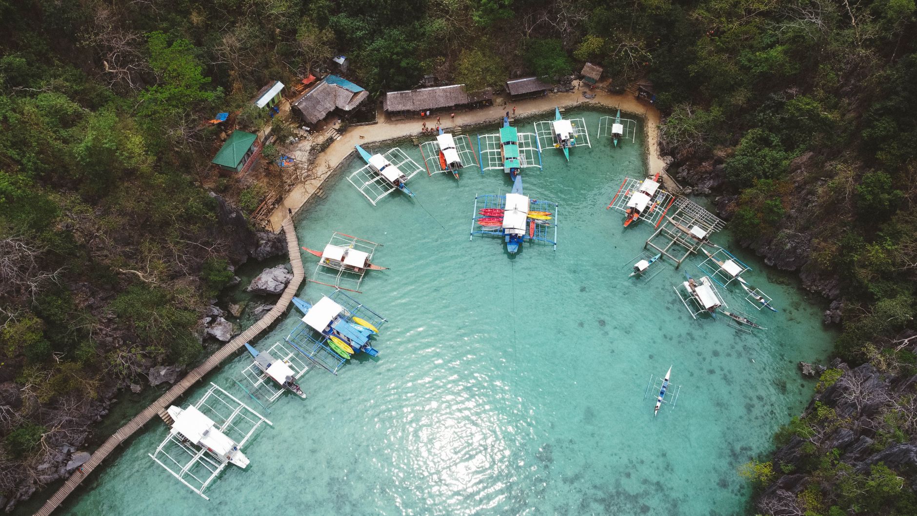
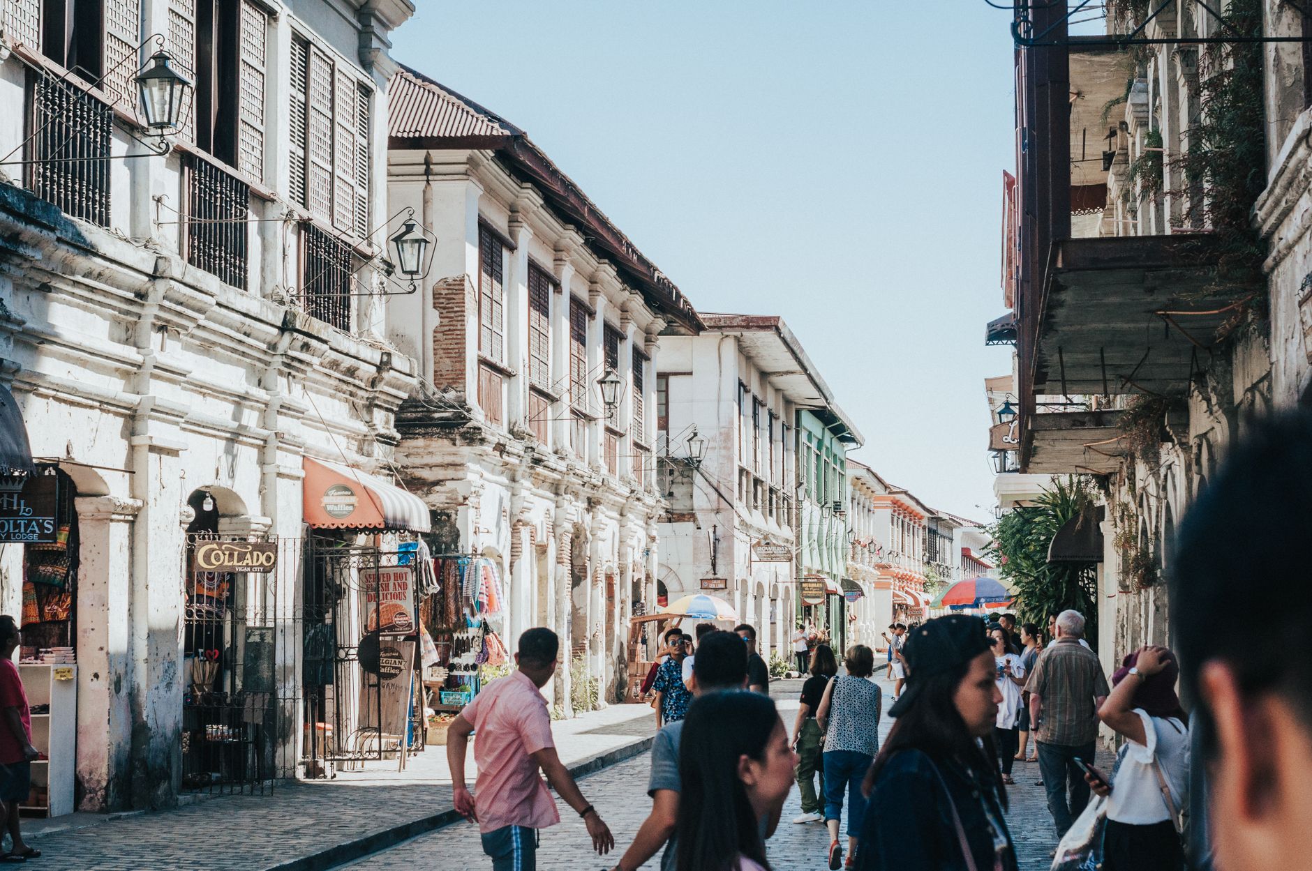
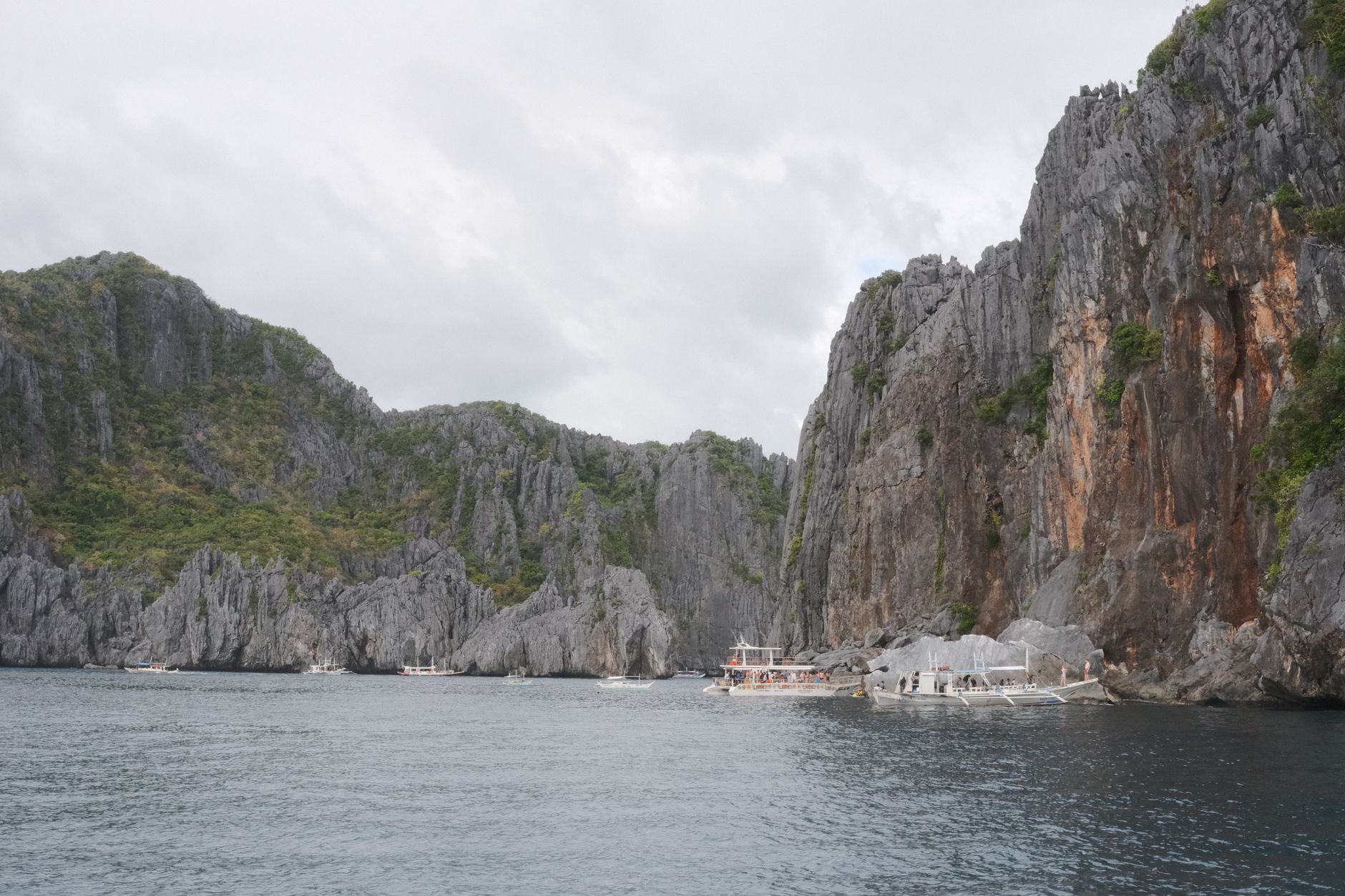
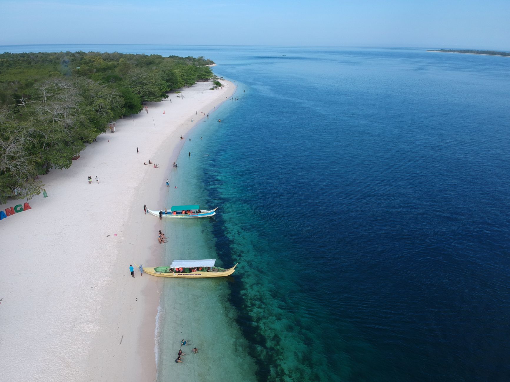
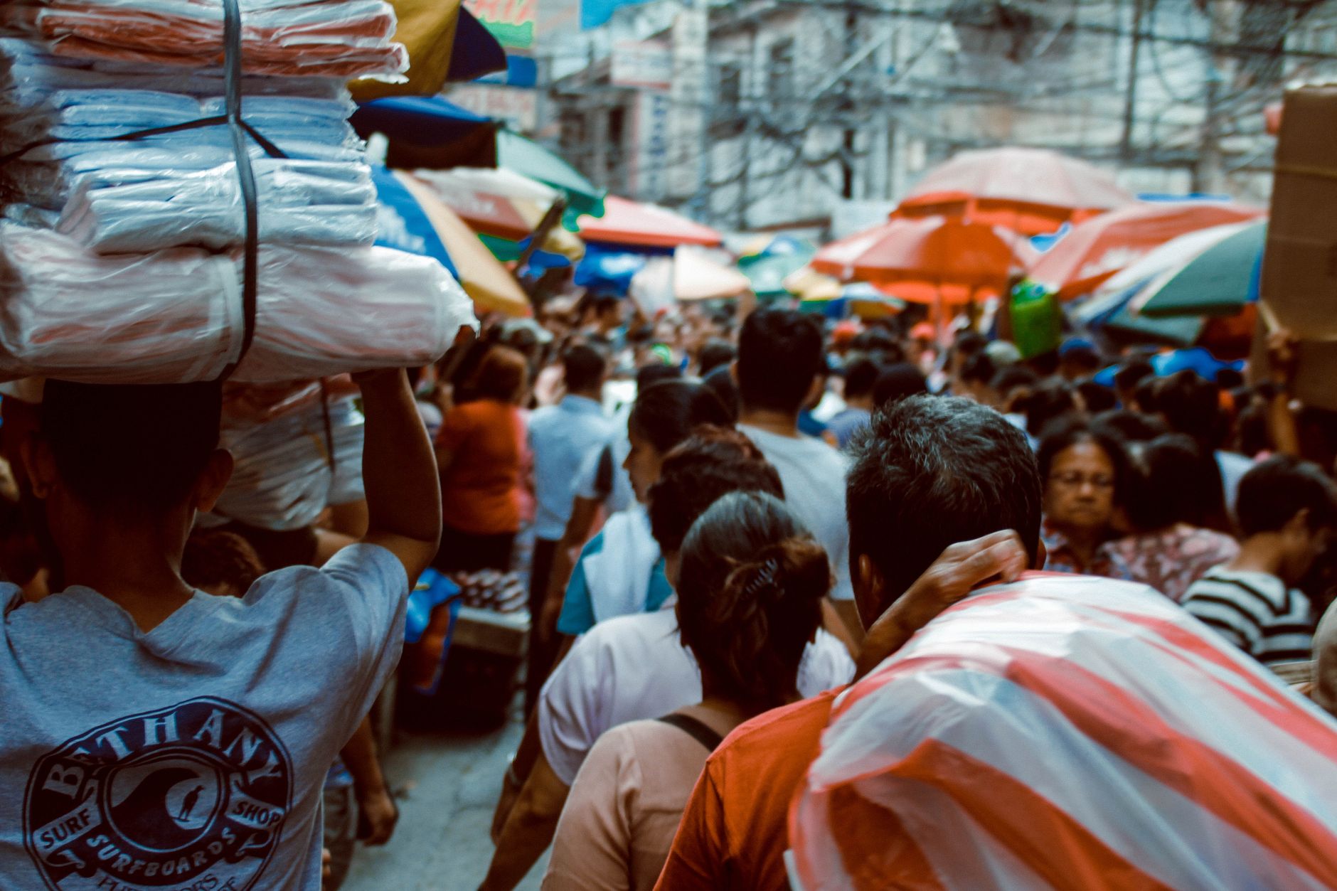
Photo by Nothing Ahead on Pexels
Philippines
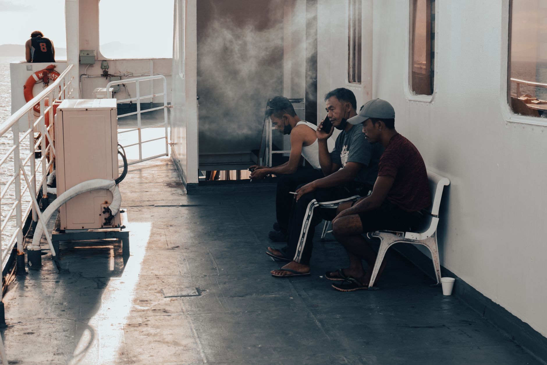
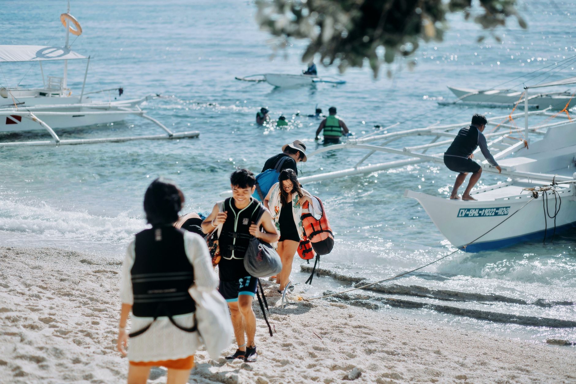
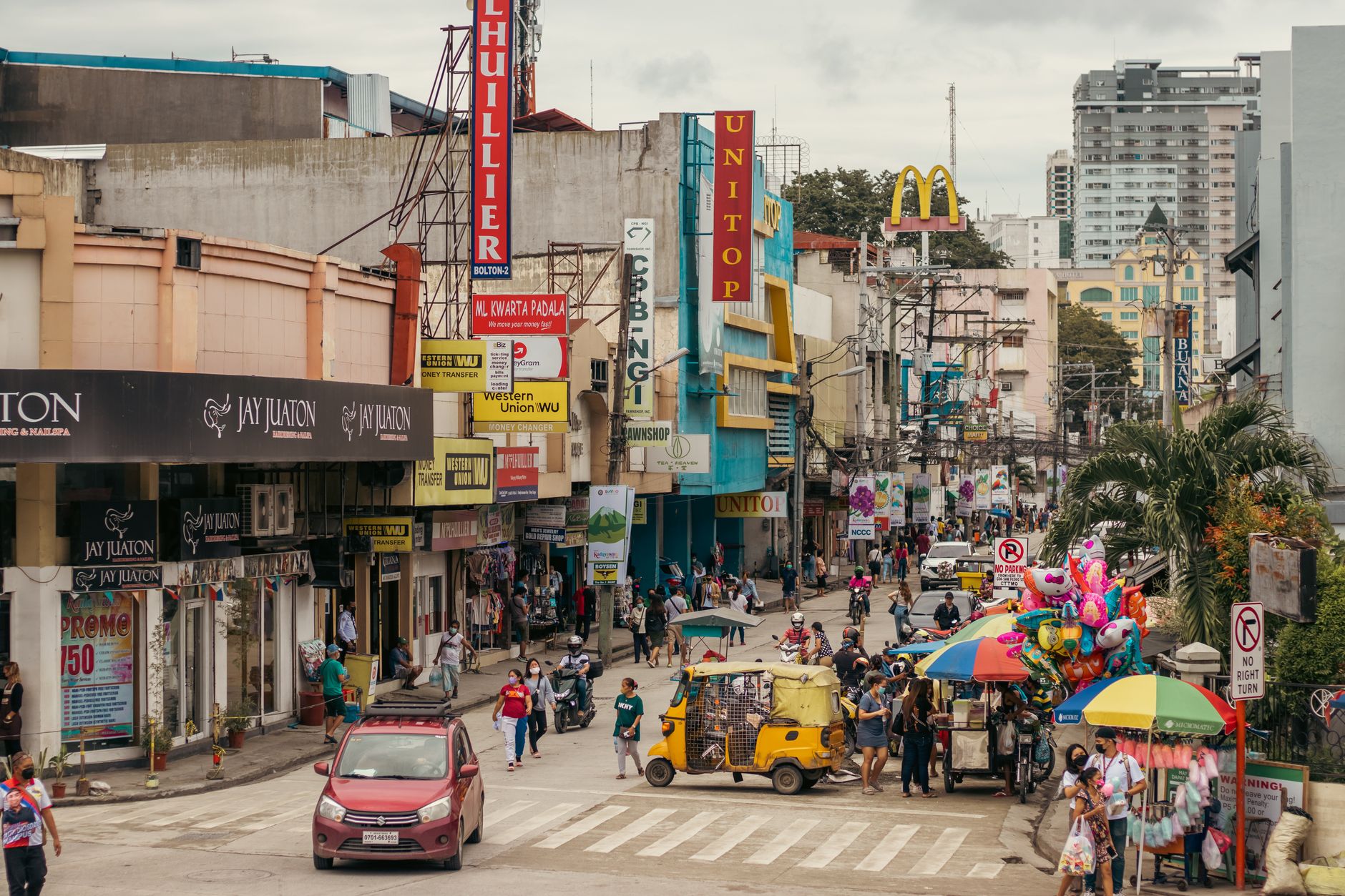
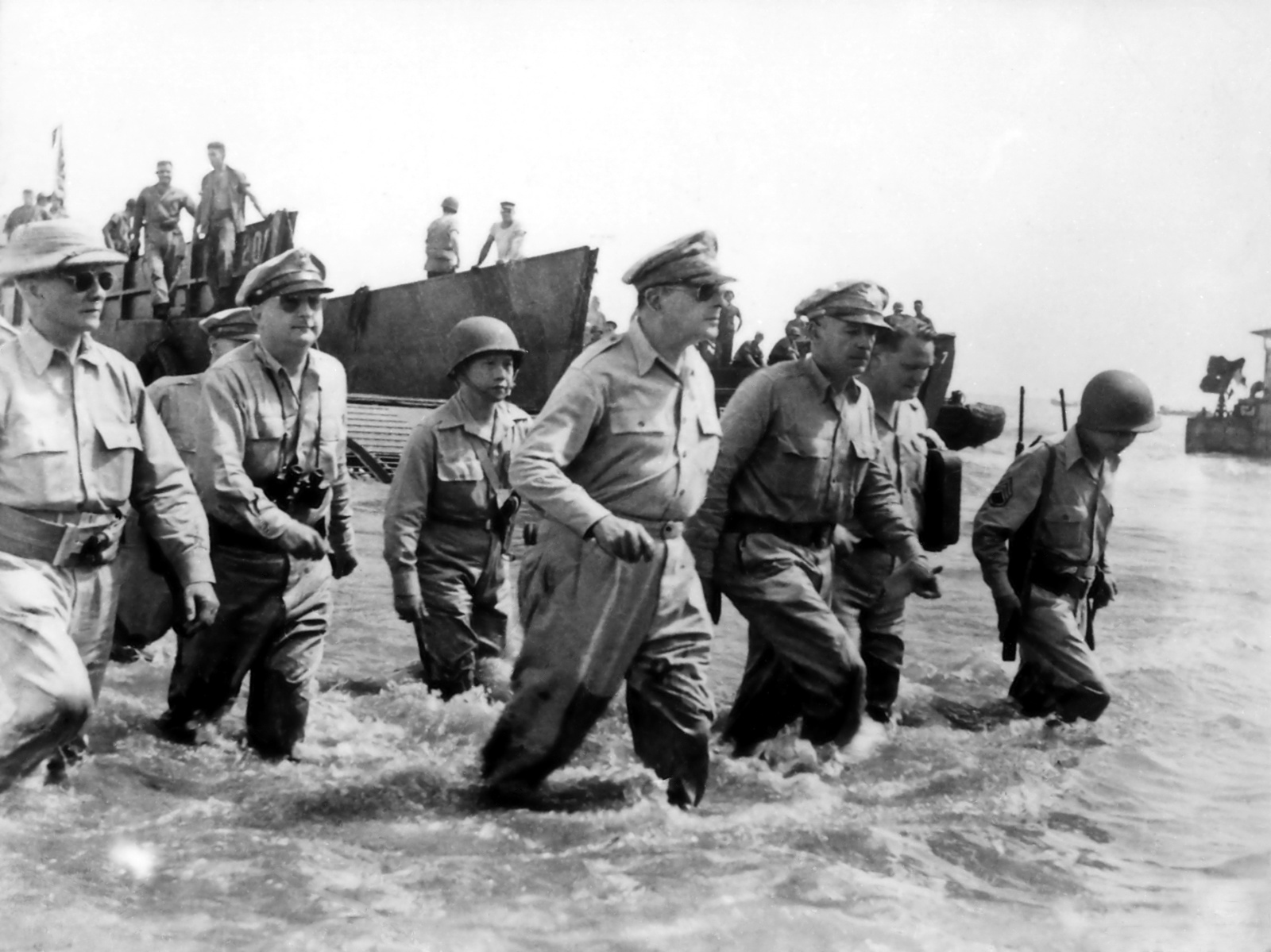
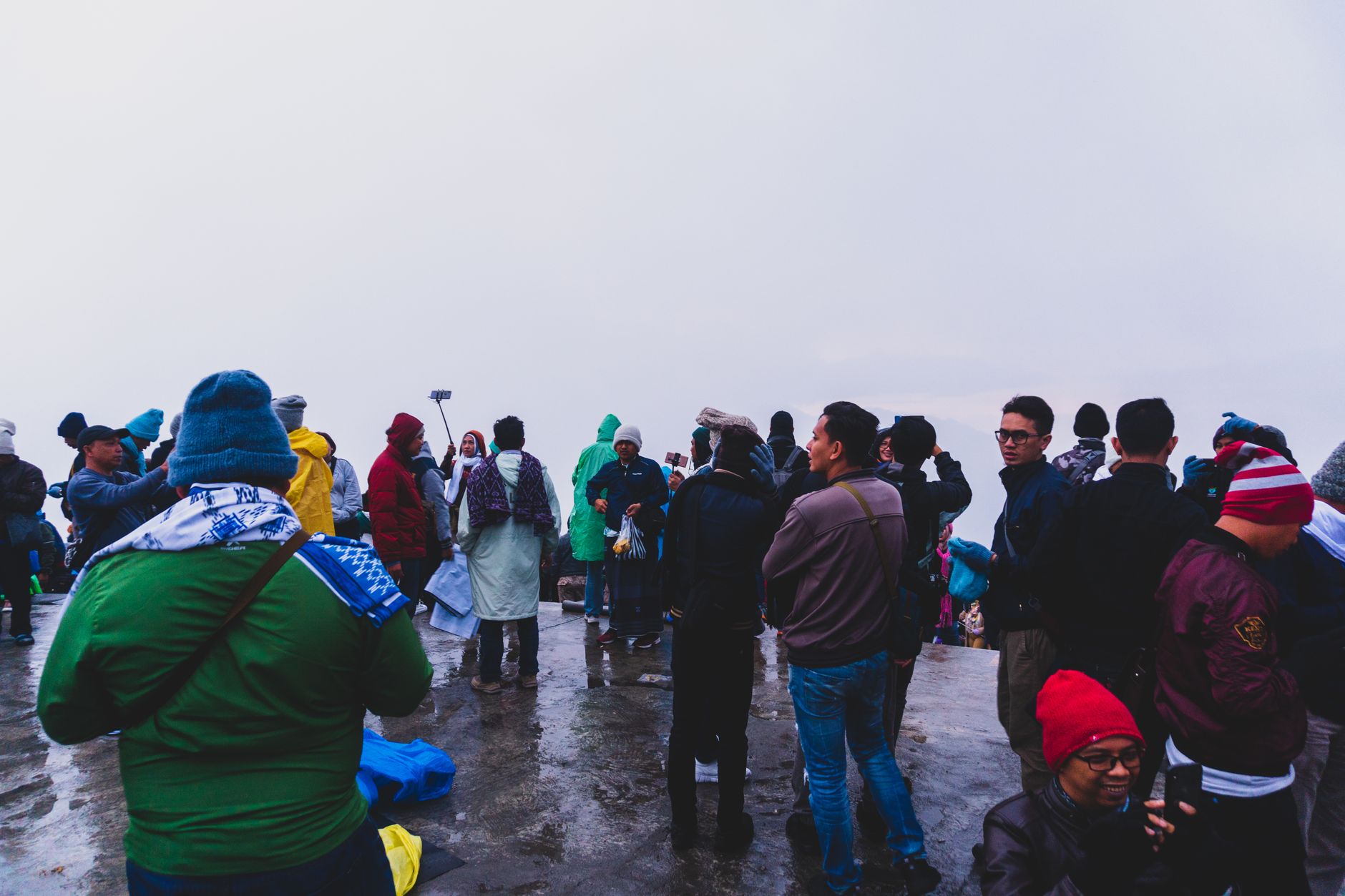
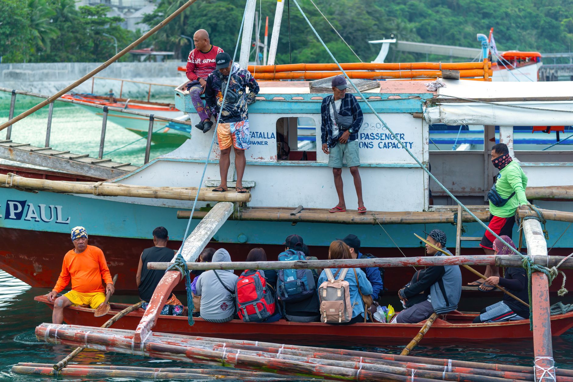
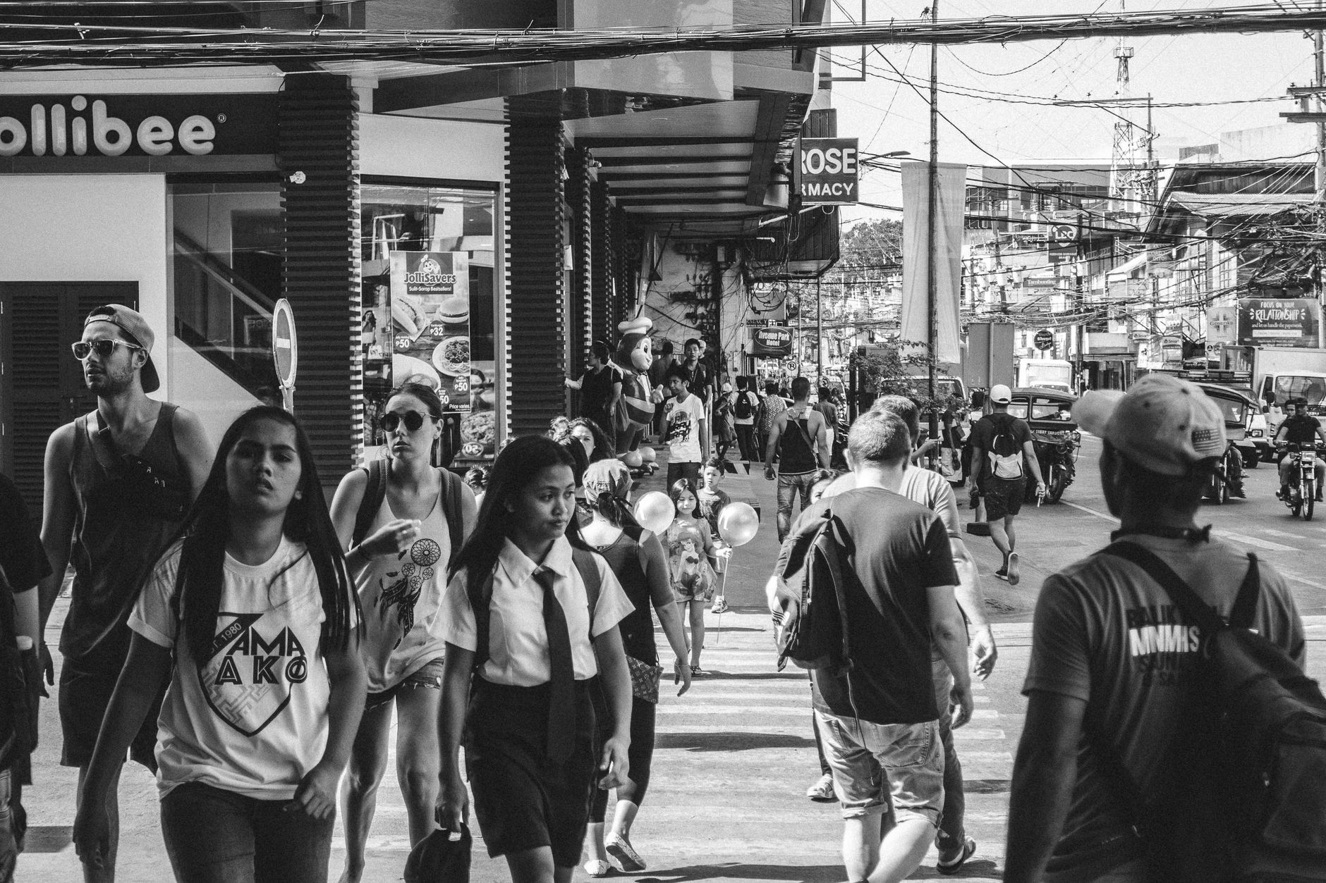
Photo by Junery Docto on Pexels
Philippines
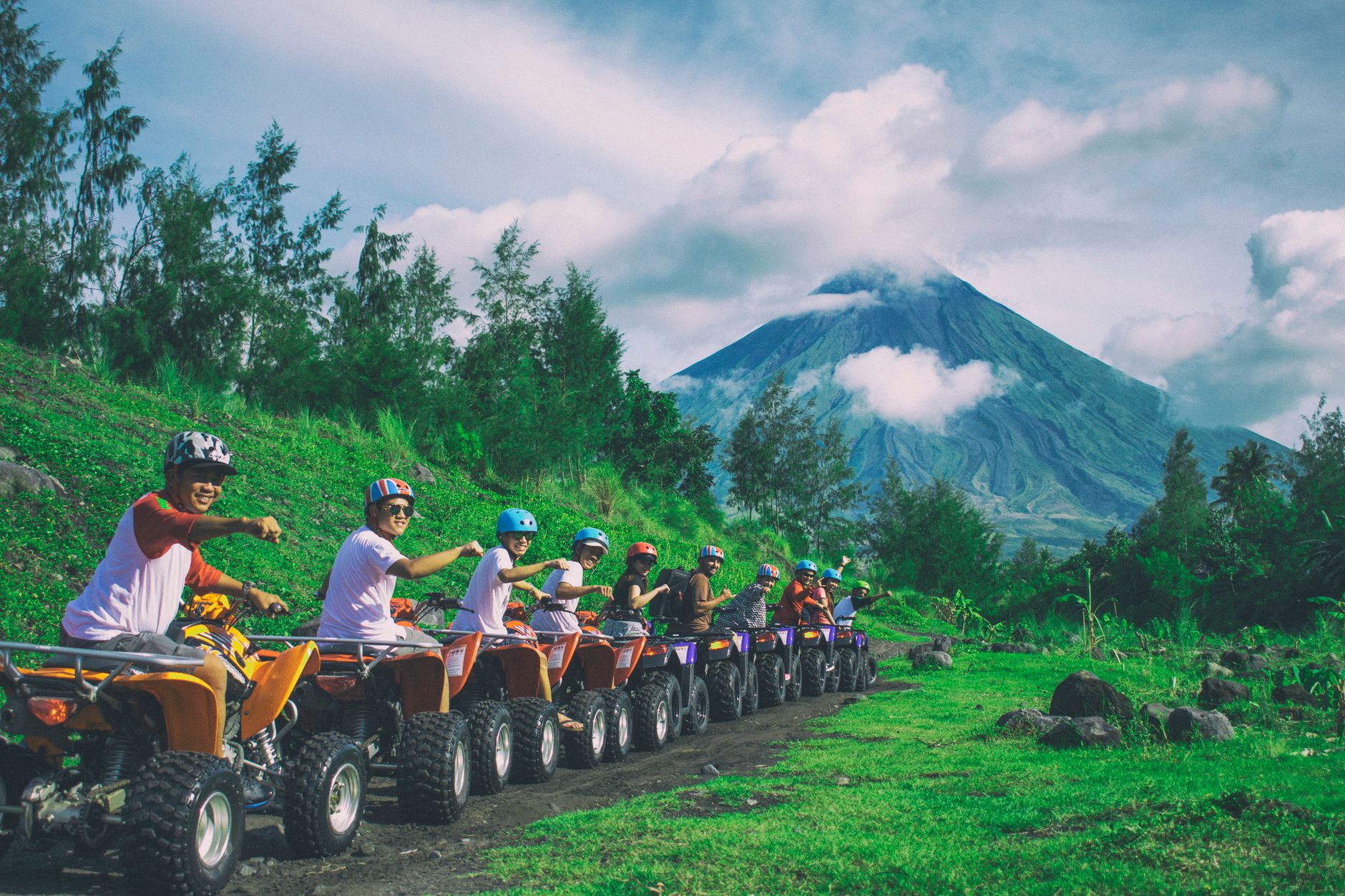
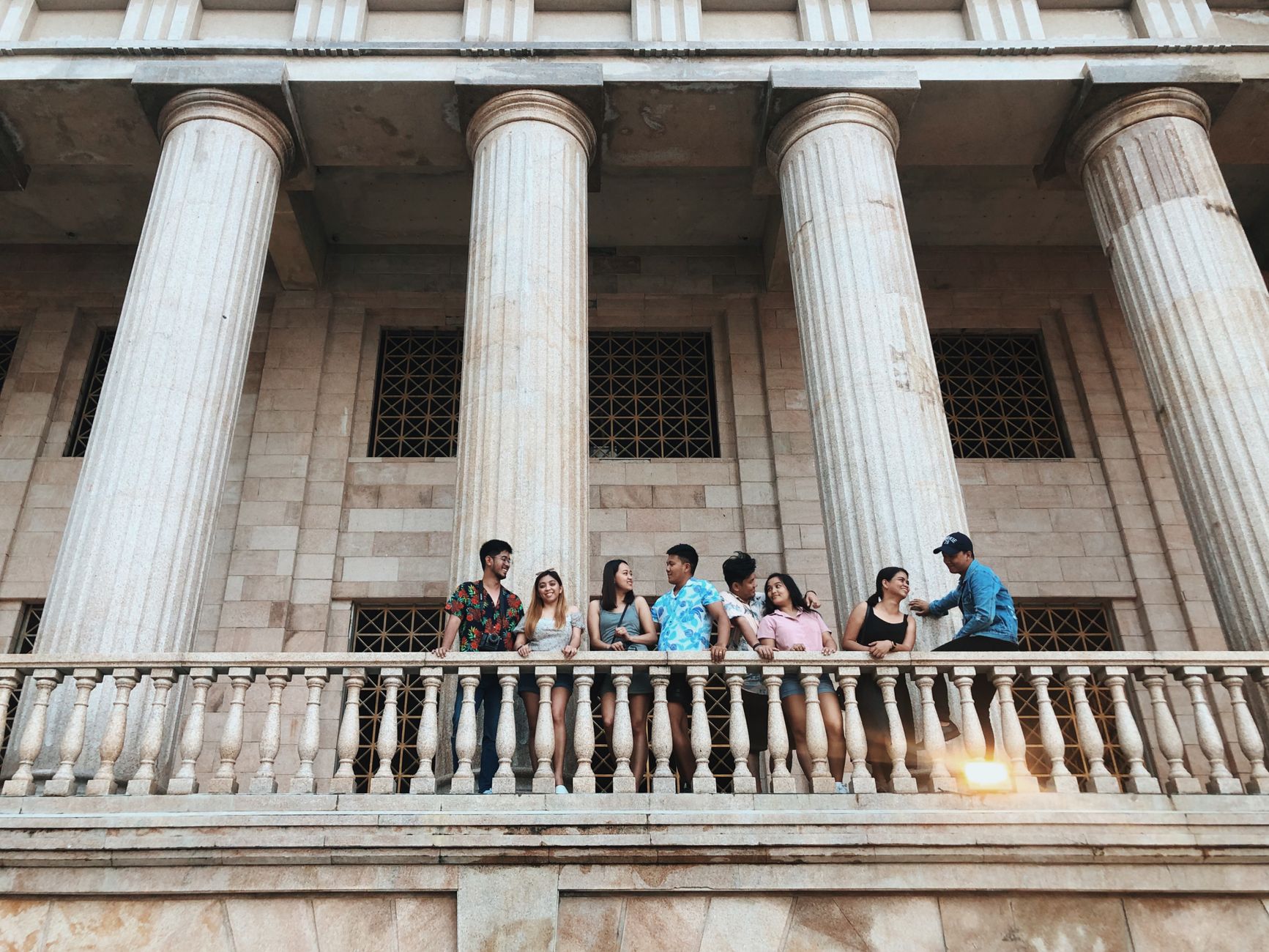
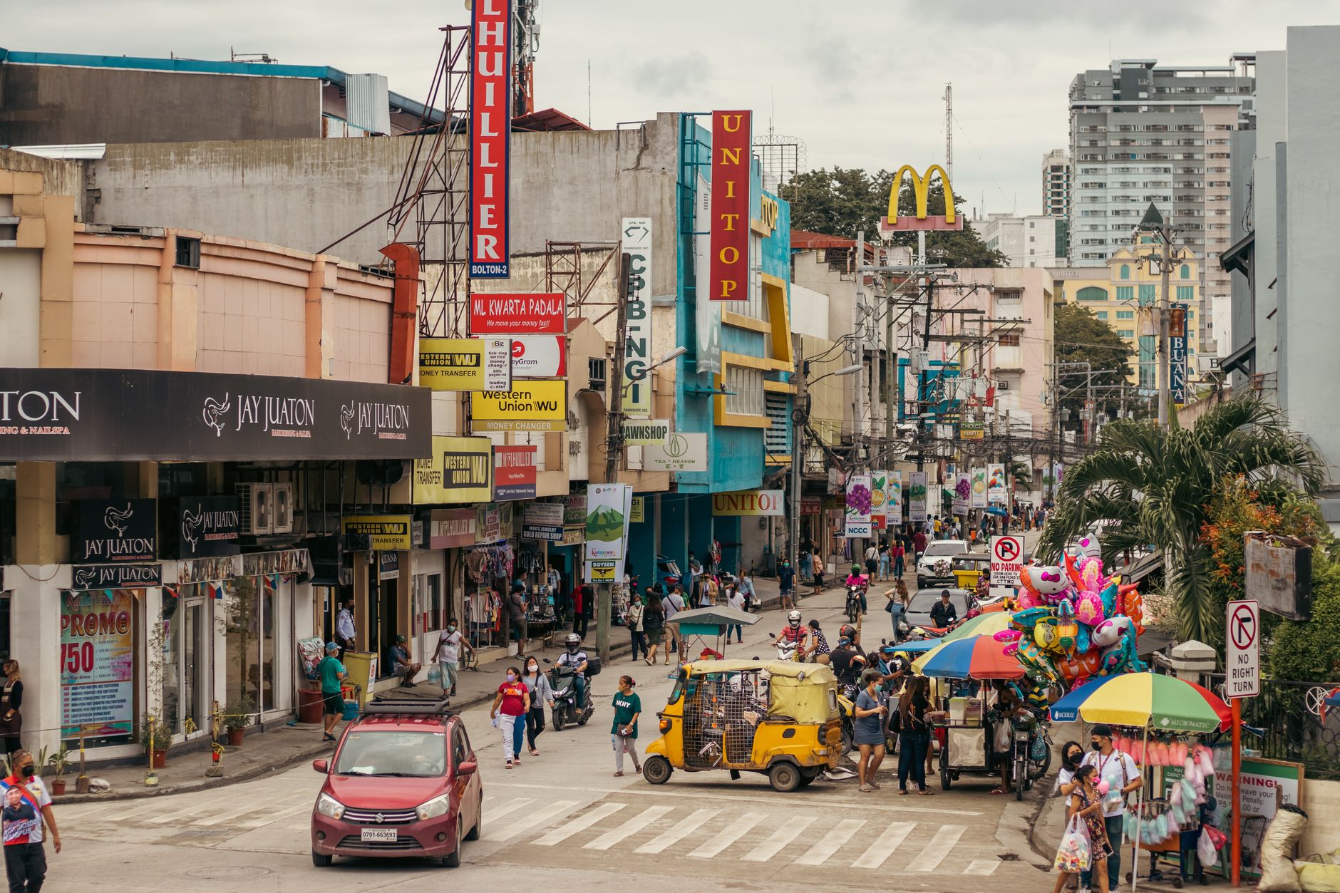
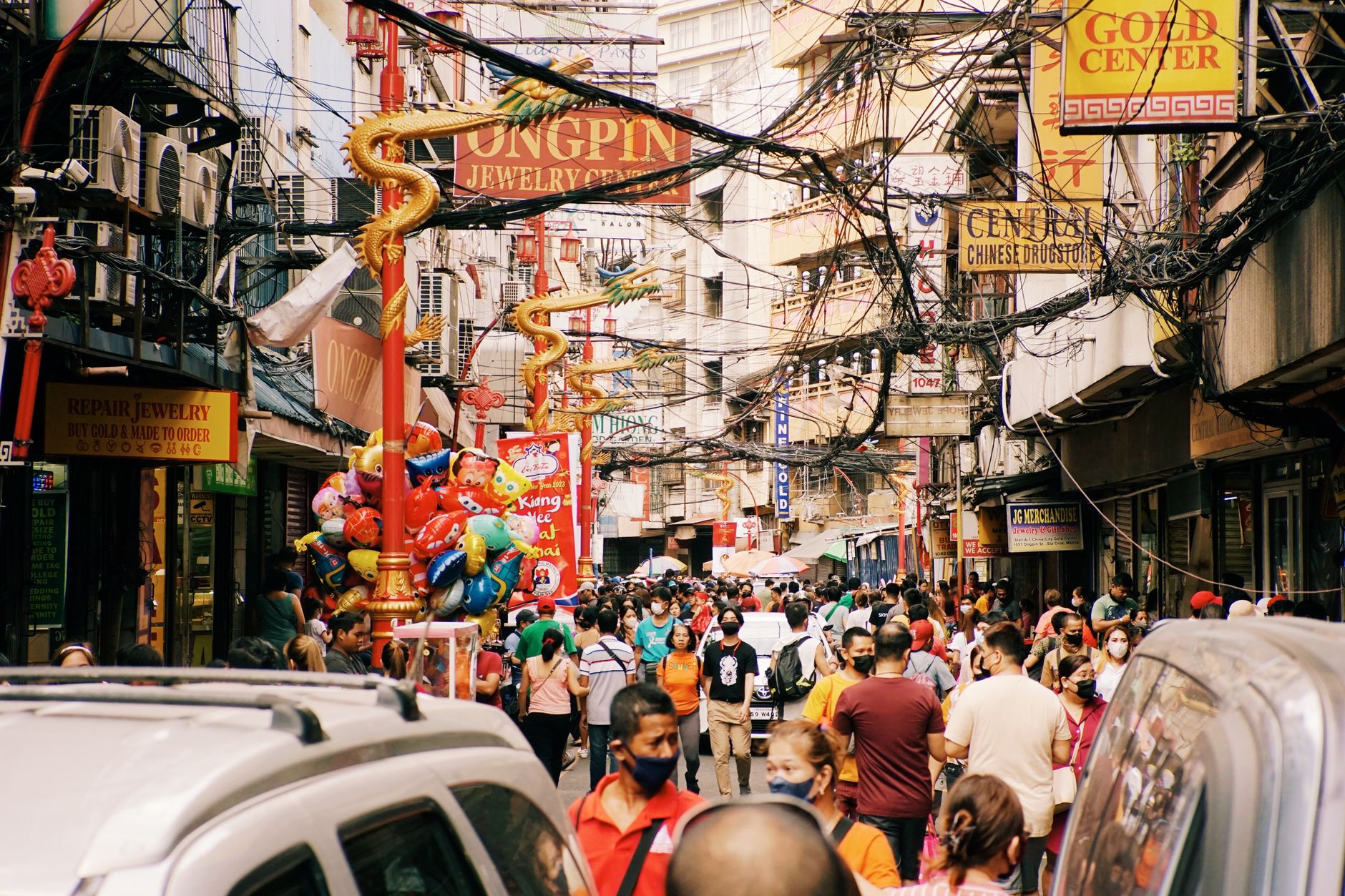
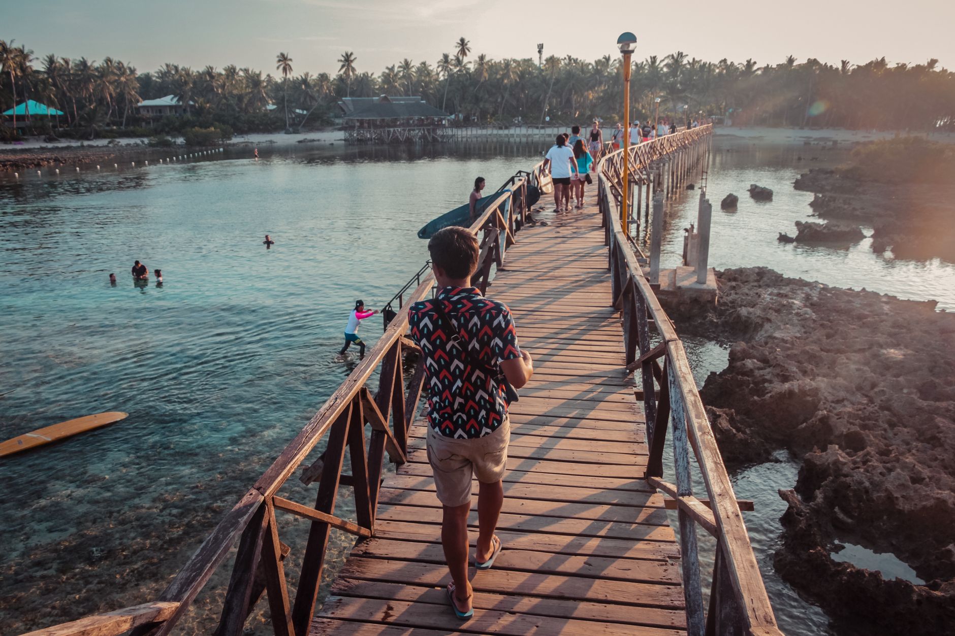
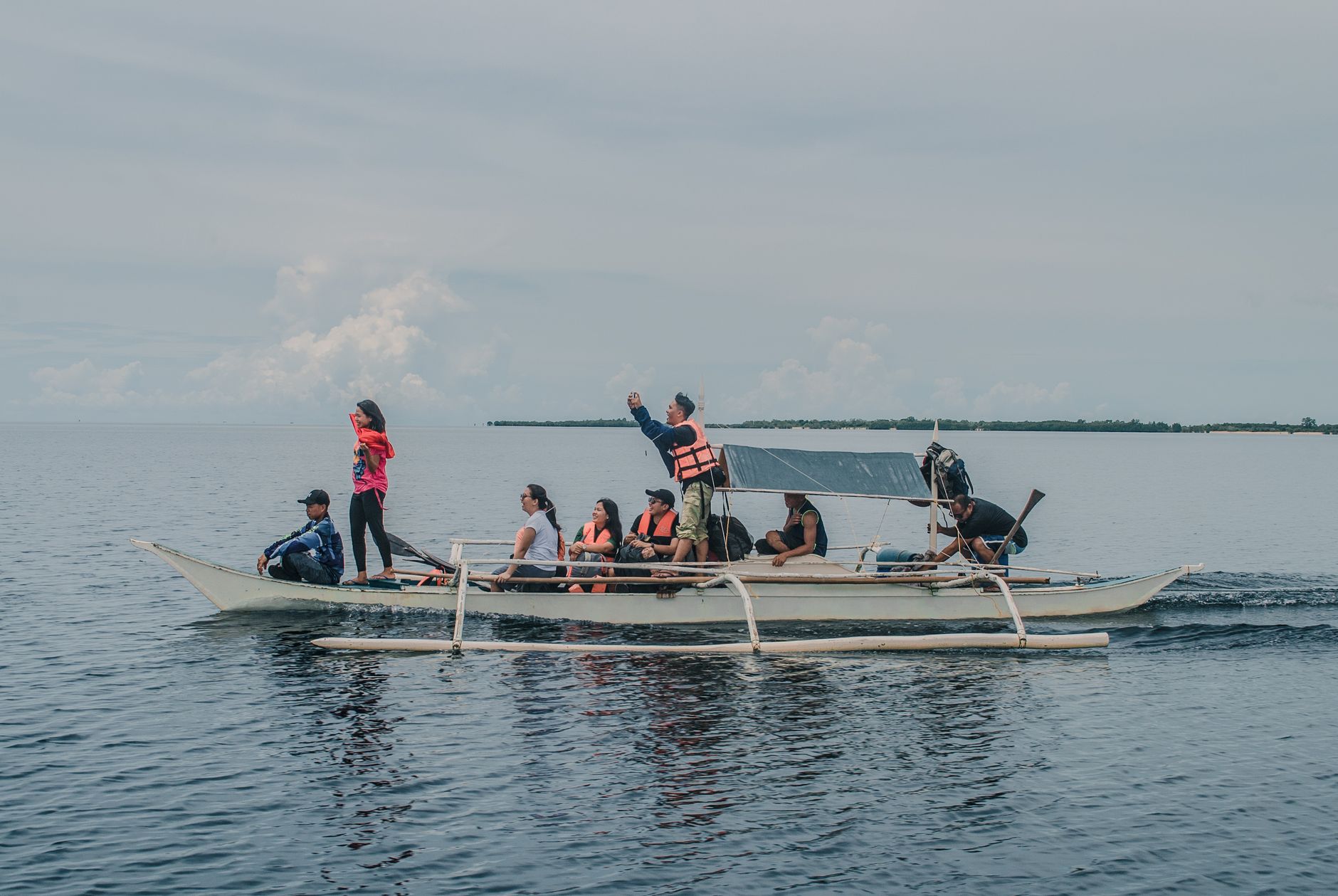
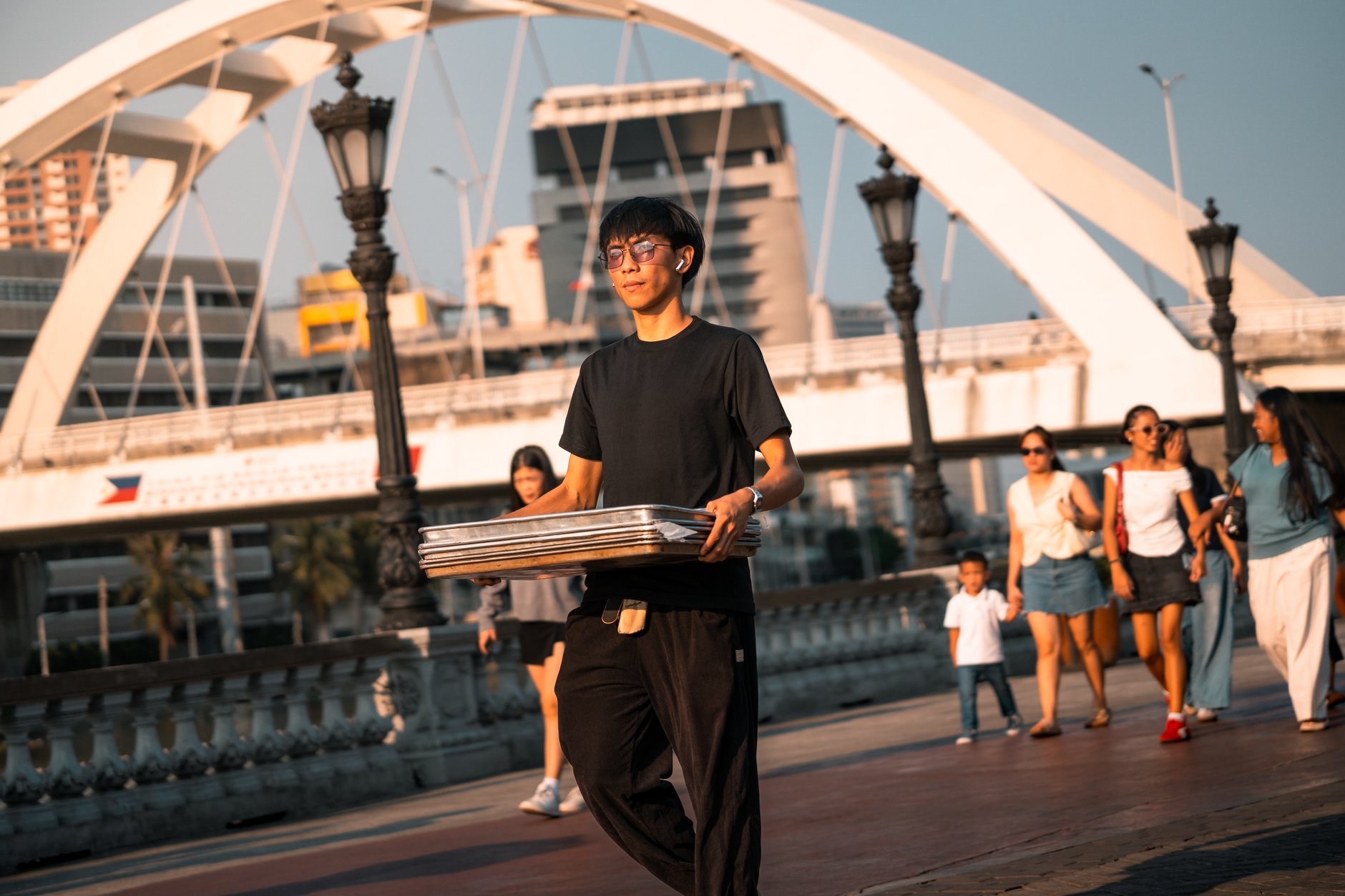
Photo by Thinking Bird Films on Pexels
Philippines
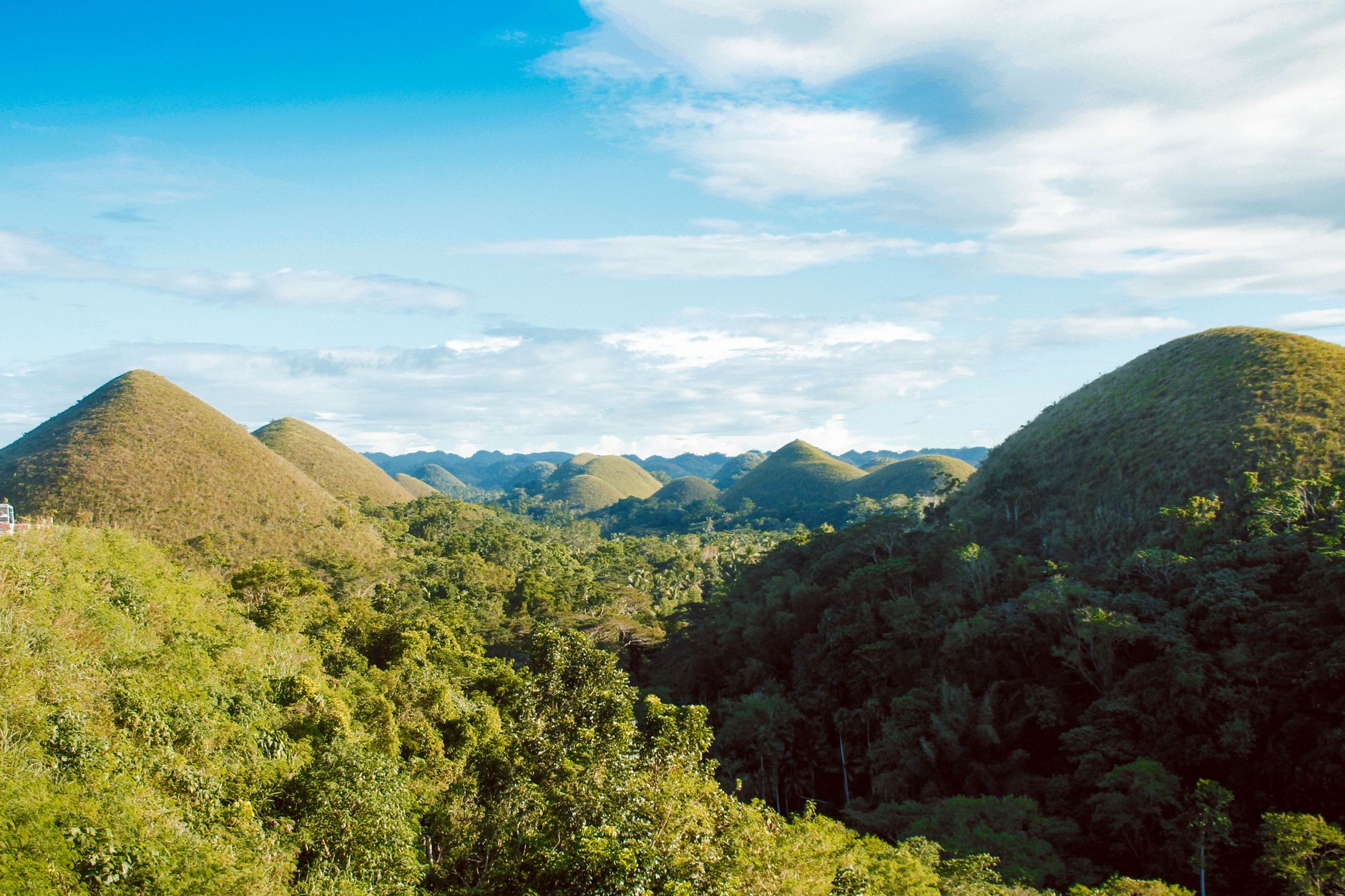
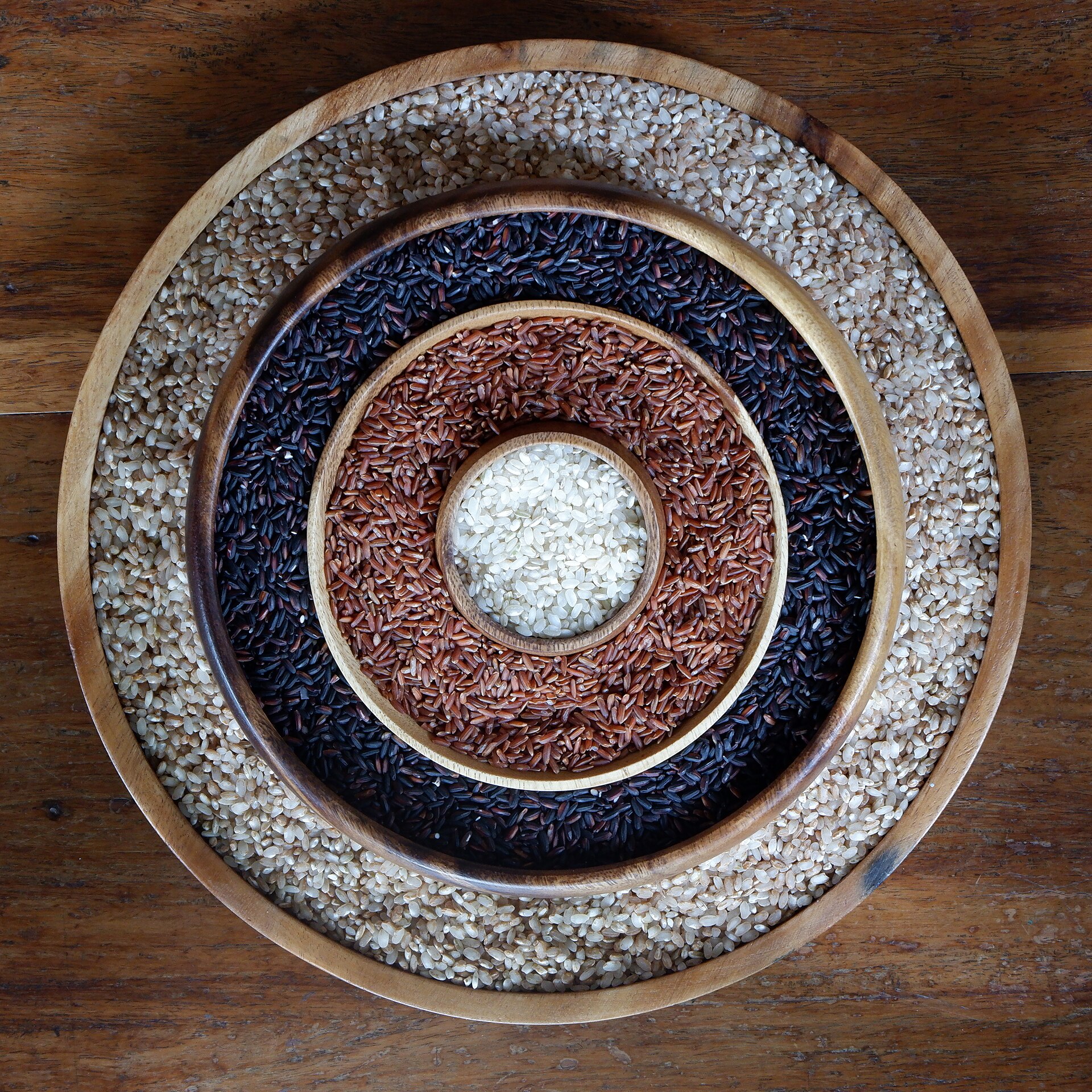
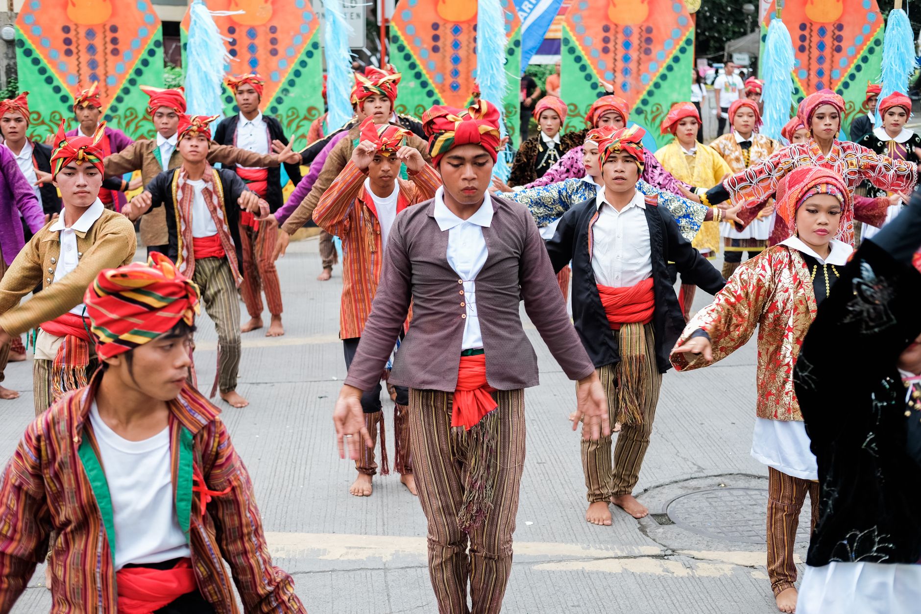
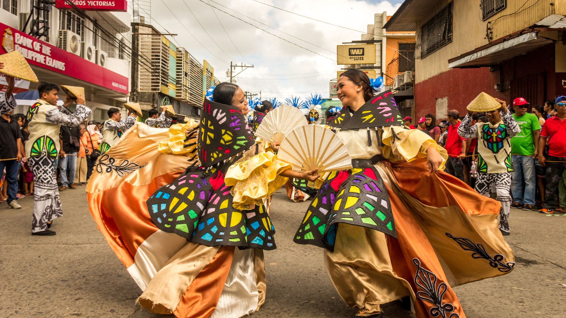
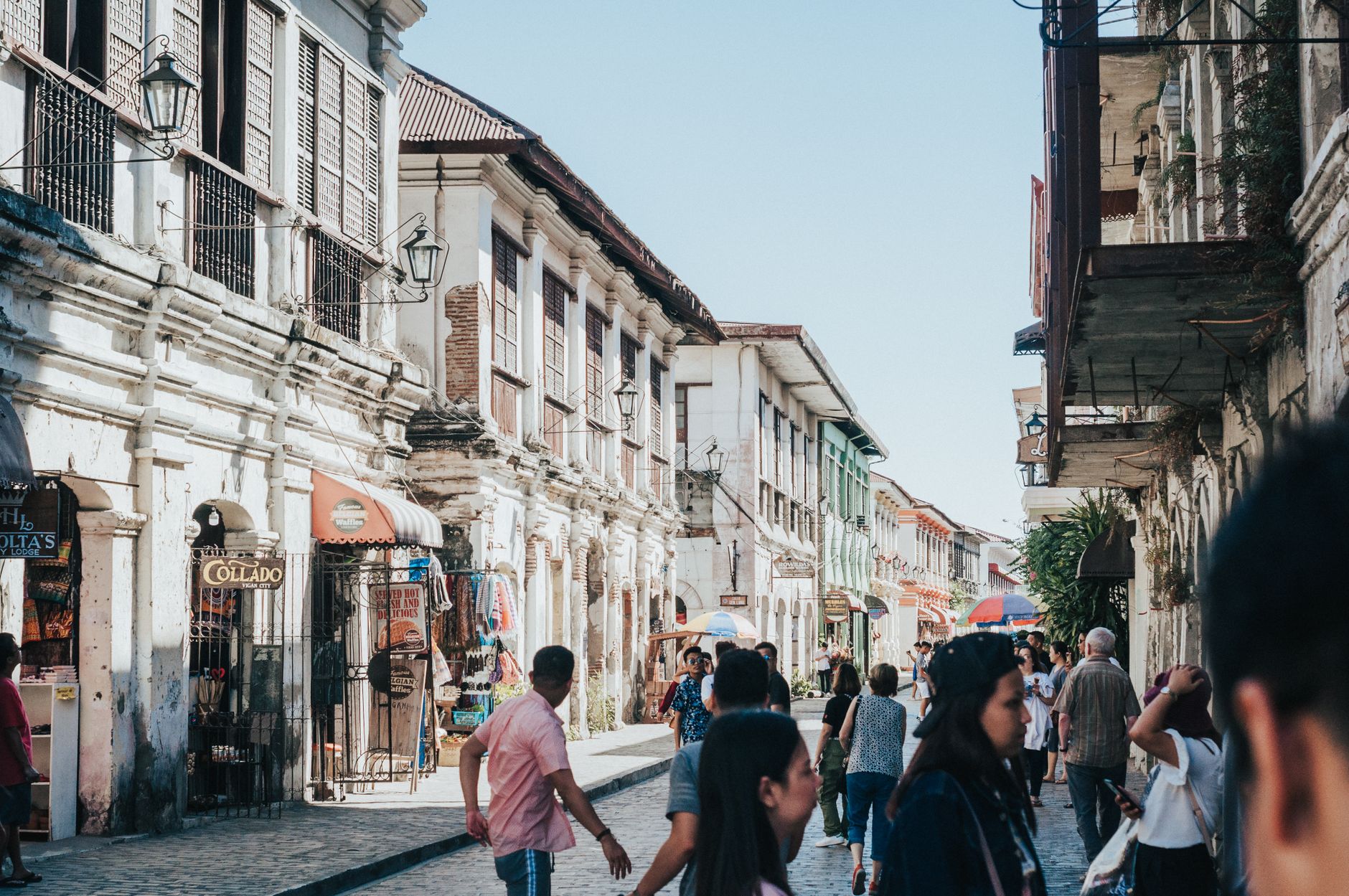
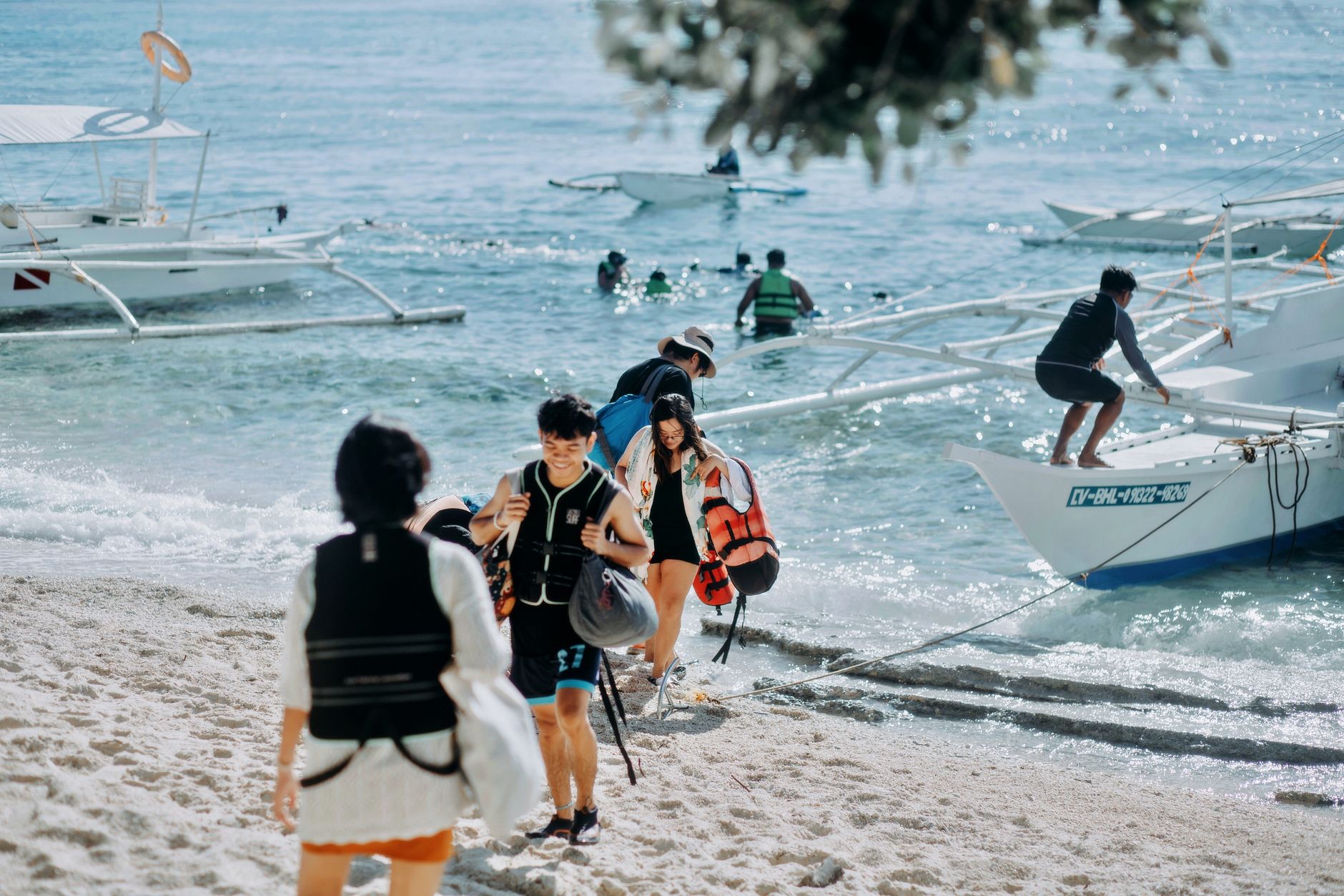
Photo by NIC LAW on Pexels
Philippines
Photo by Denniz Futalan on Pexels
Philippines
Photo by Ramius Aquiler on Pexels
Food & drink Islands & tropical Beach & sun Diving & watersports

The Philippines is an archipelago of more than seven thousand islands scattered across the western Pacific, and that geography shapes everything — the way people move, the food they eat, the particular mix of Spanish colonial stone and Southeast Asian warmth that you find in its oldest cities. Manila is the entry point for most travellers, and Intramuros, the walled city founded in 1571, gives you the clearest sense of how deep the layers go.

Beyond the capital, the country opens into rice terraces carved two millennia ago by the Ifugao people in the mountains of Northern Luzon, baroque churches built to withstand earthquakes, and coastlines that belong to a different story entirely. Few countries in Asia ask you to cover such varied ground.

Good to know
Ninoy Aquino International Airport (MNL), about seven kilometres south of Manila, is the main international gateway. Within the city, LRT and MRT lines connect major corridors; a beep card saves you queuing for single-journey tickets (PHP 12–24). Jeepneys cover gaps the rail lines don't reach.

Deals in Philippines

Book directly at the provider
The story

How Philippines came to be

Spain claimed the Philippines in 1565 and founded Manila six years later, making it the administrative heart of an empire that stretched across the Pacific. For more than three centuries, the walled city of Intramuros housed that colonial apparatus — its oldest surviving structure, San Agustín Church, was completed in 1607 and still stands.

In 1898, rebel leader Emilio Aguinaldo declared independence from the window of his ancestral home in Kawit, Cavite, on June 12 — a date that carries particular weight because it was only in 1962, under President Diosdado Macapagal, that it replaced July 4 as the official Independence Day. The United States had annexed the Philippines after Spain's defeat, and full sovereignty didn't arrive until July 4, 1946. The Commonwealth period before that produced the country's first elected president, Manuel Quezon, in 1935.

People & landmarks

Who and what shaped it

People who shaped it

Emilio Aguinaldo
Declared Philippine independence from Spain on June 12, 1898, from his ancestral home in Kawit, Cavite.
Manuel Quezon
Elected first president of the Commonwealth of the Philippines in 1935.
José Rizal
National hero imprisoned at Fort Santiago before execution in 1896.
Diosdado Macapagal
President who moved Independence Day from July 4 to June 12 in 1962.

Landmark buildings

Intramuros (Walled City), Manila
Founded 1571 by Miguel López de Legazpi; served as Spain's administrative center in Asia with walls built 1590–1872.
San Agustin Church, Manila
Completed 1607; oldest stone church in the Philippines, designated UNESCO World Heritage Site in 1993.
Fort Santiago, Manila
Built 1590 on the site of a pre-Hispanic palace; now a museum and public park within Intramuros.
Basilica Minore del Santo Niño, Cebu City
Founded 1565; oldest Roman Catholic church in the country, built in the 1700s to withstand earthquakes.
Paoay Church, Ilocos Norte
UNESCO World Heritage Site blending Baroque architecture with local materials and techniques.
Banaue Rice Terraces, Northern Luzon
Over 2,000 years old; carved into mountains by the Ifugao people as an example of ancient engineering.
Rizal Park, Manila
Declared a national park in 1955, renamed Rizal Park in 1967 to honor the country's national hero.
Magellan's Cross, Cebu City
Planted by Ferdinand Magellan in 1521; housed in a chapel near the Basilica Minore del Santo Niño.
Barasoain Church, Bulacan
Site where the First Philippine Republic was declared in 1899.
Watch

See Philippines in motion

Practical

Plan your visit

On the map

When to go

The Philippines has a tropical maritime climate — warm year-round, with a dry season running roughly from November to April and a wetter, typhoon-prone period from June through October. If you're planning to move between islands, the dry months give you the most reliable travel conditions.

Right now

30°C
Partly cloudy
Fri
🌧️
31°
27°
Sat
🌧️
30°
28°
Sun
🌧️
29°
28°
Mon
⛈️
29°
27°
Weather data: Open-Meteo
Theme

↡ Regions

Baguio City
Region · Philippines
Baguio City
Wellness & spaNature & outdoors
Batangas
Region · Philippines
Batangas
Islands & tropicalBeach & sun
Bicol Region
Bicol Region
Philippines
Nature & outdoorsHiking & mountainsAdventure & active
Bohol
Bohol
Philippines
Nature & outdoorsIslands & tropicalFamily holiday
Boracay
Boracay
Philippines
luxuryIslands & tropicalBeach & sun
Camiguin
Camiguin
Philippines
Nature & outdoorsHiking & mountainsIslands & tropical
Cebu
Cebu
Philippines
City breakCulture & historyFood & drink
Cordillera Administrative Region
Philippines
Nature & outdoorsHiking & mountainsAdventure & active
Coron, Palawan
Coron, Palawan
Philippines
Adventure & activeIslands & tropicalDiving & watersports
Davao City
Davao City
Philippines
City breakCulture & historyFood & drink
Davao Region
Davao Region
Philippines
Culture & historyFood & drinkNature & outdoors
Ilocos Region
Ilocos Region
Philippines
Culture & historyNature & outdoorsRoad trip & touring
Leyte
Leyte
Philippines
Culture & historyIslands & tropicalBeach & sun
Metro Manila
Metro Manila
Philippines
City breakCulture & historyFood & drink
Negros Island
Negros Island
Philippines
Food & drinkNature & outdoorsIslands & tropical
Palawan
Palawan
Philippines
Nature & outdoorsAdventure & activeIslands & tropical
Sagada
Sagada
Philippines
Nature & outdoorsHiking & mountainsAdventure & active
Siargao
Siargao
Philippines
Adventure & activeIslands & tropicalBeach & sun
Vigan
Vigan
Philippines
City breakCulture & historyRomantic getaway
Zamboanga Peninsula
Zamboanga Peninsula
Philippines
Adventure & activeIslands & tropicalDiving & watersports

No places match these filters.


Background & history adapted from Wikipedia (CC BY-SA) · specs from Wikidata (CC0) · weather from Open-Meteo · map data © OpenStreetMap contributors · photos from Wikimedia Commons / Unsplash with per-image credit. No third-party reviews or social posts reproduced.

Top