
Marshall Islands
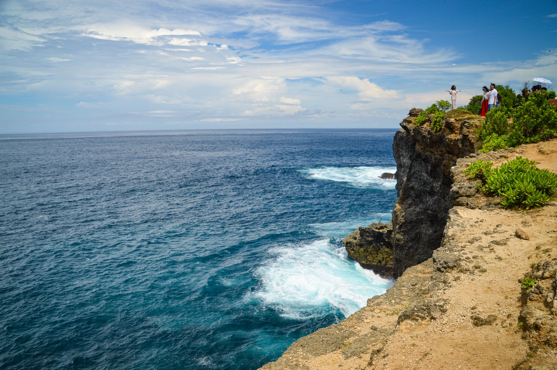
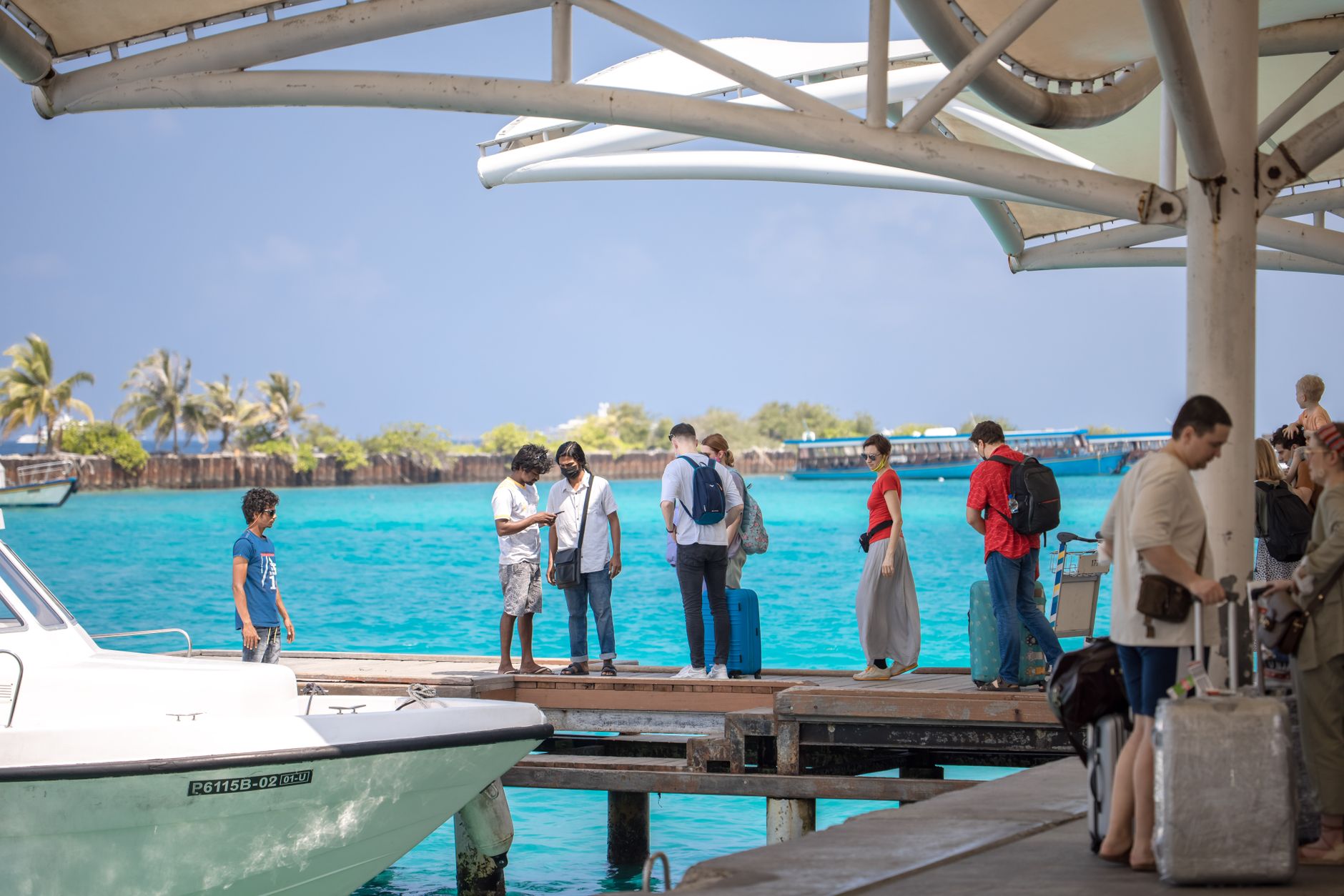
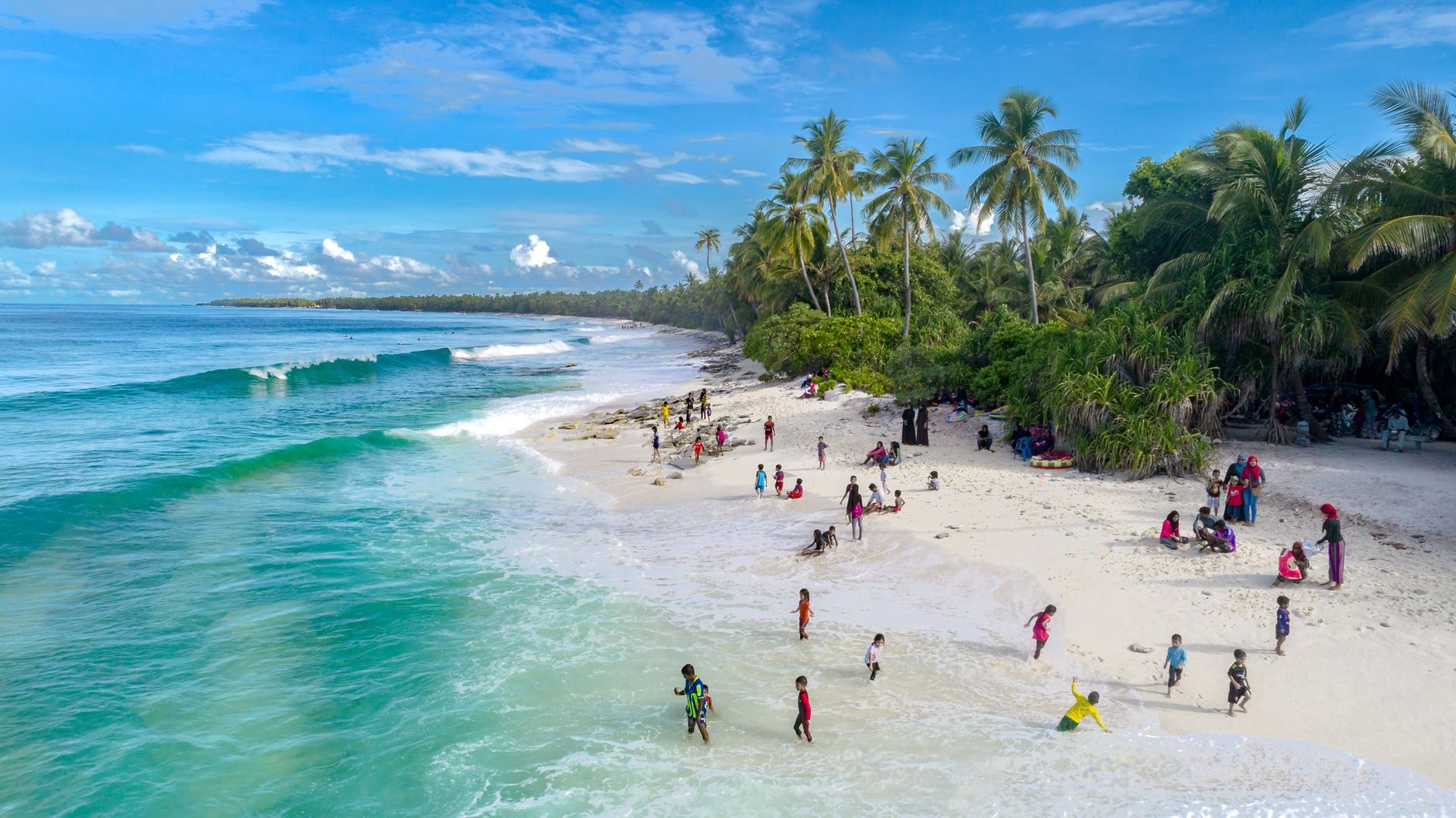
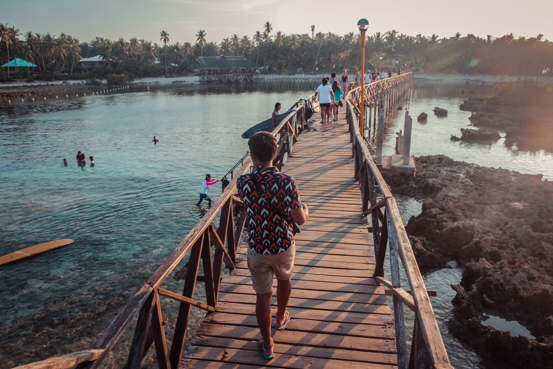
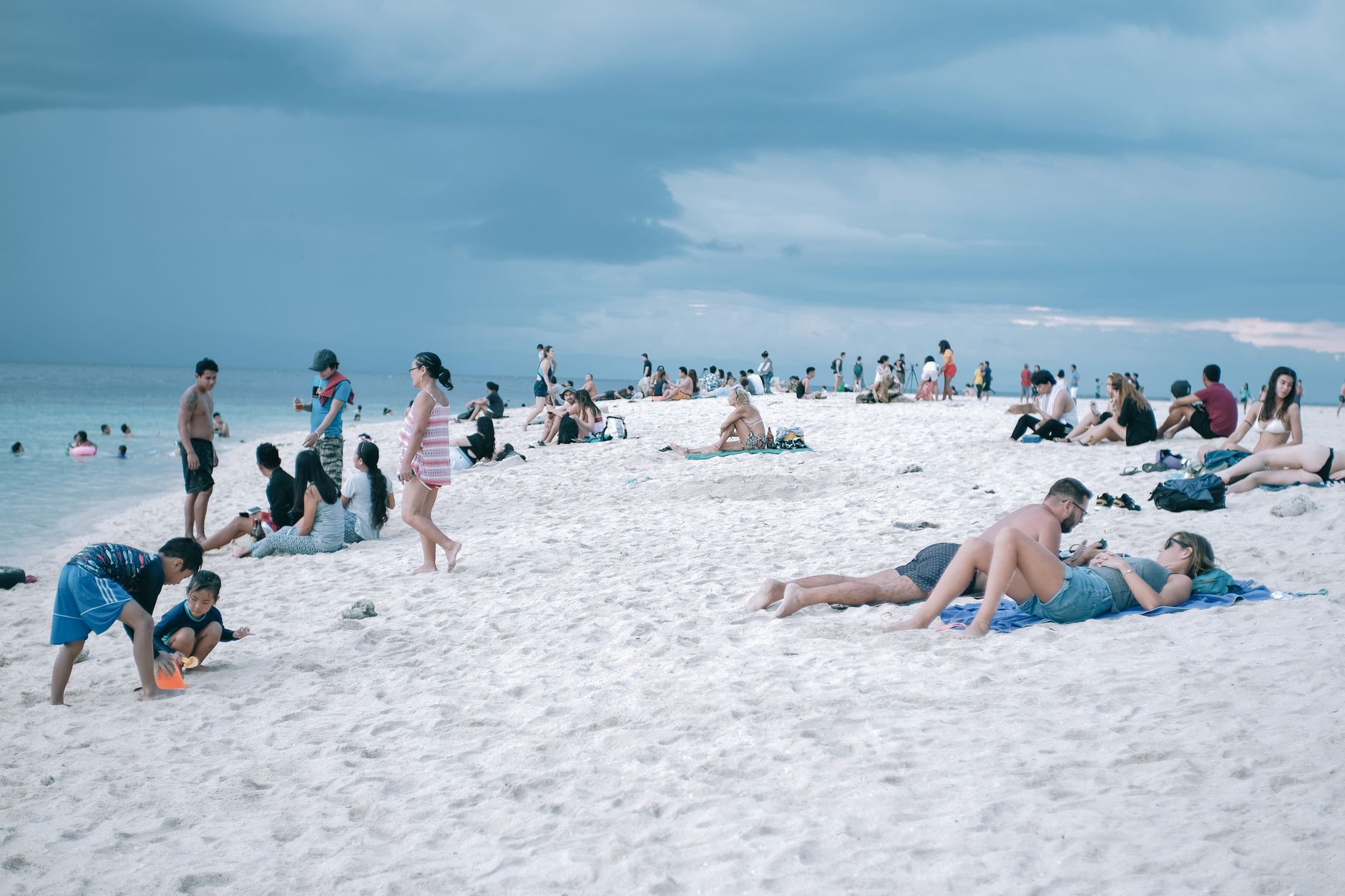
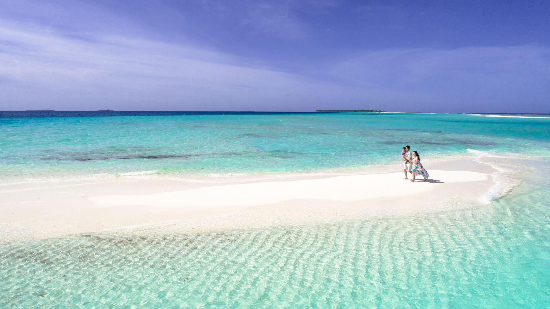
The Marshall Islands is a country built on coral — 29 atolls and five islands scattered across nearly two million square kilometres of Pacific, yet with a total land area smaller than Washington D.C. Almost everything happens along a single road on Majuro, the capital atoll, where the lagoon sits on one side and the open ocean on the other, close enough that you can smell both at once.
What makes the Marshalls distinct is the weight of the 20th century pressed into such a small place: nuclear test sites, a hard-won independence, and a population navigating rising seas with less margin than almost anywhere else on earth. You come here to slow down, but you don't leave without thinking harder.
Deals in Marshall Islands
Book directly at the provider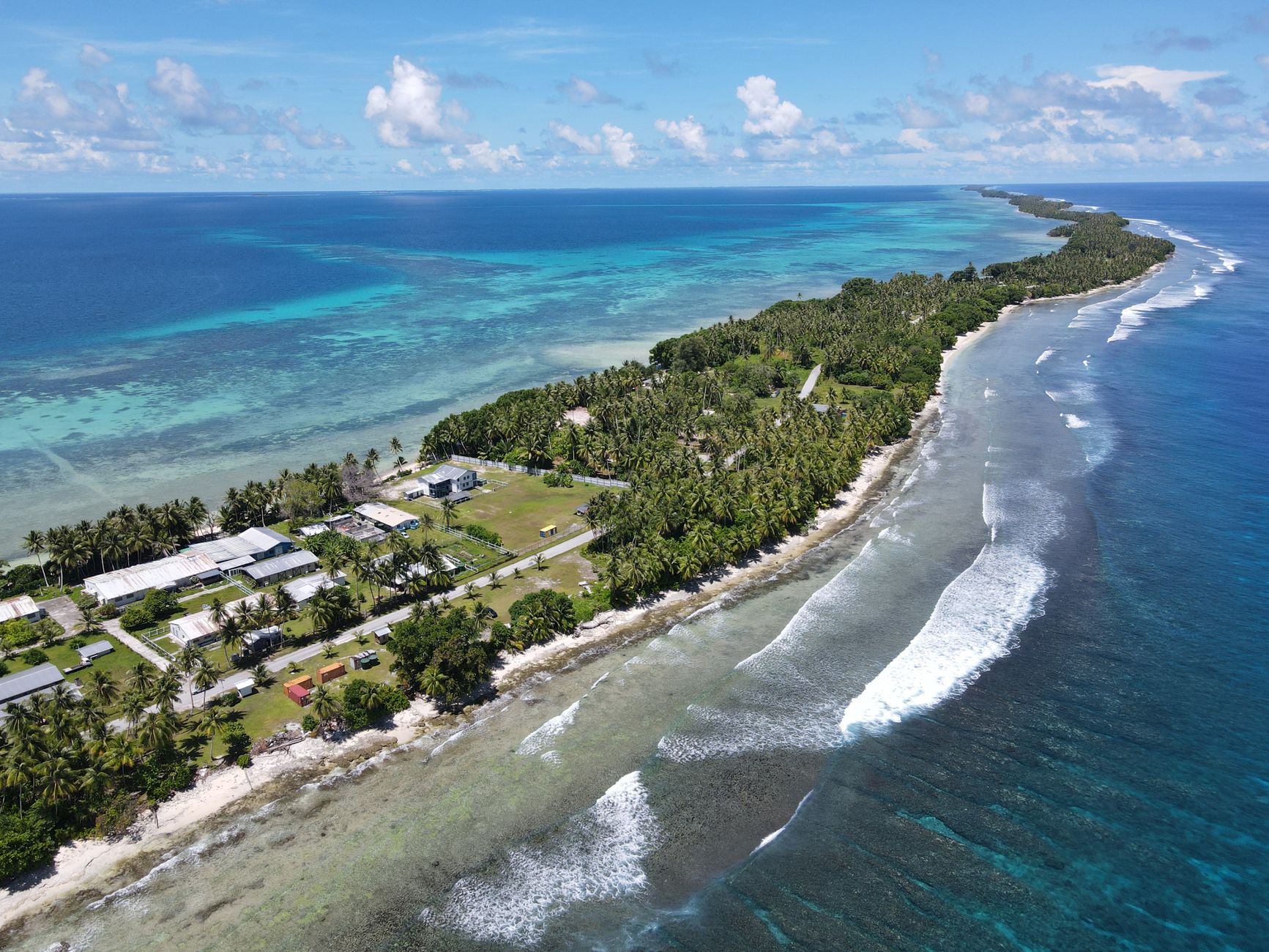

How Marshall Islands came to be
Austronesian settlers reached these atolls roughly two thousand years ago, with some evidence pointing to Bikini's occupation even earlier. Spanish navigator Álvaro Saavedra sighted the islands in 1529, though it was British captains John Marshall and Thomas Gilbert who gave the archipelago its English name after their 1788 passage. Russian expeditions under Krusenstern and Kotzebue filled in the charts through the early 1800s, followed by German traders who arrived at Ebon Atoll in 1859 and built a coconut oil factory two years later.
The 20th century arrived with particular force. Japan controlled the islands through World War II until the United States took military control in 1944. Between 1946 and the late 1950s, the US detonated 23 nuclear weapons across seven test sites at Bikini Atoll — a fact that still shapes Marshallese identity and politics. Independence came formally on October 21, 1986, through the Compact of Free Association; the UN admitted the Marshall Islands in 1991. The nation's first president, Amata Kabua, was recognised by Washington in 1979, and his son David Kabua holds the office today.
Who and what shaped it
People who shaped it
Landmark buildings
See Marshall Islands in motion
Plan your visit
On the map
When to go
Temperatures in Majuro barely move, hovering between 25°C and 31°C year-round. January through April is the driest stretch and the most comfortable time to visit, though brief showers arrive even then; the heaviest rains and the highest typhoon risk run from August through November.
Right now
Background & history adapted from Wikipedia (CC BY-SA) · specs from Wikidata (CC0) · weather from Open-Meteo · map data © OpenStreetMap contributors · photos from Wikimedia Commons / Unsplash with per-image credit. No third-party reviews or social posts reproduced.