
Papua New Guinea
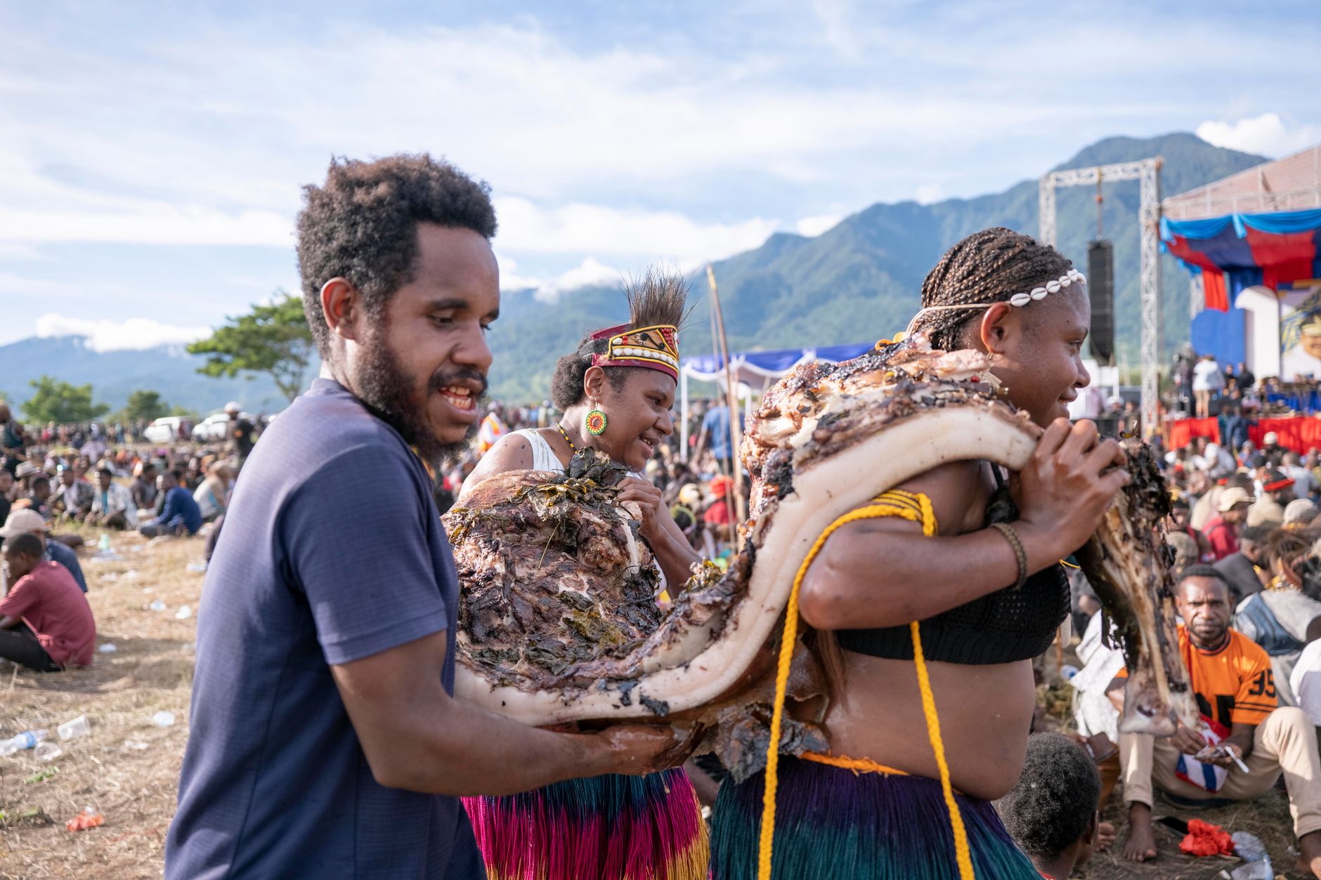
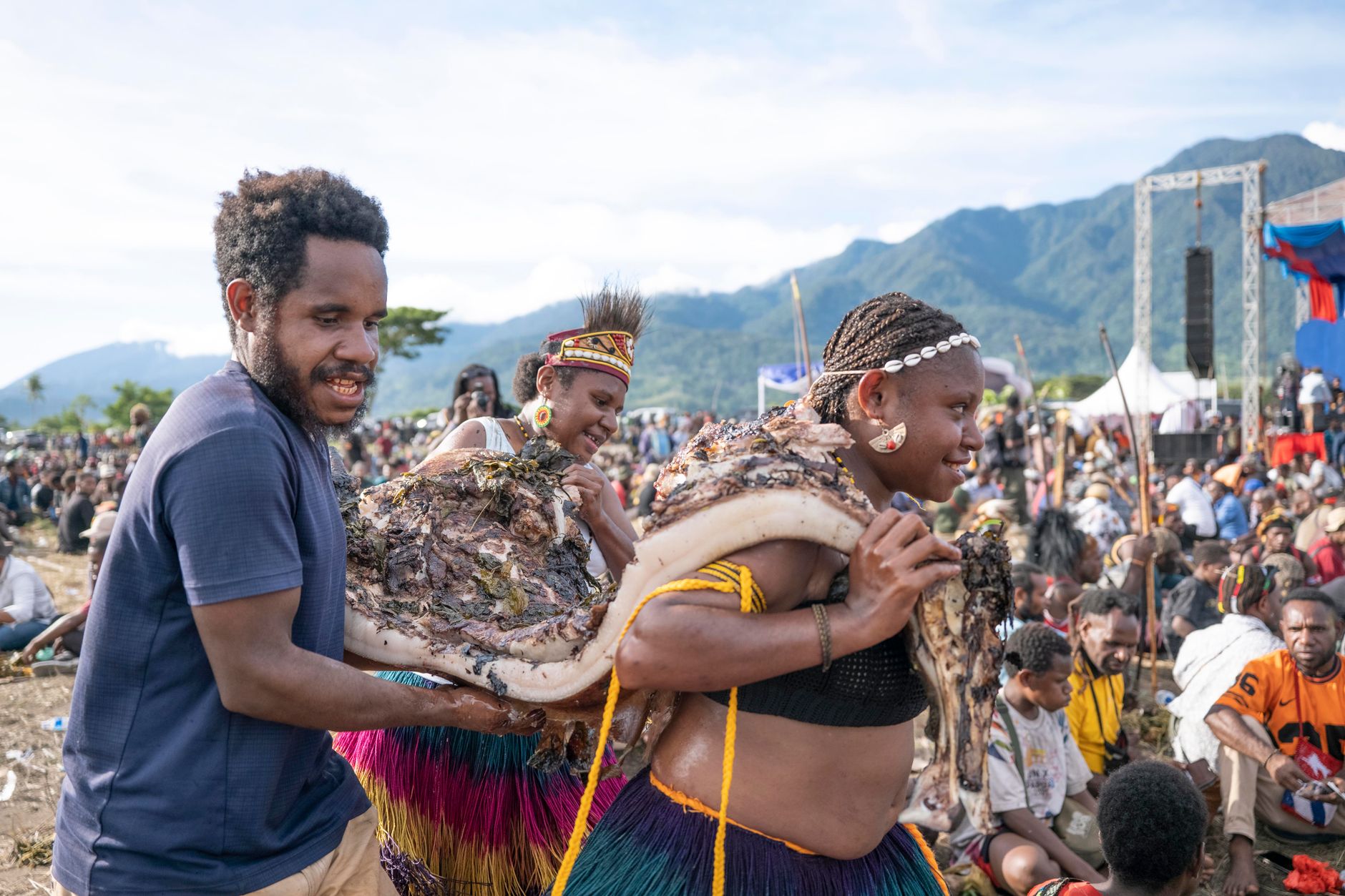
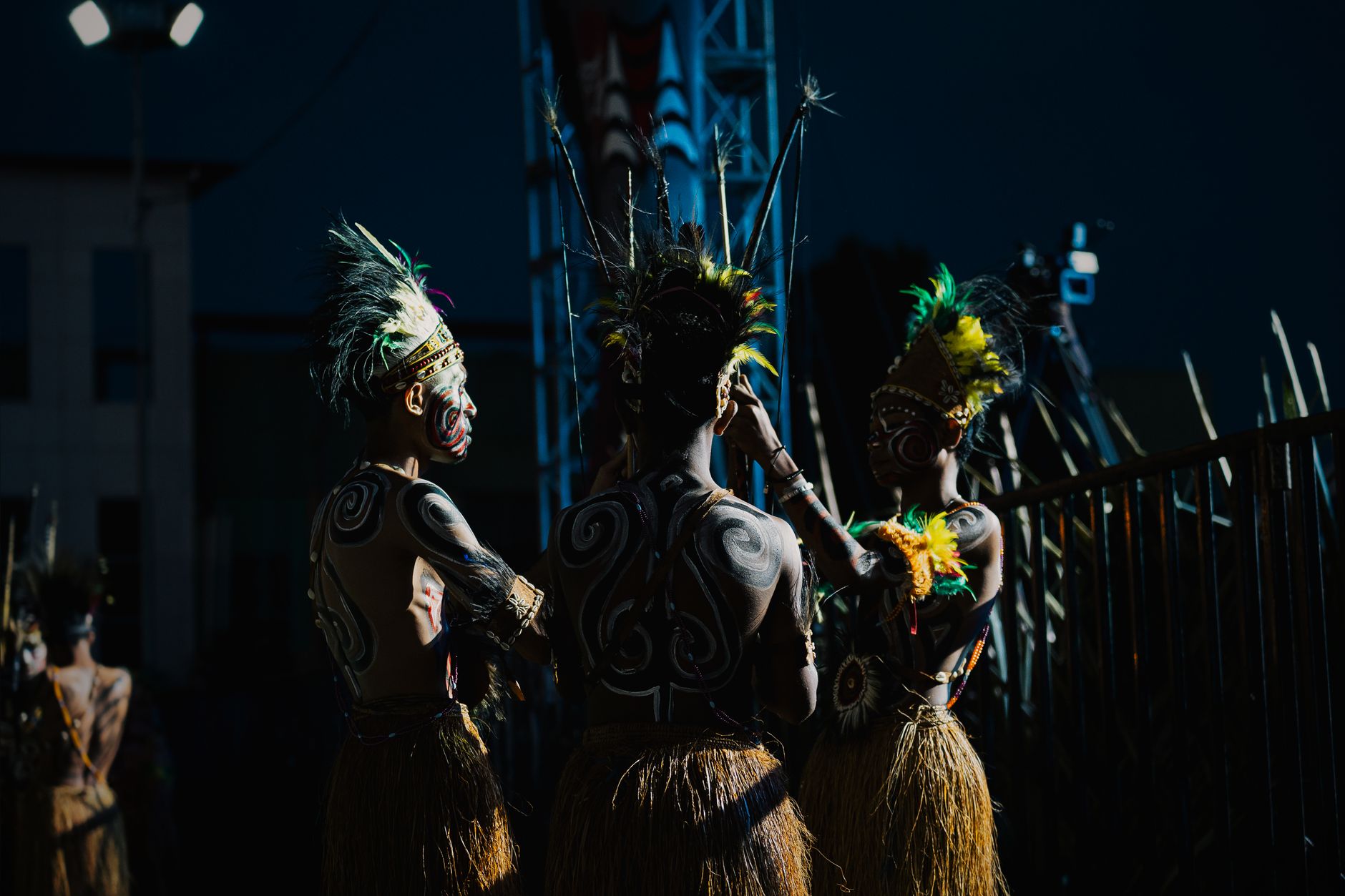
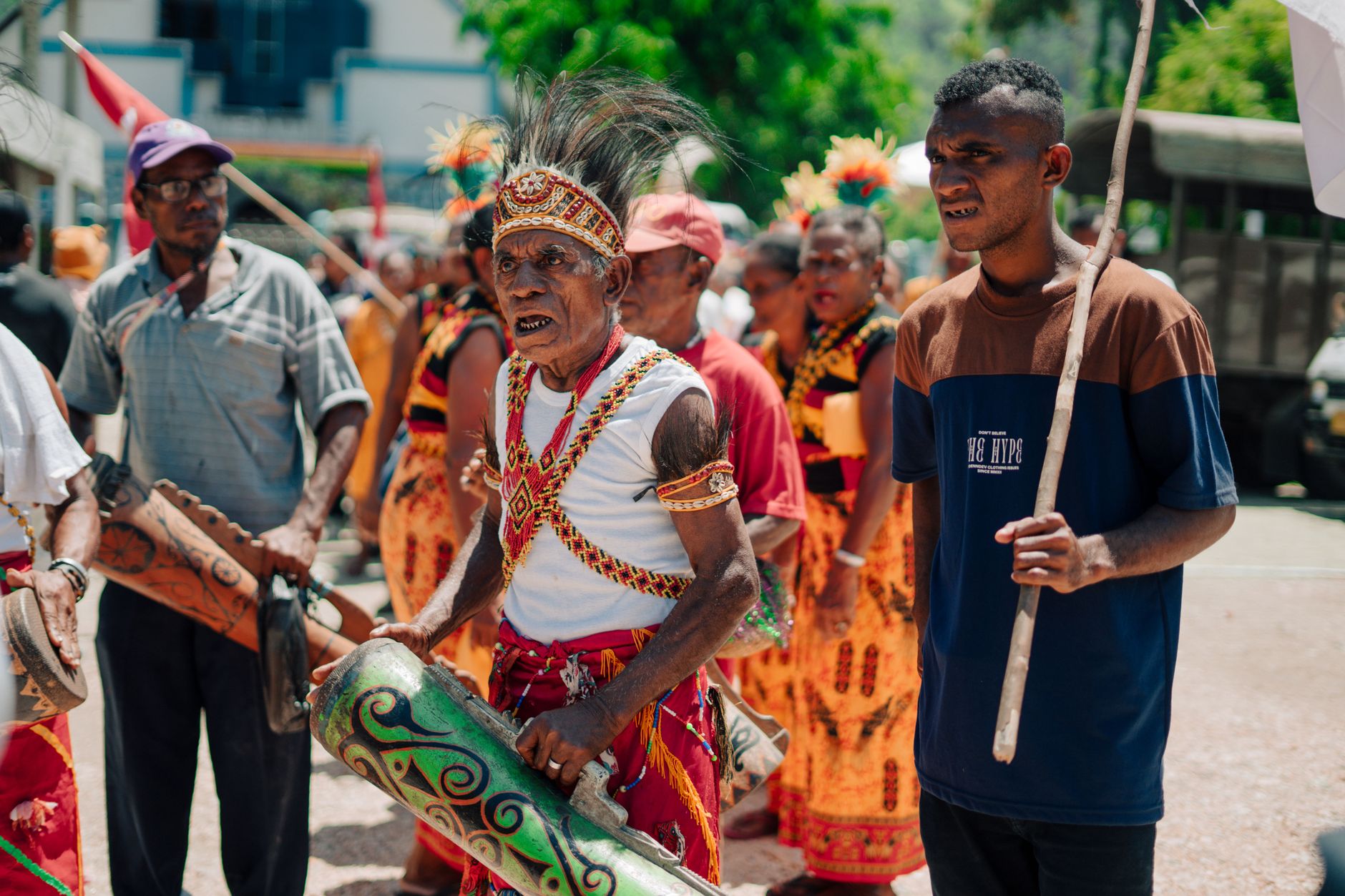
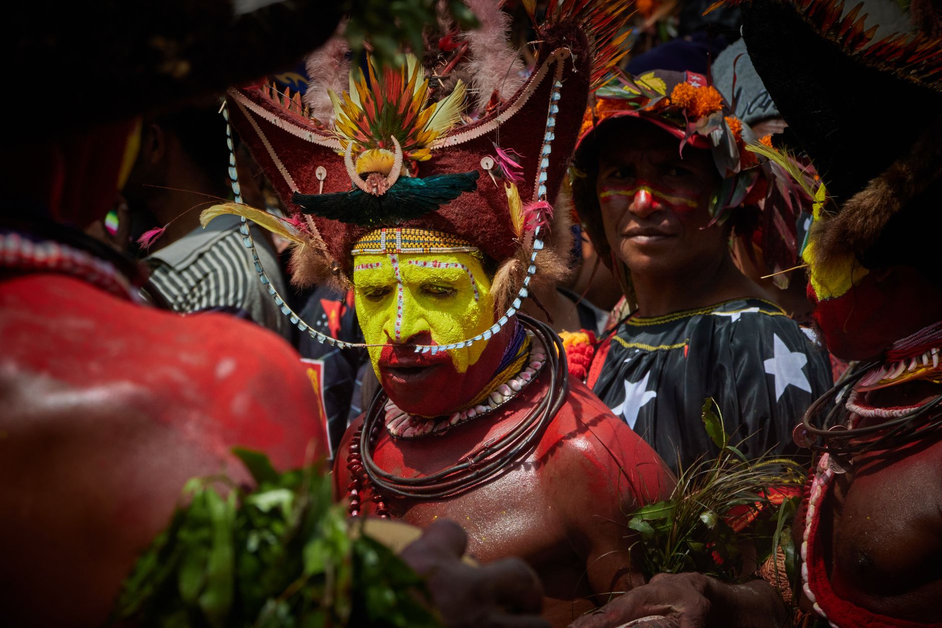
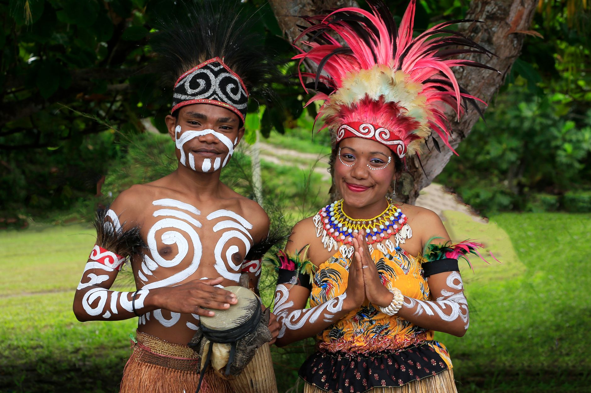
Papua New Guinea occupies the eastern half of the world's second-largest island, plus some 600 smaller ones, and contains more distinct languages — over 800 — than any other country on earth. That single fact does more to orient you than any map. Agriculture was being practised in the highlands here around 7,000 BC, long before most of Europe had thought of it, and the cultures that grew from that deep root remain present and observable today.
What you encounter crossing this country is less a single destination than a loose federation of worlds: the Sepik River's ceremonial art, the ash-grey silhouette of Tavurvur above Rabaul, the ridge-and-valley grind of the Kokoda Track. Getting between them takes planning, patience, and usually Air Niugini.
Deals in Papua New Guinea
Book directly at the provider
How Papua New Guinea came to be
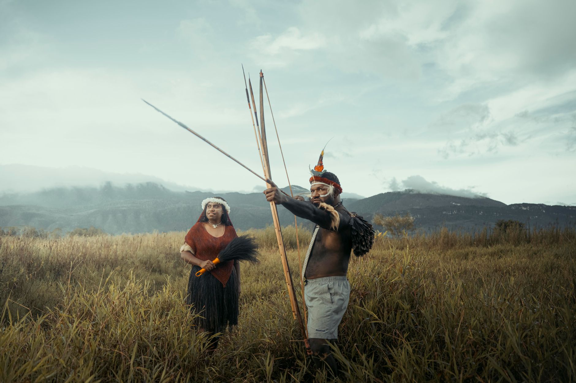
Humans reached New Guinea 50,000 to 60,000 years ago, making this one of the earliest-settled places outside Africa. Spanish explorer Yñigo Ortiz de Retez gave the island the name 'New Guinea' in 1545. By 1884, the island's east had been divided between British and German spheres; Australia took over British New Guinea in 1902, and after World War I assumed control of the former German north as well. The territory's name — and its suffering — became internationally known during the 1942 Kokoda campaign, where Allied and Japanese forces fought a gruelling jungle war along a 96-kilometre mountain track.
Self-governance came on 1 December 1973, and full independence followed on 16 September 1975, with Michael Somare as the country's first Prime Minister. PNG joined the United Nations the same year.
Who and what shaped it
People who shaped it
Landmark buildings
See Papua New Guinea in motion
Plan your visit
On the map
When to go
The coast runs warm and humid year-round, 25–32°C, with the heaviest rain arriving November through April on the northwest monsoon. The highlands sit cooler. For the southern coast and Port Moresby, June through September offers the driest and least oppressive conditions.
Right now
Background & history adapted from Wikipedia (CC BY-SA) · specs from Wikidata (CC0) · weather from Open-Meteo · map data © OpenStreetMap contributors · photos from Wikimedia Commons / Unsplash with per-image credit. No third-party reviews or social posts reproduced.