
Solomon Islands
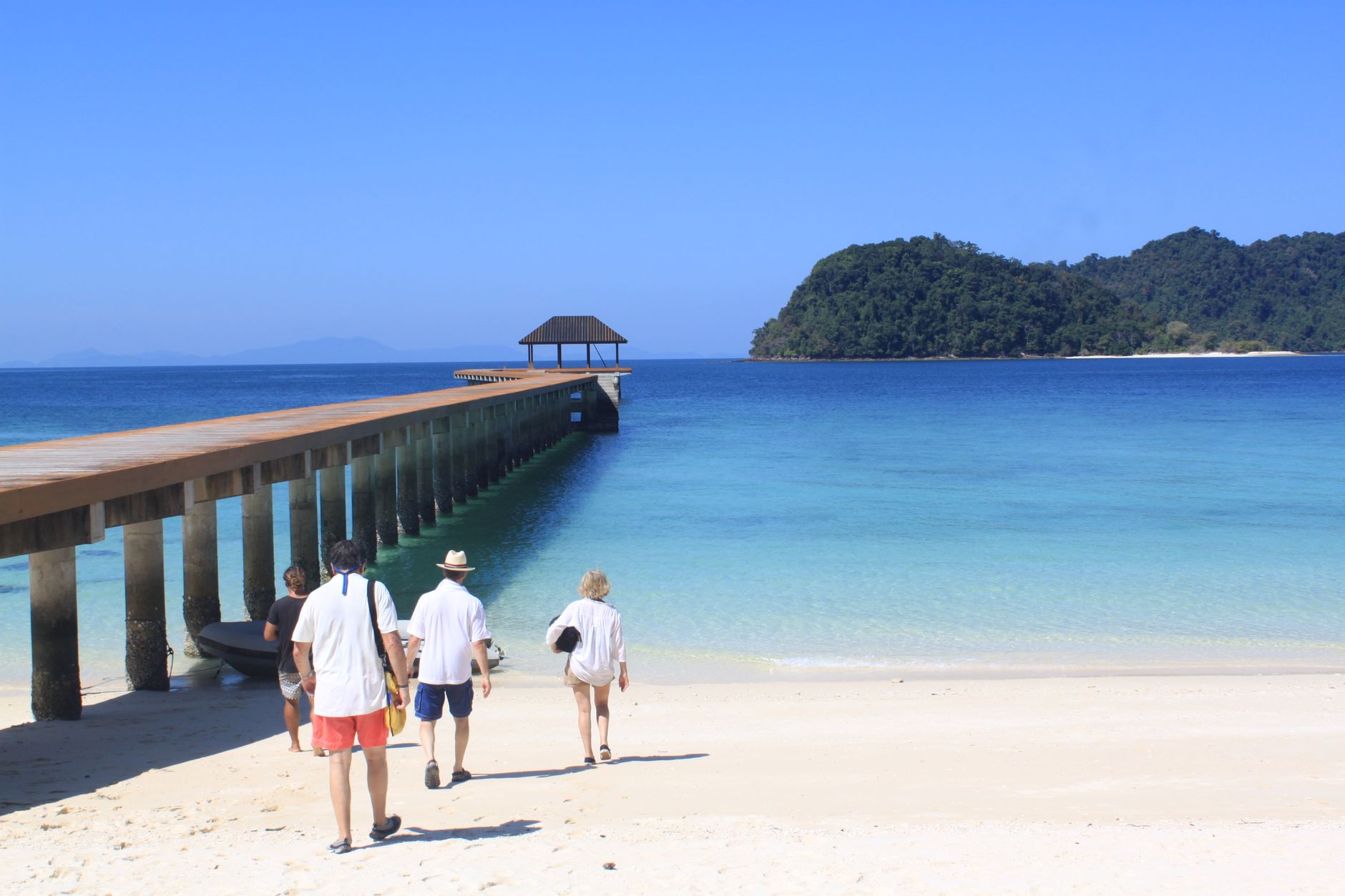
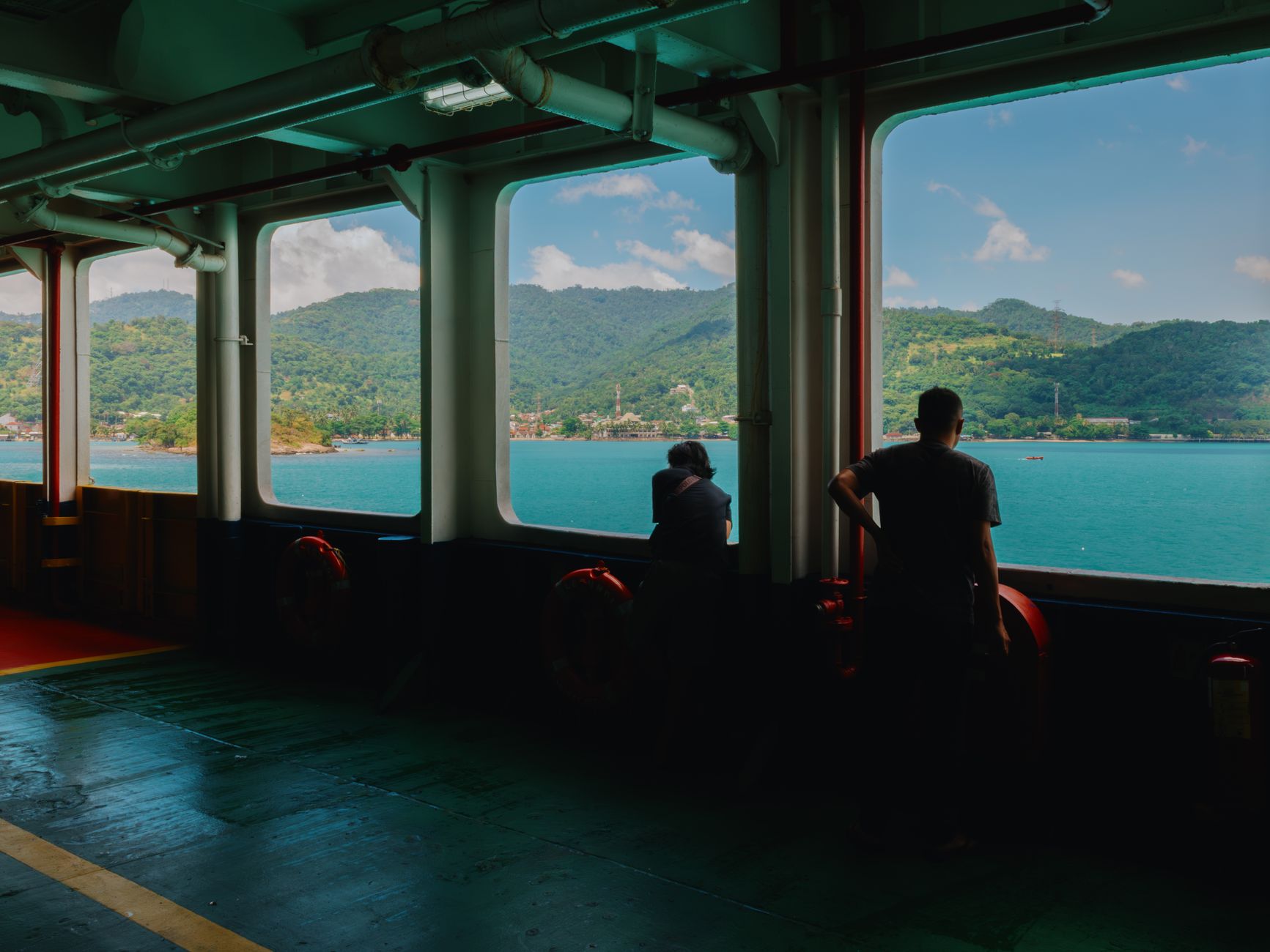
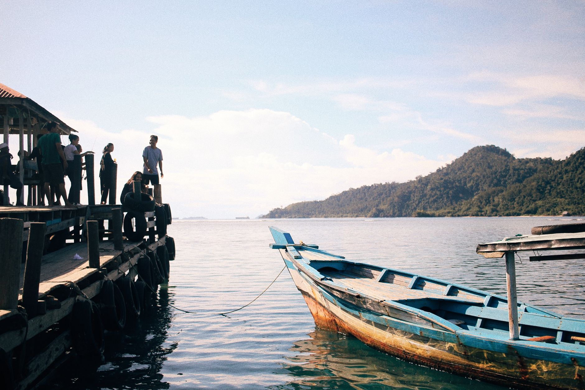
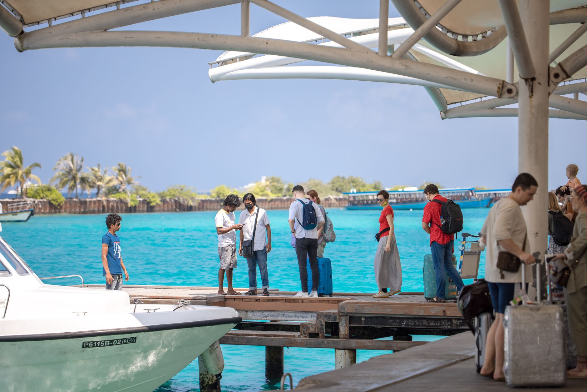
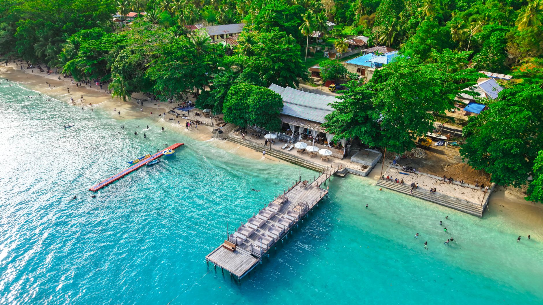
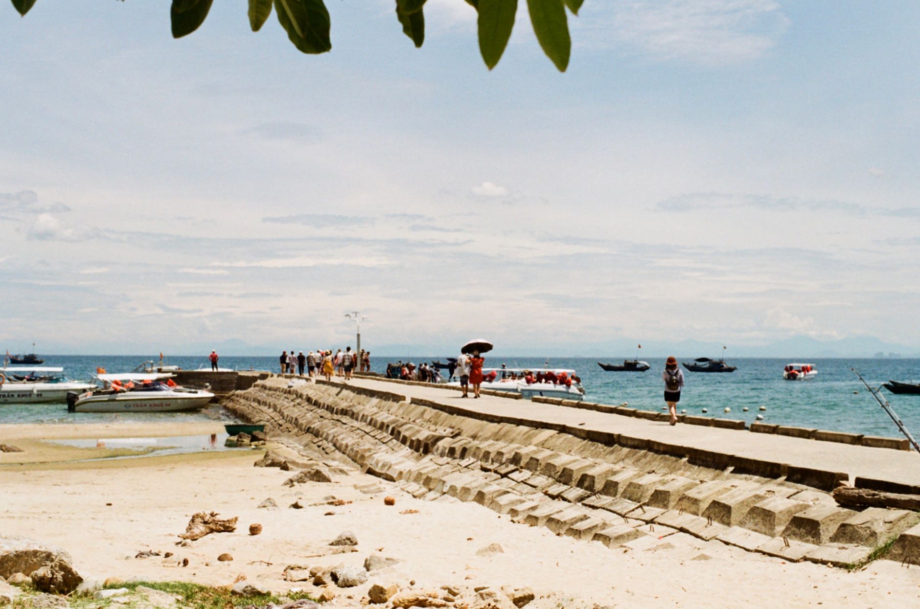
The Solomon Islands is roughly 900 islands strung across the southwestern Pacific, and the first thing most visitors notice is how much of it is water. Marovo Lagoon — the largest saltwater lagoon on earth and a UNESCO World Heritage Site — sits in the New Georgian Islands, its surface broken by uninhabited islets and the occasional dugout canoe. Honiara, the capital on Guadalcanal, runs along Mendana Avenue between a central market that takes up an entire city block and the seafront, and it sets the pace for everything else: unhurried, equatorial, conducted largely on personal terms.
The country runs on two organizing principles outsiders rarely read about before arriving. The first is kastom — the pidgin word for traditional belief and land ownership that shapes everything from village access to forest use. The second is the wantok system, the web of obligation and mutual support between people who share a language group. Both are worth understanding before you go.
Deals in Solomon Islands
Book directly at the provider


How Solomon Islands came to be
People have been living in these islands for roughly 30,000 years, arriving from the Bismarck Islands and New Guinea. The Spanish navigator Álvaro de Mendaña reached them in 1568, and the name he gave them — Islas Salomón — came from reports that tangled the islands with the biblical wealth of King Solomon. Three centuries passed before sustained European presence took hold, and Britain declared a protectorate over the core islands in 1893, adding the outer groups by 1900, with Tulagi serving as the colonial capital.
The country renamed itself The Solomon Islands in 1975, and independence followed on July 7, 1978, with Peter Kenilorea becoming the first Prime Minister. It remains a constitutional monarchy, with King Charles III represented by a governor-general.
Who and what shaped it
People who shaped it
Landmark buildings
See Solomon Islands in motion
Plan your visit
On the map
When to go
The dry season runs May to October, when southeast trade winds bring lower humidity and Honiara sees very little rain — the easier half of the year to travel. The wet season, November to April, brings heavier rainfall and warmer temperatures around 31°C, peaking in January through March; the sea is warm enough to swim year-round regardless of season.
Right now
Background & history adapted from Wikipedia (CC BY-SA) · specs from Wikidata (CC0) · weather from Open-Meteo · map data © OpenStreetMap contributors · photos from Wikimedia Commons / Unsplash with per-image credit. No third-party reviews or social posts reproduced.