
Colombia
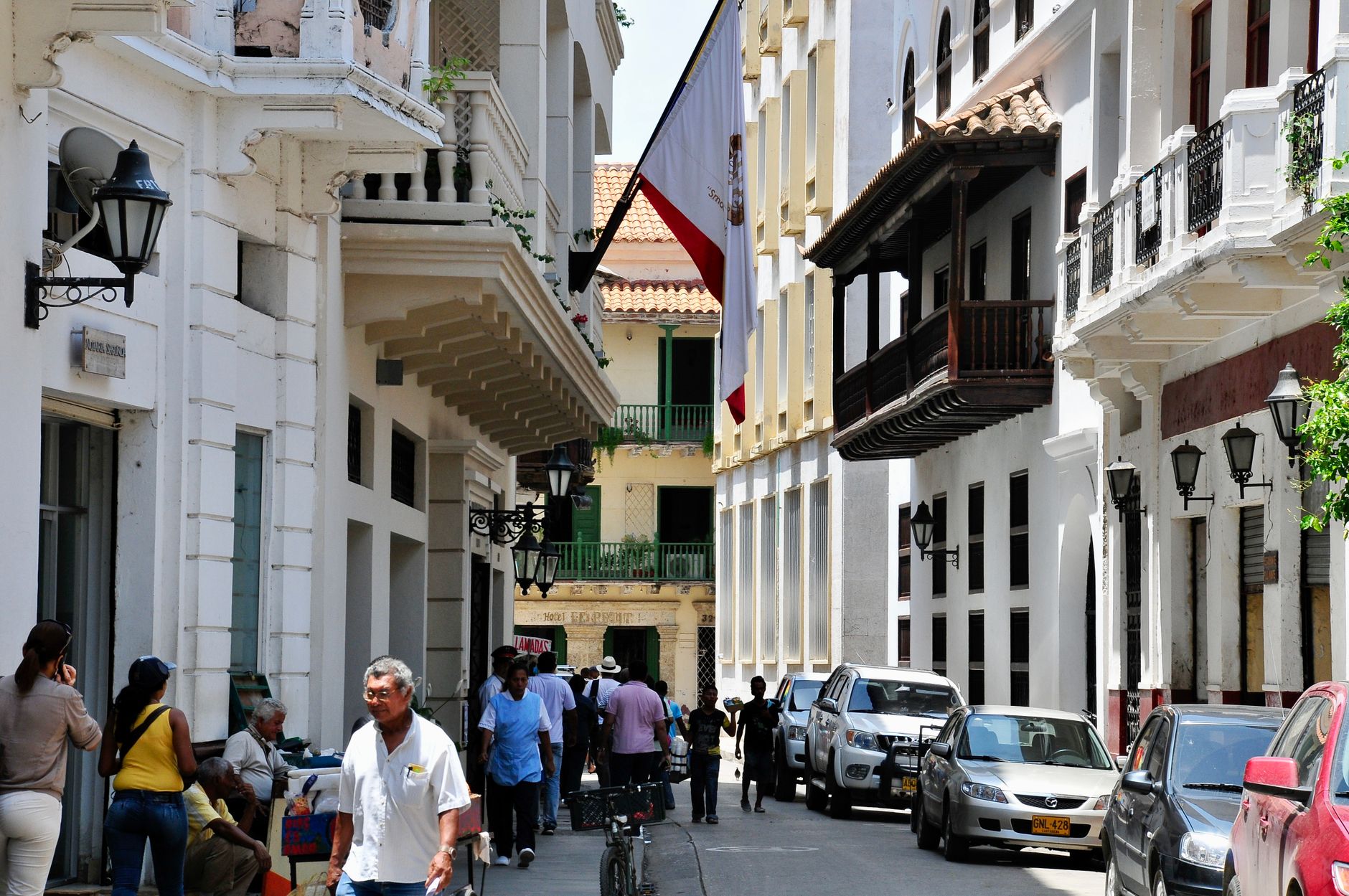
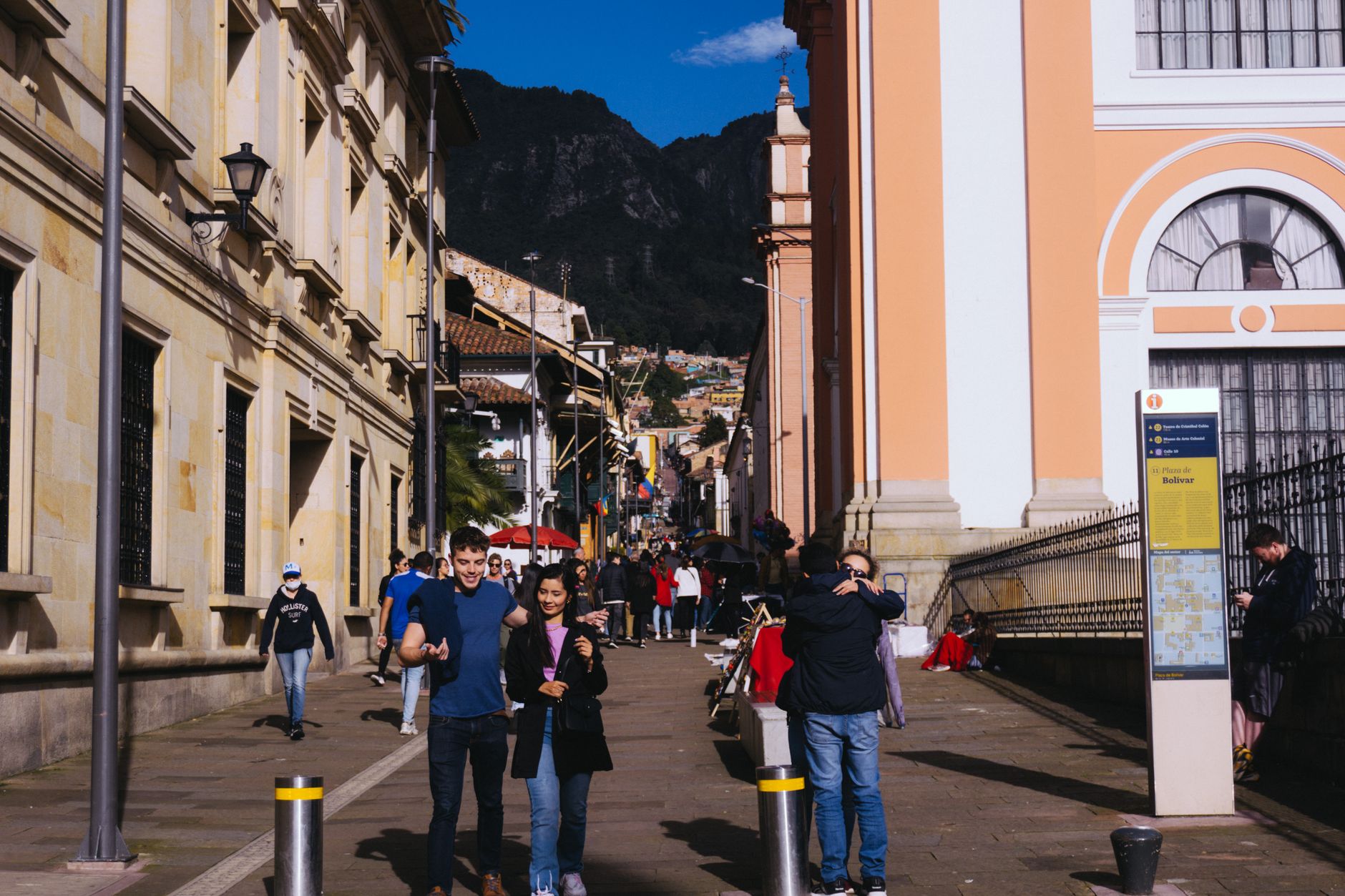
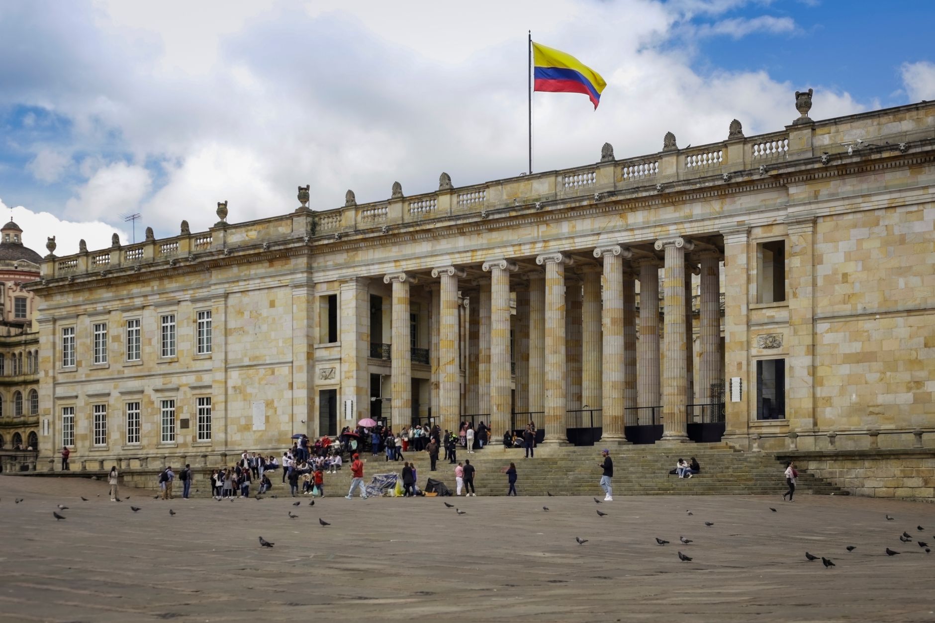
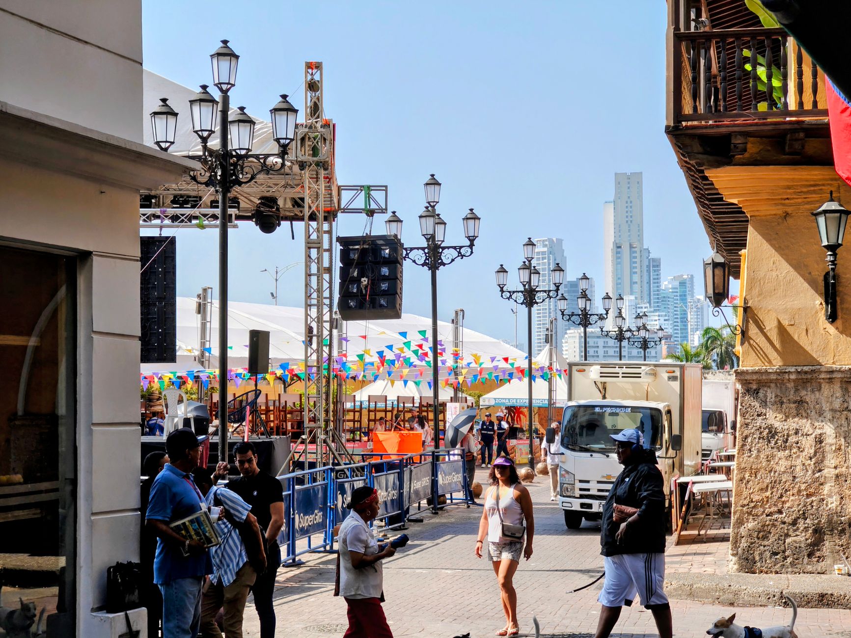
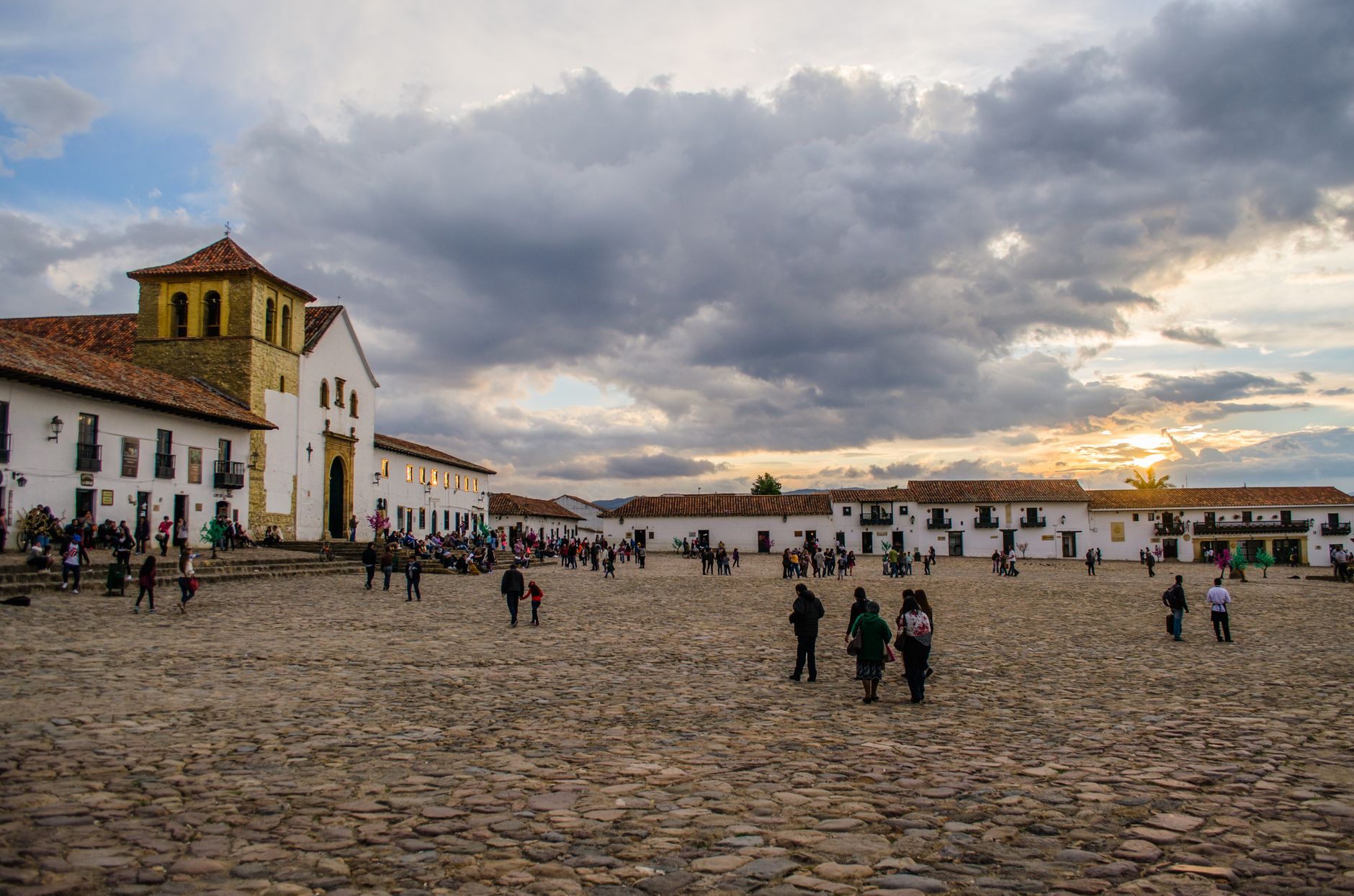
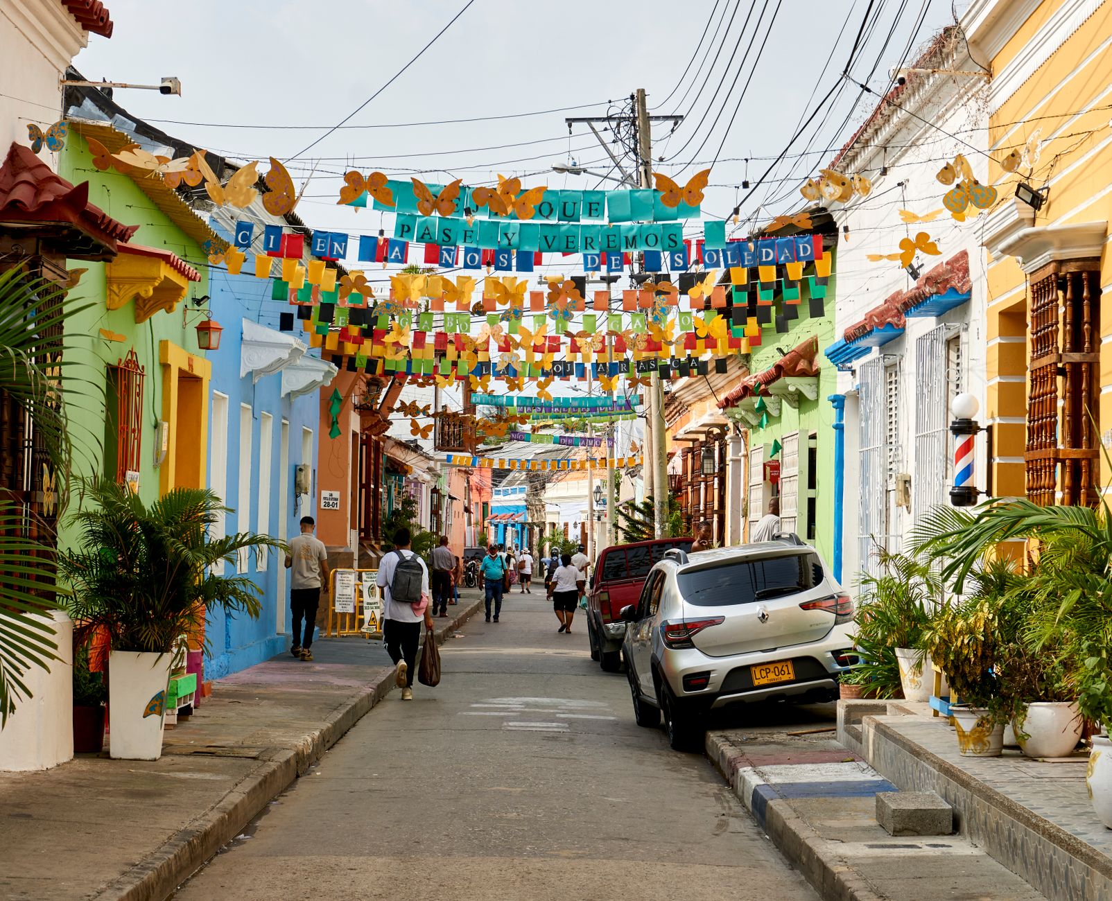
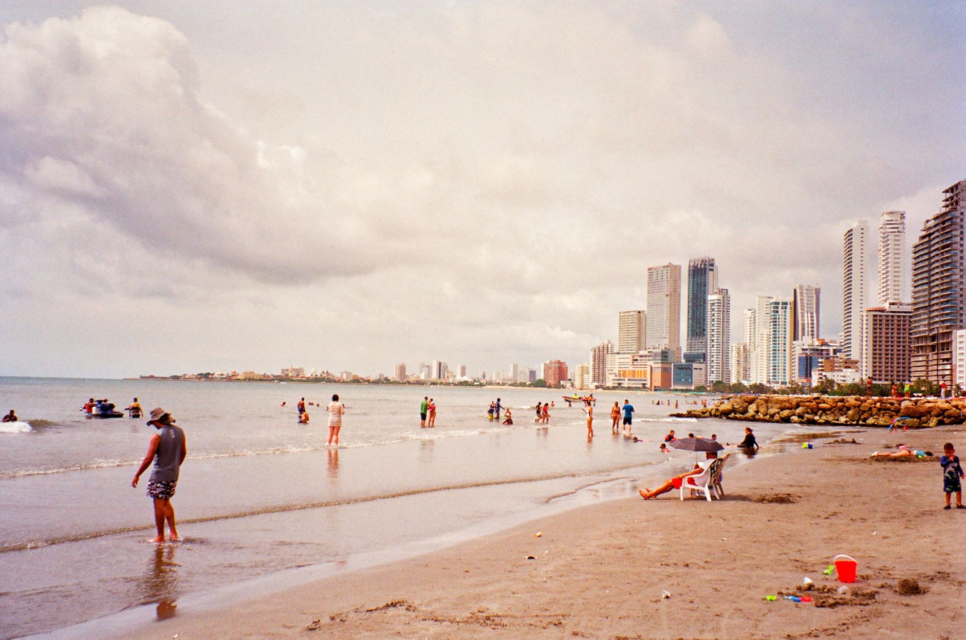
Colombia sits where the Andes fracture into three separate ranges before dissolving into the Caribbean, the Pacific, and the Amazon basin — a geography that produces not one climate but five, not one culture but dozens. At 8,660 feet above sea level, Bogotá runs cool and overcast most of the year; four hundred kilometres north, Cartagena bakes at 30°C beside a sea that has barely changed colour since the Spanish galleons left.
The country covers 1.14 million square kilometres and holds around 52 million people, which means the distances between its cities are real. Plan accordingly, and the variation rewards you.
Popular regions in Colombia
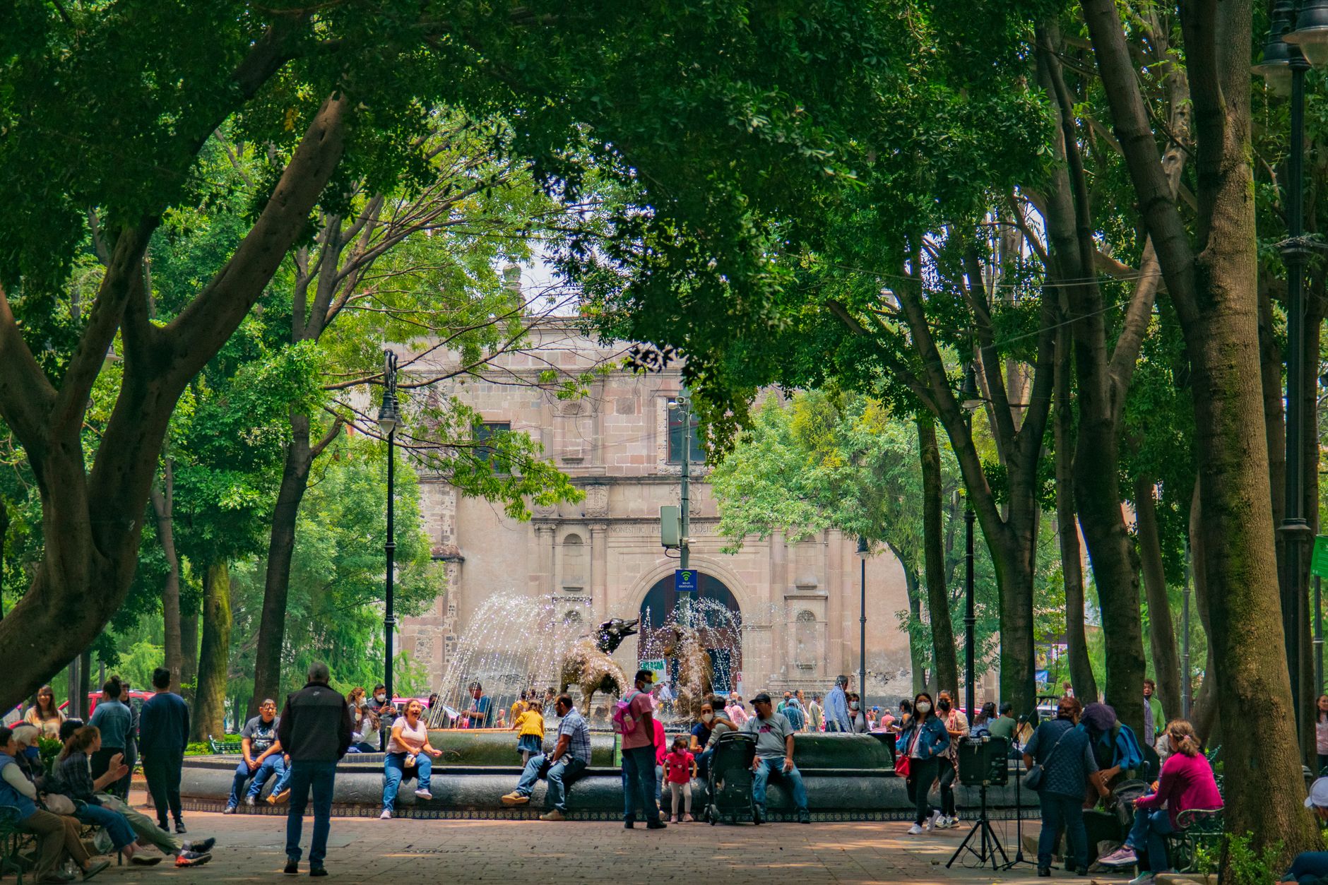
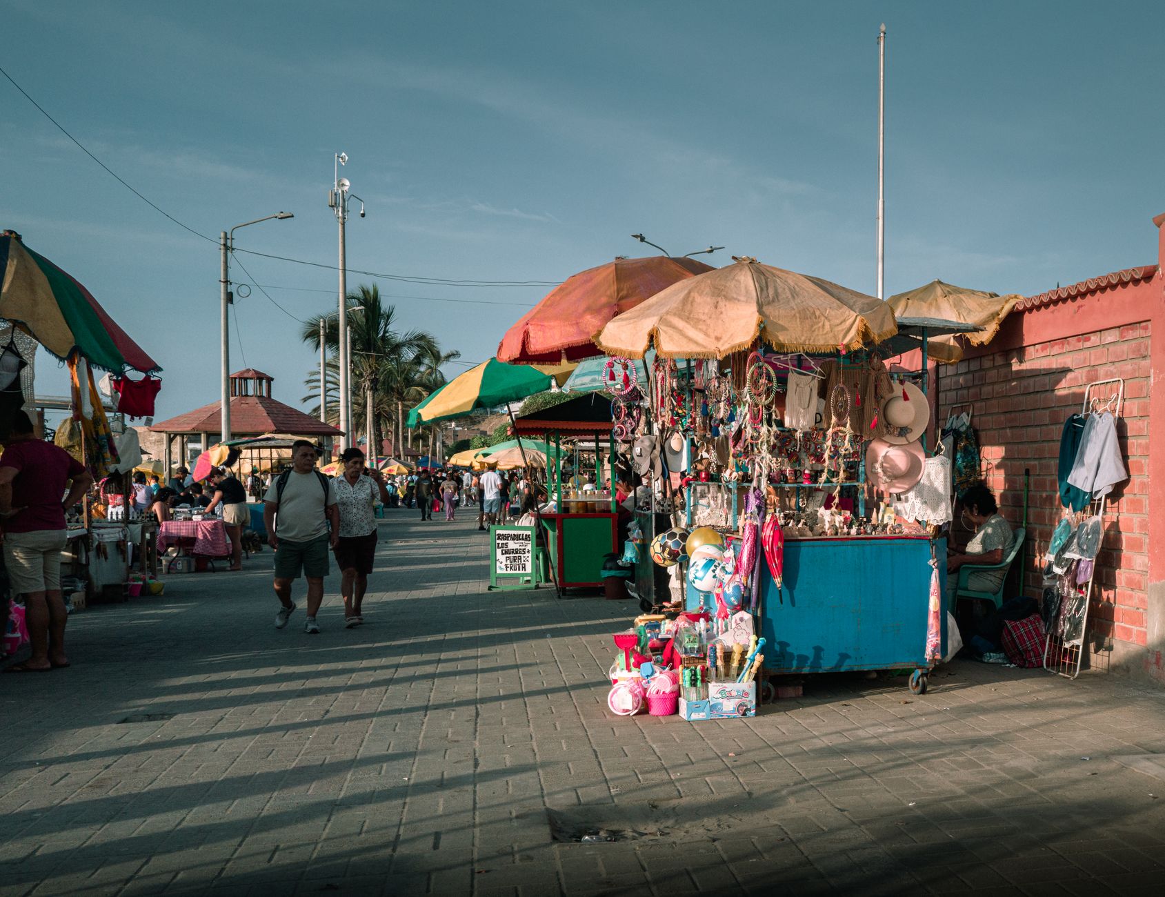
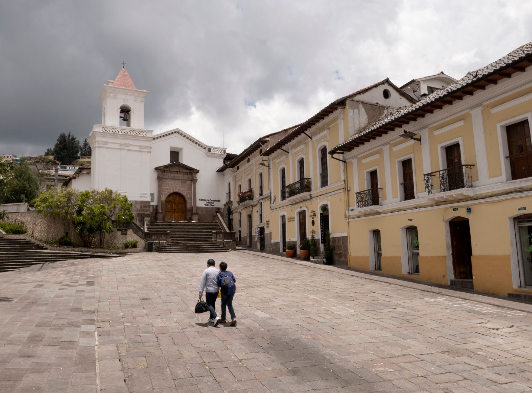
Deals in Colombia
Book directly at the provider

How Colombia came to be
The Spanish founded Santa Marta in 1525, Cartagena in 1533, and Bogotá in 1538, establishing the Audiencia of Santafé de Bogotá in 1549 to govern what would become one of the wealthiest colonial territories in the Americas. Independence was declared on July 20, 1810, though the military campaign — led by Simón Bolívar — wasn't decided until the Battle of Boyacá on August 7, 1819. The Congress of Cúcuta in 1821 adopted a constitution and made Bolívar the republic's first president.
The country went through several names — the Granadine Confederation, then the United States of Colombia — before settling on the Republic of Colombia in 1886. Panama broke away in 1903. That long, complicated process of becoming itself left Colombia with one of the most layered colonial and republican built environments in South America.
Who and what shaped it
People who shaped it
Landmark buildings
See Colombia in motion
Plan your visit
On the map
When to go
Because altitude shapes everything here, pack for the city you're actually visiting: Bogotá averages around 14°C year-round with rain on roughly 200 days, while Medellín sits comfortably between 22–25°C and the Caribbean coast runs warm and humid regardless of season. The national dry season runs December to March — the most reliable window for travel across multiple regions.
Right now
↡ Cities
Background & history adapted from Wikipedia (CC BY-SA) · specs from Wikidata (CC0) · weather from Open-Meteo · map data © OpenStreetMap contributors · photos from Wikimedia Commons / Unsplash with per-image credit. No third-party reviews or social posts reproduced.