
Suriname
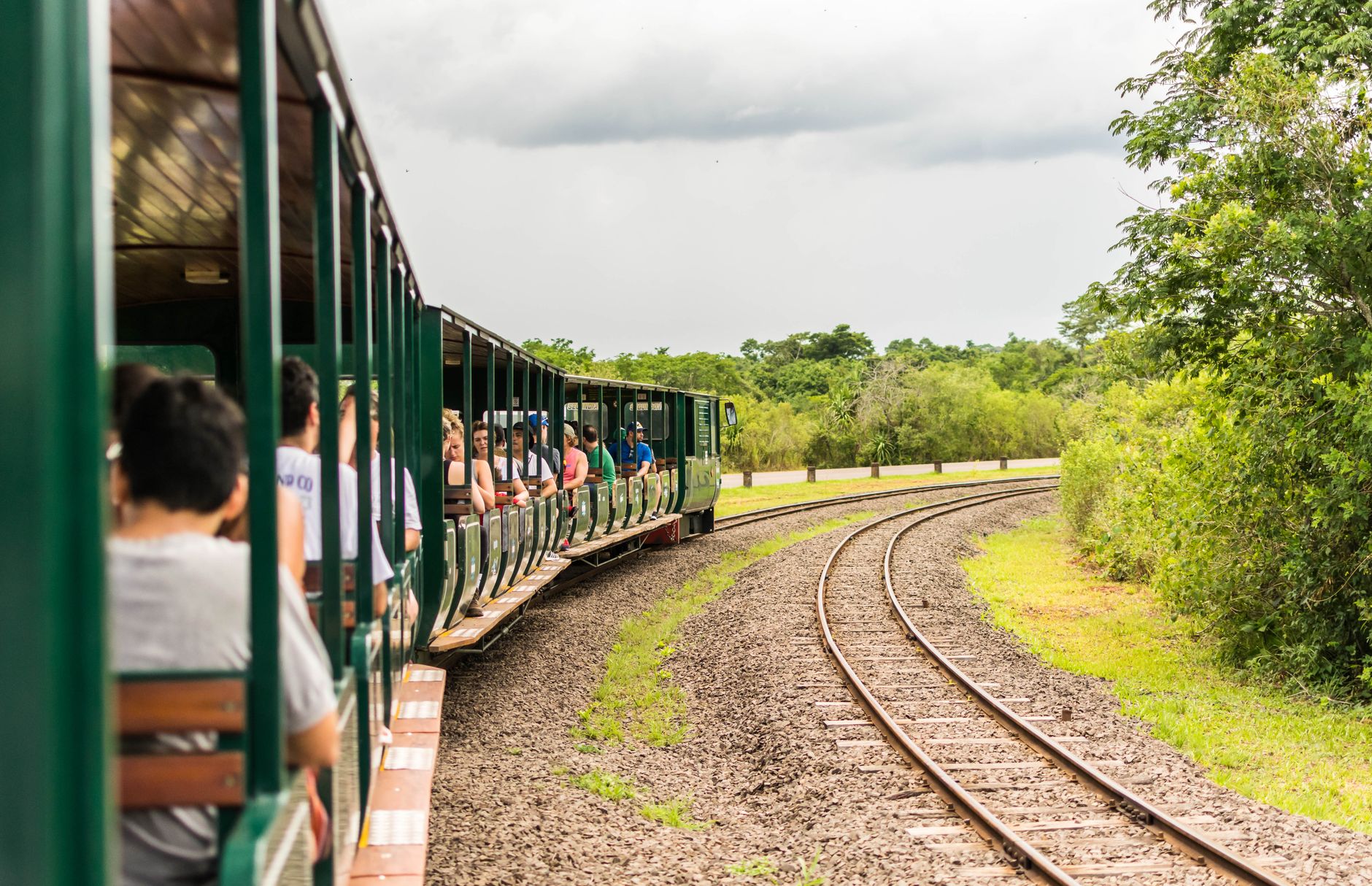
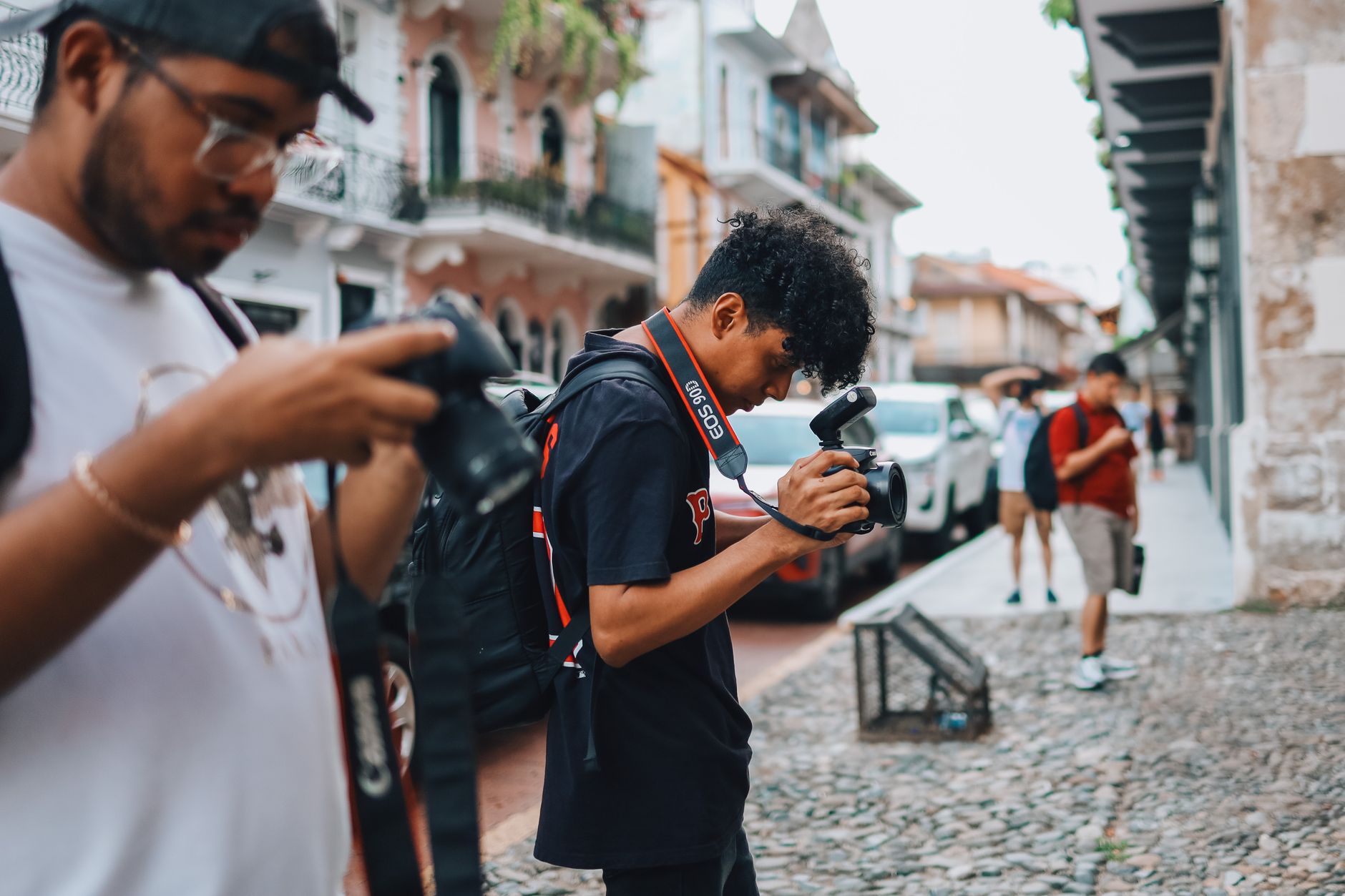
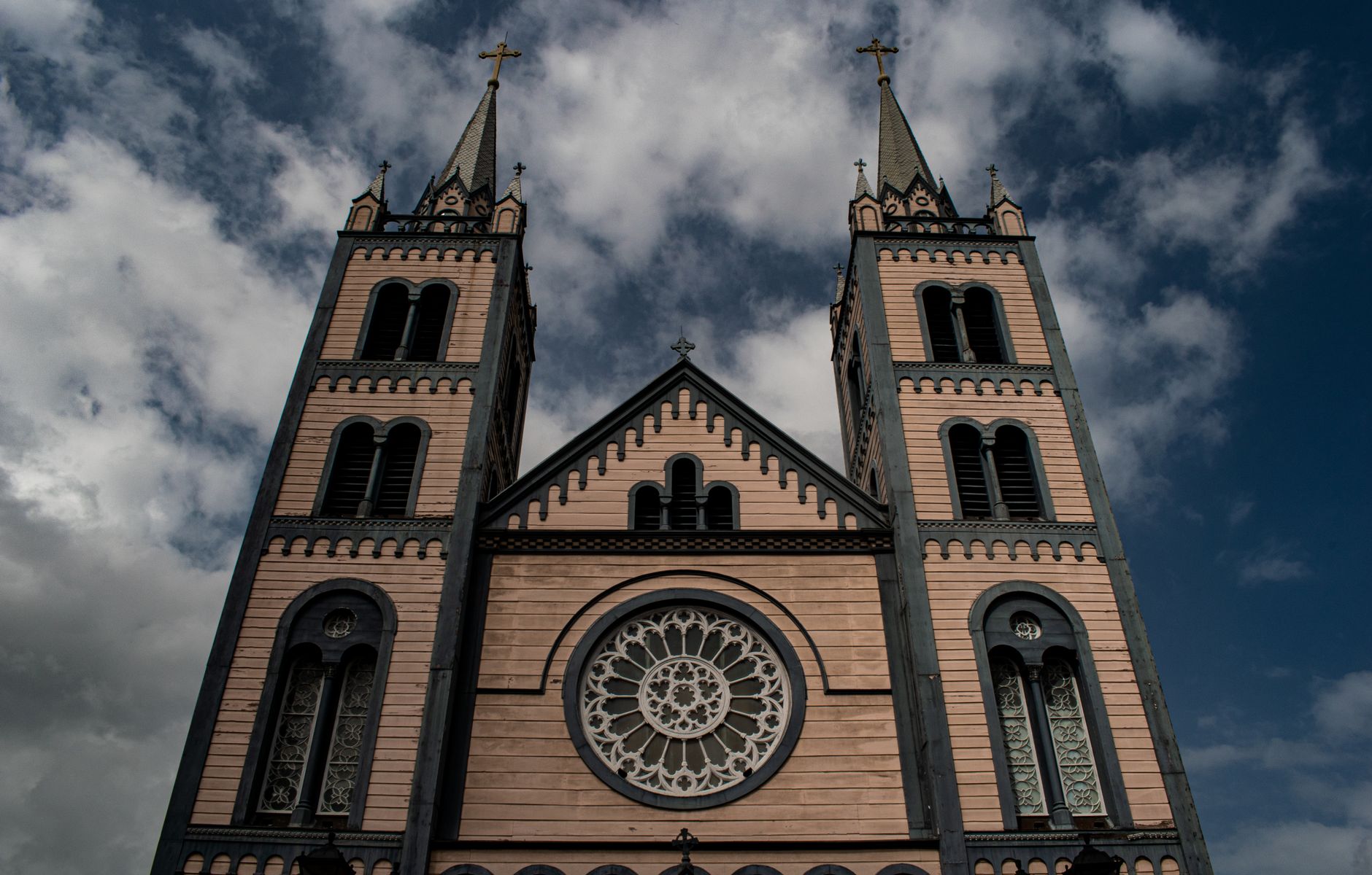
Suriname is the smallest country in South America, and also one of its least expected. The capital, Paramaribo — Par'bo to anyone who lives there — is a city of wooden colonial buildings laid out on a Dutch grid, where a synagogue from 1707 stands a short walk from a Hindu temple and a mosque, and where Independence Square fills on weekends with men coaxing competitive songs from caged whistling birds.
Inland, rivers do the work that roads can't. Dugout canoes connect villages through dense rainforest, and the interior remains largely intact. Dutch is the official language, but Sranan Tongo — a creole that grew from the country's layered history of African, Asian and European peoples — is what you'll hear on the street.
Deals in Suriname
Book directly at the provider

How Suriname came to be
Indigenous peoples were here from at least 3000 BCE. Columbus sighted the coast in 1498, but the first lasting European settlement came in 1651. The territory changed hands in one of history's more consequential trades: in 1667, the Netherlands acquired Suriname from Britain in exchange for Dutch claims to a small island called Manhattan.
The colony ran on sugar, and sugar ran on enslaved Africans. After abolition in 1863, planters brought indentured workers from Asia — a migration that permanently shaped the country's demographics. Independence came on 25 November 1975, with Johan Ferrier as first President and Henck Arron as first Prime Minister. Five years later a military coup ended that government; democratic rule was only restored in 1991.
Who and what shaped it
People who shaped it
Landmark buildings
See Suriname in motion
Plan your visit
On the map
When to go
Suriname runs hot year-round, between 26°C and 32°C, with trade winds dropping nights to around 21°C. There are two rainy seasons — a short one in December and January, and a longer one from April through July — so late August to mid-November is when you'll get the most sun and the least mud.
Right now
Background & history adapted from Wikipedia (CC BY-SA) · specs from Wikidata (CC0) · weather from Open-Meteo · map data © OpenStreetMap contributors · photos from Wikimedia Commons / Unsplash with per-image credit. No third-party reviews or social posts reproduced.