
Senegal
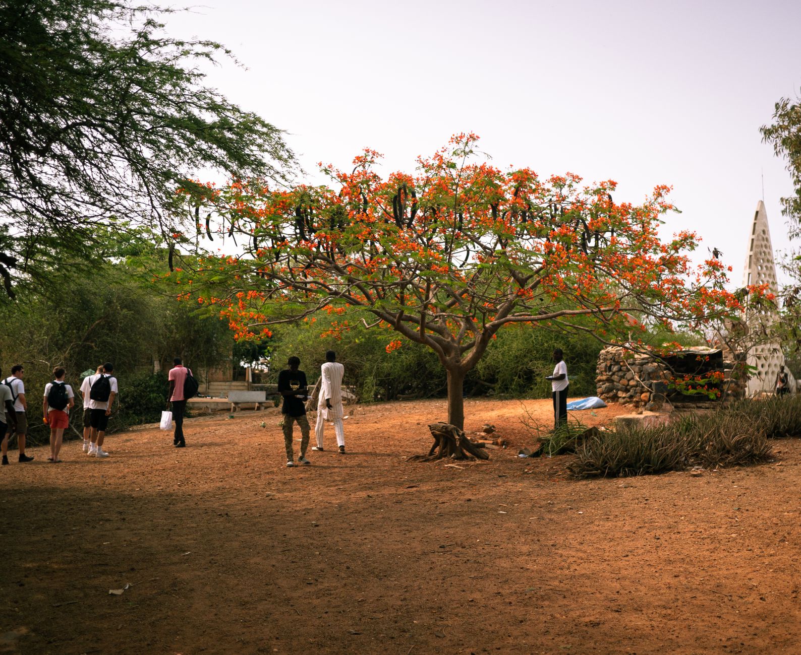
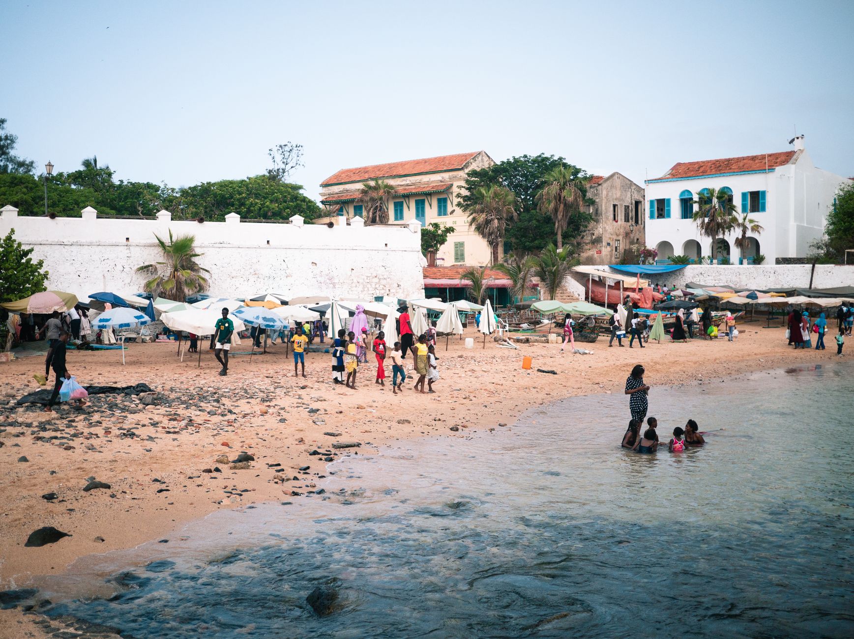
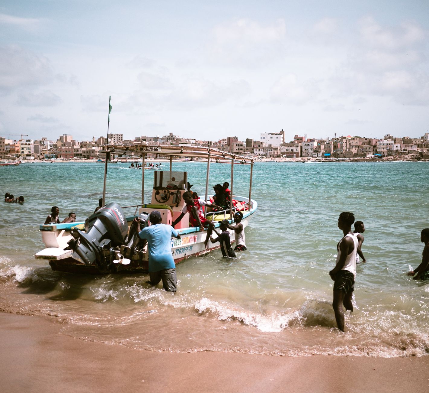
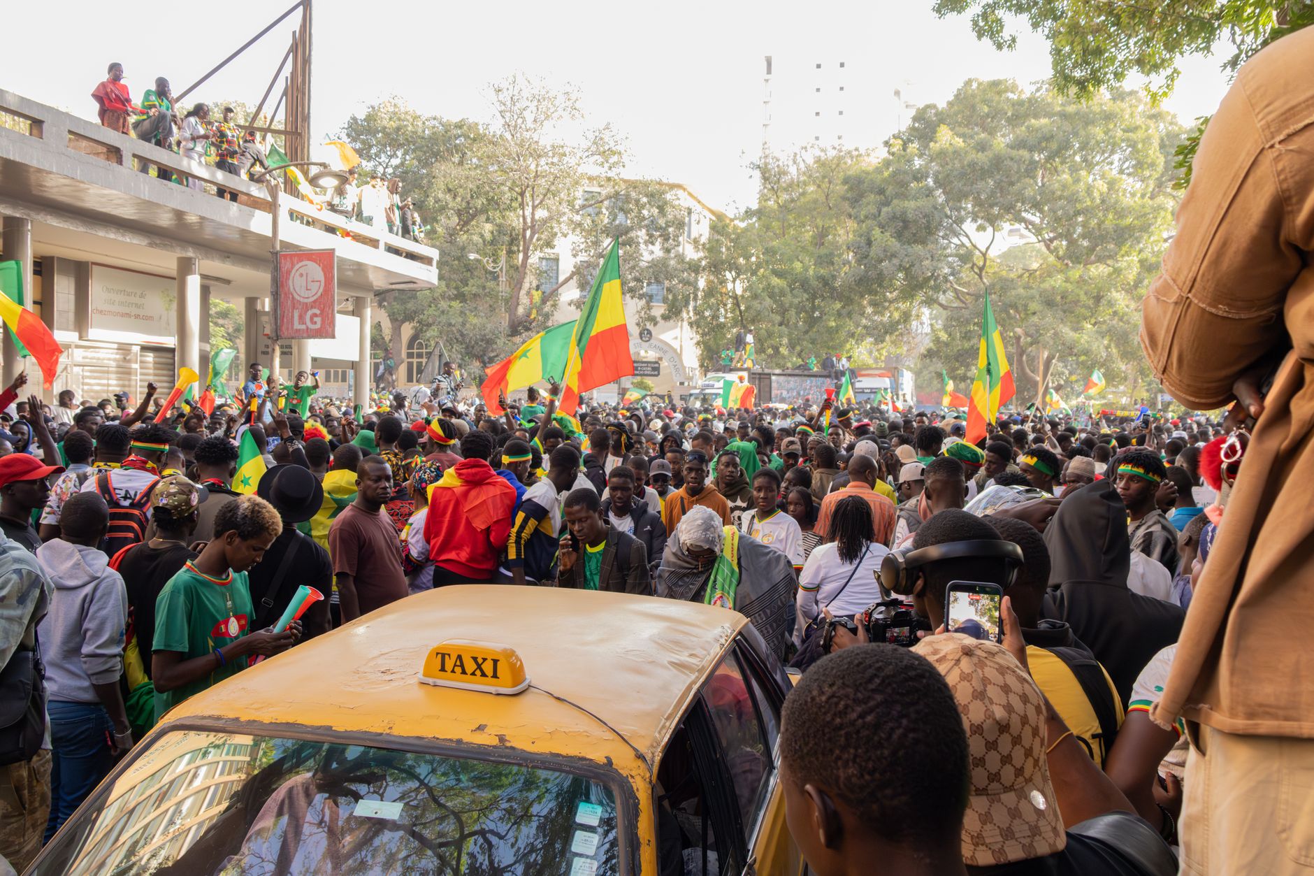
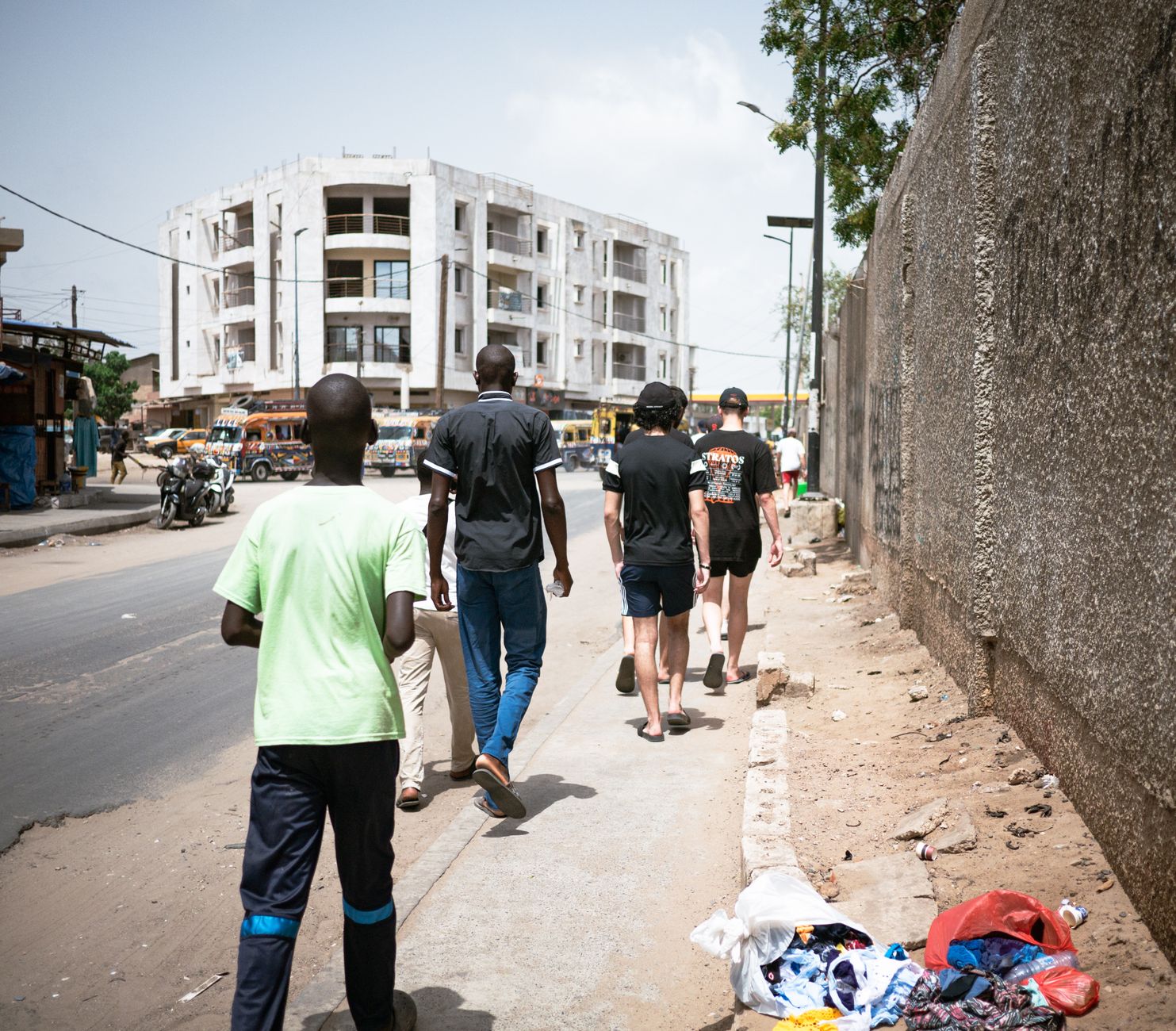
Senegal sits at the westernmost edge of the African continent, where the Atlantic hits a shoreline that has absorbed five centuries of arrivals — Portuguese navigators, French traders, Dutch colonists, and the ships that carried enslaved people across an ocean. That weight is still present, most acutely on Gorée Island, where the House of Slaves stands a short ferry ride from Dakar. But Senegal is also a country of stone circles older than the Middle Ages, a 49.5-metre bronze monument on a volcanic hill, and a first president who wrote his own nation's anthem by hand.
Dakar is the entry point for most visitors, a dense Atlantic city with a lighthouse built in 1864 that can throw light 56 miles out to sea. From here you can reach the Senegambian stone circles to the south, the colonial streets of Saint-Louis to the north, and a great deal in between.
Deals in Senegal
Book directly at the provider


How Senegal came to be
Portuguese navigators reached Cape Verde around 1444 and established trading posts along the coast, on Gorée Island, and at the mouth of the Sénégal River. The French rebuilt a factory at that river mouth in 1659 on an island called N'Dar — the settlement that became Saint-Louis — and took Gorée from the Dutch in 1677. Before any of them arrived, the Jolof kingdom had risen between 1150 and 1350 under the legendary Njajan Njay, eventually fracturing in the 16th century into the competing Wolof states of Walo, Kajor, Baol, Sine, and Salum.
France declared Senegal a republic on November 15, 1958, and full independence followed on August 20, 1960, when the National Assembly voted to withdraw from the short-lived Mali Federation. Léopold Sédar Senghor became the country's first president that September — a poet and philosopher who personally drafted the national anthem. In March 2024, Bassirou Diomaye Faye won the presidential election, becoming the youngest president in Senegal's history.
Who and what shaped it
People who shaped it
Landmark buildings
See Senegal in motion
Plan your visit
On the map
When to go
The dry season (November to May) brings cooler temperatures and low humidity — the most straightforward time to travel. From July to September the rains arrive in earnest, making some roads difficult and the heat more pressing, though the landscape turns noticeably greener.
Background & history adapted from Wikipedia (CC BY-SA) · specs from Wikidata (CC0) · weather from Open-Meteo · map data © OpenStreetMap contributors · photos from Wikimedia Commons / Unsplash with per-image credit. No third-party reviews or social posts reproduced.