
Malawi
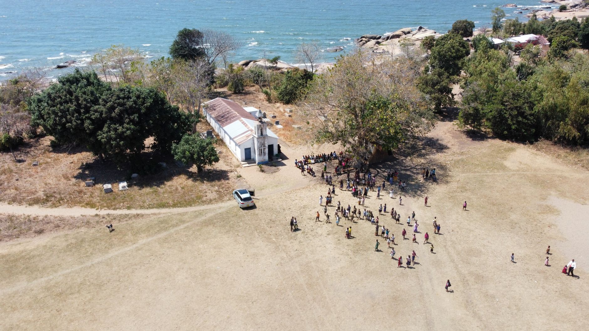
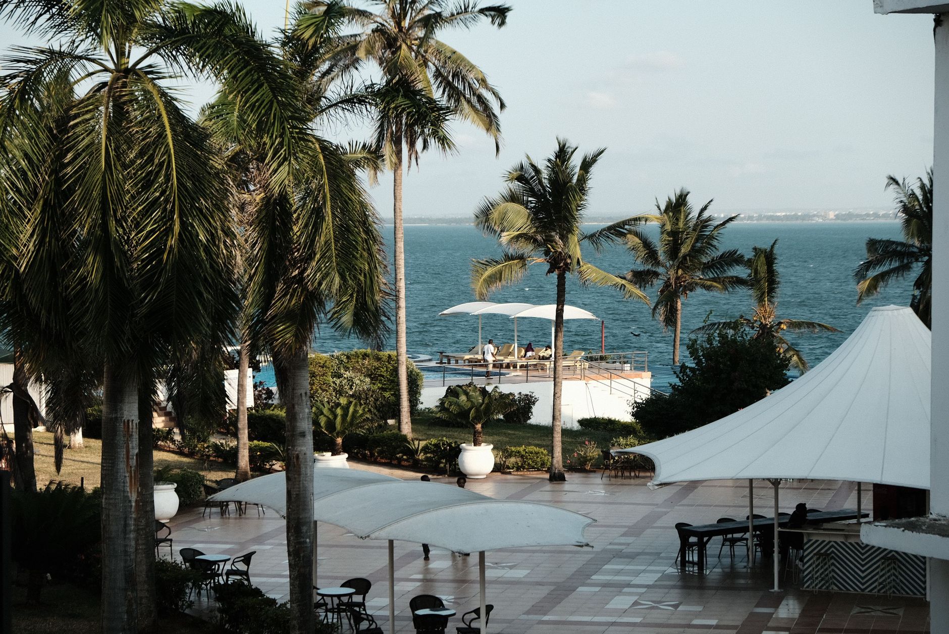
Malawi is defined, above almost anything else, by its lake. Lake Malawi runs the length of the country's eastern flank — a body of fresh water so vast it has its own weather systems, its own fishing culture, its own horizon. Away from the shore, the land climbs through miombo woodland and plateau grassland to Nyika in the north, where Burchell's zebra move through rolling hills alongside endemic orchids and butterflies. The country is small enough to cross in a day but layered enough to hold you far longer.
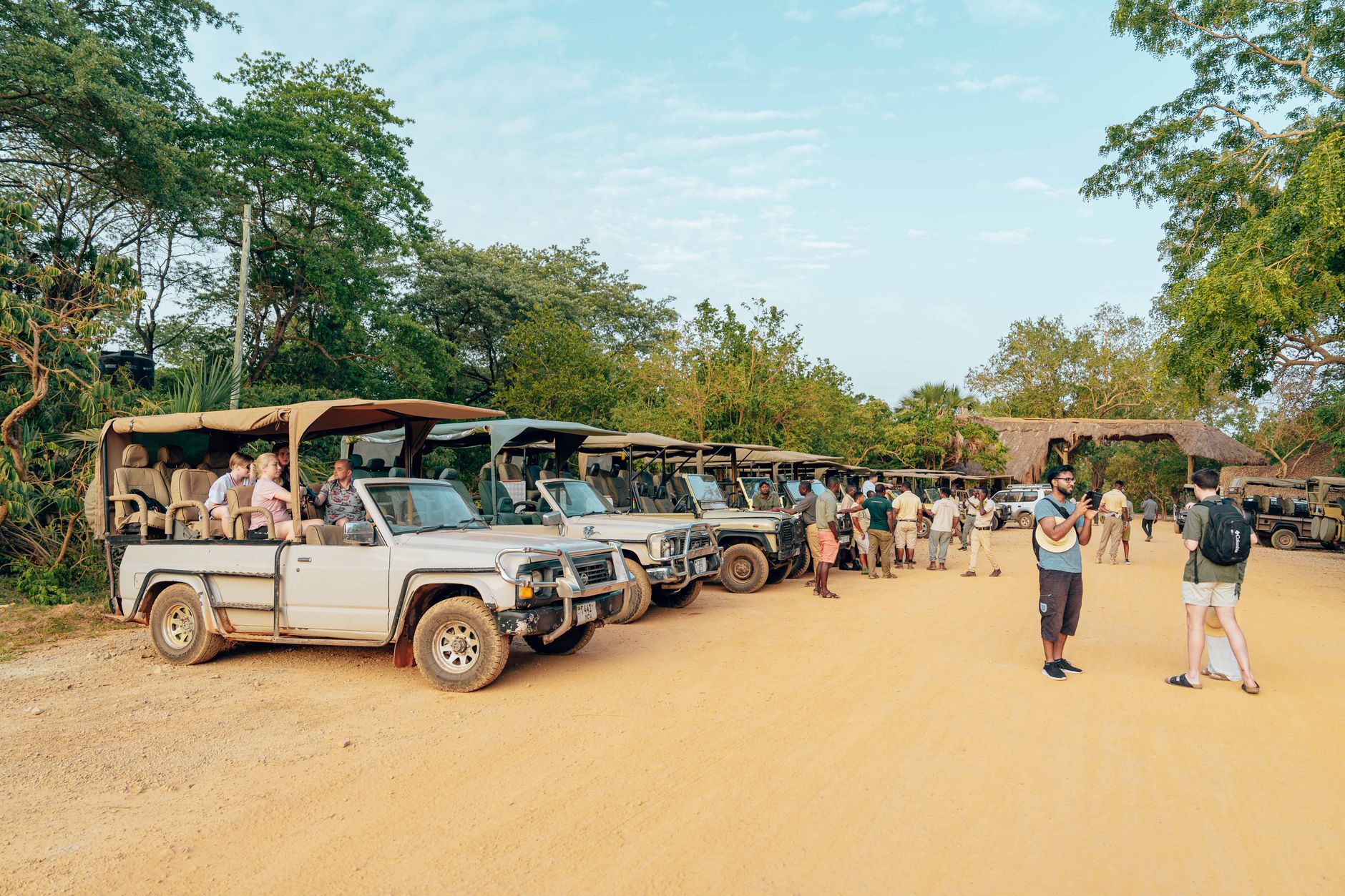
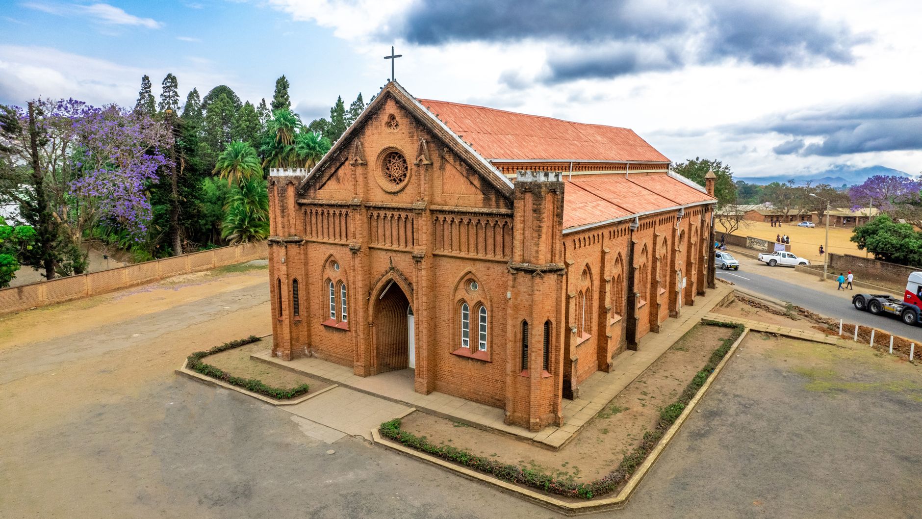
Liwonde National Park in the south is where most wildlife encounters happen — elephants at the river's edge, hippos surfacing at dusk. On Likoma Island, an Anglican cathedral built in 1911 and reportedly the size of Winchester Cathedral rises from a lakeshore village. Malawi doesn't announce itself loudly; it accumulates.
Deals in Malawi
Book directly at the provider
How Malawi came to be
People have lived in what is now Malawi for more than 50,000 years. Bantu communities settled around the 10th century, and by the 17th century the Maravi Empire administered a wide sweep of territory stretching to the Mozambique coast and west to the Luangwa River — a name that still echoes in the country's own. British colonial control arrived in 1891 as the British Central African Protectorate, renamed Nyasaland in 1907.
Independence came on July 6, 1964, and the country's first president, Hastings Kamuzu Banda — a doctor who had spent decades abroad before returning in 1958 to lead the nationalist movement — chose the name Malawi. Banda ruled for thirty years, eventually as president for life, before a 1993 referendum forced a return to multiparty democracy. The first free elections, held in 1994, ended his presidency. He is buried in a marble and granite mausoleum in Lilongwe.
Who and what shaped it
People who shaped it
Landmark buildings
See Malawi in motion
Plan your visit
On the map
When to go
The dry season runs May through October — cooler and clear, with May temperatures averaging around 16°C and the landscape at its most accessible. The wet season, November through April, brings heavy rains that can close some roads and parks but turn the plateau and woodland a deep, saturated green.
Right now
Background & history adapted from Wikipedia (CC BY-SA) · specs from Wikidata (CC0) · weather from Open-Meteo · map data © OpenStreetMap contributors · photos from Wikimedia Commons / Unsplash with per-image credit. No third-party reviews or social posts reproduced.