
Zimbabwe
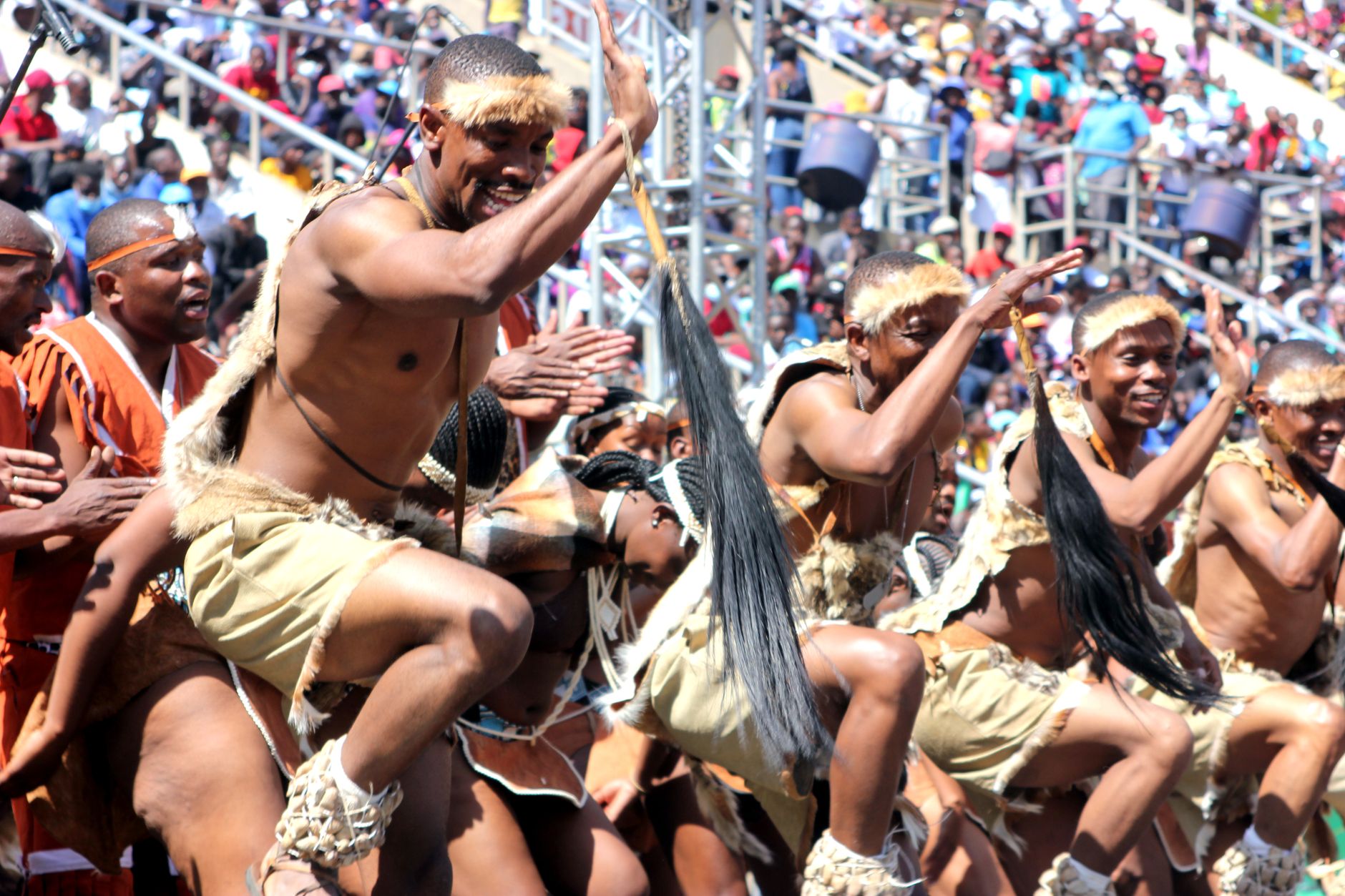



The name Zimbabwe comes from the stone city — dzimba dza mabwe, 'houses of stone' in Shona — and that lineage runs through everything here. A medieval trading capital once sheltered 18,000 people behind dry-stone walls that needed no mortar, and those walls are still standing. This is a country that carries its own deep past before any colonial chapter begins.
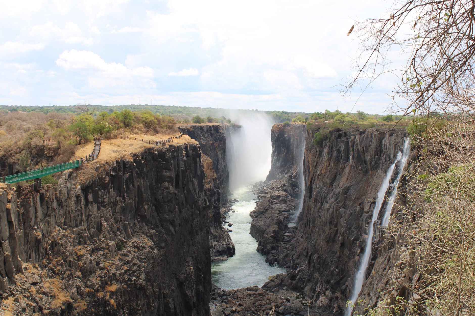
The landscape shifts from the spray-soaked gorge at Victoria Falls to the granite boulder stacks of the Matobo Hills to the highveld plateau where Harare sits. Getting oriented takes time, and that's the point — Zimbabwe rewards travellers who slow down enough to follow one thread at a time.
Deals in Zimbabwe
Book directly at the provider

How Zimbabwe came to be
The stone walls at Great Zimbabwe began rising in the 1200s, anchoring a Shona trading empire that at its peak covered 78 hectares and housed roughly 18,000 people. Later, the Khami settlement carried that Shona tradition forward into the 15th century. European contact came through missionaries and commercial interests: Scottish missionary David Livingstone reached the Zambezi falls in 1855 and named them Victoria Falls. By the 1880s Cecil Rhodes' British South Africa Company was pushing north, and the territory eventually became Southern Rhodesia.
In 1965 the white-minority government declared unilateral independence as Rhodesia — a declaration that won almost no international recognition and sparked the Rhodesian Bush War. The Lancaster House Agreement of 1979 opened the way for majority-rule elections; Robert Mugabe's ZANU (PF) won clearly, and on 18 April 1980 Zimbabwe became an independent nation.
Who and what shaped it
People who shaped it
Landmark buildings
See Zimbabwe in motion
Plan your visit
On the map
When to go
Zimbabwe's dry season runs roughly May to October — cool mornings, clear skies, and the best game-viewing as vegetation thins out. The wet season from November to April brings lush green landscapes and, at Victoria Falls, the highest water volumes, though heavy spray can obscure the view of the falls themselves.
Right now
↡ Regions
Background & history adapted from Wikipedia (CC BY-SA) · specs from Wikidata (CC0) · weather from Open-Meteo · map data © OpenStreetMap contributors · photos from Wikimedia Commons / Unsplash with per-image credit. No third-party reviews or social posts reproduced.