
North America





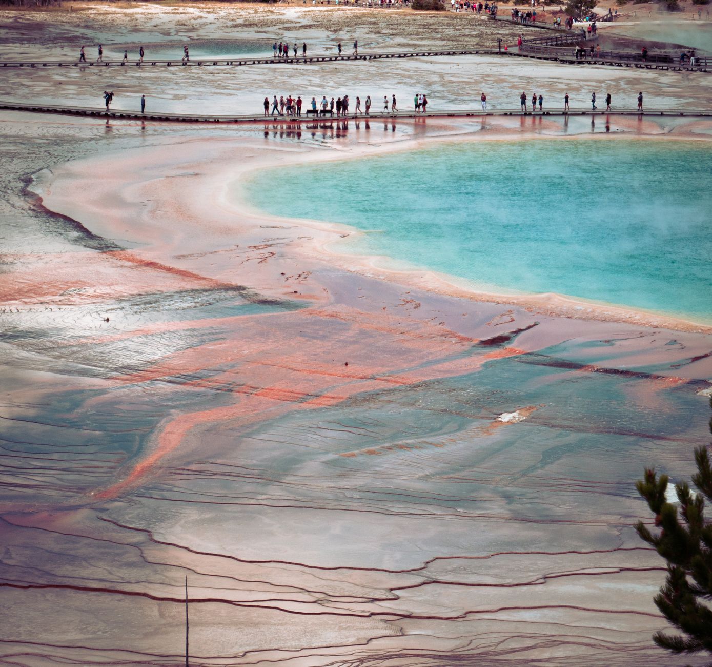
Somewhere in New Mexico, preserved in ancient lakebed sediment, are the footprints of children who walked these lands around 22,000 years ago. That's a useful place to start with North America — not at its airports or its skylines, but at the sheer depth of human time written into its ground. The continent stretches from Arctic ice to tropical rainforest, from the eroded red walls of the Grand Canyon to the fog-threaded towers of the Pacific coast, held together less by geography than by the fact of its enormous, restless variety.
It is the third-largest continent on Earth, and it resists summary. The Canadian Shield in the north sits on rock nearly 3.66 billion years old. The Great Lakes, carved by retreating glaciers around 10,000 years ago, hold a fifth of the world's surface fresh water. Whatever you think North America is, it's also something else entirely.
Popular countries in North America
How North America came to be
The rock underlying the Canadian Shield began forming roughly 1.8 billion years ago, making North America one of the oldest stable landmasses on Earth. The Atlantic Ocean started pulling the continent westward around 200 million years ago as Pangaea broke apart. The Isthmus of Panama stitched North and South America together somewhere between 12 and 15 million years ago, reshaping ocean currents and species migration across the hemisphere.
Humans arrived at least 23,000 years ago — possibly earlier — spreading rapidly through both continents as glaciers receded. The first confirmed European settlement came around 980–1030 CE, when Leif Erikson established a camp at L'Anse aux Meadows in present-day Newfoundland, centuries before sustained European contact transformed every part of the continent. Over 600 Indigenous tribes are officially recognized in Canada alone, and more than 560 in the United States, representing cultures shaped by ten distinct geographic and ecological zones.
Who and what shaped it
People who shaped it
Landmark buildings
Plan your visit
On the map
When to go
Canada, Greenland, and most of the United States follow four distinct seasons, with winters in the far north reaching average January temperatures around -20°F and summers in the Southwest settling into bright, dry heat in the 70s and 80s. The southern tier — Mexico, Central America, the Caribbean, and the Gulf Coast — runs on a wet season (May to October) and a dry season (November to April) rather than temperature swings, and the Pacific coast from San Diego southward receives less than 10 inches of rain a year.
Right now
↡ Countries









↡ Regions











No places match these filters.
Background & history adapted from Wikipedia (CC BY-SA) · specs from Wikidata (CC0) · weather from Open-Meteo · map data © OpenStreetMap contributors · photos from Wikimedia Commons / Unsplash with per-image credit. No third-party reviews or social posts reproduced.