
Yellowstone National Park, USA


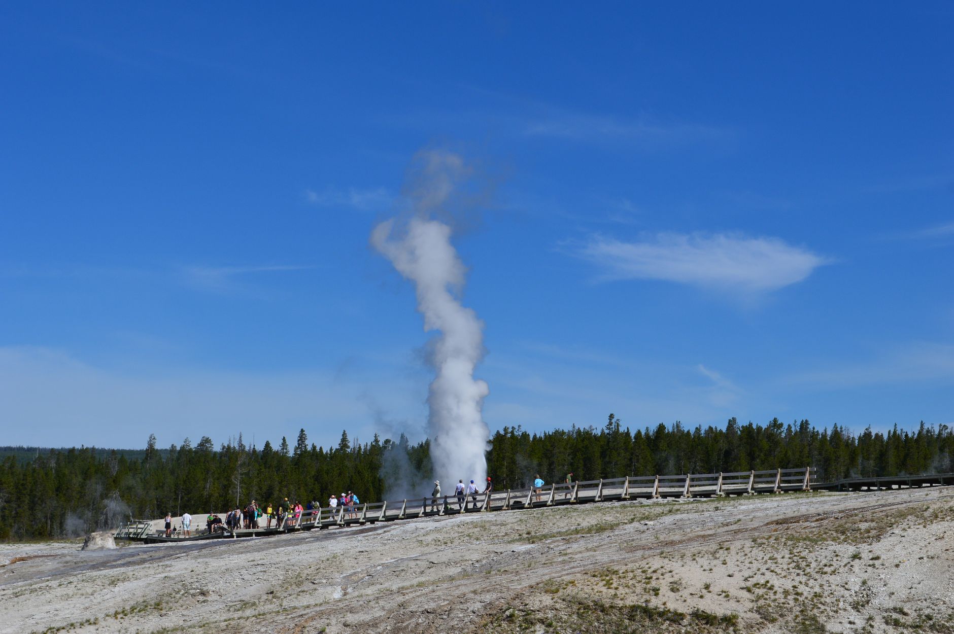

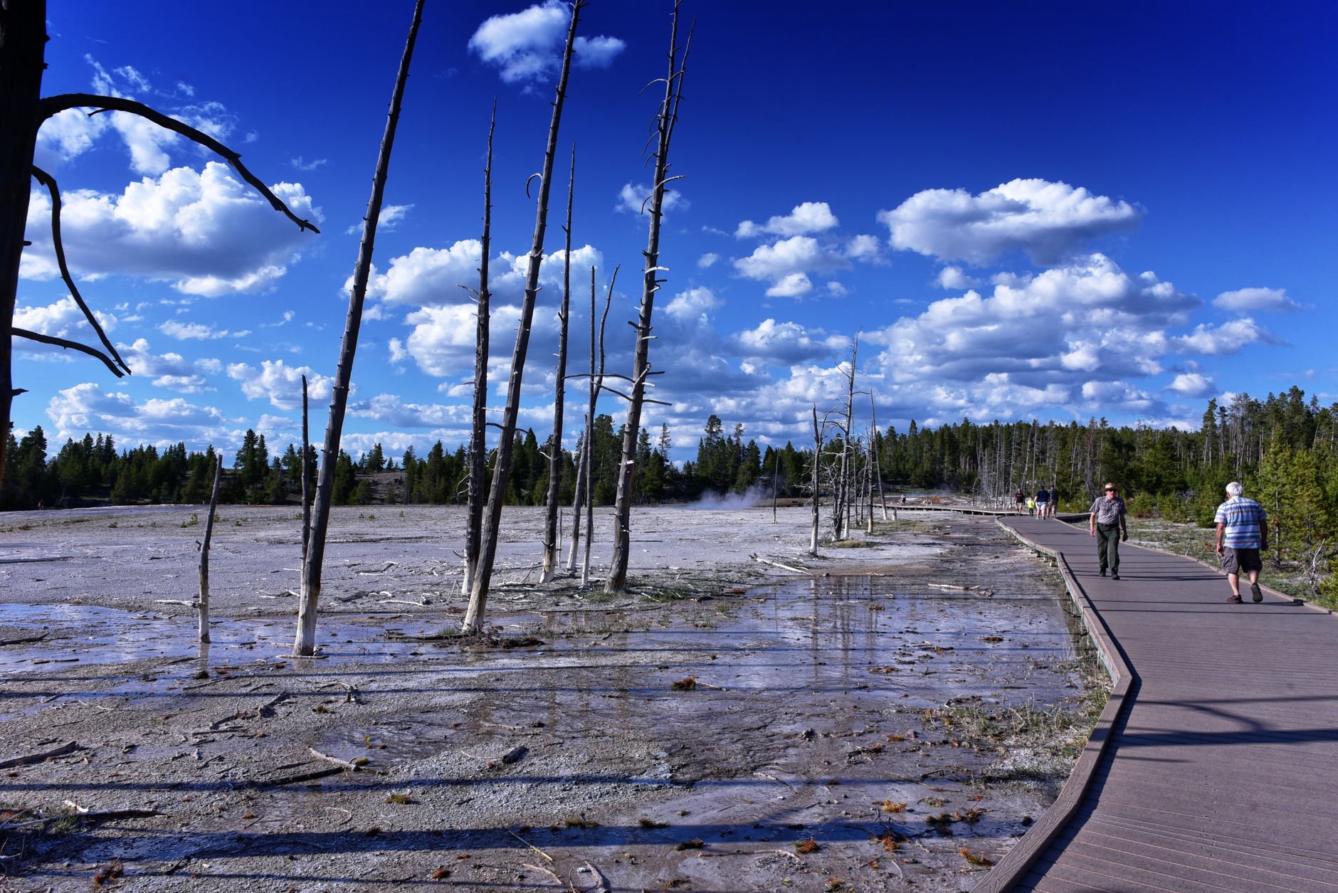
Roughly half the world's geothermal features sit inside one park in Wyoming. Yellowstone's 10,000 hot springs, geysers, mudpots, and fumaroles are the surface expression of a supervolcano still very much alive beneath the plateau. Old Faithful erupts on roughly a ninety-minute cycle; Grand Prismatic Spring — 330 feet across — rings itself in colors produced by heat-loving microorganisms, not pigment. The Grand Canyon of the Yellowstone drops 1,200 feet in places, cut by a river that has been working at the rock for thousands of years.
Yellowstone also holds one of North America's most intact large-mammal ecosystems. Bison still move across the Lamar Valley in numbers that stop traffic on the road. Wolves, reintroduced in 1995, are most reliably spotted at dawn in that same valley. The park covers more than two million acres, which means the crowds at Old Faithful and the solitude of a backcountry thermal basin can coexist within the same afternoon.
💛 What travellers fall for
People who keep coming back tend to anchor themselves in the Lamar Valley at first light — thermos in hand, engine off — and treat the geysers as an afternoon affair rather than the main event. The Norris Geyser Basin rewards a slow walk; Steamboat Geyser, the tallest active geyser on earth, erupts unpredictably, which means the basin never feels like a performance.
How Yellowstone National Park, USA came to be
On March 1, 1872, President Ulysses S. Grant signed the act establishing Yellowstone as the world's first national park — setting aside land not for settlement or extraction but for public use and preservation. Native peoples had been here for more than 10,000 years before that designation, hunting, fishing, quarrying obsidian from Obsidian Cliff, and using the thermal waters for religious and medicinal purposes.
The decisive push for federal protection came from the 1871 Hayden Expedition, a 34-man survey led by geologist Ferdinand V. Hayden that included painter Thomas Moran and photographer William Henry Jackson. Their visual records — Moran's large-format canvases, Jackson's photographs — made the landscape legible to a Congress that had never seen it. The U.S. Army managed the park from 1886, when poaching and vandalism had overwhelmed early efforts at protection, until the National Park Service took over in 1916.
Who and what shaped it
People who shaped it
Landmark buildings
See Yellowstone National Park, USA in motion
Plan your visit
On the map
When to go
Summers (June–August) are warm at lower elevations and cool at night, with afternoon thunderstorms common; the park is at high elevation throughout, so temperatures drop fast after dark regardless of the season. Spring and fall bring thin crowds and unpredictable snow; most roads and facilities close from November through April, with the park accessible in winter only by snowcoach or snowmobile on designated routes.
Right now
Background & history adapted from Wikipedia (CC BY-SA) · specs from Wikidata (CC0) · weather from Open-Meteo · map data © OpenStreetMap contributors · photos from Wikimedia Commons / Unsplash with per-image credit. No third-party reviews or social posts reproduced.