
Honduras
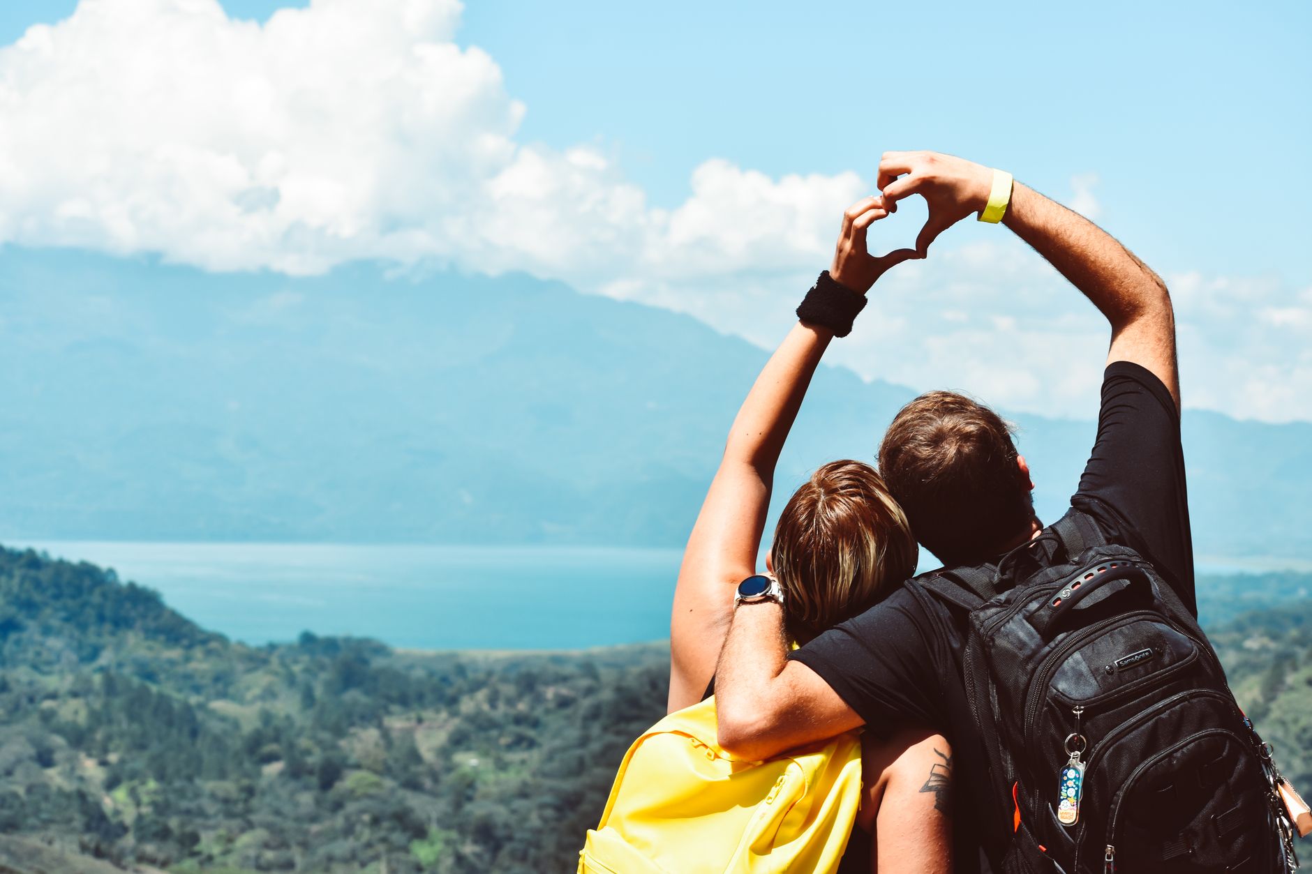
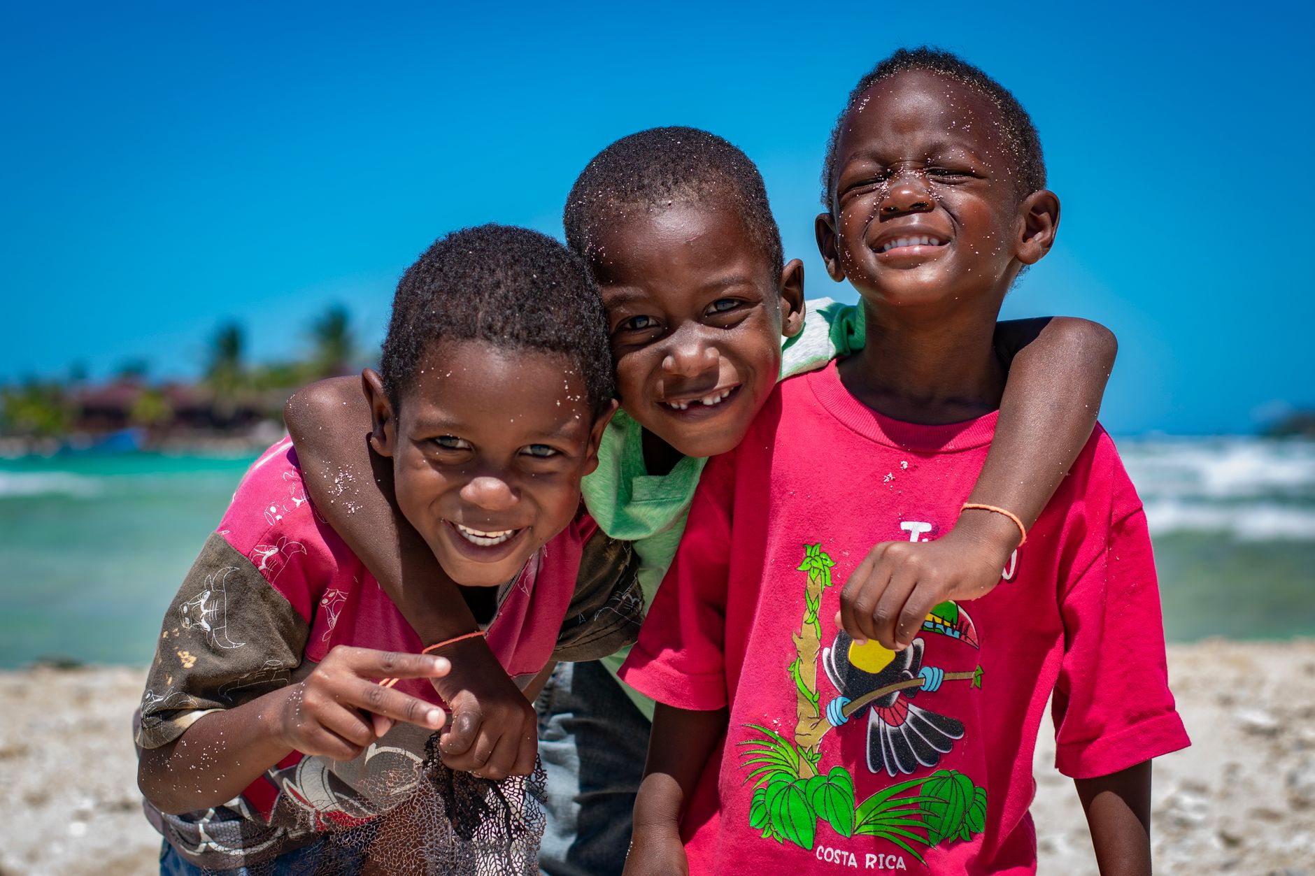
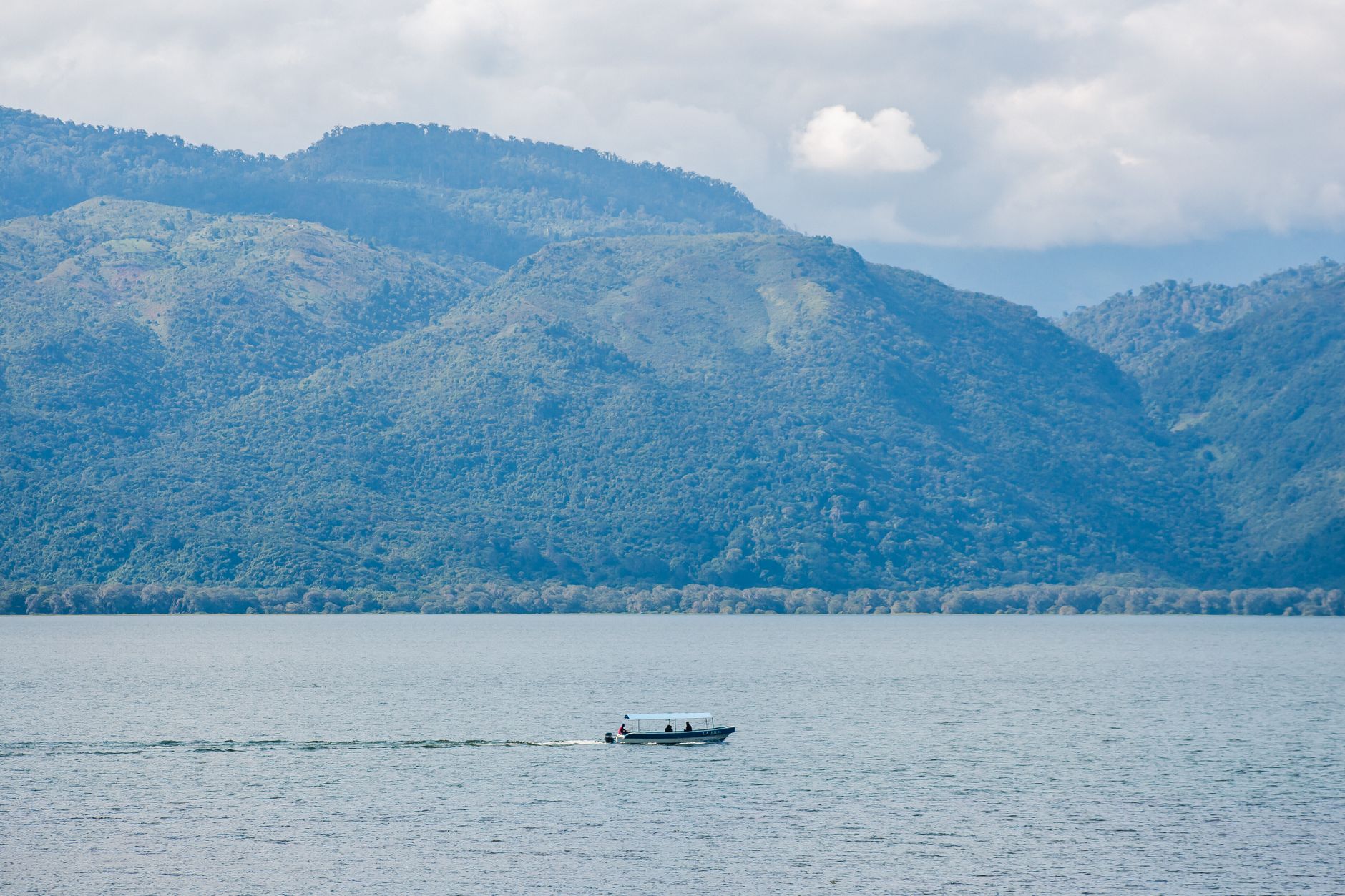
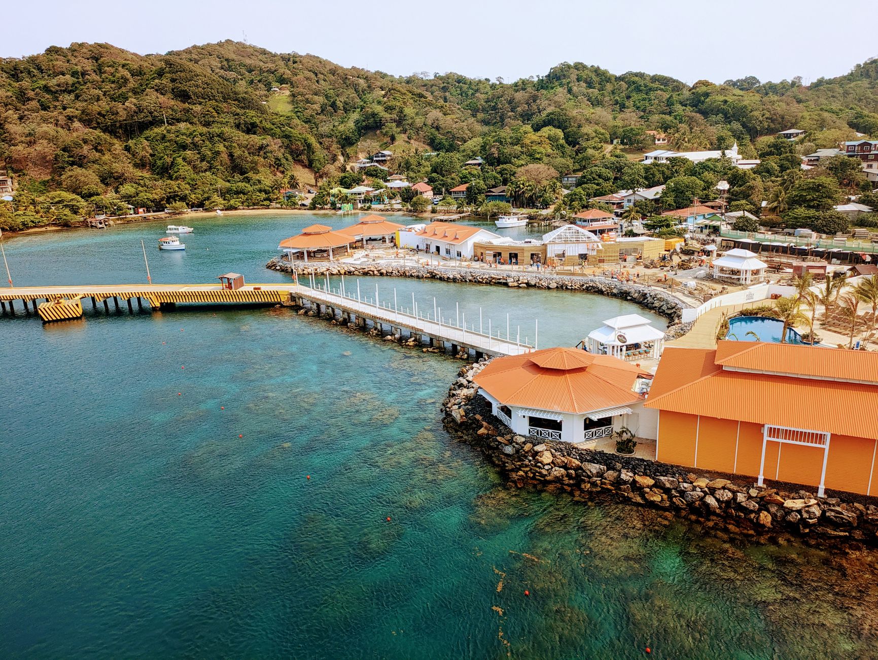

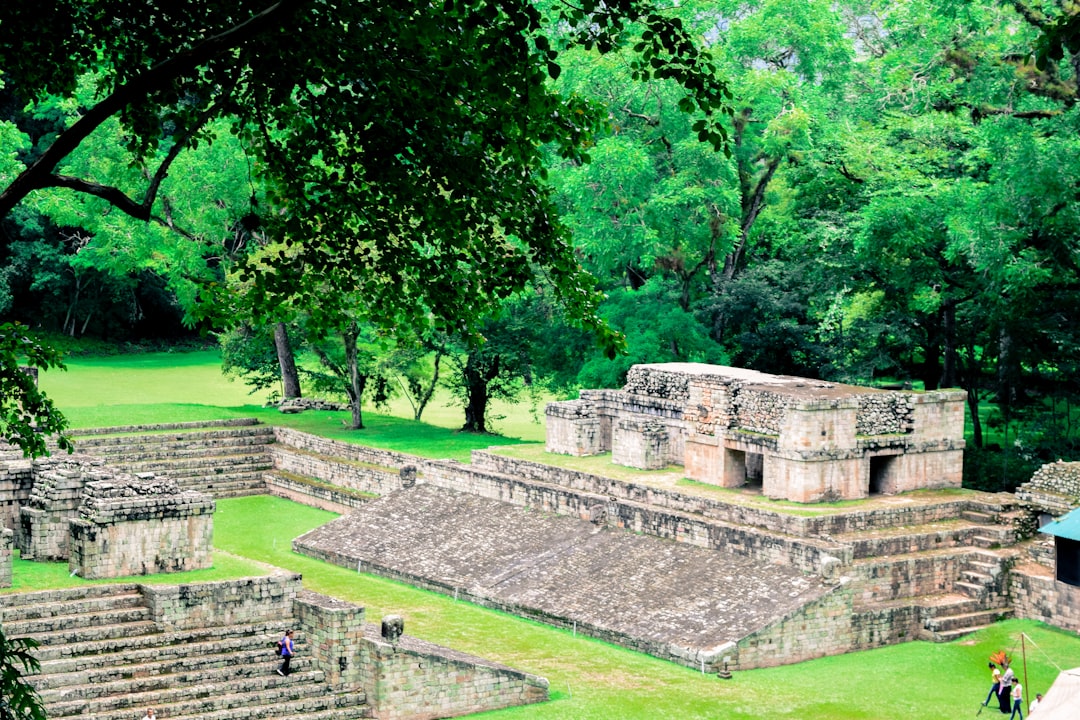
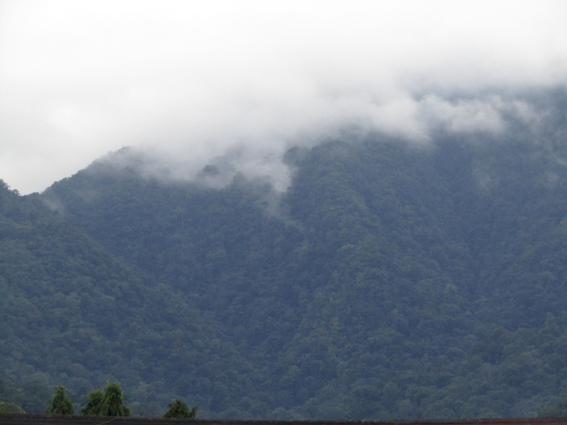
Honduras holds one of the Maya world's great intellectual cities — Copán, founded in A.D. 426 — and a Caribbean coastline, cloud-forested mountains, and a capital that sits at a thousand metres above sea level where April afternoons can reach 31°C and December nights drop to a cool 10. The country runs from hot lowland coasts up through temperate hillsides to genuinely cold peaks, which means the Honduras you experience depends almost entirely on your altitude.
The western ruins, the colonial streets of Comayagua, the fortresses along the north coast, the cathedral in Tegucigalpa built between 1765 and 1782 — this is a country whose layers reward a slow read rather than a quick scan.
Deals in Honduras
Book directly at the provider

How Honduras came to be
Christopher Columbus reached the island of Guanaja on July 30, 1502 — the first European contact with Honduran soil. A colony followed at Trujillo in 1525, and Tegucigalpa was founded in 1578 as a mining settlement. Honduras declared independence from Spain on September 15, 1821, briefly joined independent Mexico, then became part of the Central American federation in 1823. That federation collapsed in 1838 and Honduras emerged as a separate republic.
Long before any of this, the Maya had built Copán into one of the ancient world's significant city-states, flourishing between the fifth and ninth centuries CE before its decline around A.D. 800. The former colonial capital, Comayagua, governed for over three hundred years until the Liberals moved power to Tegucigalpa in 1880 — a relocation that, by halting Comayagua's growth, accidentally preserved its colonial streetscape intact.
Who and what shaped it
People who shaped it
Landmark buildings
See Honduras in motion
Plan your visit
On the map
When to go
The capital sits at around 1,000 metres, keeping temperatures moderate — warm afternoons year-round, with cool nights in the dry season from December to March. Coastal and lowland areas run hotter and more humid; mountain zones can be genuinely cold.
Right now
↡ Regions
No places match these filters.
Background & history adapted from Wikipedia (CC BY-SA) · specs from Wikidata (CC0) · weather from Open-Meteo · map data © OpenStreetMap contributors · photos from Wikimedia Commons / Unsplash with per-image credit. No third-party reviews or social posts reproduced.