
Celaque National Park
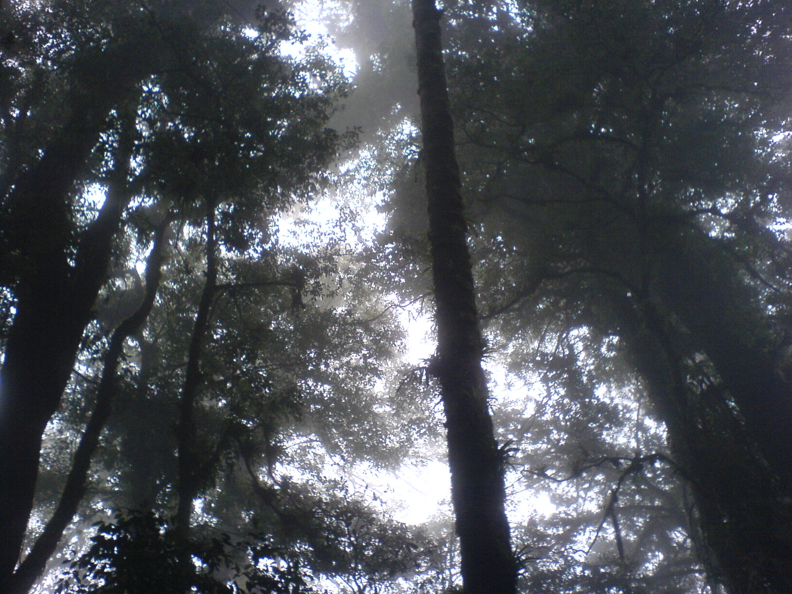
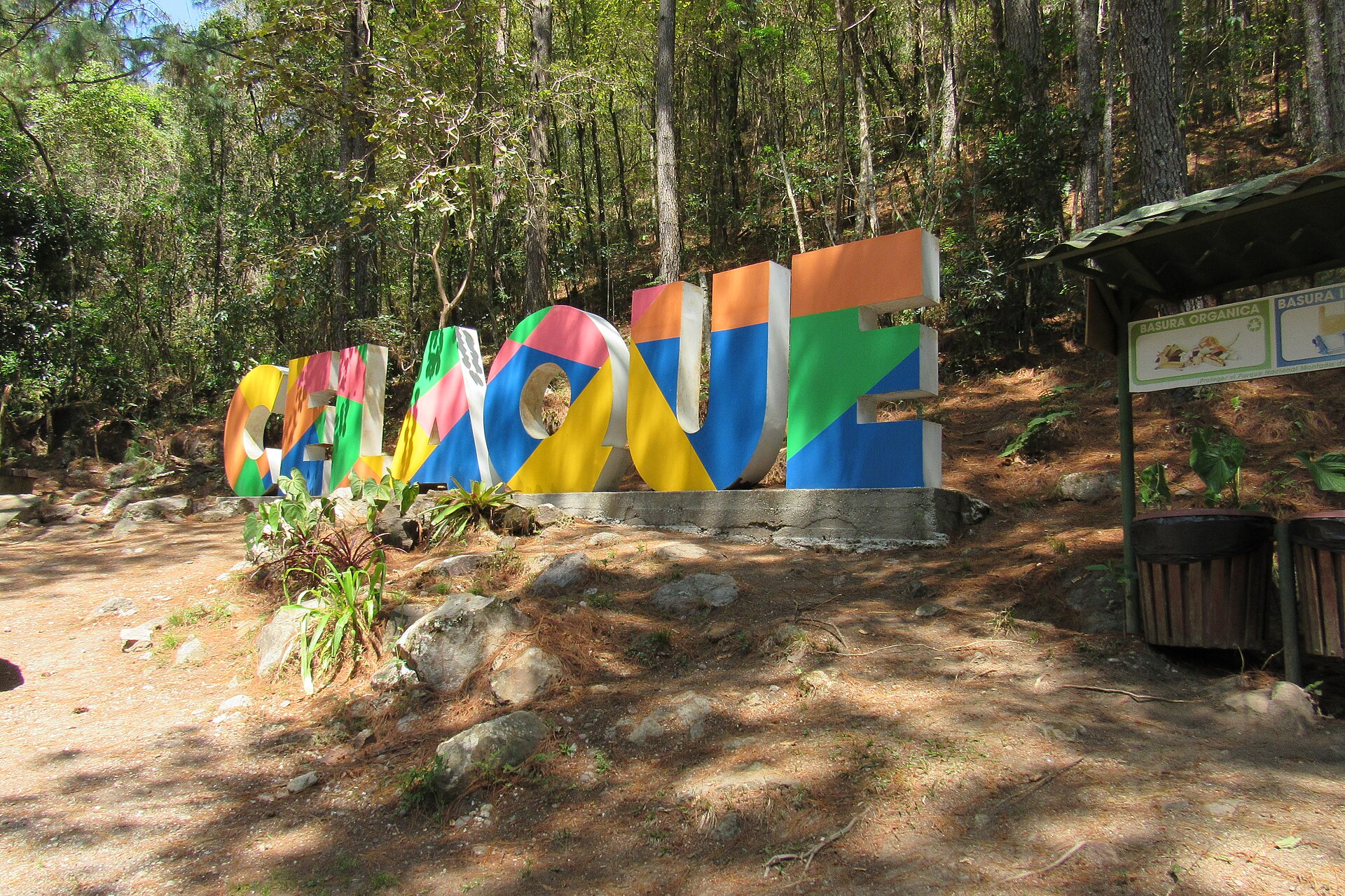
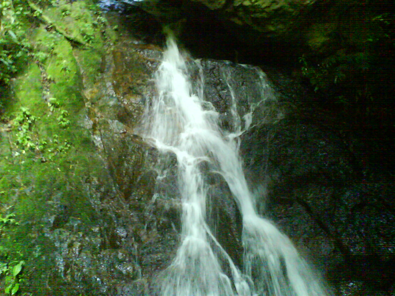
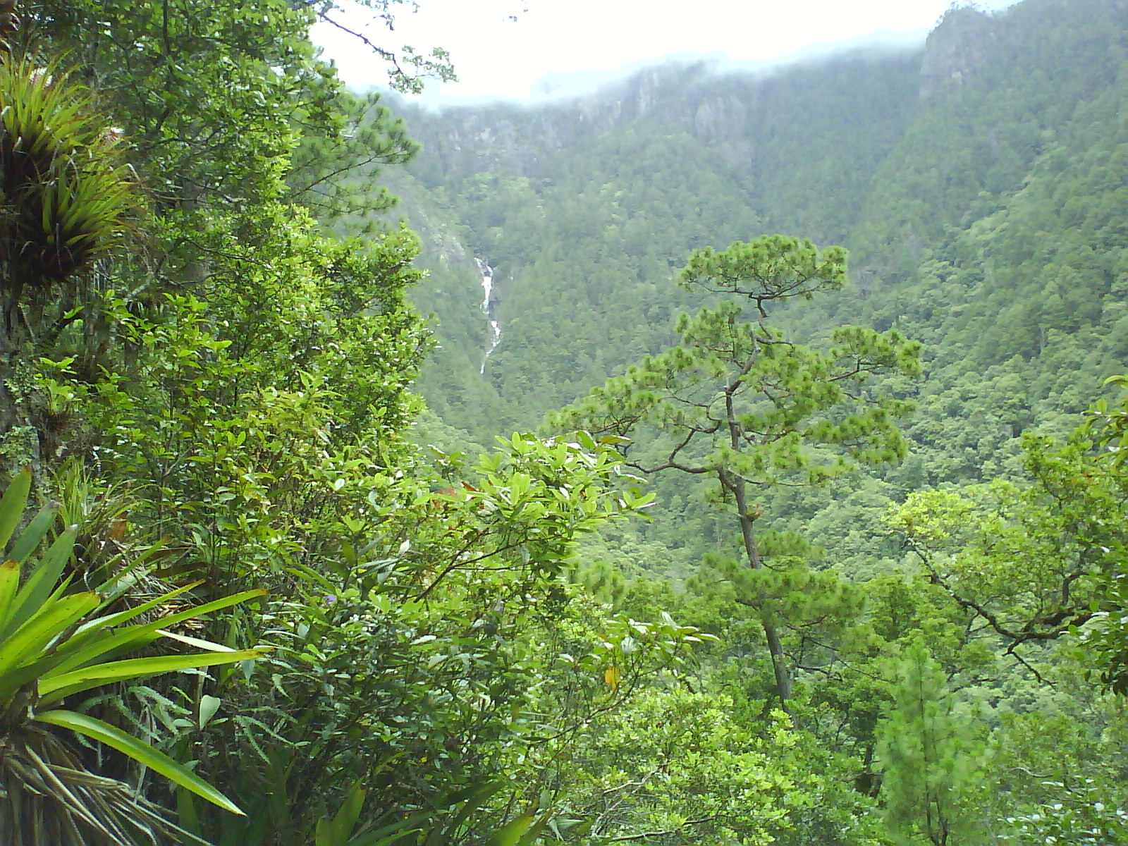
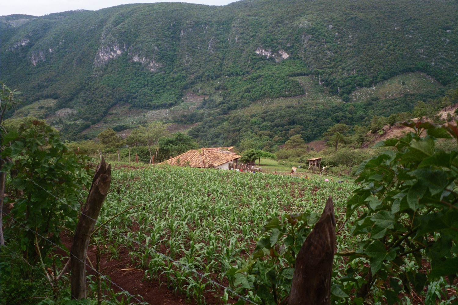
The name says it plainly: Celaque means 'box of water' in the old Lenca tongue, and the mountain earns it. Nine rivers are born here, threading down to supply 120 villages below, including the colonial town of Gracias. At 2,870 metres, Cerro Las Minas is the highest point in Honduras, and the cloud forest that clings to its upper slopes is the kind of place where every surface — bark, branch, boulder — is upholstered in moss and orchid.
Two-thirds of the park's terrain tilts at more than sixty degrees, which tells you something about the trails. This is not a gentle walk-in-the-woods. Pumas and ocelots move through the fog, and the Bolitoglossa celaque, a small plethodontid salamander found nowhere else on earth, lives somewhere in the wet dark under the leaf litter.
💛 What travellers fall for
People who come back tend to say the same thing: do the Cerro Las Minas summit as an overnight, not a day trip. The Don Tomas camp gives you a first night on the mountain; El Naranjito, closer to the top and equipped with water, sets you up for an early push. The fog usually clears in the hours just after dawn.
How Celaque National Park came to be
For most of the 1970s, the Honduran Forestry Development Corporation ran intensive logging operations through Celaque's peaks, stripping the forest and cutting off resources that communities in the surrounding valleys had depended on for generations. The people of La Campa organised in response — a grassroots effort that, over years of pressure, reached the National Congress of Honduras. On 5 August 1987, Celaque was declared a national park.
The Lenca people had been bound to this landscape long before that. Their chief, Cacique Lempira, is believed to have used these same rugged ridges as a base for armed resistance against Spanish colonial forces in the 1530s — a history the mountains hold quietly, without a plaque.
Who and what shaped it
People who shaped it
Landmark buildings
See Celaque National Park in motion
Plan your visit
On the map
When to go
November through April is the window to aim for: rainfall drops, trails are less treacherous, and river crossings stay manageable. From May to October, heavy rains can turn steep paths into slides and close in the views entirely. Whatever the season, nights on the mountain fall to 10–15°C, so pack a warm layer even if the valley felt warm when you left.
Right now
Background & history adapted from Wikipedia (CC BY-SA) · specs from Wikidata (CC0) · weather from Open-Meteo · map data © OpenStreetMap contributors · photos from Wikimedia Commons / Unsplash with per-image credit. No third-party reviews or social posts reproduced.