
Micronesia


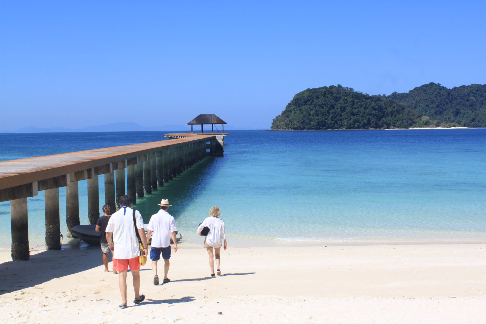
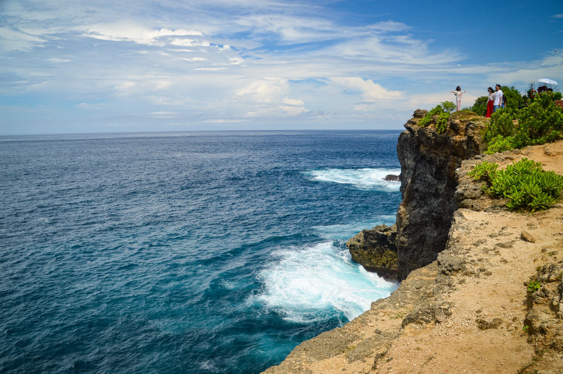
Micronesia is not one island but four states scattered across the western Pacific — Yap, Chuuk, Pohnpei, and Kosrae — each distinct enough to feel like a different country. The easiest way in is United Airlines' Island Hopper, a slow arc of flights connecting Guam to Honolulu with stops at each state in between. Most visitors land on Pohnpei, the political capital, where taxis run anywhere in Kolonia for a dollar and the roadside kava markets open in the evening.
The scale here rewards patience. Nan Madol, an ancient city built on artificial islets in a lagoon, sits a short boat ride from Kolonia. Sokehs Rock rises from the island like a dark fist. Pohnpei receives around five thousand millimetres of rain a year — one of the wettest places on earth — and the forest shows it.
💛 What travellers fall for
People who come back tend to split their time differently on return: Chuuk for the WWII wreck diving, Kosrae for the quiet. Bring more cash than you think you need — credit cards are unreliable outside main hotels, and there are no ATMs at the airports. The dollar taxi in Kolonia is not a rumour; it is simply how it works.
Deals in Micronesia
Book directly at the provider


How Micronesia came to be
Austronesian settlers reached these islands more than four thousand years ago, and the ruins at Nan Madol — a ceremonial city of basalt and coral built over a lagoon — stand as evidence of what complex society looked like here long before any European arrived. Spain, Germany, and Japan each administered the islands in succession, leaving traces: a Spanish wall in Kolonia built in 1889, a Catholic mission bell tower destroyed by Japanese forces during the Second World War.
After 1945 the islands passed to a US-administered UN trusteeship. Tosiwo Nakayama, who had served as President of the Congress of Micronesia, became the first President of the Federated States when its constitution was ratified on 10 May 1979. Full independence under the Compact of Free Association with the United States followed on 3 November 1986; the UN formally ended trusteeship status in 1990.
Who and what shaped it
People who shaped it
Landmark buildings
See Micronesia in motion
Plan your visit
On the map
When to go
The temperature barely moves year-round — days in the low thirties Celsius, nights in the mid-twenties — but rainfall varies enormously by season and island. February through April is the driest window across most of the FSM; the typhoon season runs roughly August through November, and Pohnpei can be wet in any month.
Right now
Background & history adapted from Wikipedia (CC BY-SA) · specs from Wikidata (CC0) · weather from Open-Meteo · map data © OpenStreetMap contributors · photos from Wikimedia Commons / Unsplash with per-image credit. No third-party reviews or social posts reproduced.