
Bolivia
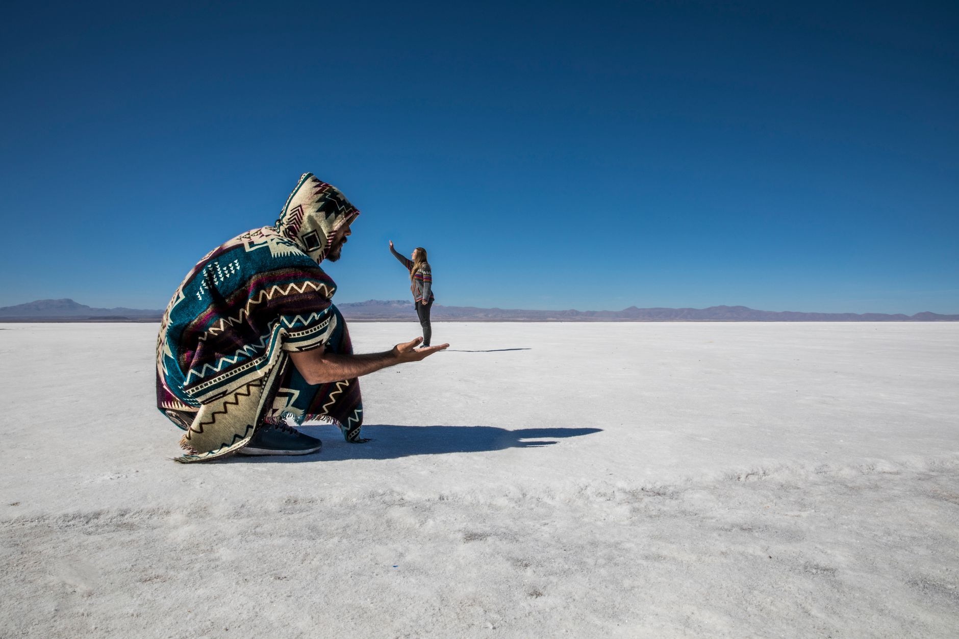
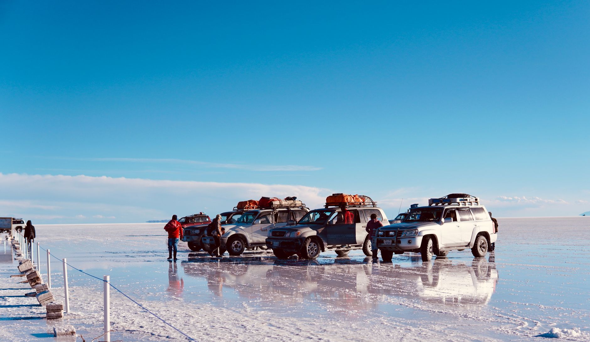
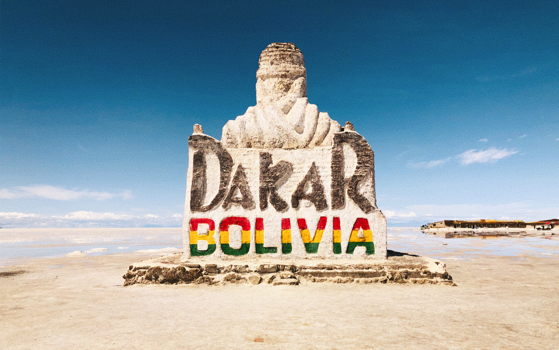
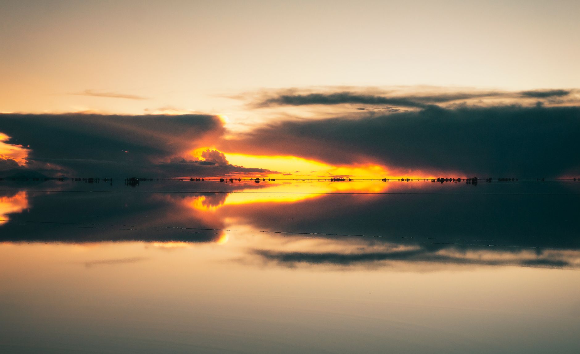
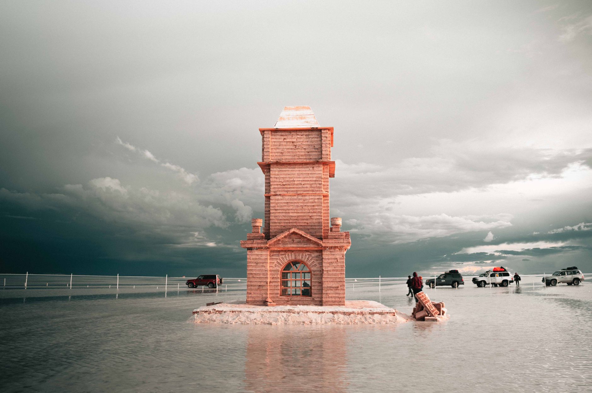
Bolivia sits at the roof of South America, with the Altiplano stretching across its west at altitudes that make the air thin and the light sharp. The Salar de Uyuni — formed by the disappearance of an ancient inland ocean — covers more than 10,000 square kilometres of white salt crust, and in the wet season a shallow film of water turns it into a mirror so flat it doubles the sky.
The country is one of the continent's most affordable, and its geography runs from Andean highlands to Amazon lowland in a single country. Two weeks is the realistic minimum to move between its layers properly.
💛 What travellers fall for
People who come back tend to agree on a few things: take the El Alto cable car (the Teleférico) on your first afternoon in La Paz before you've adjusted to the altitude — the city from the air makes sense of what's otherwise disorienting on the ground. And book the three-day 4WD tour from Uyuni rather than the day trip; the coloured lakes and geysers are a long way from the salt flats.
Experiences you don't want to miss



Deals in Bolivia
Book directly at the provider
How Bolivia came to be
Long before the Spanish arrived, the Tiwanaku people built a city of around 2.3 square kilometres on the Altiplano — temples, monuments, public buildings — that stood as the capital of an empire from roughly 400 AD to 1000 AD. The Inca absorbed the region in the 15th and 16th centuries, and the Spanish, led by Francisco Pizarro, conquered the Inca shortly after. The territory became known as Upper Peru and in 1776 was transferred to the Viceroyalty of Río de la Plata.
Independence came after more than fifteen years of conflict. Antonio José de Sucre defeated the royalist army at the Battle of Ayacucho on December 9, 1824, and presented the Act of Independence to a congress in Chuquisaca — now called Sucre — the following year. On August 6, 1825, the constitutional congress declared the country independent and named it in honour of Simón Bolívar.
Who and what shaped it
People who shaped it
Landmark buildings
See Bolivia in motion
Plan your visit
On the map
When to go
The dry season from May to October is the most straightforward time to visit — clear skies, good trekking conditions, and accessible salt flats. November to April brings heavy rain to the lowlands and, on the Salar de Uyuni, the thin layer of water that creates the famous mirror effect; if that's your reason for coming, December to February is the window. The highlands and Altiplano stay cold year-round, particularly at night, when temperatures drop well below freezing in winter.
Right now
Background & history adapted from Wikipedia (CC BY-SA) · specs from Wikidata (CC0) · weather from Open-Meteo · map data © OpenStreetMap contributors · photos from Wikimedia Commons / Unsplash with per-image credit. No third-party reviews or social posts reproduced.