
Nauru

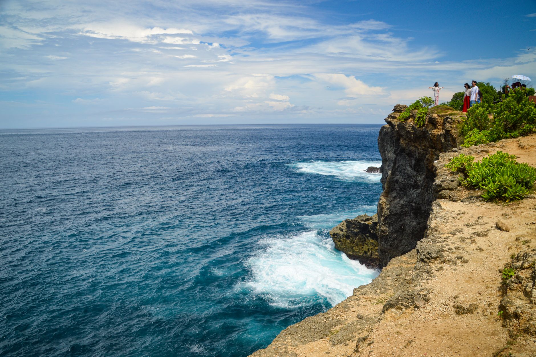



Nauru is a single raised coral island in the central Pacific, eight kilometres across at its widest point, ringed by a 19-kilometre road you can cycle in a morning. What you notice first is the contrast: a narrow coastal strip of coconut palms and houses, then a sharp rise to the interior plateau — the Topside — where phosphate mining has left a moonscape of jagged limestone pinnacles stretching to the horizon.
This is one of the most remote and least-visited countries on earth, and it wears that fact plainly. There are no resorts, no tourist infrastructure to speak of, and the island's story — of sudden extraordinary wealth, environmental ruin, and the long work of recovery — is written directly into the landscape.
Deals in Nauru
Book directly at the provider


How Nauru came to be
Polynesian and Micronesian settlers arrived roughly 3,000 years ago, forming twelve clans whose descendants still identify by clan today. British whaling captain John Fearn made first European contact in 1798, naming the place Pleasant Island. Germany annexed it in 1888, and the discovery of phosphate in 1907 set in motion the transformation that defines modern Nauru — by independence in 1968, more than 35 million metric tons of the island's interior had been shipped abroad as fertiliser.
Nauru became the world's smallest independent republic on 31 January 1968, under founding president Hammer DeRoburt. By 1975 the Phosphate Royalties Trust exceeded A$1 billion, briefly giving Nauruans one of the highest per-capita incomes on earth. The phosphate ran out. In 1989 Nauru sued Australia at the International Court of Justice over the environmental damage; Australia settled in 1994 for A$57 million plus further payments over twenty years.
Who and what shaped it
People who shaped it
Landmark buildings
See Nauru in motion
Plan your visit
On the map
When to go
Nauru sits just south of the equator and is warm year-round, with temperatures hovering around 28–30°C. The wetter season runs roughly November through February, bringing heavy squalls; the drier months from March to October are the more comfortable time to visit, though brief downpours can arrive at any time of year.
Right now
Background & history adapted from Wikipedia (CC BY-SA) · specs from Wikidata (CC0) · weather from Open-Meteo · map data © OpenStreetMap contributors · photos from Wikimedia Commons / Unsplash with per-image credit. No third-party reviews or social posts reproduced.