
Namibia
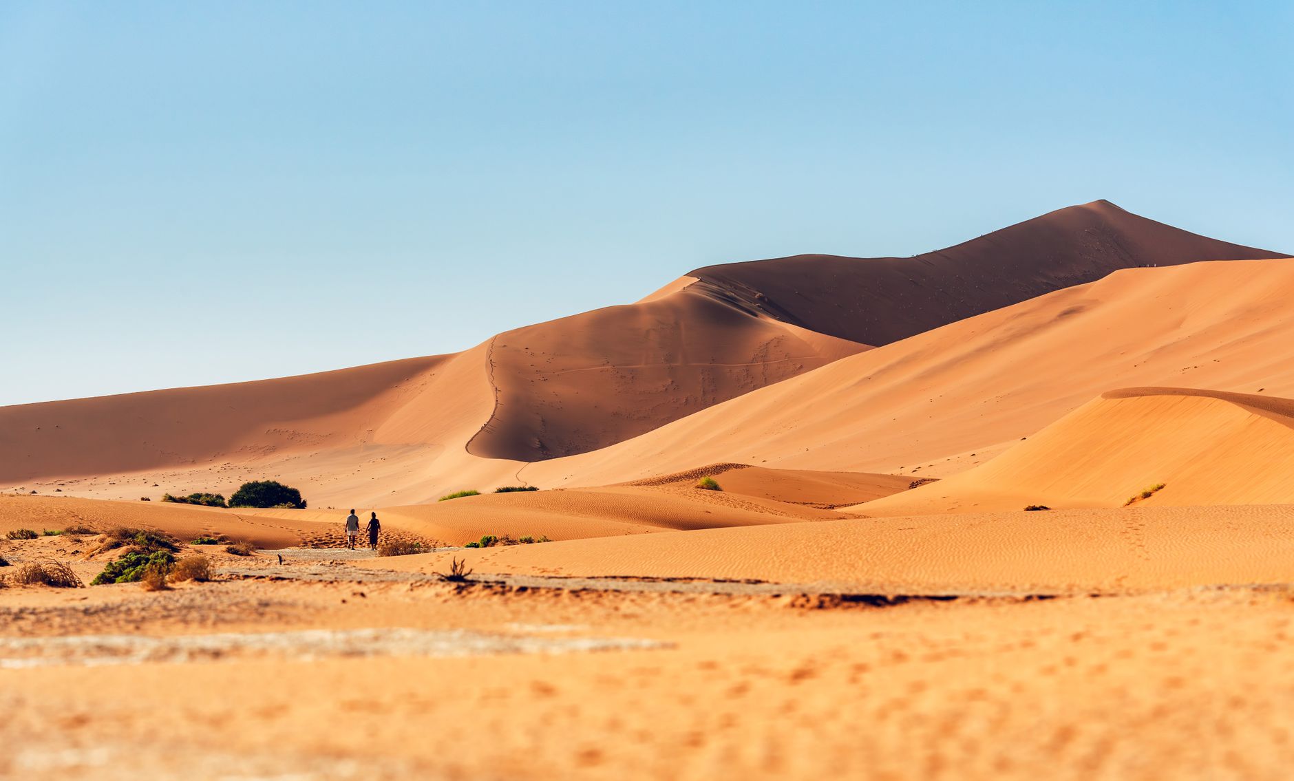
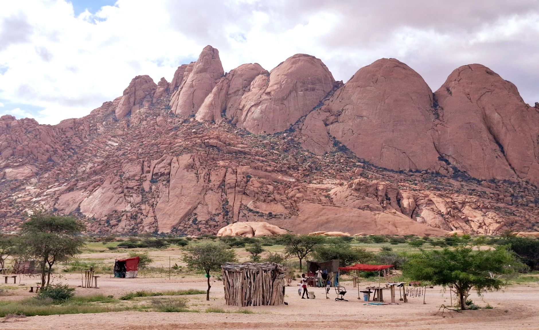
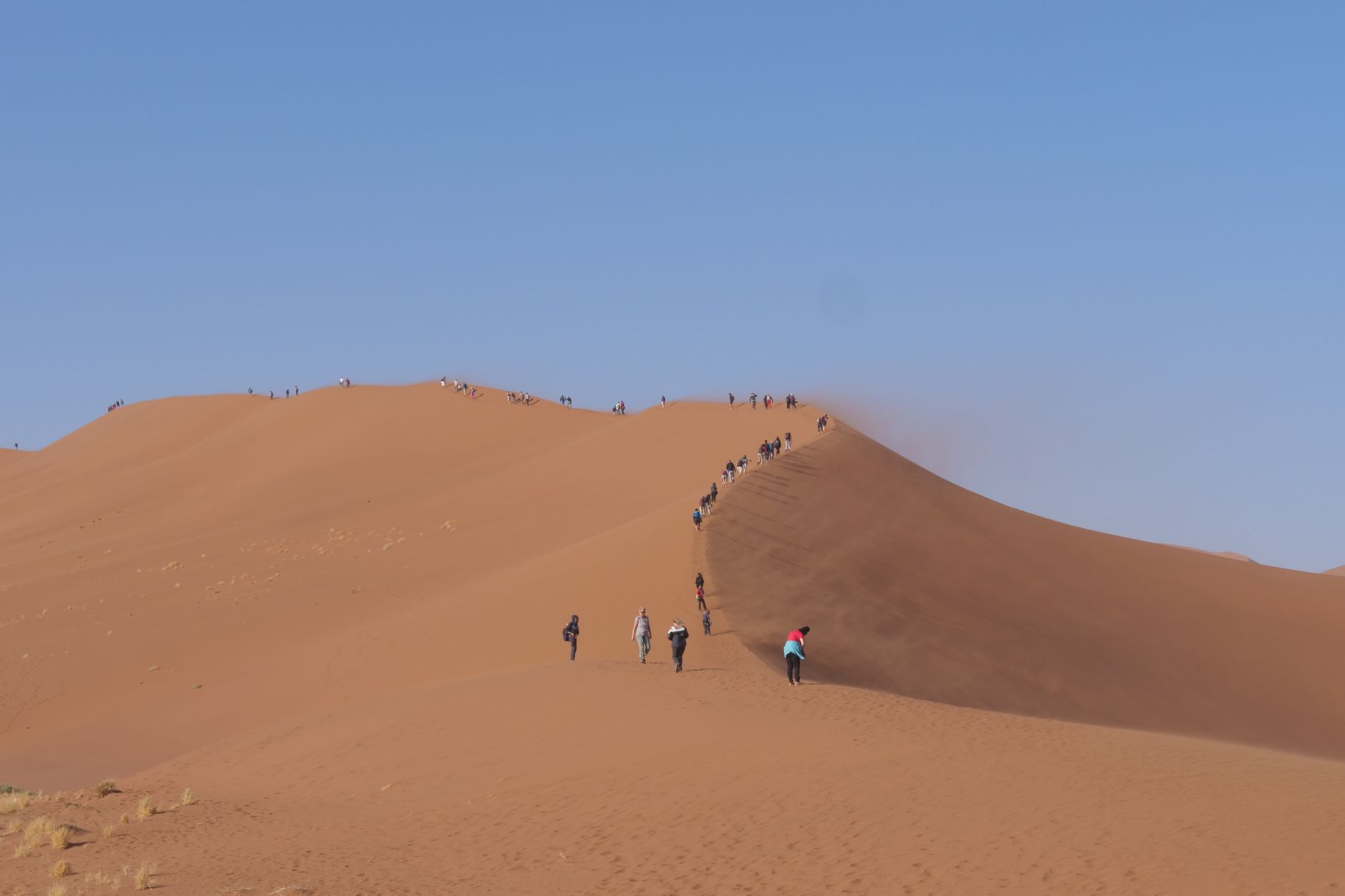
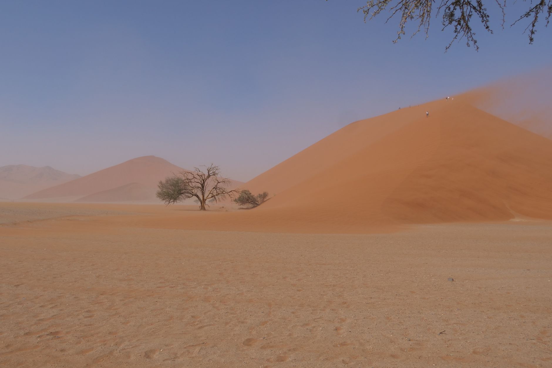
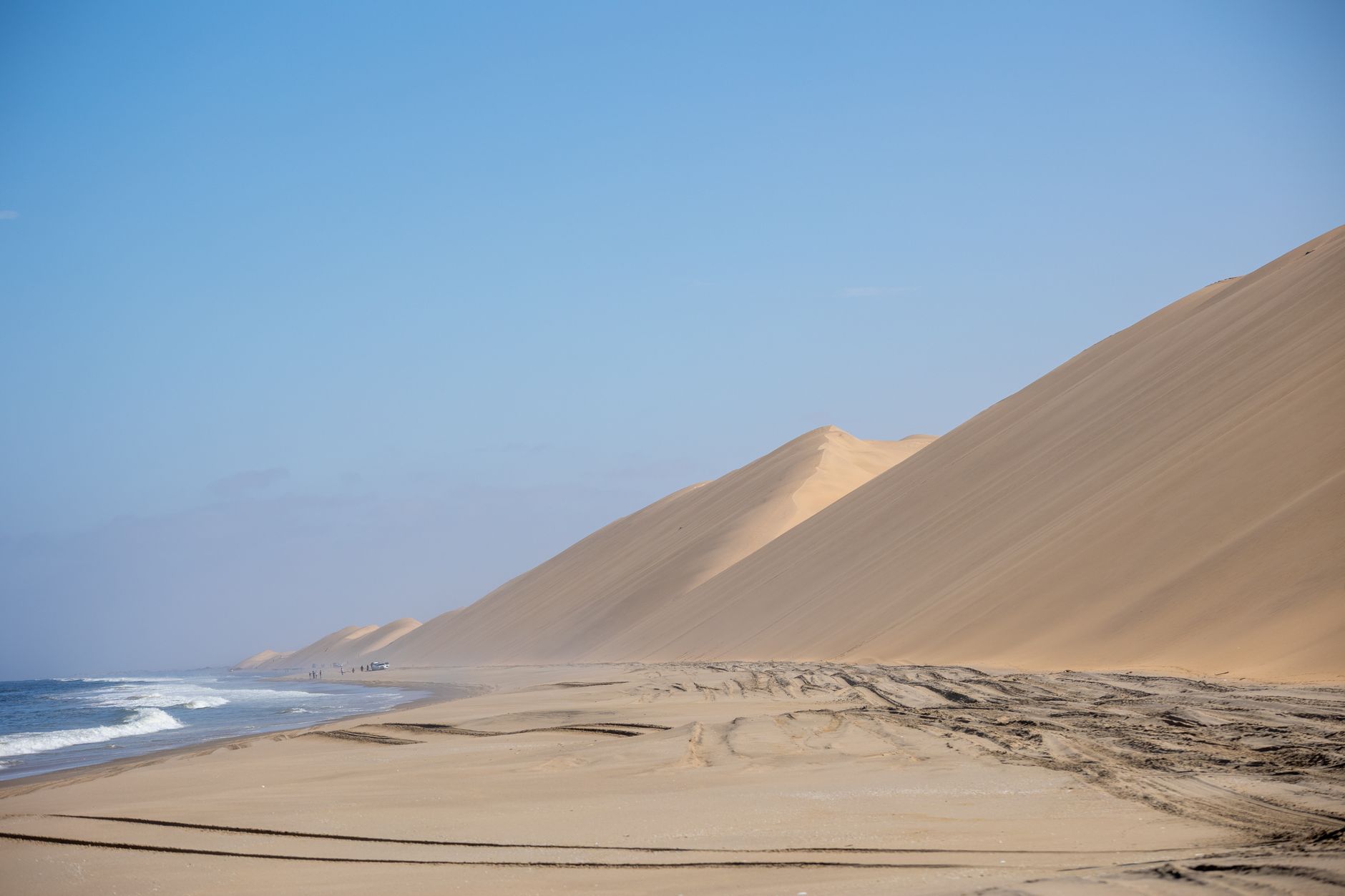
Namibia is one of the least densely populated countries on earth, and you feel it the moment you clear the airport and watch the land open up around you — red dunes, pale salt pans, a sky that seems to start earlier and end later than anywhere else. The country sits on the southwestern edge of Africa, bordered by the Atlantic to the west and the Kalahari to the east, and its landscapes shift so dramatically that a two-week drive can feel like crossing several different planets.
Windhoek, the capital, is a workable, walkable city with a colonial-era skyline — church spires, an old fort, a parliament building nicknamed 'the palace of ink' — that anchors you before the desert takes over. Most itineraries fan out from here.
Deals in Namibia
Book directly at the provider

How Namibia came to be
Germany claimed the territory in 1884, calling it German South West Africa, and the colonial footprint is still visible in Windhoek's architecture — the Christuskirche completed in 1907, the Alte Feste fort whose foundation stone was laid in 1890, the Tintenpalast built in 1913 to house the colonial administration. After World War I, South Africa took over under a League of Nations mandate and held the territory through decades of resistance.
The liberation war ran from 1966 to 1990. On 21 March 1990, Namibia became independent — the 47th African colony to make that break — with Sam Nujoma as its first elected president. South Africa held onto Walvis Bay for another four years before ceding it in 1994.
Who and what shaped it
People who shaped it
Landmark buildings
See Namibia in motion
Plan your visit
On the map
When to go
July through October is the driest, clearest window — days are warm, nights can be cold, and wildlife concentrates around shrinking water sources. If you come between January and March, expect afternoon thunderstorms that arrive fast and clear fast, and temperatures in the desert interior that regularly push past 40°C.
Right now
↡ Regions
Background & history adapted from Wikipedia (CC BY-SA) · specs from Wikidata (CC0) · weather from Open-Meteo · map data © OpenStreetMap contributors · photos from Wikimedia Commons / Unsplash with per-image credit. No third-party reviews or social posts reproduced.