
Kiribati
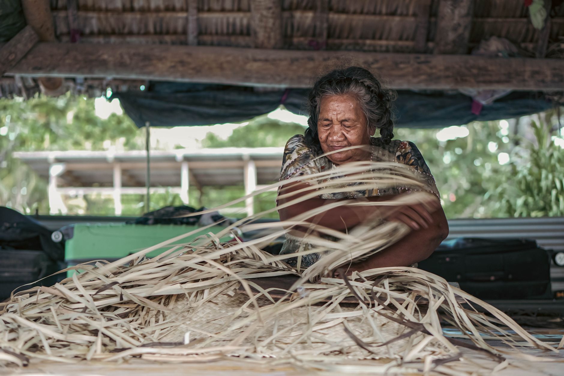
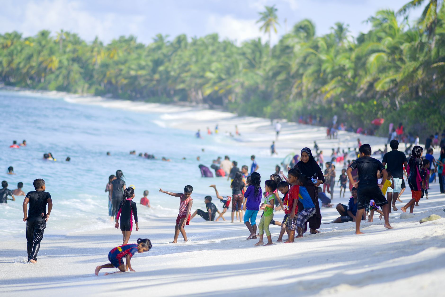
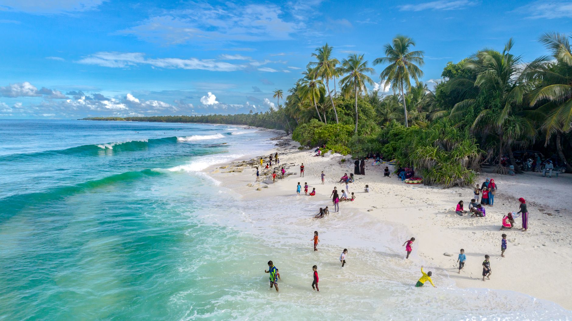

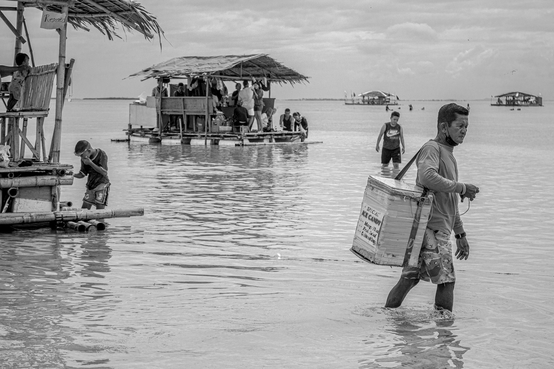
Kiribati sits scattered across the central Pacific in three island groups — the Gilberts, the Phoenix Islands, and the Line Islands — straddling both the equator and the international date line, which means it occupies more ocean than almost any other country on earth while housing barely 138,000 people. More than half of them live on Tarawa, a thin atoll where the lagoon is never far from the ocean side of the road.
This is a place that asks something of you before it gives anything back. Flights are infrequent, accommodation is spare, and the outer islands have no motorized vehicles at all. What you get in return is a Pacific that hasn't been smoothed out for visitors — reef, sky, and the particular quiet of islands that the rest of the world has largely left alone.
Deals in Kiribati
Book directly at the provider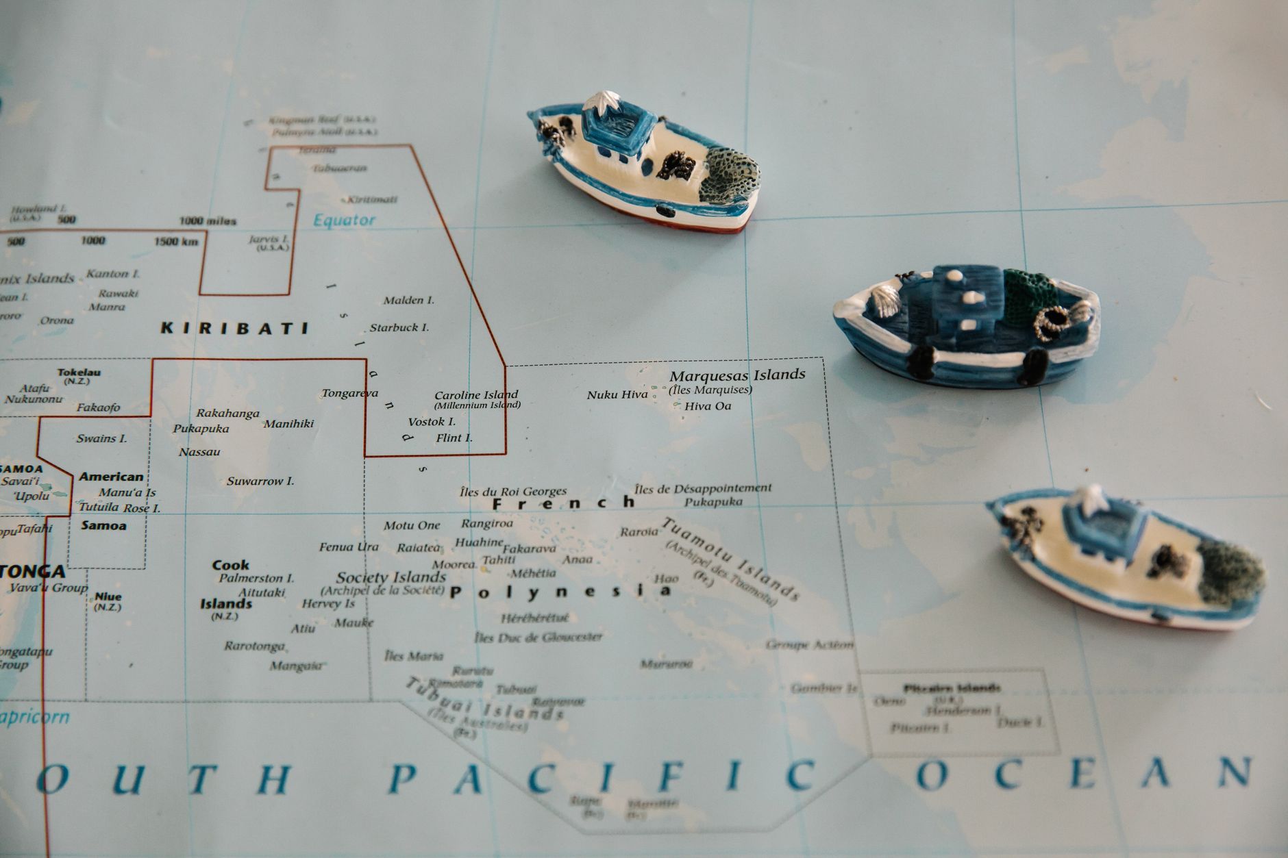


How Kiribati came to be
People have lived on these atolls for three to five thousand years, arriving from Southeast Asia via Micronesia long before any European ship appeared on the horizon. Britain declared the Gilberts a protectorate in 1892 and annexed the phosphate-rich island of Banaba in 1900. Japan occupied the islands during World War II, and the November 1943 Allied assault on Betio — a small islet on Tarawa — became one of the bloodiest engagements of the Pacific war in proportion to its duration and size. The bunkers and gun emplacements are still there.
The islands gained internal self-government in 1977, with Ieremia Tabai elected Chief Minister at 27. On 12 July 1979, Kiribati became an independent republic — the name itself a Gilbertese rendering of 'Gilberts', pronounced 'Kiribas'. The United States relinquished its claims to the Phoenix and Line Islands that same year, ratified in 1983, giving the new country its vast oceanic territory.
Who and what shaped it
People who shaped it
Landmark buildings
See Kiribati in motion
Plan your visit
On the map
When to go
Temperatures hold steady between 26 and 32°C year-round with water temperatures around 28–29°C. The dry season runs roughly May through October, when the southeast trade winds keep things bearable — late May through mid-July is the window most worth planning around, before the heat and humidity build again toward the wet months.
Right now
Background & history adapted from Wikipedia (CC BY-SA) · specs from Wikidata (CC0) · weather from Open-Meteo · map data © OpenStreetMap contributors · photos from Wikimedia Commons / Unsplash with per-image credit. No third-party reviews or social posts reproduced.