
Asia
Asia holds both the highest point on Earth — Everest's summit at 8,848 metres, straddling China and Nepal — and the world's deepest lake, Baikal, tucked into eastern Russia. That range is the whole story in miniature: a continent of 44 million square kilometres where the rules keep changing. More than 4.7 billion people live here, speaking thousands of languages across terrain that runs from Arctic tundra to equatorial rainforest, from the Rub' al Khali desert to the monsoon-drenched coast of Kerala.
No single trip covers Asia. What you get instead is a series of distinct worlds that happen to share a landmass — and the slow realisation that each one could take a lifetime.
Popular countries in Asia
How Asia came to be
The name itself comes from the ancient Greeks, likely borrowed from the Assyrian word asu — simply meaning 'east.' Asia's earliest civilisations rose along river valleys: Mesopotamia between the Tigris and Euphrates, the Indus Valley, the Yellow River basin. These were not peripheral stories but the central chapters of early human settlement.
The continent's physical shape is still being written. Around 50–55 million years ago the Indian subcontinent drove into Eurasia and crumpled upward into the Himalayas, a collision that also redirected monsoon patterns across the entire southern half of the landmass. The mountains made the weather, and the weather made the civilisations.
Who and what shaped it
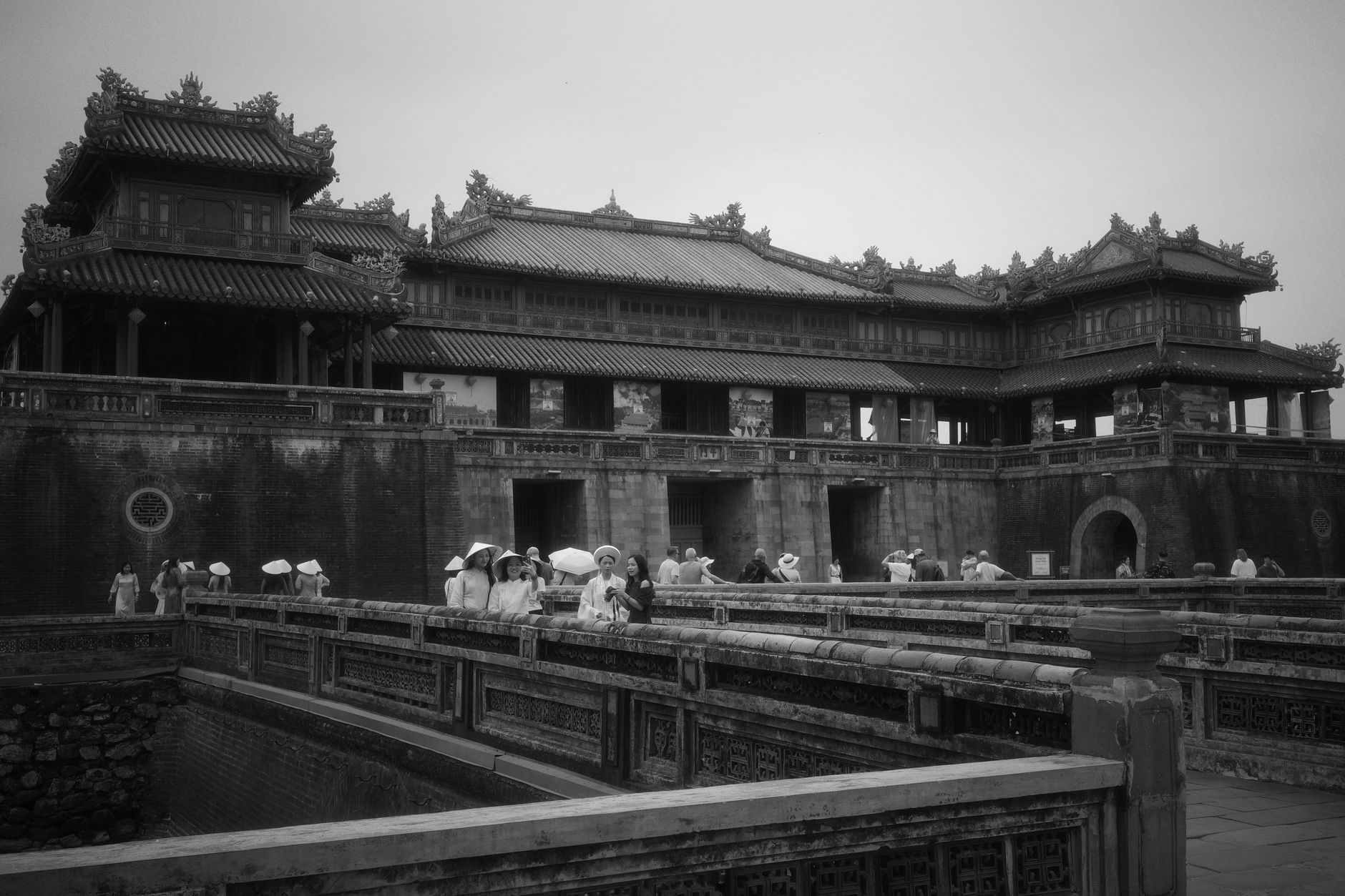
Landmark buildings
Plan your visit
On the map
When to go
The climatic range is genuinely extreme: temperatures near Oymyakon in northeastern Russia have dropped to −71°C, while Southeast Asian lowlands bake above 40°C in April and May. In broad terms, November to February is dry and manageable across South and Southeast Asia; the southwest monsoon sweeps in from June through September. The interior and West Asia run on their own schedules entirely.
Right now
↡ Regions


↡ Countries
No places match these filters.
Background & history adapted from Wikipedia (CC BY-SA) · specs from Wikidata (CC0) · weather from Open-Meteo · map data © OpenStreetMap contributors · photos from Wikimedia Commons / Unsplash with per-image credit. No third-party reviews or social posts reproduced.