
Angkor Wat, Cambodia
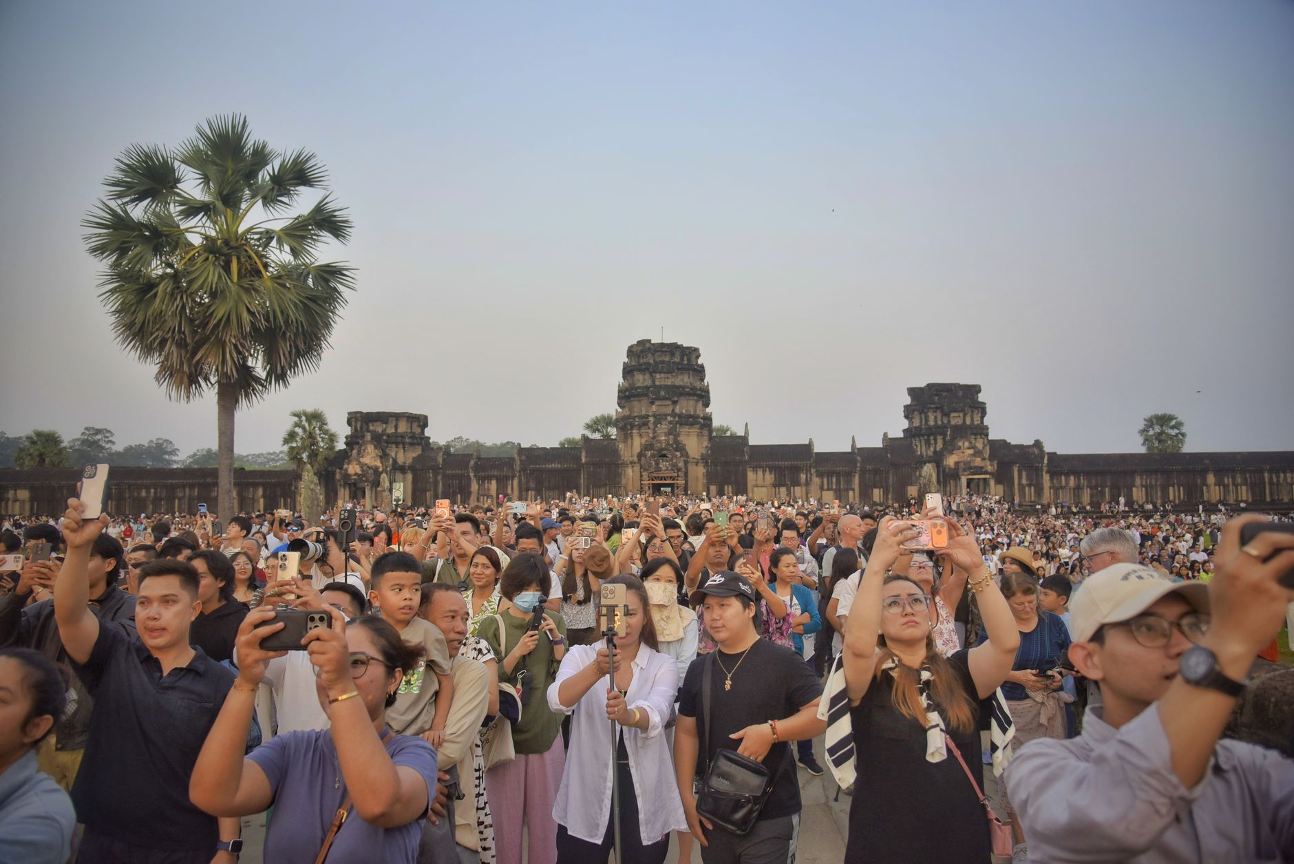
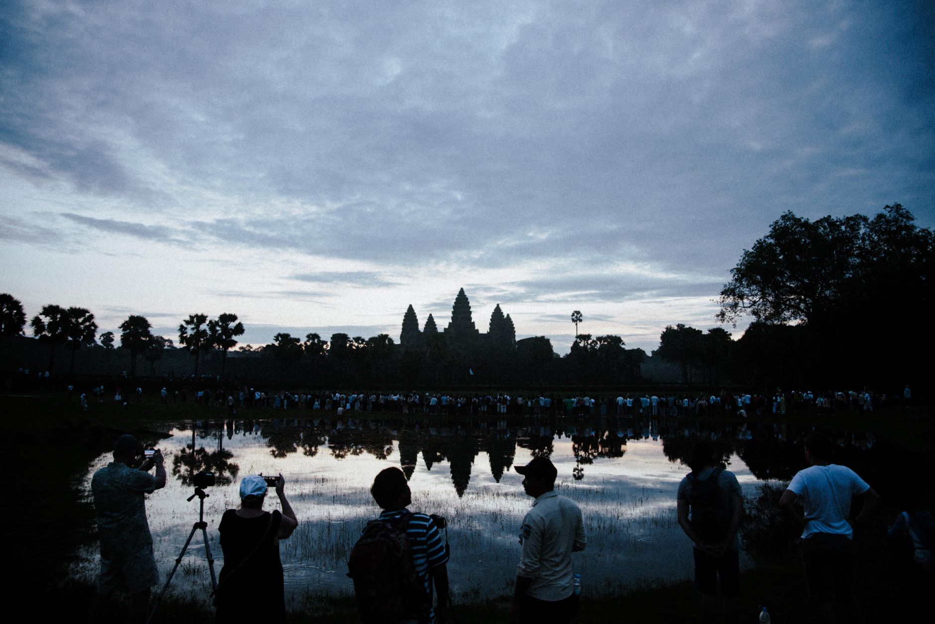
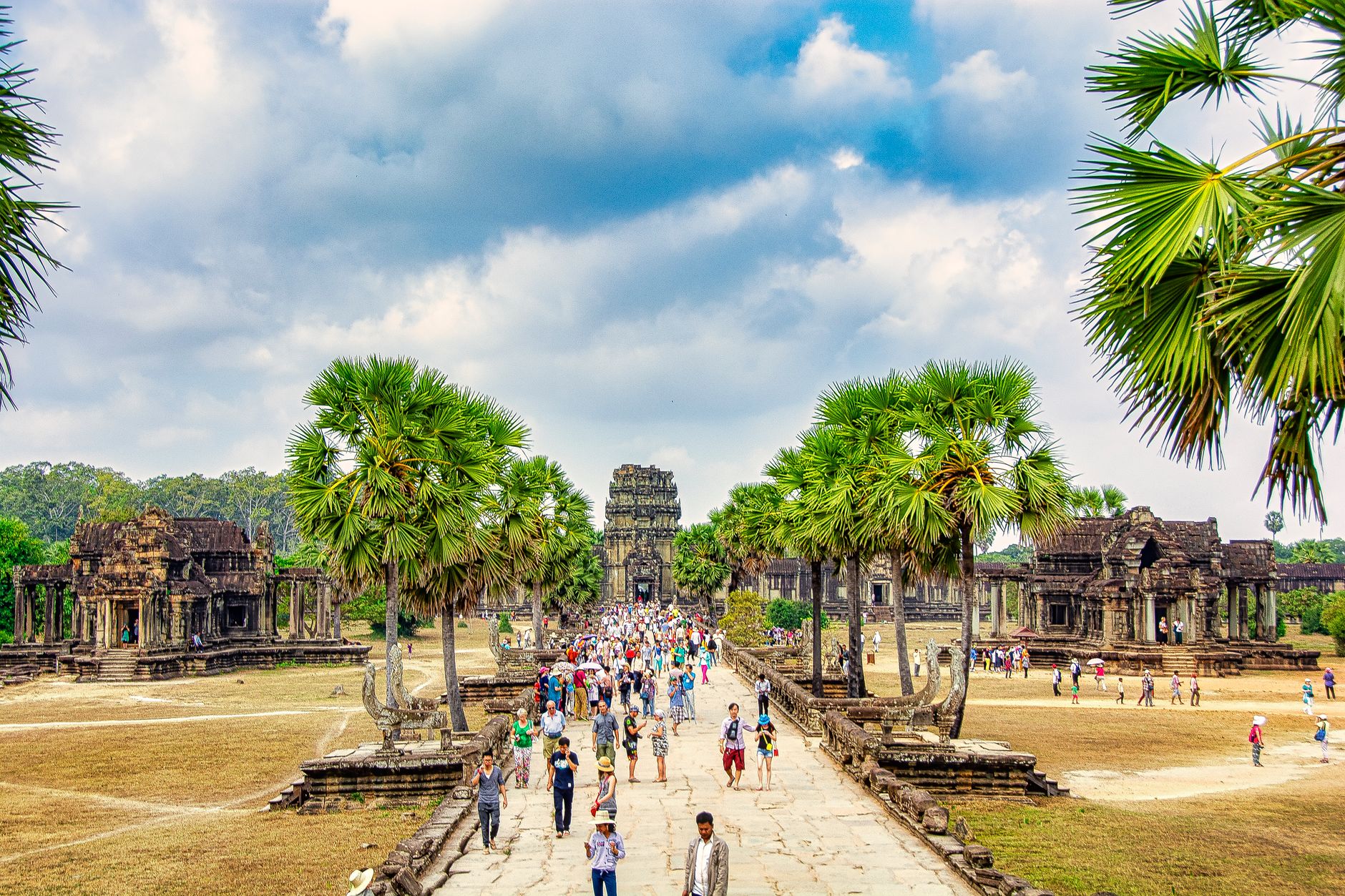
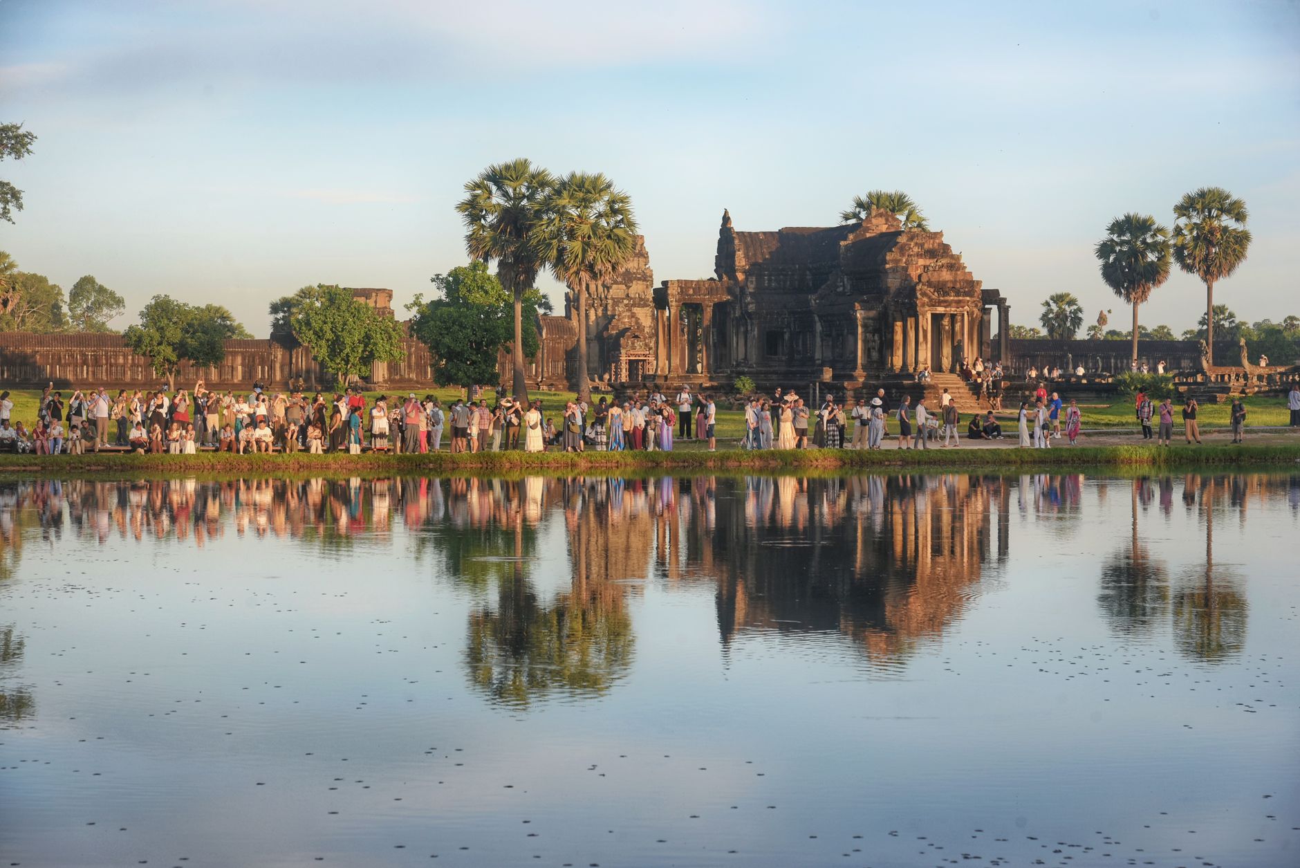
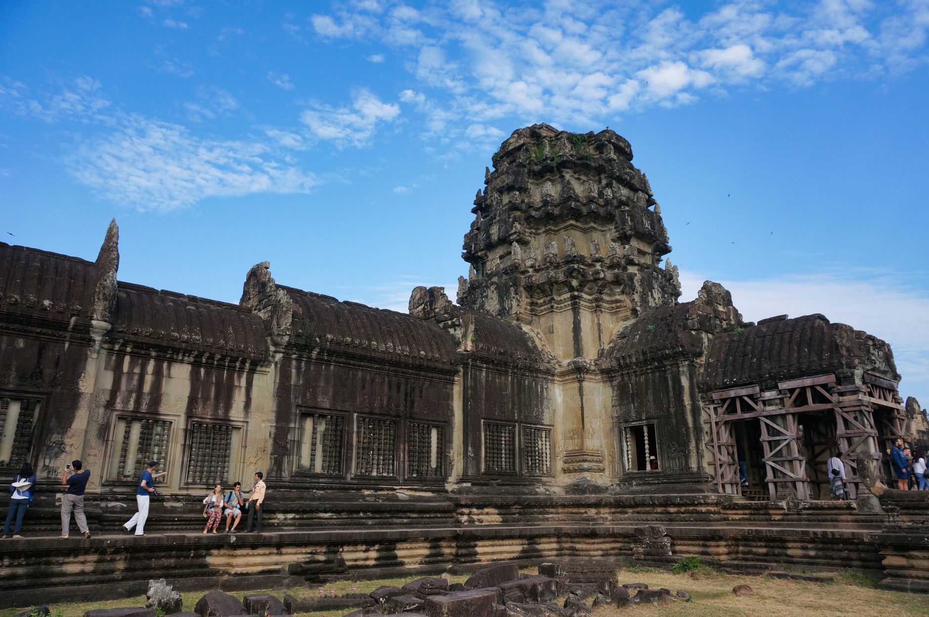
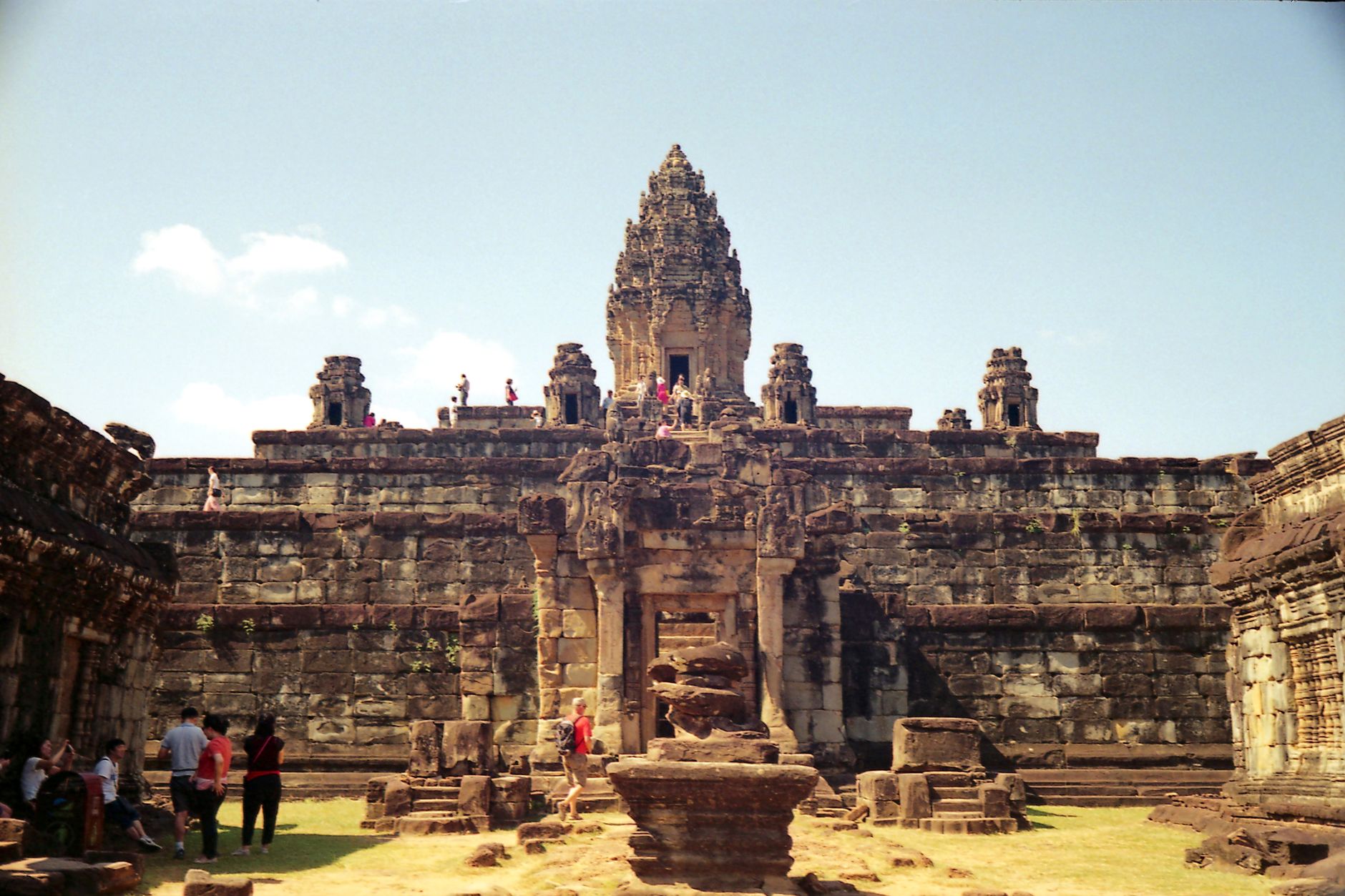
At sunrise, the five towers of Angkor Wat rise above their own reflection in the moat — a sight so composed it looks arranged, yet it has looked roughly this way for nine centuries. The complex covers some 400 acres and contains more than a thousand structures, but the scale only becomes real when you find yourself standing at the foot of the central sanctuary, 42 metres above the upper terrace, and realise the stones around you were cut and set without any machinery we would recognise.
Angkor Wat sits eight kilometres north of Siem Reap in northwestern Cambodia. It began as a Hindu temple dedicated to Vishnu, shifted toward Buddhism before the 13th century ended, and has functioned as a place of worship — continuously — ever since. The 1,200 square metres of bas-relief carvings alone could occupy an afternoon.
How Angkor Wat, Cambodia came to be
Construction began in 1122 CE under Khmer king Suryavarman II and was completed by 1150, the year of his death. He dedicated it to Vishnu — the five towers represent the peaks of Mount Meru, the Hindu home of the gods — on the counsel of the scholar Divākarapaṇḍita. The architects remain unknown by name.
After the Cham sacked Angkor, King Jayavarman VII reoriented the complex toward Buddhism, a transition that proved permanent. The Ayutthaya took Angkor in 1431, yet the temple was never truly abandoned; a Portuguese Capuchin friar named António da Madalena documented it in 1586. Formal conservation began in 1908 under the École française d'Extrême-Orient, with major restoration work in the 1960s. UNESCO listed it as a World Heritage Site in 1992.
Who and what shaped it
People who shaped it
Landmark buildings
See Angkor Wat, Cambodia in motion
Plan your visit
On the map
When to go
November through February is the window to aim for — dry, cooler air makes the long walks across unshaded stone bearable. September and October bring peak monsoon rains that flood the sand paths and make the steep stone steps genuinely slippery.
Right now
Background & history adapted from Wikipedia (CC BY-SA) · specs from Wikidata (CC0) · weather from Open-Meteo · map data © OpenStreetMap contributors · photos from Wikimedia Commons / Unsplash with per-image credit. No third-party reviews or social posts reproduced.