Country

New Zealand

New Zealand
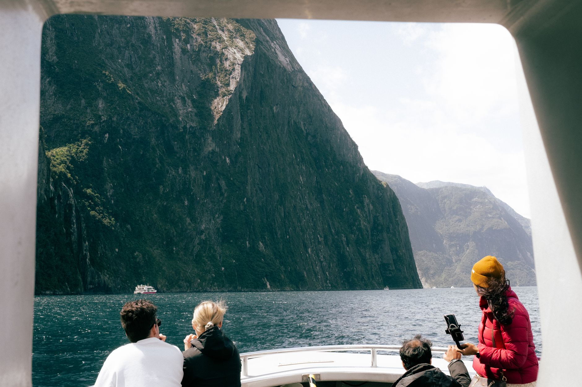
Photo by Kaiser Concha on Pexels
New Zealand
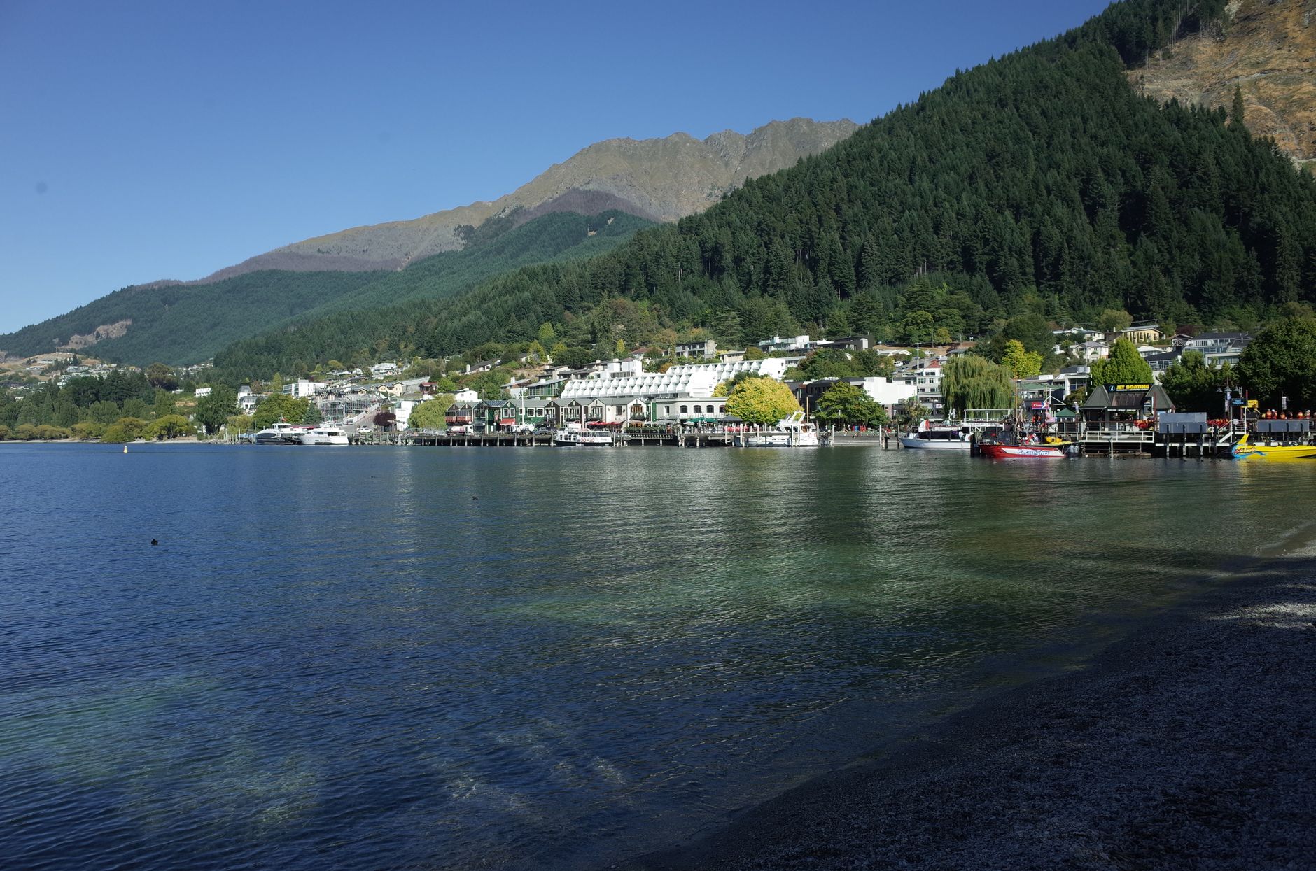
Photo by Loi Loi on Pexels
New Zealand
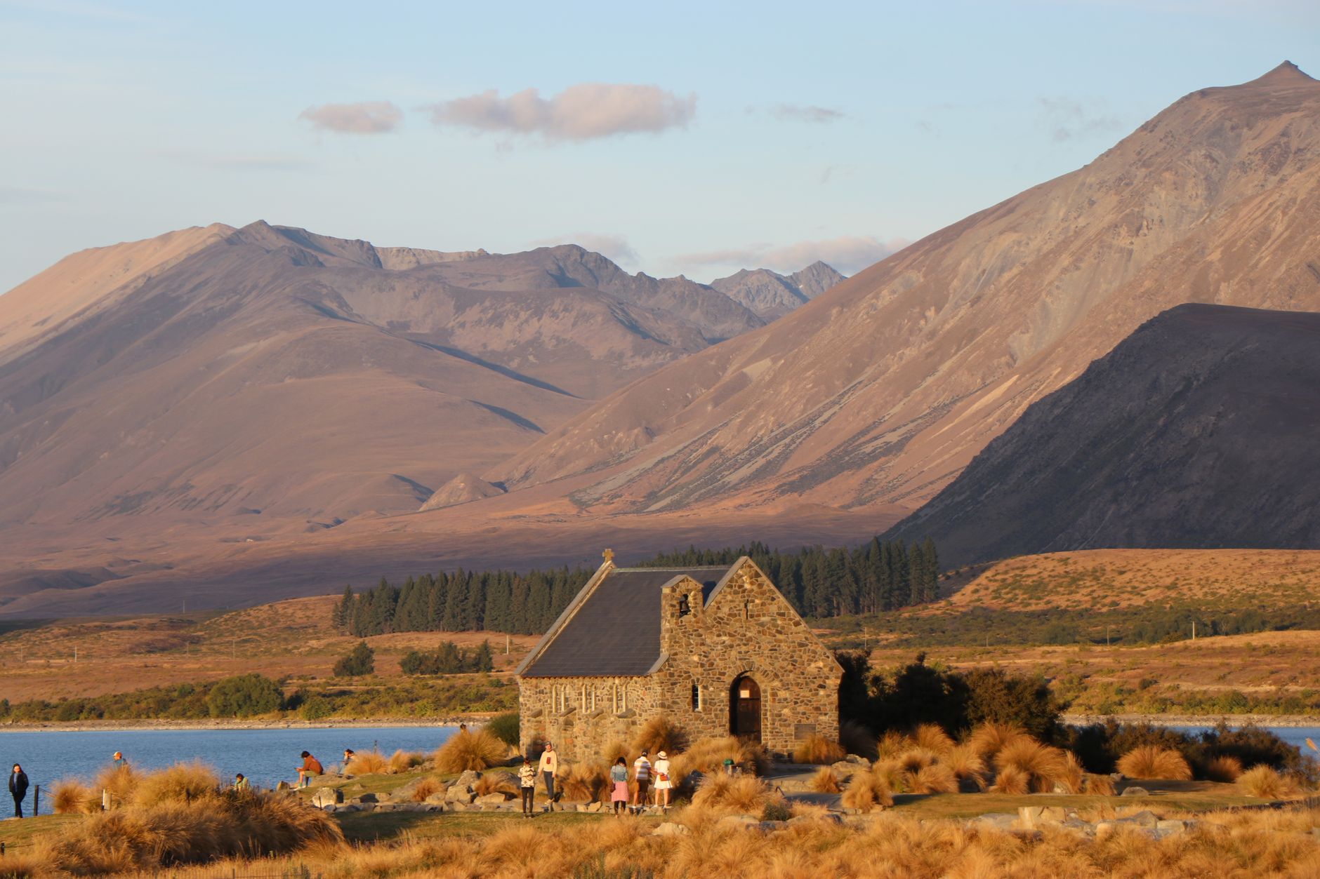
Photo by Ryan Fatalla on Pexels
New Zealand
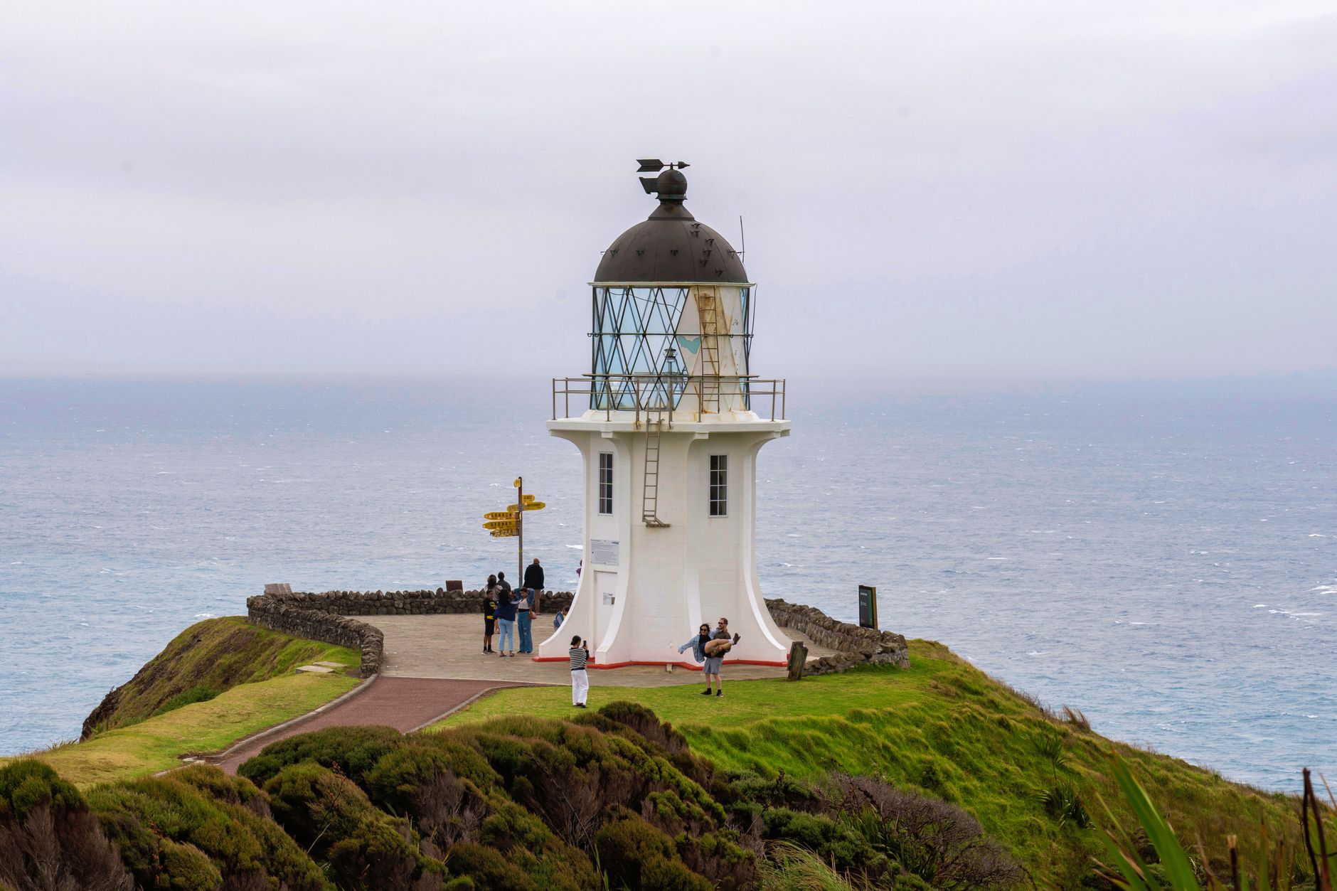
Photo by Mario Amé on Pexels
New Zealand
Photo by Ravish Maqsood on Pexels
New Zealand
Photo by kari Kittlaus on Pexels
Nature & outdoors Hiking & mountains Adventure & active

Two islands at the far edge of the Pacific, New Zealand sits alone enough that it developed its own logic — a Polynesian culture, Māori, that had shaped the land for centuries before a Dutch navigator named Abel Tasman glimpsed the coastline in 1642. What you find here is the result of that long, layered becoming: a country where a volcanic lake fills an ancient caldera, a 2,300-year-old kauri tree holds its ground in a forest sanctuary, and a geyser in Rotorua is the largest of its kind in the Southern Hemisphere.

The two main islands pull in different directions. The North runs warmer, geothermal, with Māori culture concentrated in places like Rotorua and the Bay of Islands. The South turns alpine and austere, with Aoraki/Mount Cook rising to 12,000 feet above glacial valleys. Getting between them takes planning, but that contrast is the point.

Good to know
Auckland, Wellington, and Christchurch all have international airports. Seven to ten days covers the major ground without rushing, though most travellers find themselves wishing for more time in the South Island. The Interislander ferry between Wellington and Picton is worth taking for the Marlborough Sounds scenery alone.

Deals in New Zealand

Book directly at the provider
The story

How New Zealand came to be

Polynesian navigators reached New Zealand between 1320 and 1350 CE, establishing the culture that became Māori — distinct in language, art, and relationship to the land. European contact came in December 1642 when Abel Tasman arrived, though sustained engagement began with James Cook's first circumnavigation and mapping voyage in 1769. The Treaty of Waitangi, signed on 6 February 1840 between Great Britain and numerous Māori tribes, marked the formal beginning of British sovereignty — a document still central to New Zealand's legal and political life.

New Zealand became a separate colony in 1841, gained self-governance in 1852, Dominion status in 1907, and full independence in 1947. The Waitangi Treaty Grounds in the Bay of Islands, where the original signing took place, remain open to visitors.

People & landmarks

Who and what shaped it

People who shaped it

Abel Tasman
Dutch navigator; first European to reach New Zealand on 13 December 1642.
James Cook
First European to circumnavigate and map New Zealand, beginning October 1769.
Fredrick de Jersey Clere
Architect; designed St. Paul's Cathedral Wellington (completed 1931) and Dunedin Railway Station.
Sir Miles Warren
Architect; designed Christchurch Town Hall, completed 1972.
Ian Athfield
Architect (1940–2015); designed Civic Square, Telecom Towers, and Wellington Central Library.
Peter Jackson
Filmmaker; leased Alexander farm in Matamata for Lord of the Rings location scouting; built permanent Hobbiton set in 2009.

Landmark buildings

Sky Tower, Auckland
Built 1994–1997; 328 metres tall with observation deck at 220 metres.
The Beehive, Wellington
Built 1969–1981; houses parliament Executive Wing, Prime Minister, and Cabinet offices.
Waitangi Treaty Grounds, Bay of Islands
Site where Treaty of Waitangi was signed 6 February 1840; preserved as historic reserve and tourist attraction.
Tongariro National Park, North Island
New Zealand's oldest national park and UNESCO World Heritage Site; features 12-mile Tongariro Alpine Crossing day hike.
Tane Mahuta, Waipoua Kauri Forest Sanctuary
Largest kauri tree in New Zealand; 43 feet wide, 167 feet tall, believed 2,300 years old.
Aoraki/Mount Cook, South Island
New Zealand's tallest peak at 12,000 feet.
Pōhutu Geyser, Rotorua
Largest geyser in the Southern Hemisphere.
Lake Taupō, North Island
Largest lake in New Zealand; located in caldera of Taupo volcano.
Huka Falls, North Island
Waikato River waterfall; approximately 7,000 cubic feet per second flows 26 feet then 20 feet.
Hobbiton, Matamata
Permanent set built 2009 for Hobbit trilogy filming; open to public tours.
Larnach Castle, Otago Peninsula
Built 1871; open 365 days a year.
Te Papa Tongarewa, Wellington
National museum formed 1998 from merger of National Museum of New Zealand and National Art Gallery.
Watch

See New Zealand in motion

Practical

Plan your visit

On the map

When to go

The climate shifts dramatically by latitude and coast: subtropical in the far north, semi-arid in Central Otago, and persistently wet on the South Island's West Coast. Summer (December to February) brings warmth up to 30°C in the north; winter (June to August) is mild in the lowlands but genuinely cold and snowy in alpine areas — plan accordingly if the Tongariro Alpine Crossing or Aoraki is on your itinerary.

Right now

☀️
10°C
Clear
Sat
14°
Sun
16°
Mon
12°
Tue
🌧️
11°
Weather data: Open-Meteo
Theme

↡ Cities

No places match these filters.


Background & history adapted from Wikipedia (CC BY-SA) · specs from Wikidata (CC0) · weather from Open-Meteo · map data © OpenStreetMap contributors · photos from Wikimedia Commons / Unsplash with per-image credit. No third-party reviews or social posts reproduced.

Top