
El Salvador
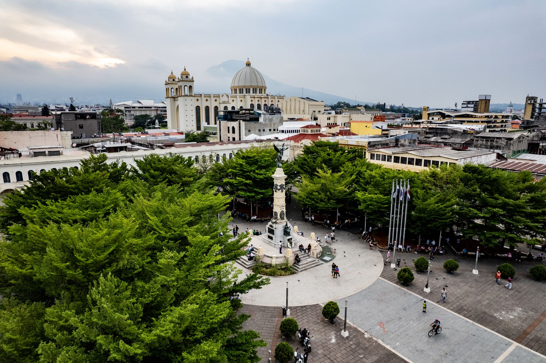
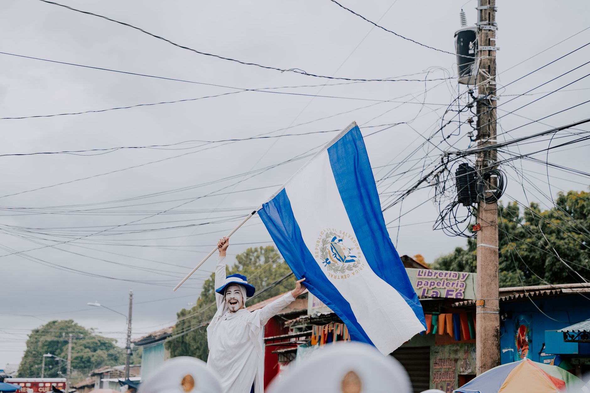
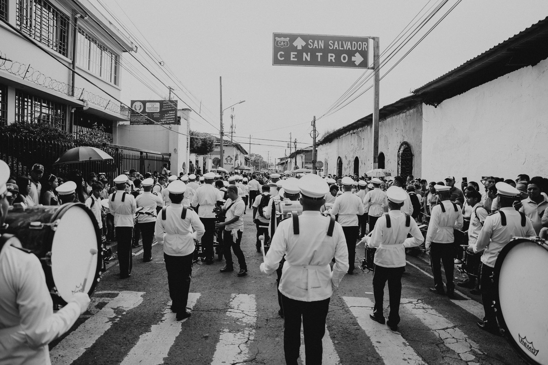
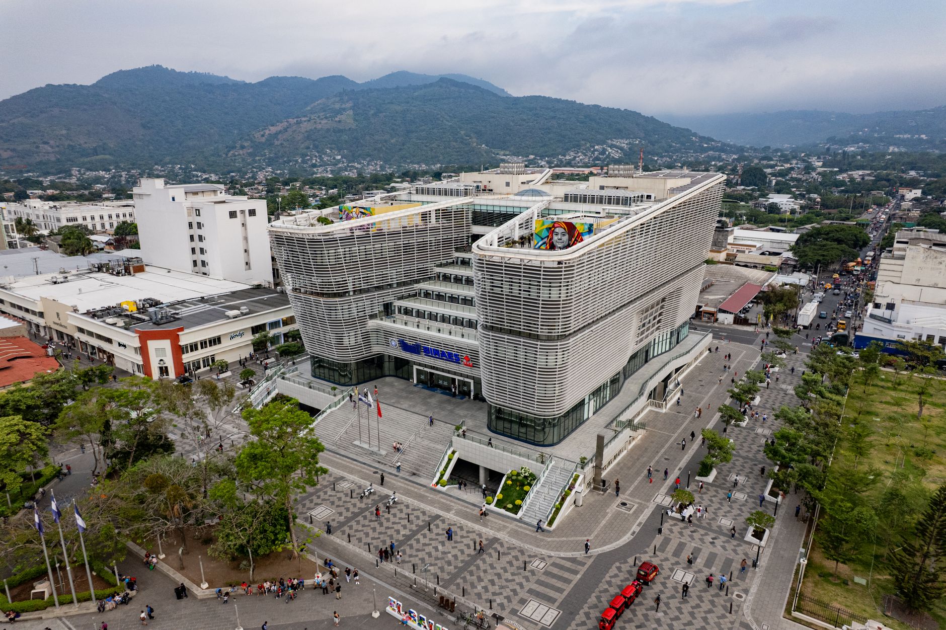
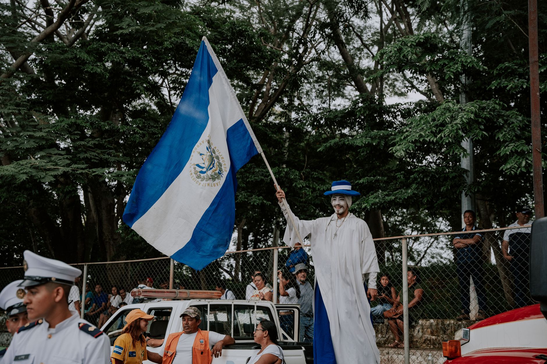
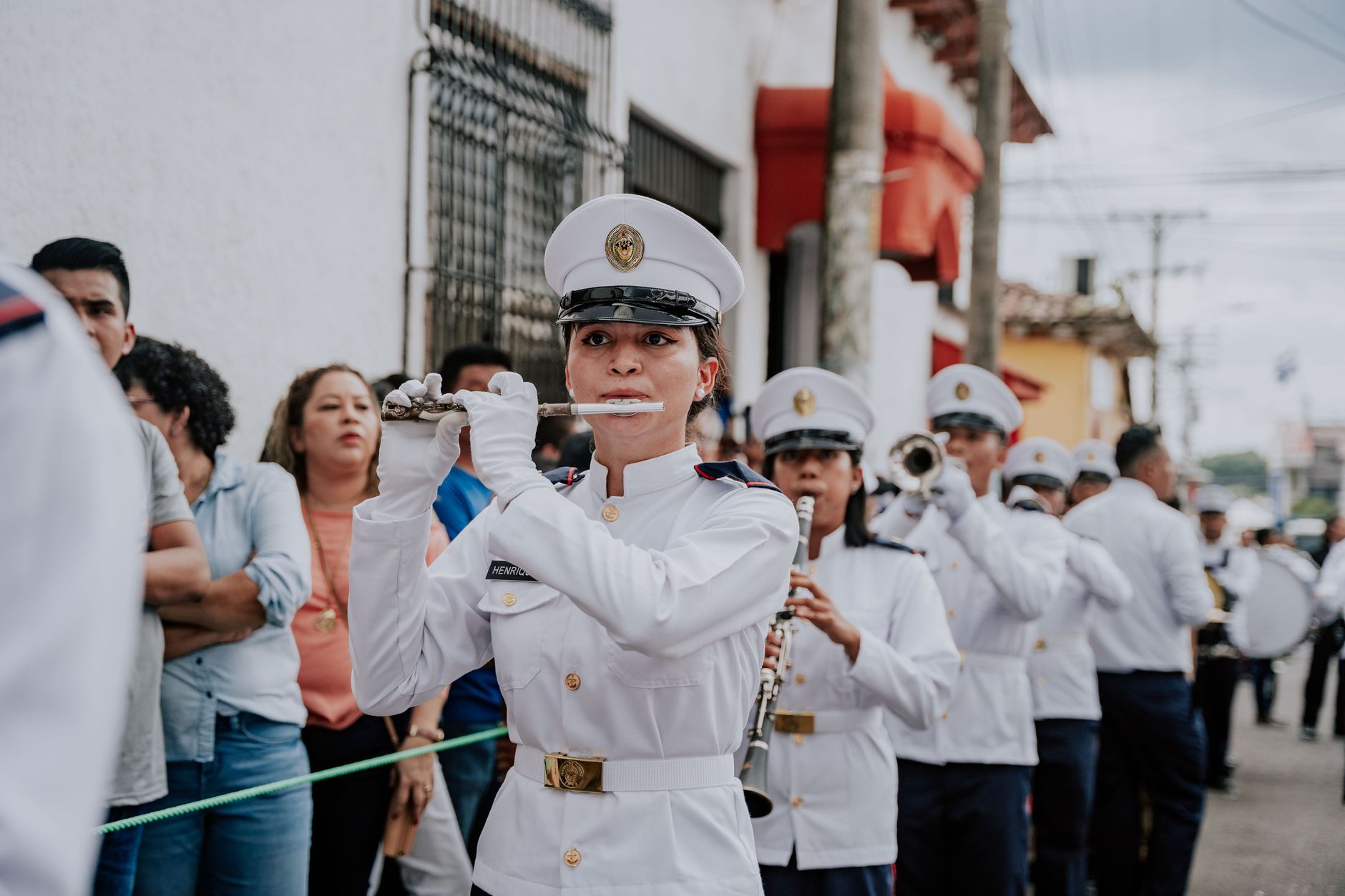
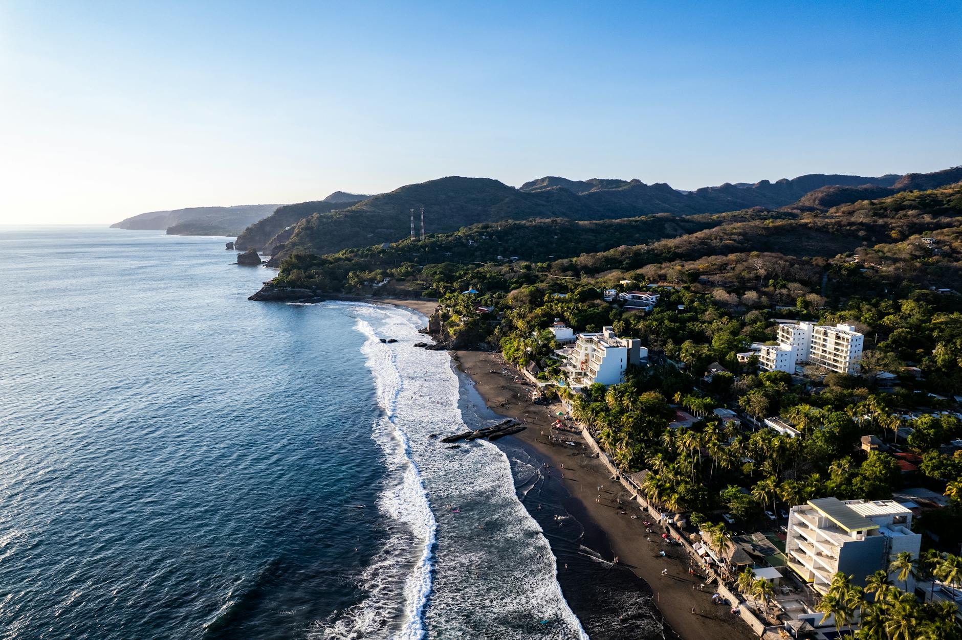
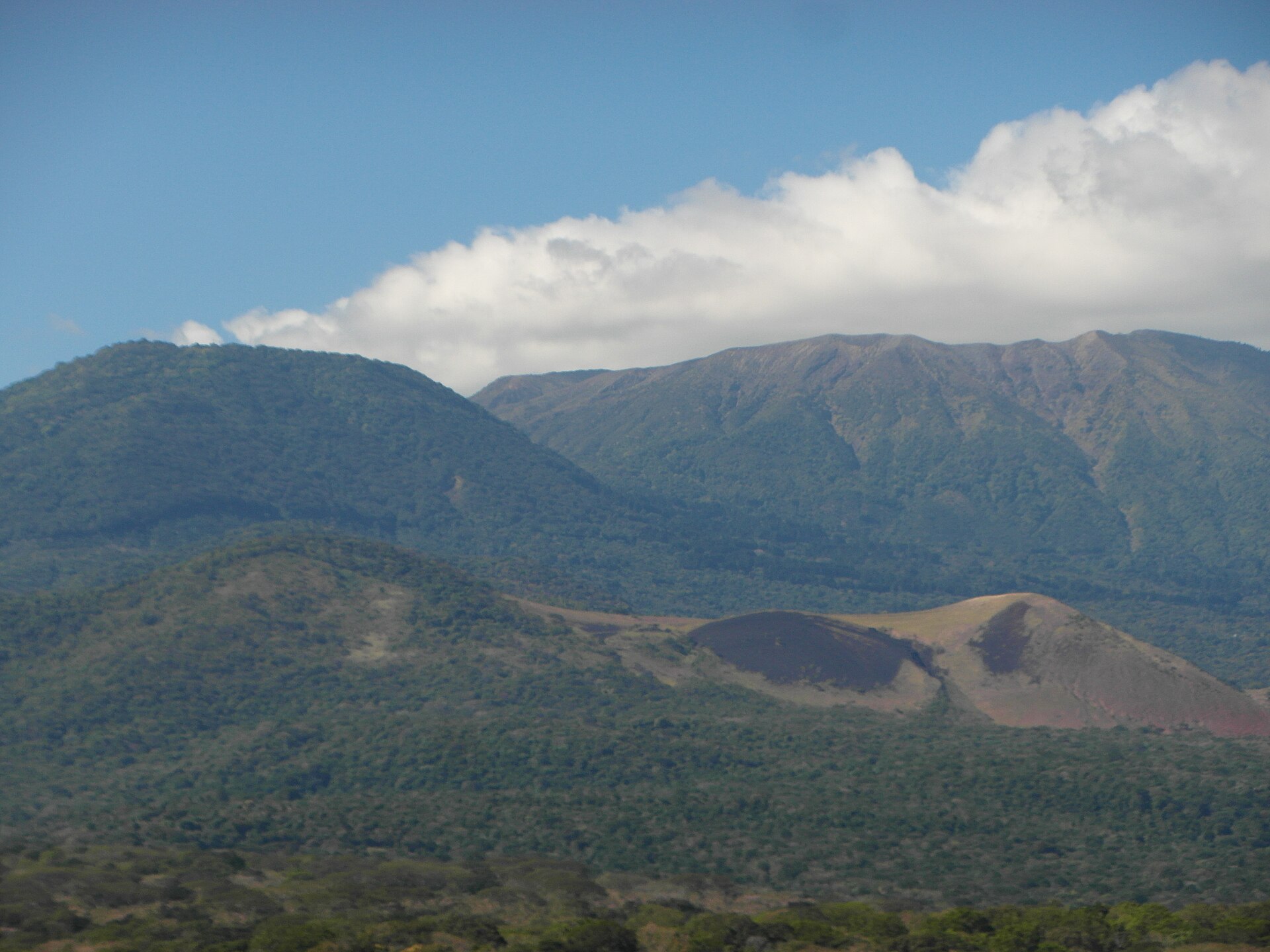
El Salvador is the smallest country in Central America and the only one without a Caribbean coast, which shapes its character more than any guidebook lets on. What it has instead is a Pacific shoreline, a chain of volcanoes running its length, and a density of history — Pipil, Maya, and colonial — packed into a territory smaller than Massachusetts.
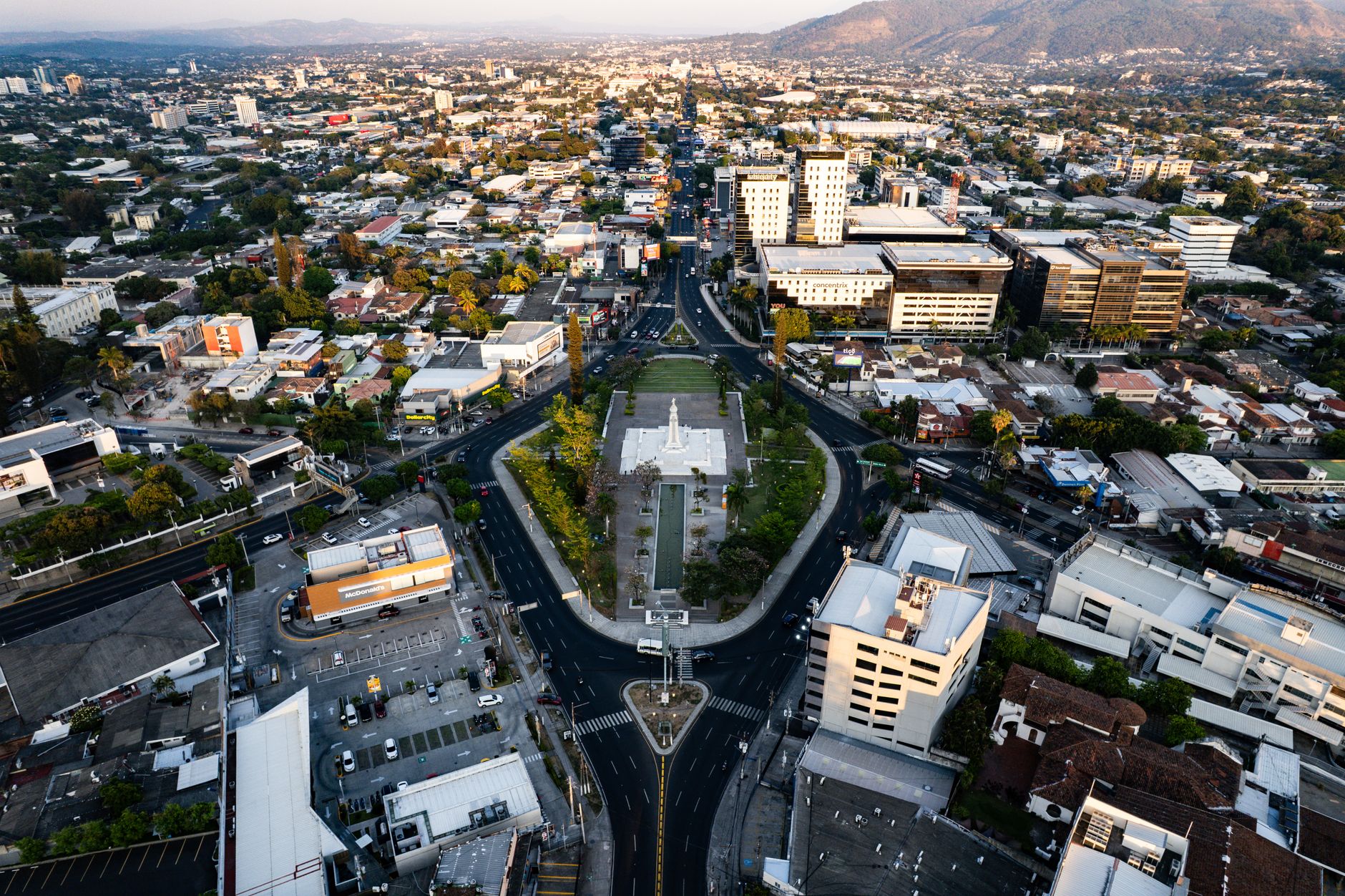
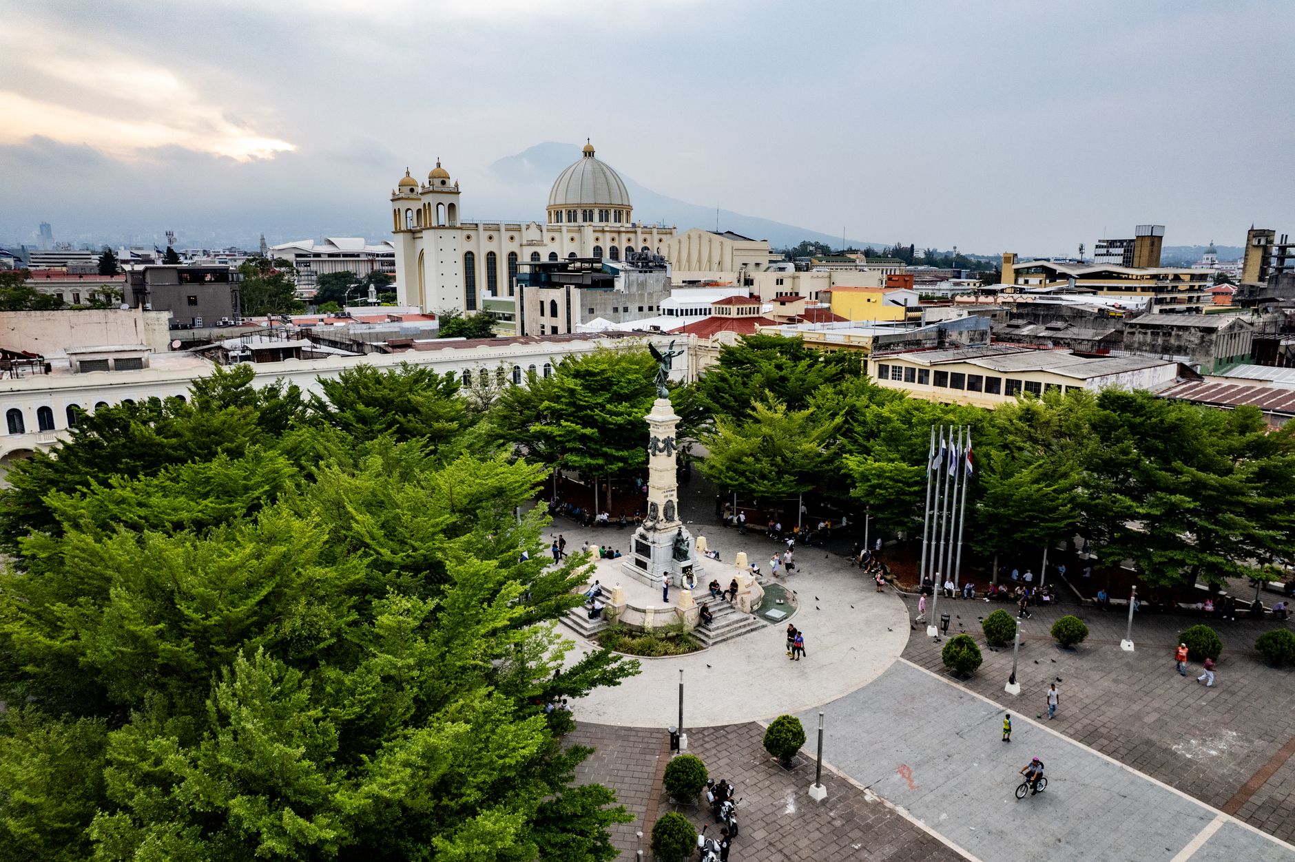
The country has a way of rewarding specifics over itineraries. A $0.25 bus ride on a hand-painted 'chicken bus' covers more cultural ground than most organized tours. The capital, San Salvador, sits at 700 metres, which keeps it a few degrees cooler than the coast and gives it a different rhythm entirely.
Deals in El Salvador
Book directly at the provider
How El Salvador came to be
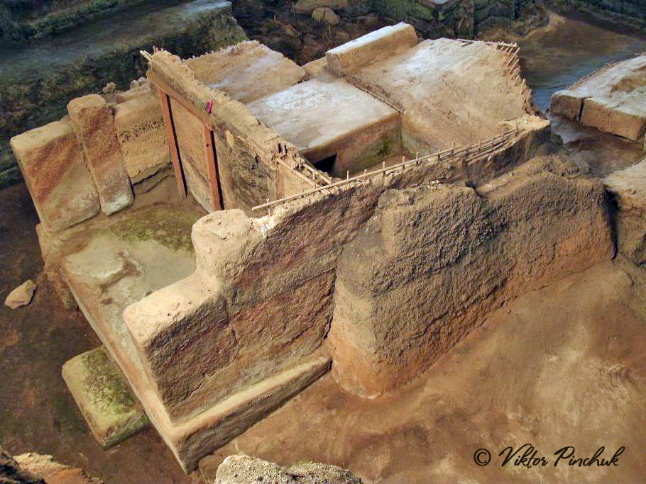
Pipil, Lenca, and Maya peoples were already shaping this land when Spanish forces arrived in the early 16th century, incorporating the region into New Spain and founding San Salvador in 1525. Independence from Spain came on September 15, 1821, and the republic formally took its own shape by 1859 — but the road was fractured by indigenous rebellion, including Anastasio Aquino's 1833 uprising, and Agustín Farabundo Martí's crushed peasant revolt of 1932.
A twelve-year civil war, ending in 1992, left around 75,000 dead and reshaped everything from the political system to the diaspora. Archbishop Óscar Romero, assassinated in 1980 and later canonized, remains the country's most internationally recognised figure — his tomb sits inside the National Cathedral in San Salvador.
Who and what shaped it
People who shaped it
Landmark buildings
See El Salvador in motion
Plan your visit
On the map
When to go
The dry season, November through April, is the most comfortable window for travel, with temperatures in San Salvador staying around 30°C and little rain. March and April push hotter — up to 38°C in the interior valleys — while the rainy season from May onward brings daily late-afternoon downpours and high humidity, though mornings often stay clear.
Right now
↡ Regions

No places match these filters.
Background & history adapted from Wikipedia (CC BY-SA) · specs from Wikidata (CC0) · weather from Open-Meteo · map data © OpenStreetMap contributors · photos from Wikimedia Commons / Unsplash with per-image credit. No third-party reviews or social posts reproduced.