
Joya de Cerén
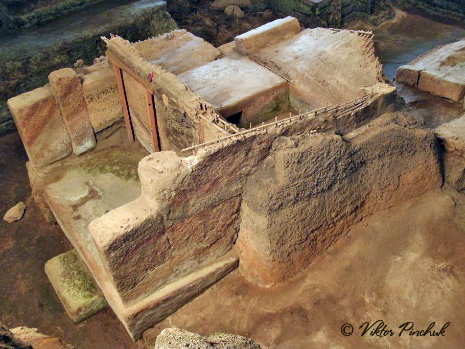
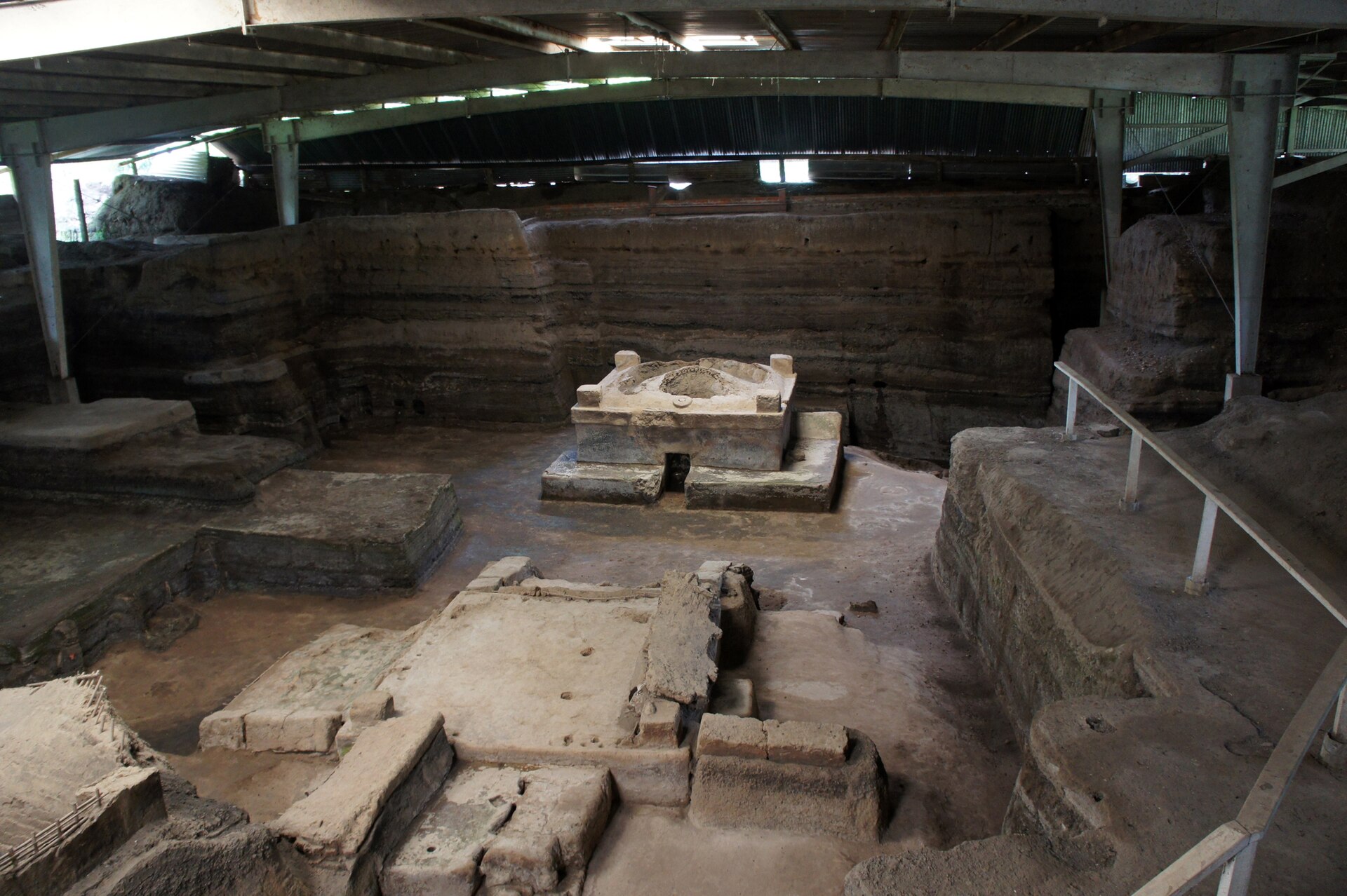
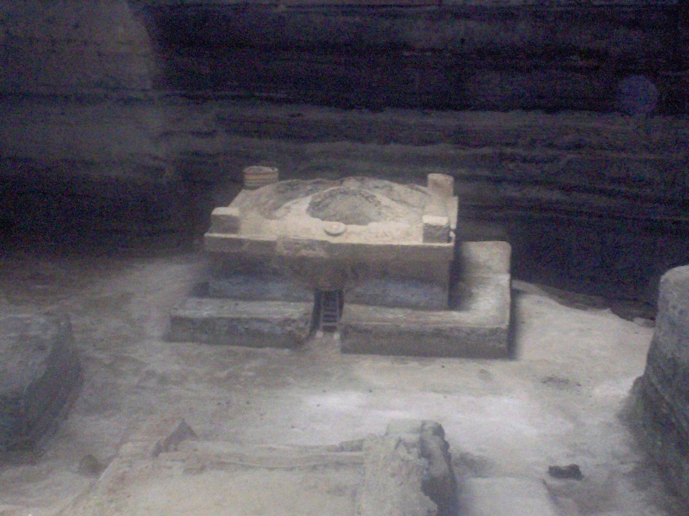
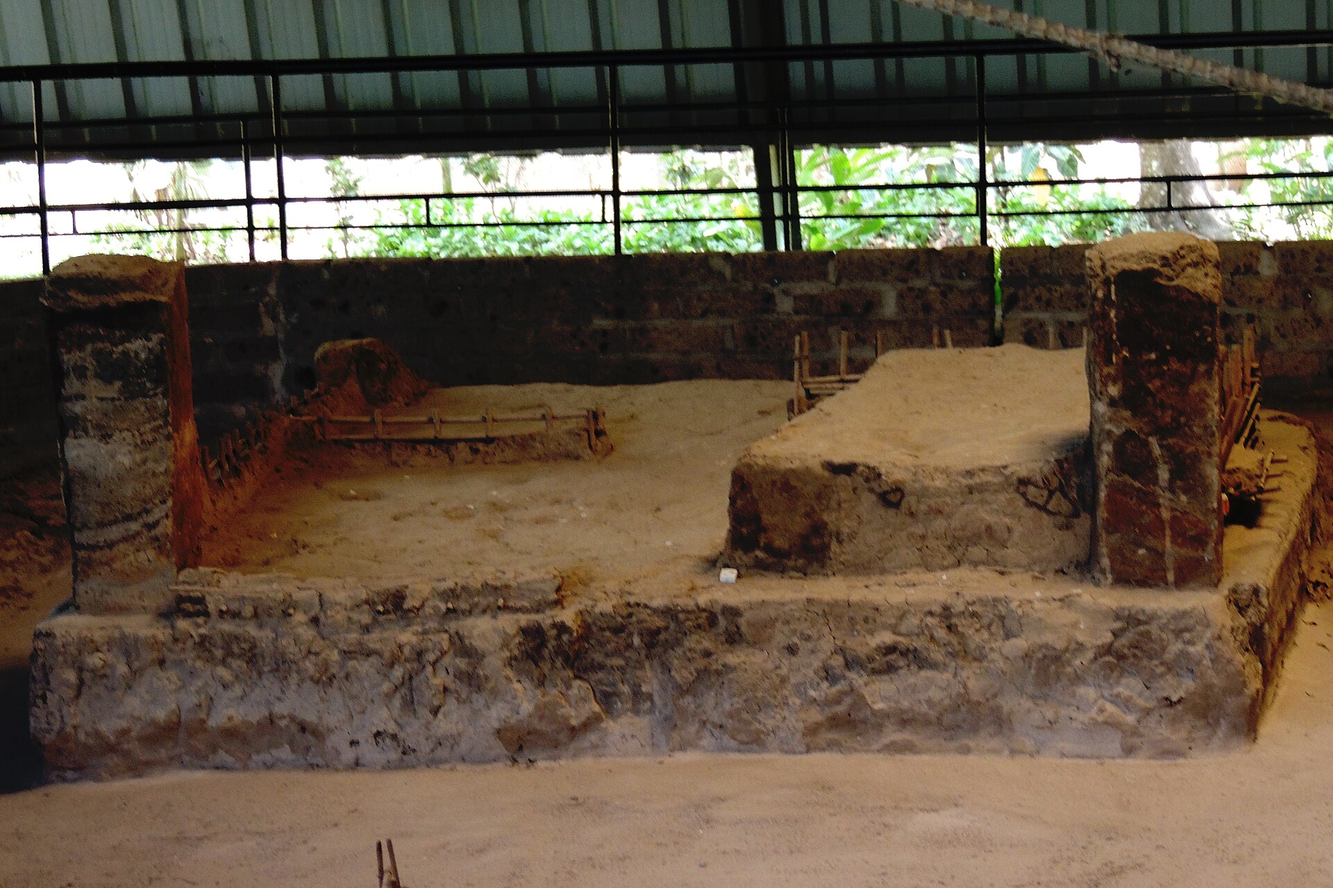
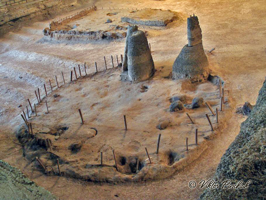
A bulldozer broke through the roof of a Maya house in 1976, and what came out of that accident is one of the Western Hemisphere's most intimate archaeological sites. Joya de Cerén, in El Salvador's Zapotitán Valley, preserves a farming village exactly as its roughly 200 residents left it around AD 600 — beans still in pots, tools set down mid-task, sleeping mats not yet rolled out for the night.
The eruption of the Loma Caldera volcano buried the settlement under four to eight meters of ash within hours. Because the ash cooled quickly and fell fast, it locked in organic material that rarely survives: thatched roofs, woven reed walls, garden furrows planted with manioc and young maize, an agave plot, guava and cacao trees.
How Joya de Cerén came to be
The village was founded sometime after an earlier catastrophe: around AD 500, the Ilopango volcano buried much of central and western El Salvador, emptying the region entirely. Settlers returned only after the ash had weathered into fertile soil, and by AD 600 Joya de Cerén was a working agricultural community — until Loma Caldera ended it.
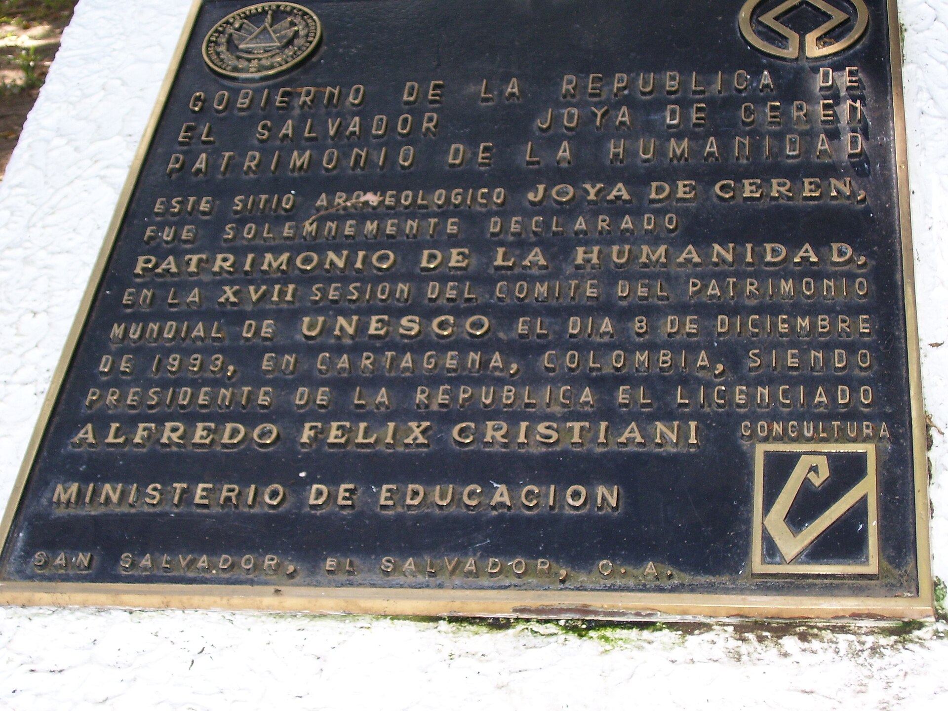
The site lay undisturbed until 1976, when construction of grain-storage silos exposed a clay-built structure. Manuel Lopez of the Department of Archaeology made the initial investigation; Payson Sheets of the University of Colorado began systematic excavations in 1978, work that continues today. UNESCO added Joya de Cerén to its World Heritage List in 1993, the same year the archaeological park formally opened.
Who and what shaped it
People who shaped it
Landmark buildings
See Joya de Cerén in motion
Plan your visit
On the map
When to go
The dry season, November through April, brings reliable sun and almost no rain — the practical window for a visit. From May onward, and especially in June and September, heavy afternoon downpours are common, though the canopies covering the ruins offer some shelter.
Right now
Background & history adapted from Wikipedia (CC BY-SA) · specs from Wikidata (CC0) · weather from Open-Meteo · map data © OpenStreetMap contributors · photos from Wikimedia Commons / Unsplash with per-image credit. No third-party reviews or social posts reproduced.