
Bahía de Jiquilisco
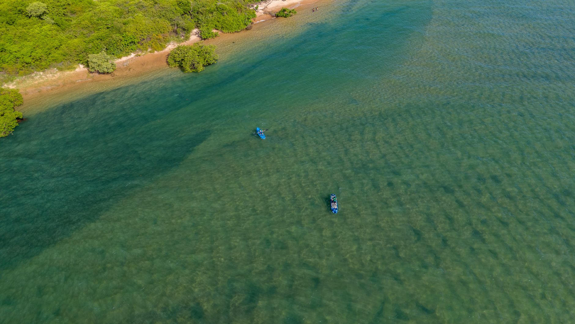
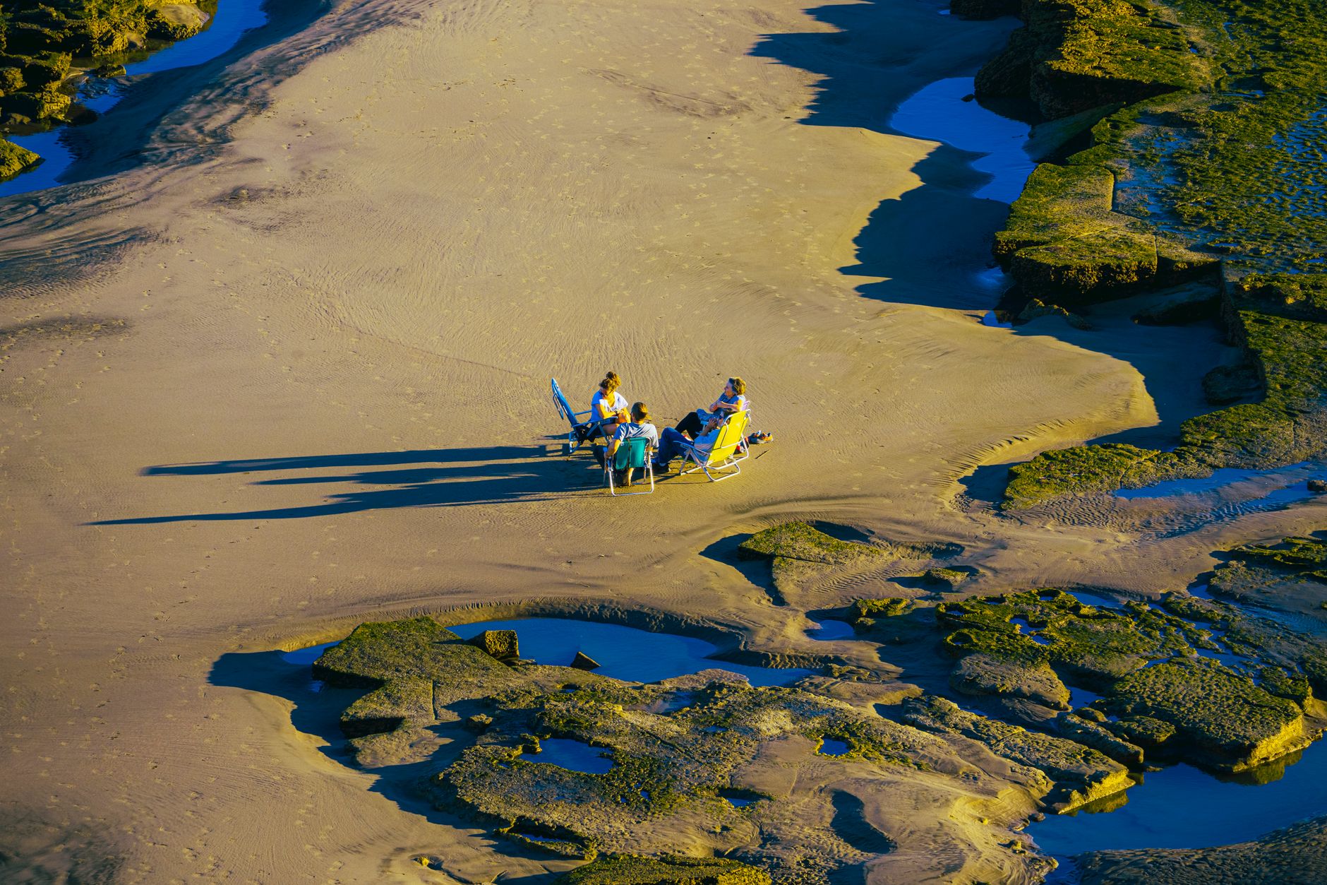
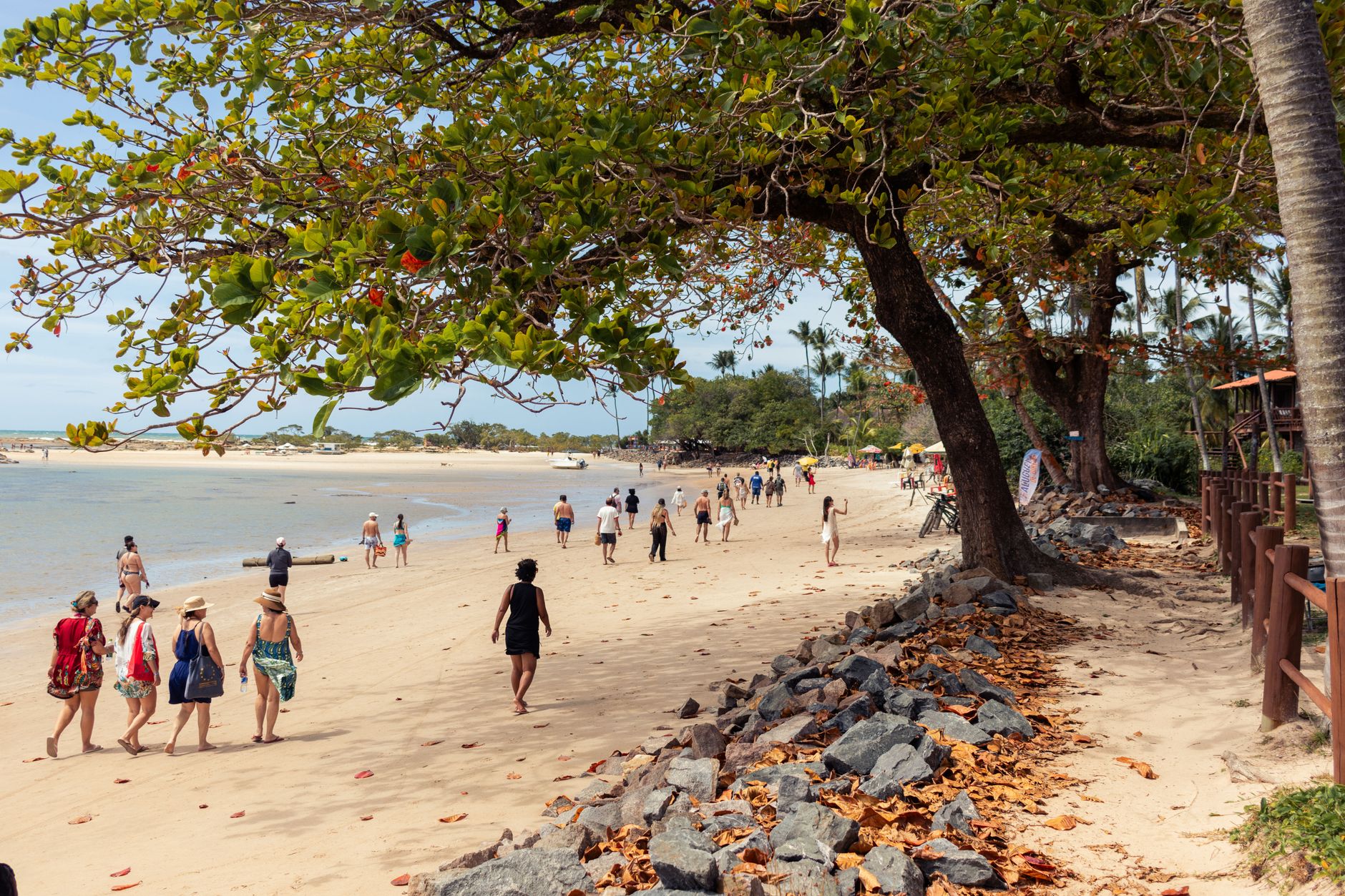
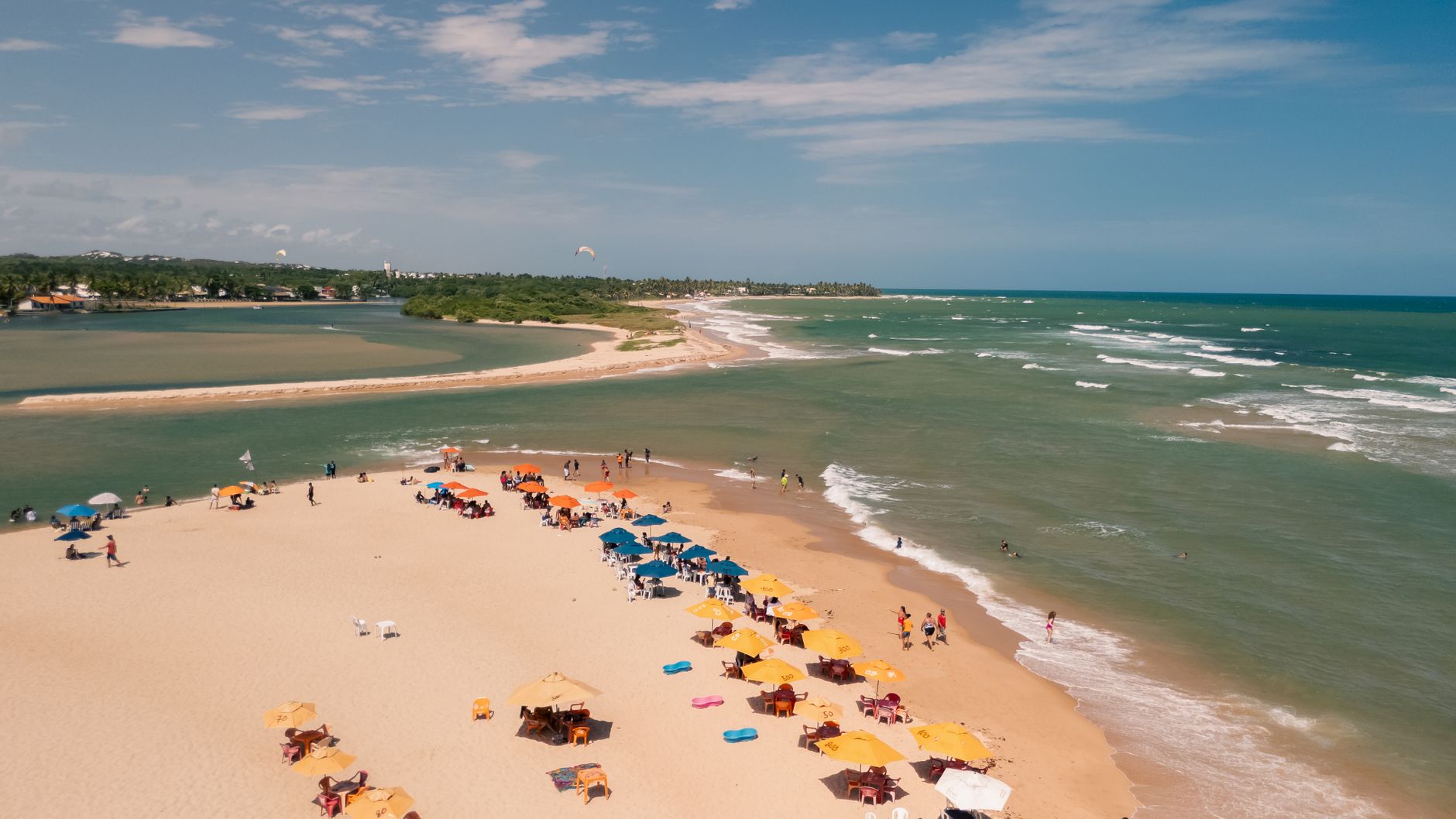
The pre-Hispanic Potón people called this place Xirihualtique — Bay of the Stars — and on a still morning, with mangrove silhouettes mirrored in the estuarine water and egrets lifting off the root tangles, the name still makes sense. Bahía de Jiquilisco is El Salvador's largest estuary, a 27-island mosaic of red, black, and white mangroves, open channels, and quiet fishing communities strung between Puerto El Triunfo and the San Juan de Gozo Peninsula.
This is where hawksbill turtles come to nest from May through September, where birdwatchers count species by the dozen from November onward, and where the best meal is often whatever came out of the water that morning, eaten at a waterfront table in Puerto El Triunfo with a view straight across the bay.
How Bahía de Jiquilisco came to be
Spanish navigator Andrés Niño sailed into this bay in 1522 and named it Bahía del Espíritu Santo. The name Jiquilisco came later, from the Nahuatl for 'place of the cultivators of indigo' — a clue to the agricultural economy that would shape the region for centuries. By 1533, the sheltered waters were already put to practical use: the municipality of Concepción Batre hosted shipbuilding operations here through 1539, making the bay one of the earliest sites of colonial maritime construction in Central America.
Jiquilisco grew slowly, receiving its village title in 1874 and city status in 1920. Its ecological significance took longer for the wider world to register: the bay was designated a Ramsar Wetland of International Importance on October 31, 2005, and a UNESCO Biosphere Reserve in 2007.
Who and what shaped it
Landmark buildings
See Bahía de Jiquilisco in motion
Plan your visit
On the map
When to go
The dry season, November through April, offers clear skies and the easiest conditions for boat travel, with daytime temperatures around 31–34°C and almost no rain in January. The wet season, May through October, is hotter and considerably wetter — September alone averages 357 mm — but the mangroves are at their densest and the turtle nesting program is in full swing.
Right now
Background & history adapted from Wikipedia (CC BY-SA) · specs from Wikidata (CC0) · weather from Open-Meteo · map data © OpenStreetMap contributors · photos from Wikimedia Commons / Unsplash with per-image credit. No third-party reviews or social posts reproduced.