
Playa El Tunco
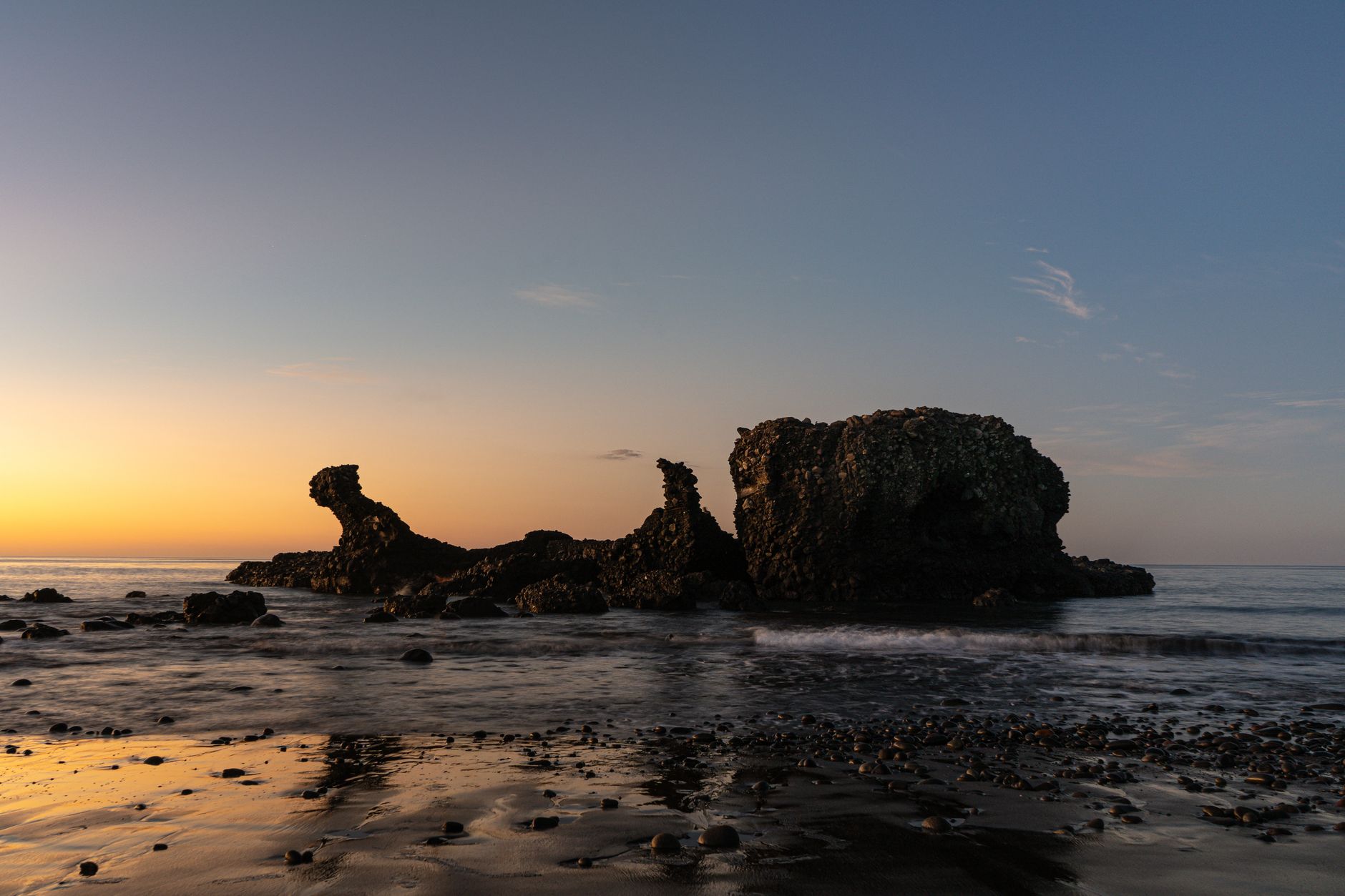
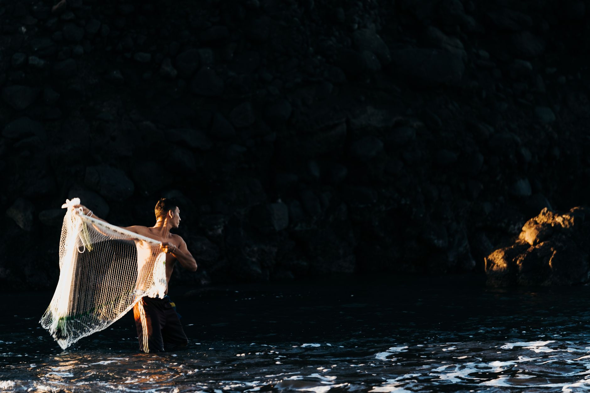
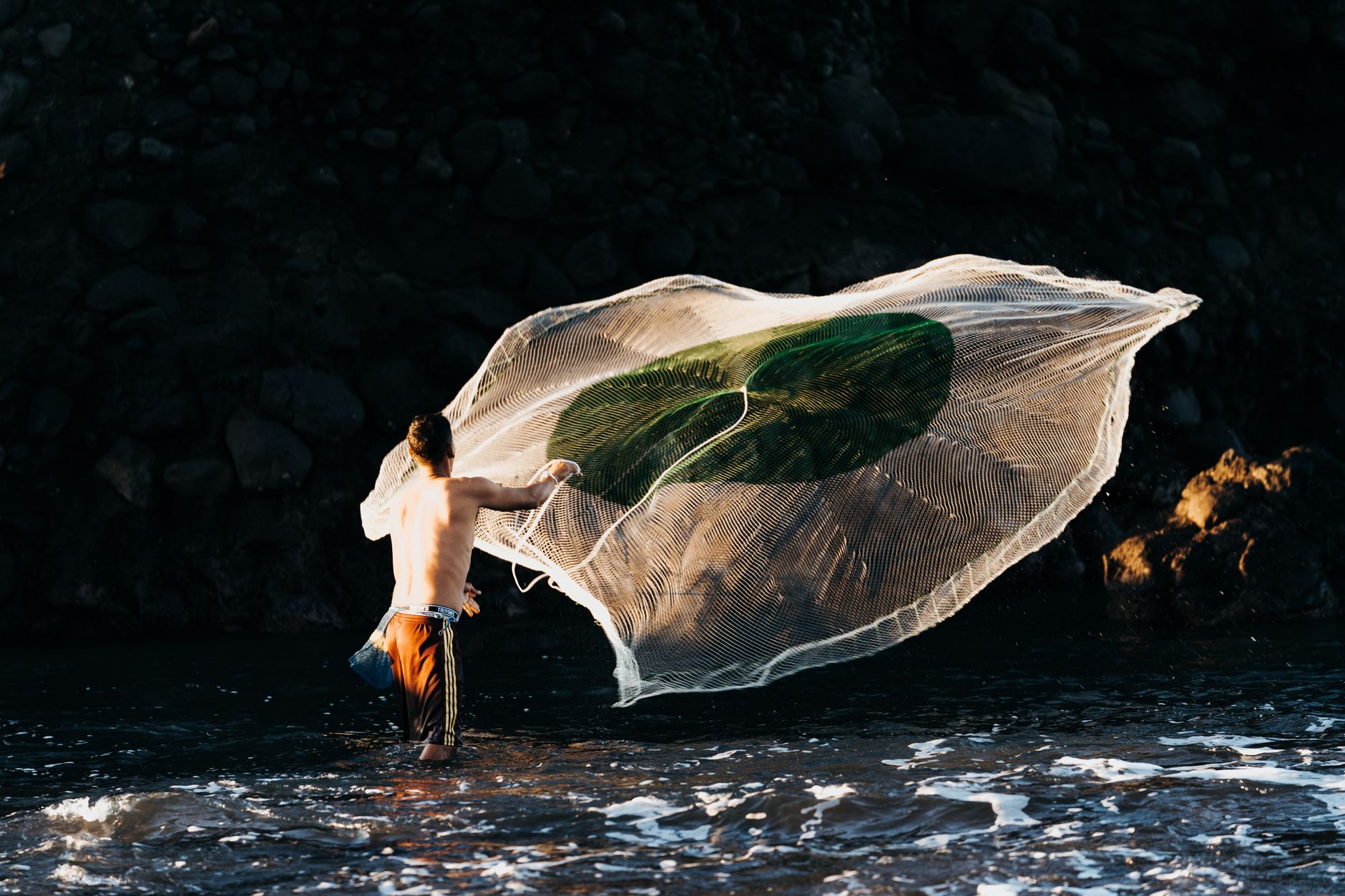
The name comes from a volcanic rock sitting just offshore — dark, rounded, legs-up, unmistakably pig-shaped. That rock tells you something about El Tunco: a place that doesn't take itself too seriously, built on black sand and grey tide-shifted stones, where two streets hold everything you need and a surf rental costs less than dinner.
This is the Pacific Coast's most accessible beach town, forty minutes from the capital by car or an hour on the $1.50 bus from Simón Bolívar Park. The malecón runs along a recently built boardwalk, pupusas appear here at midday when most of the country saves them for evening, and the street art going up around town — murals commissioned from local artists — is slowly turning the walls into a portrait of the place itself.
💛 What travellers fall for
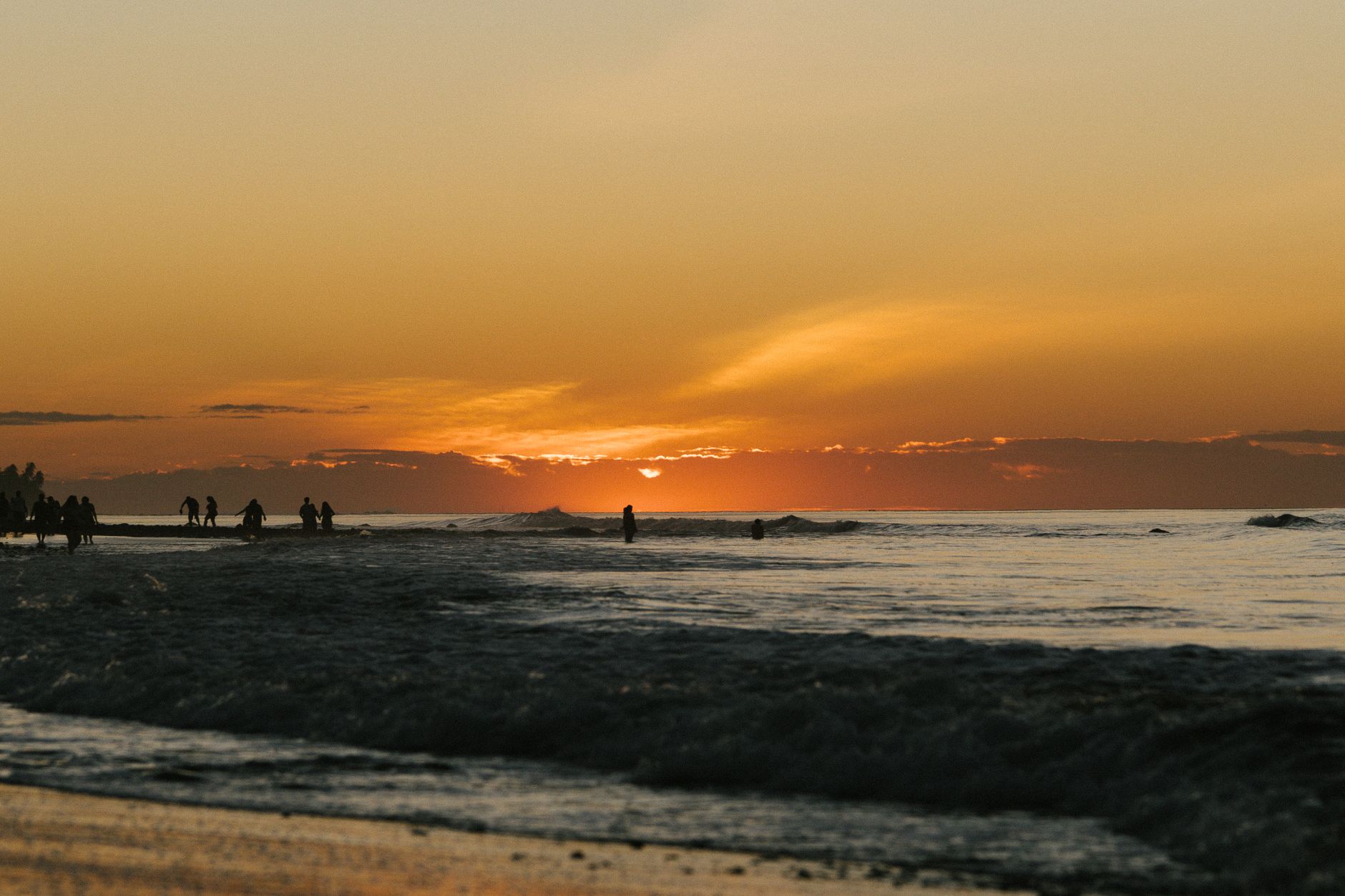
People who come back tend to time it carefully: arrive Sunday evening, stay through Thursday. The weekend crowds thin out and the town returns to something quieter. The caves east of the main beach are worth the low-tide walk. For sunset, skip the end of the main street and find the El Tunco sign to the south — fewer people, same sky.
How Playa El Tunco came to be
El Tunco takes its name from local slang for pig — a nod to the offshore volcanic rock formation that, from the right angle, looks like a hog rolled onto its back with all four legs in the air. The rock predates the town's identity as a surf destination; the beach itself was shaped long before anyone thought to rent boards here.
The infrastructure has grown incrementally. A malecón with kiosks and small restaurants arrived as part of Chinese-linked port development investment in the area. In June 2012, Andy Newbom — a former California coffee importer and roaster — opened a micro-brewery on the beach in front of Hotel Mopelia, an early signal of the kind of small, owner-run businesses that would define the town's character. A community vehicle fee, collected on weekends, funds daily street cleaning, a police station, and a network of surveillance cameras.
Who and what shaped it
People who shaped it
Landmark buildings
See Playa El Tunco in motion
Plan your visit
On the map
When to go
Temperatures hold steady between 29°C and 32°C year-round, with ocean water rarely dropping below that range. The dry season — November through April — brings the clearest skies and the smallest crowds; if you're here to surf seriously, the wet season (May through October) delivers the larger swells, with rain that typically comes in afternoon bursts rather than all day.
Right now
Background & history adapted from Wikipedia (CC BY-SA) · specs from Wikidata (CC0) · weather from Open-Meteo · map data © OpenStreetMap contributors · photos from Wikimedia Commons / Unsplash with per-image credit. No third-party reviews or social posts reproduced.