
Perquín
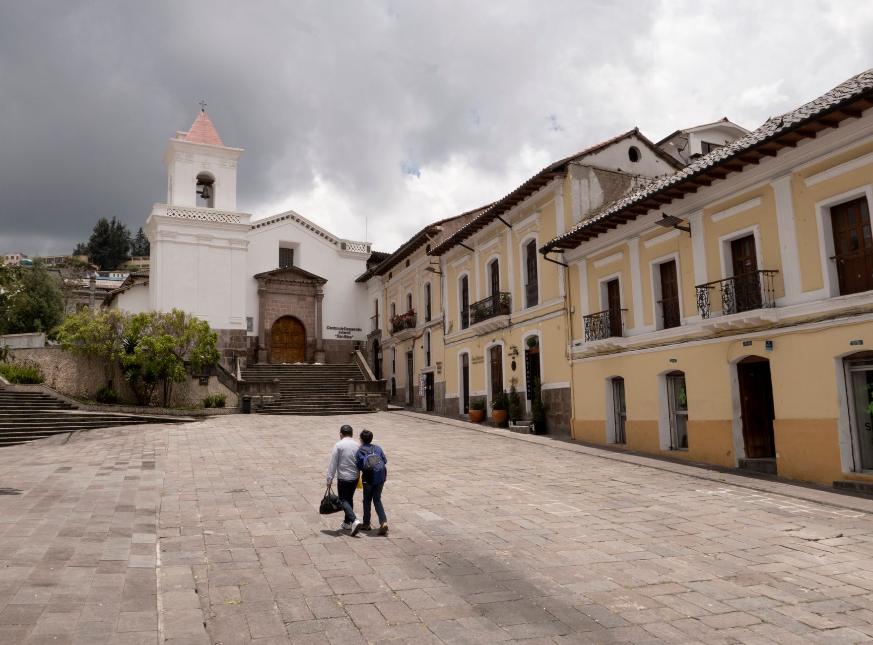
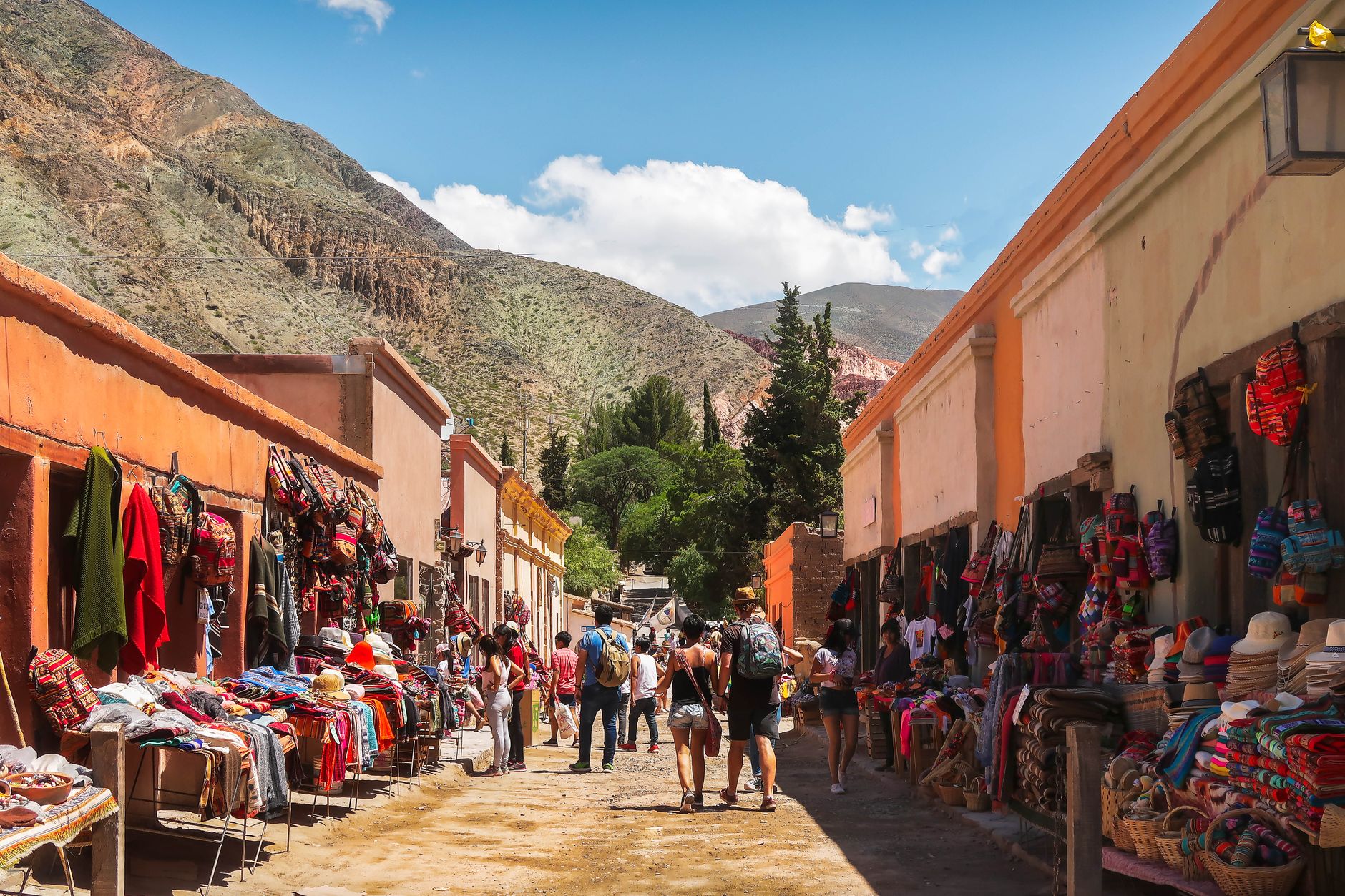
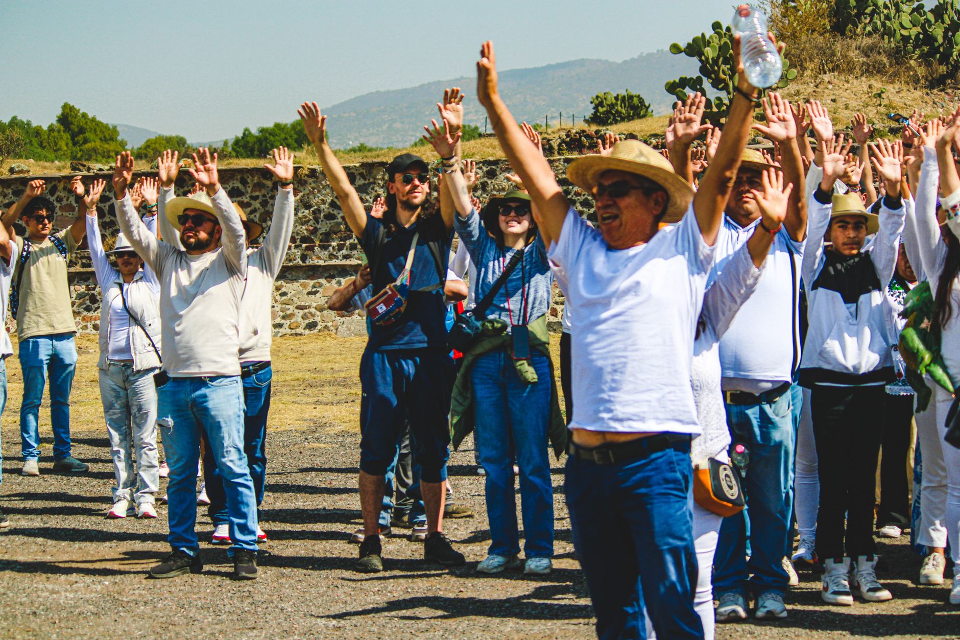
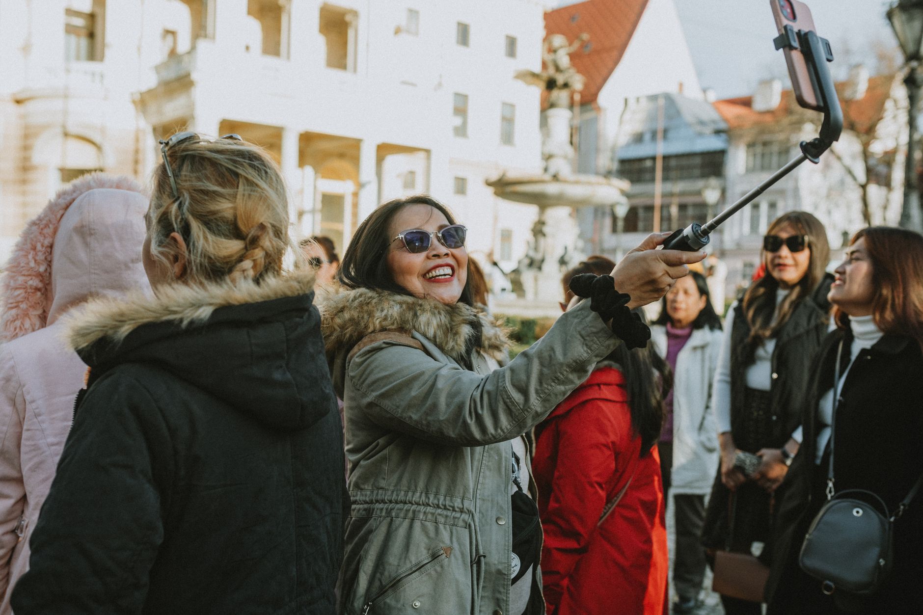
The name Perquín comes from a Lenca phrase meaning 'path of hot coal,' which tells you something about the terrain — and, in a way, about the town's temperament. Sitting at around 1,200 metres in the Morazán mountains of northeastern El Salvador, it is cooler than the coast and quieter than the capital, with pine forests pressing in from the north and east, murals covering the walls near the church, and coffee grown on slopes high enough to slow the beans down.
Perquín earned its place in modern history as a stronghold of the FMLN during the Salvadoran Civil War, and that past is neither buried nor performed — it lives in the murals, in the museum, in the faces of people who were there. Come for the landscape; stay because the history is told honestly.
How Perquín came to be
Long before the colonial period, the Lenca were here. By the late eighteenth century, the town carried the formal name Our Lady of the Assumption of Perquín, and in 1836 it was incorporated into the Osicala district by law. For most of its existence it was a quiet mountain municipality.
That changed between 1980 and 1992, when the Salvadoran Civil War turned the surrounding mountains into a base of operations for the Farabundo Martí National Liberation Front. Radio Venceremos — a clandestine opposition station rebroadcast by shortwave across the world — transmitted from these hills. When the war ended, a group of ex-fighters founded the Museo de la Revolución Salvadoreña in 1992, determined that the conflict and its dead would not simply disappear into silence.
Who and what shaped it
Landmark buildings
See Perquín in motion
Plan your visit
On the map
When to go
At 1,200 metres, Perquín runs noticeably cooler than most of El Salvador — temperatures generally sit between 18°C and 26°C year-round. The dry season, November to April, is the clearest time to travel; the mountain roads and pine-forest trails are far more manageable than in the rain-heavy summer months.
Right now
Background & history adapted from Wikipedia (CC BY-SA) · specs from Wikidata (CC0) · weather from Open-Meteo · map data © OpenStreetMap contributors · photos from Wikimedia Commons / Unsplash with per-image credit. No third-party reviews or social posts reproduced.