
Lago de Coatepeque
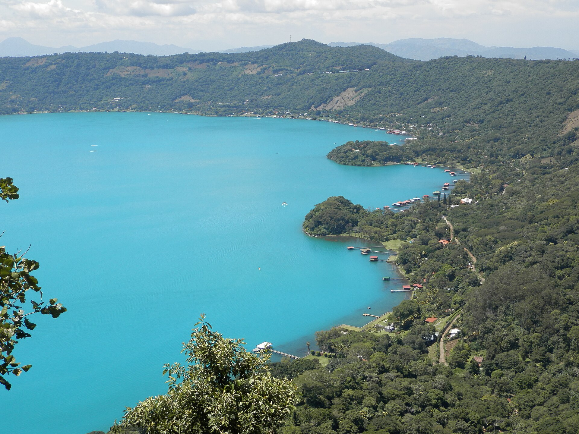
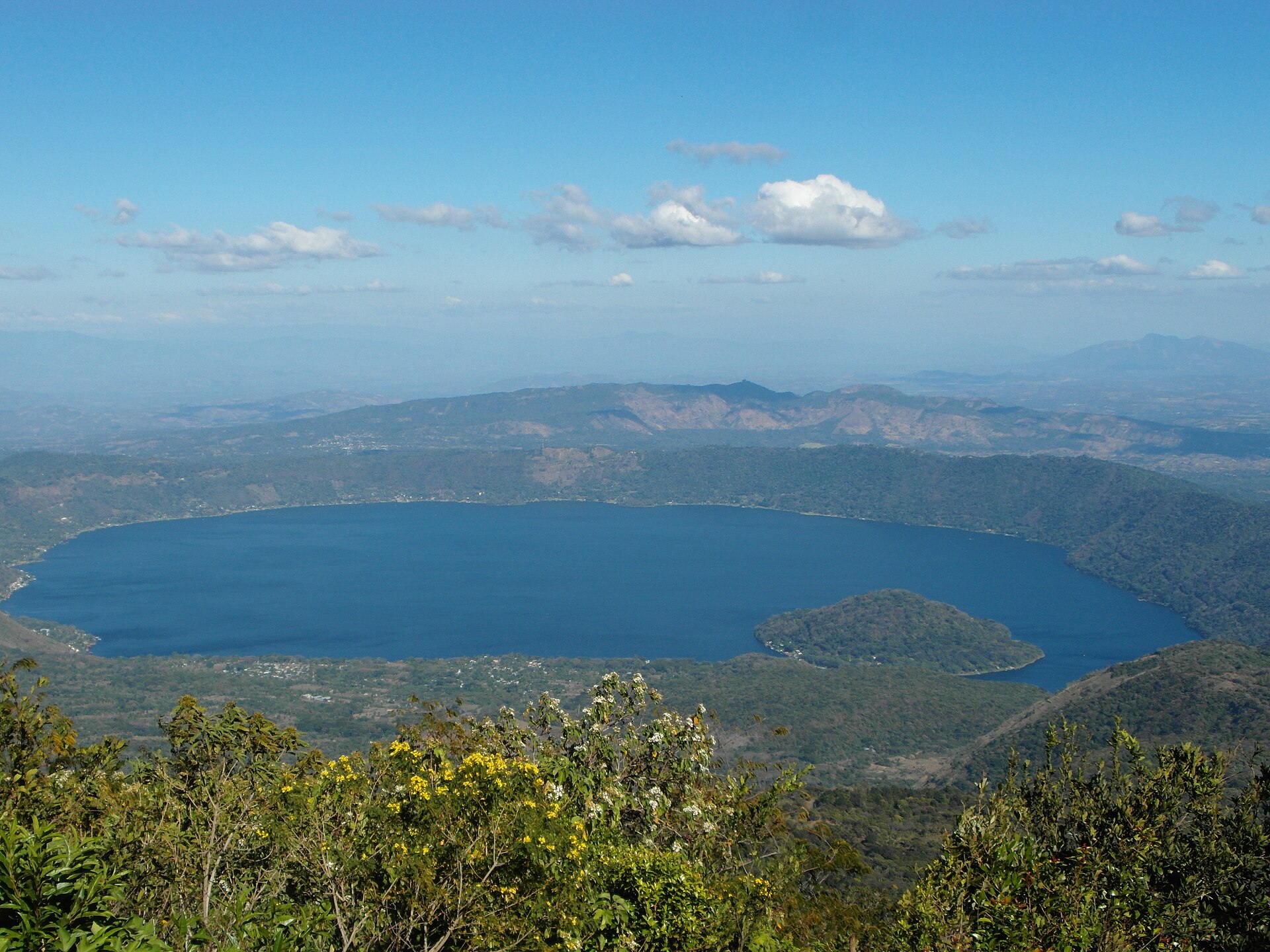
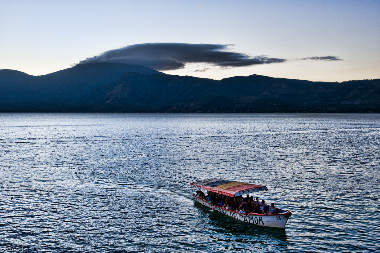
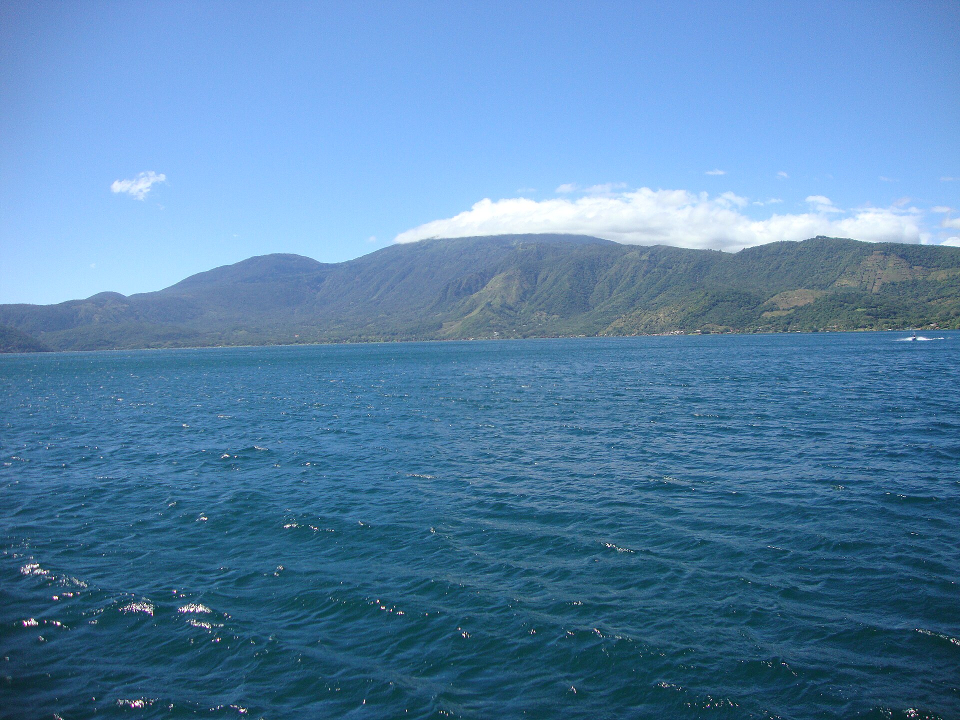
The lake sits inside a caldera — a collapsed volcanic crater — and the water holds that origin in its color. On certain mornings it reads deep turquoise; on others, almost transparent green. Scientists have tracked the color shifting dramatically, sometimes within days, and still can't fully explain it. Volcanic sediment, algae, minerals, seasonal rain: all suspects, no verdict.
At roughly 740 metres above sea level and about 12 kilometres from Santa Ana, Coatepeque is the kind of place where the geology is still doing something. Hot springs seep along the shoreline. Submerged lava domes break the surface by twenty metres or so. Isla del Cerro — a post-caldera dome that became an island — sits in the western end, carrying a longer Mayan history beneath its current quietness.
💛 What travellers fall for
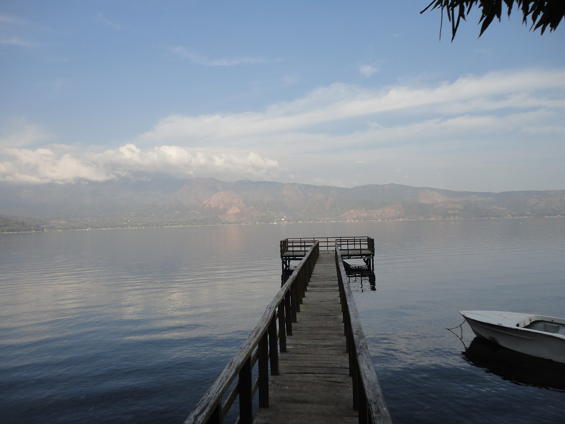
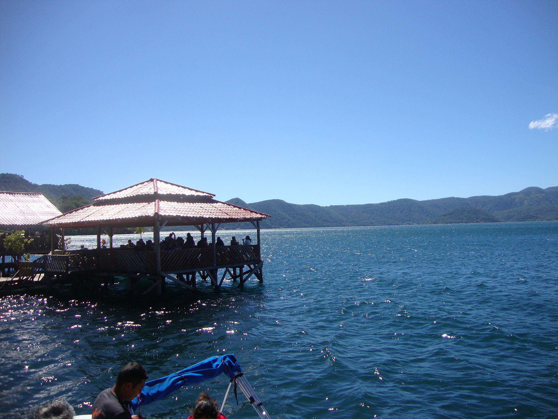
People who come back tend to time it for a weekday. The shoreline open to the public is a narrow stretch — maybe 500 metres — and on weekends it fills fast with boats, music, and families from the capital. Come Tuesday or Wednesday and you get the water to yourself. Fried fish and pupusas de pescaditas at one of the shoreline restaurants, then a boat out toward Los Anteojos domes.
How Lago de Coatepeque came to be
The caldera formed somewhere between 57,000 and 72,000 years ago through a series of rhyolitic explosive eruptions powerful enough to collapse the ground inward. What followed, over thousands of years, were smaller volcanic events: basaltic cinder cones near the western edge, six rhyodacitic lava domes rising within the caldera, and finally Cerro Pacho — the youngest dome — forming after 8000 BC. The lake that filled the depression has been geologically quiet through the Holocene, no recorded eruptions in over 11,000 years.
Long before the resorts arrived, the lake held ritual significance for Maya communities — though the specific ceremonies and their dates remain unverified in the historical record. The visible remnant of that deeper history is Isla del Cerro (also called Isla Teopán), the lava dome island in the western part of the lake, which carries Mayan associations that archaeology has not yet fully documented.
Who and what shaped it
Landmark buildings
See Lago de Coatepeque in motion
Plan your visit
On the map
When to go
The dry season, November through April, brings mostly clear days, some wind, and warm temperatures that generally stay between the low 60s and high 80s Fahrenheit. Wet season runs May through October — expect overcast skies, humidity, and heavy rain in September and October; nights and storms can turn cool enough that a layer is worth packing.
Right now
Background & history adapted from Wikipedia (CC BY-SA) · specs from Wikidata (CC0) · weather from Open-Meteo · map data © OpenStreetMap contributors · photos from Wikimedia Commons / Unsplash with per-image credit. No third-party reviews or social posts reproduced.