
Tazumal
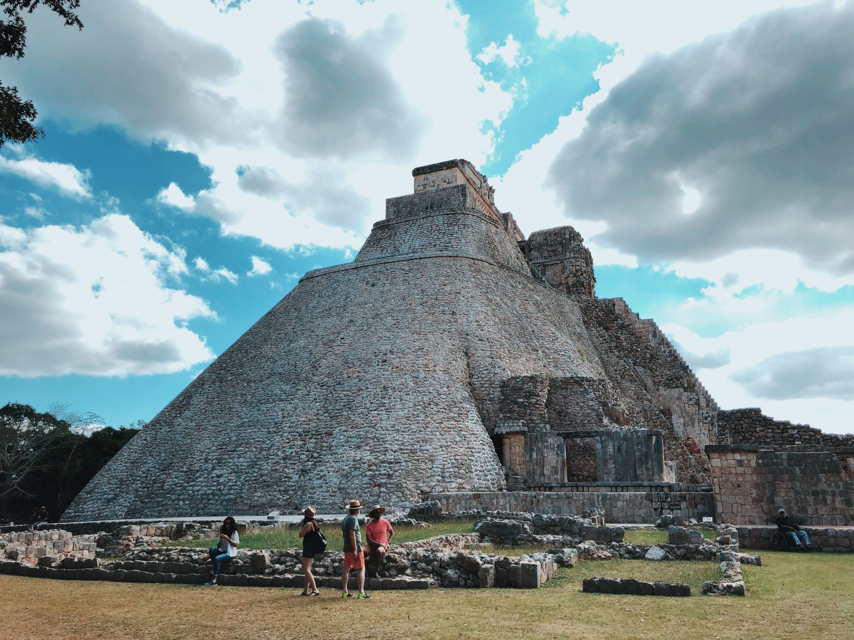

The main pyramid at Tazumal rises more than 24 metres out of the western Salvadoran highlands, its cement-coated flanks a little blunt against the sky — an honest reminder that mid-20th-century archaeology was not always gentle with what it found. The site sits just outside Chalchuapa, 80 kilometres from San Salvador, and it rewards the hour or so you'll spend walking it with a genuine sense of deep time: people built, abandoned, and rebuilt here from the first century CE through to around 1200 AD.
At its height, Tazumal traded ideas and influence with the Maya city of Kaminaljuyu and, through it, with Teotihuacan far to the north. A ball court, house mounds, and the Stanley Boggs Museum — where gold ornaments made by the lost-wax method and a striking sculpture of Xipe Totec wait in cases — fill out the picture beyond the pyramid itself.
How Tazumal came to be
People were living and building at Tazumal from the Late Preclassic period, but the site's trajectory was violently interrupted when the Ilopango volcano erupted roughly 75 kilometres to the east, halting construction for what may have been several generations. When activity resumed in the Early to Middle Classic (c. AD 250–650), Tazumal had developed strong ties with Kaminaljuyu in the Valley of Guatemala, making it a relay point for the cultural reach of Teotihuacan into Pacific coastal Mesoamerica. Ceramics show unbroken occupation through to around AD 1200.
The site was declared a National Historic Monument in 1947. Between 1942 and 1944, archaeologist Stanley Boggs excavated and restored the main structures, encasing them in cement — a decision that shaped how Tazumal looks today. In 2004 part of Structure B1-2 collapsed, prompting CONCULTURA to begin stabilisation work that continues to define the site's ongoing story.
Who and what shaped it
People who shaped it
Landmark buildings
See Tazumal in motion
Plan your visit
On the map
When to go
Chalchuapa splits into two distinct seasons: a hot, humid dry season with clear skies, and a warm, overcast wet season that runs roughly May through October. The dry months are more comfortable for walking the open site, though the wet season brings lush surroundings and far fewer visitors.
Right now
Background & history adapted from Wikipedia (CC BY-SA) · specs from Wikidata (CC0) · weather from Open-Meteo · map data © OpenStreetMap contributors · photos from Wikimedia Commons / Unsplash with per-image credit. No third-party reviews or social posts reproduced.