
Parque Nacional El Imposible
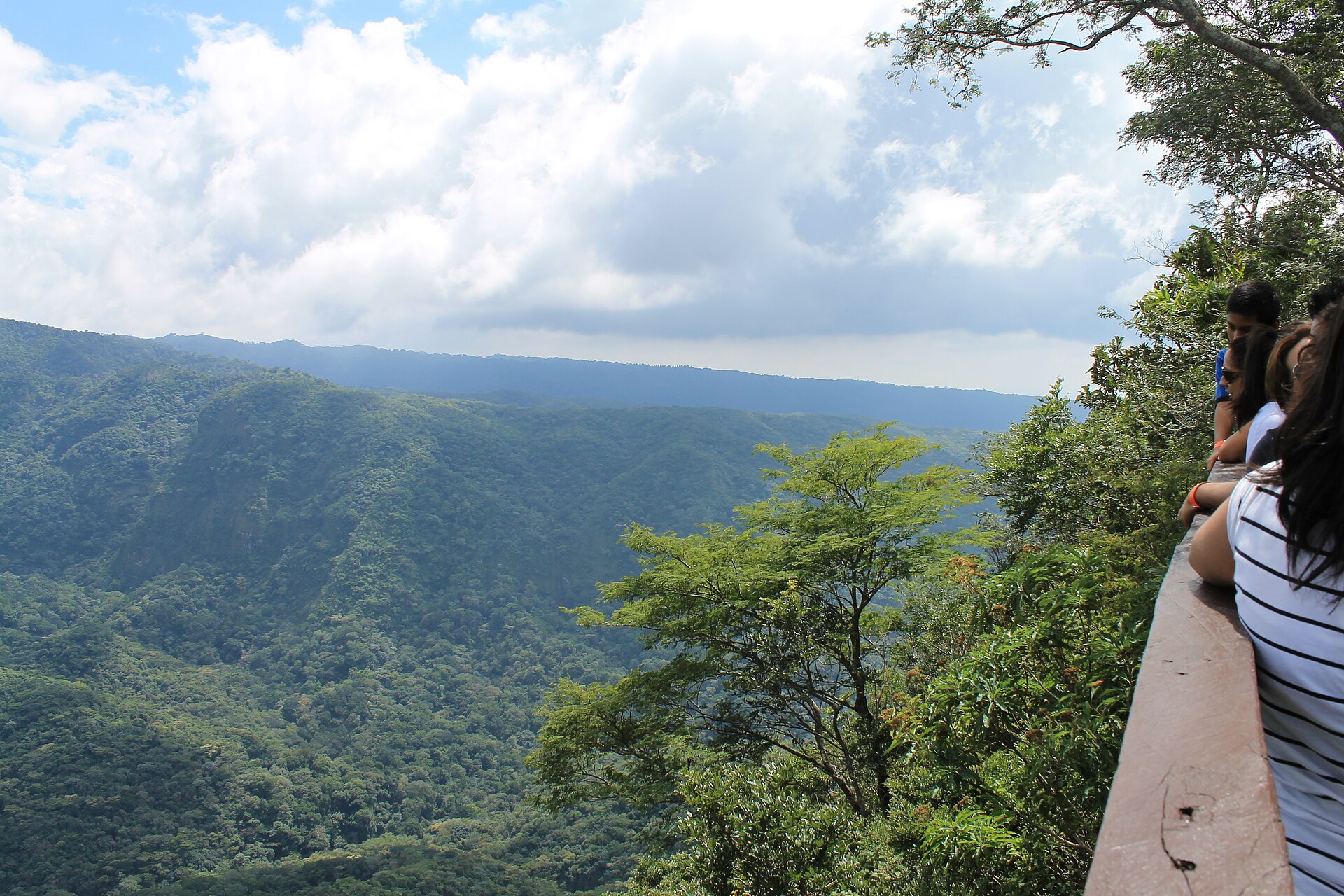

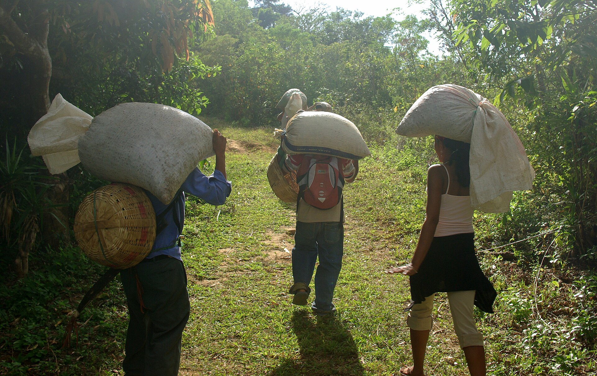
The park takes its name from a gorge that killed people. Farmers hauling coffee to the Pacific coast lost mules and sometimes their own footing on the descent; the pass was simply called El Imposible, and the name stuck. A bridge went up in 1968, the danger eased, and what remained was 38 square kilometres of forest that logging and agriculture never quite reached — one of the last intact patches of Pacific slope forest in Central America.
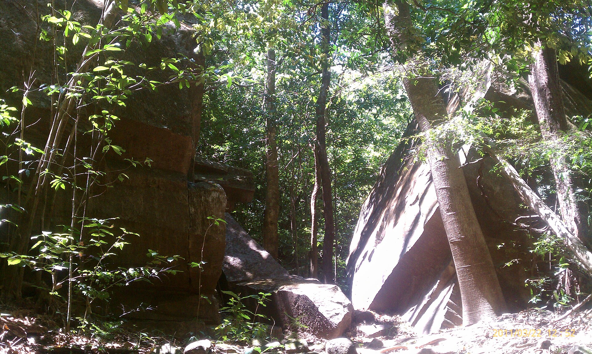
Today the trails run through shaded canopy, across stretches of the Guayapa River, and up to Cerro El León's open ridge. Between January and March, butterflies move through the air in numbers that stop you mid-step. Twelve trained guides staff the park; you won't walk any of it alone.
💛 What travellers fall for
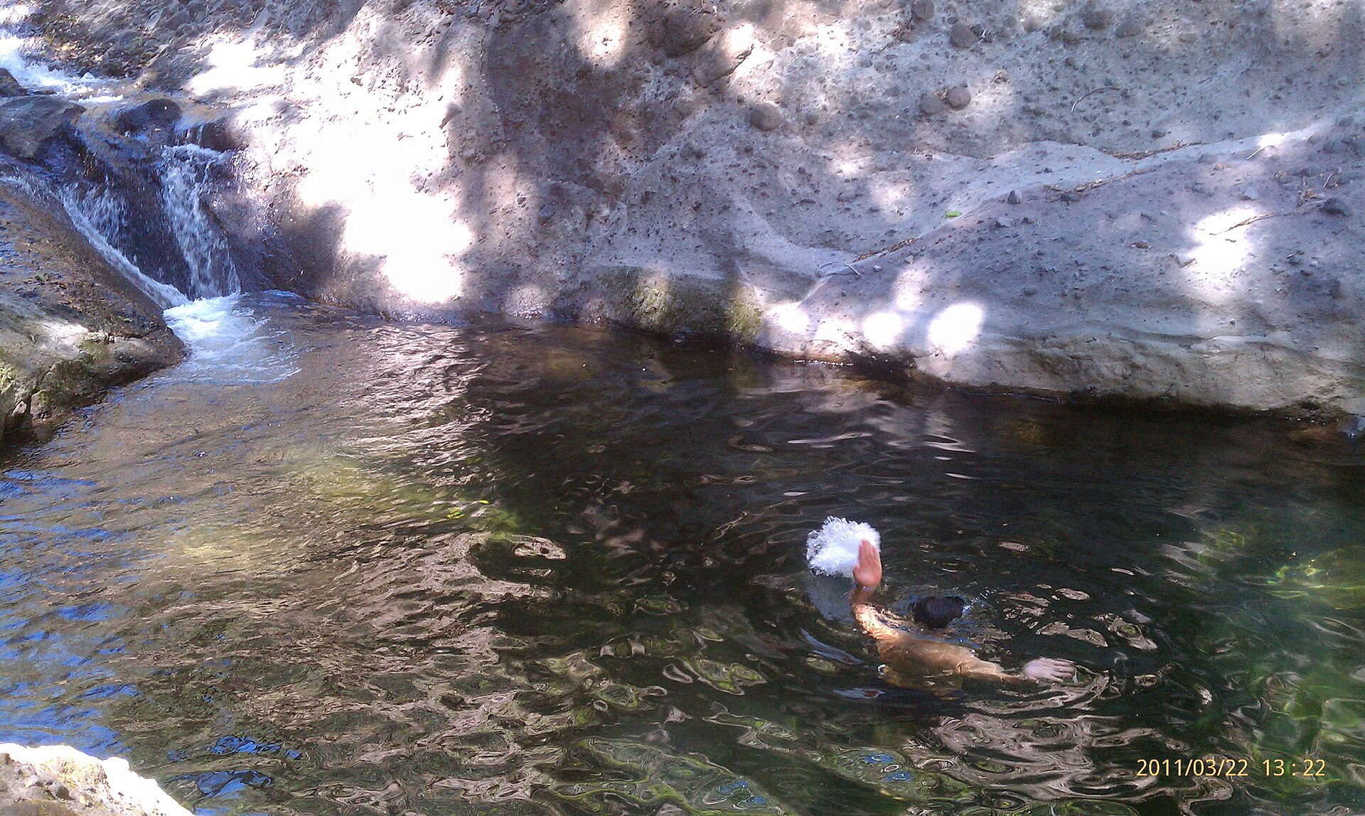
People who come back tend to time it for the Guayapa's dry-season pools — the Los Enganches sector, where the river smooths into polished slabs and still water. Bring more food than you think you need; there's nothing inside the park and only a small store by the entrance museum. Start at 7:30 when the gate opens, before the midday heat builds on the slopes.
How Parque Nacional El Imposible came to be
The gorge that gave the park its name was a working hazard for generations of coffee farmers moving their harvest toward the Pacific. The terrain was steep enough that pack mules regularly fell; the pass earned its blunt reputation honestly. In 1968 a bridge was constructed at the crossing, and someone mounted a plaque that read: "The year 1968: No longer is it impossible."
The park itself was formally established on 1 January 1989, protecting the surrounding forest under Salvadoran law. Two years later, the state handed administration to SalvaNatura, an independent conservation organization that continues to run the park today — training guides, maintaining the Mixtepe Museum at the San Benito entrance, and managing the trails that now cross the same ground the coffee carriers once feared.
Who and what shaped it
Landmark buildings
See Parque Nacional El Imposible in motion
Plan your visit
On the map
When to go
The dry season, November through April, is the practical window: trails are firm, the Guayapa forms its clearest pools, and the forest fills with butterflies through early spring. Wet season afternoons bring near-daily thunderstorms, rivers can rise fast enough to close trail crossings, and the clay paths turn slick — possible, but ask your guide about conditions before setting out.
Right now
Background & history adapted from Wikipedia (CC BY-SA) · specs from Wikidata (CC0) · weather from Open-Meteo · map data © OpenStreetMap contributors · photos from Wikimedia Commons / Unsplash with per-image credit. No third-party reviews or social posts reproduced.