
Volcán Santa Ana (Ilamatepec)

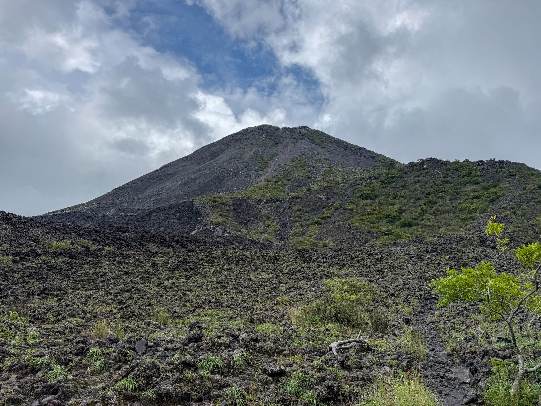
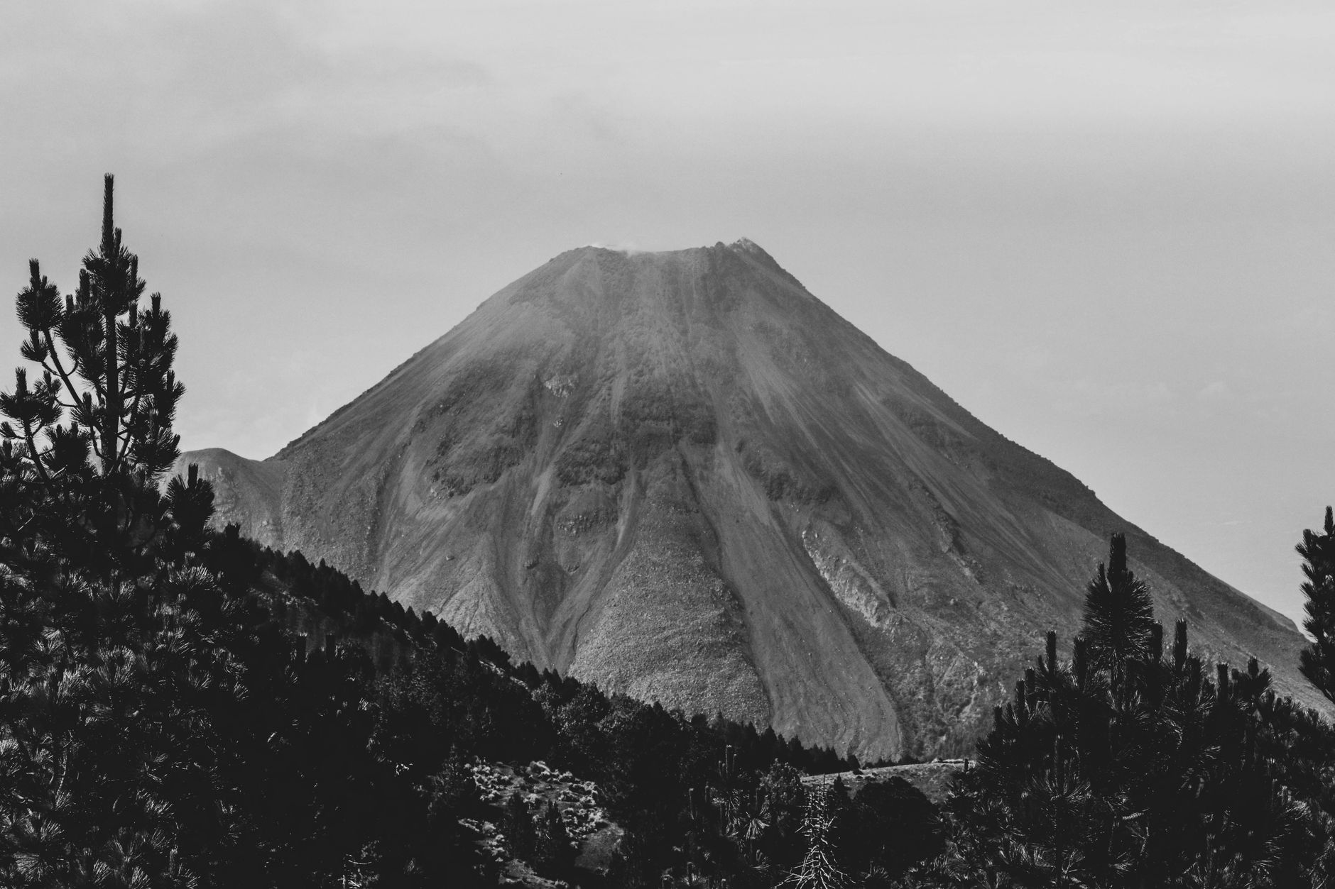
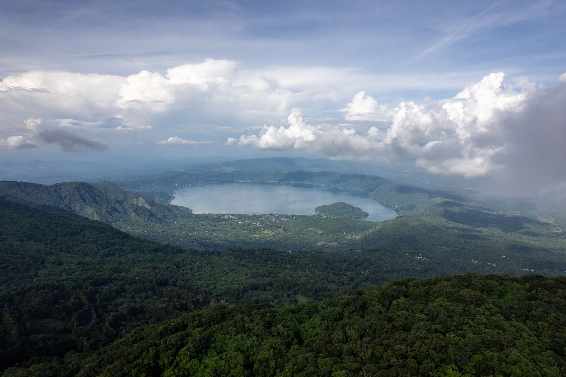
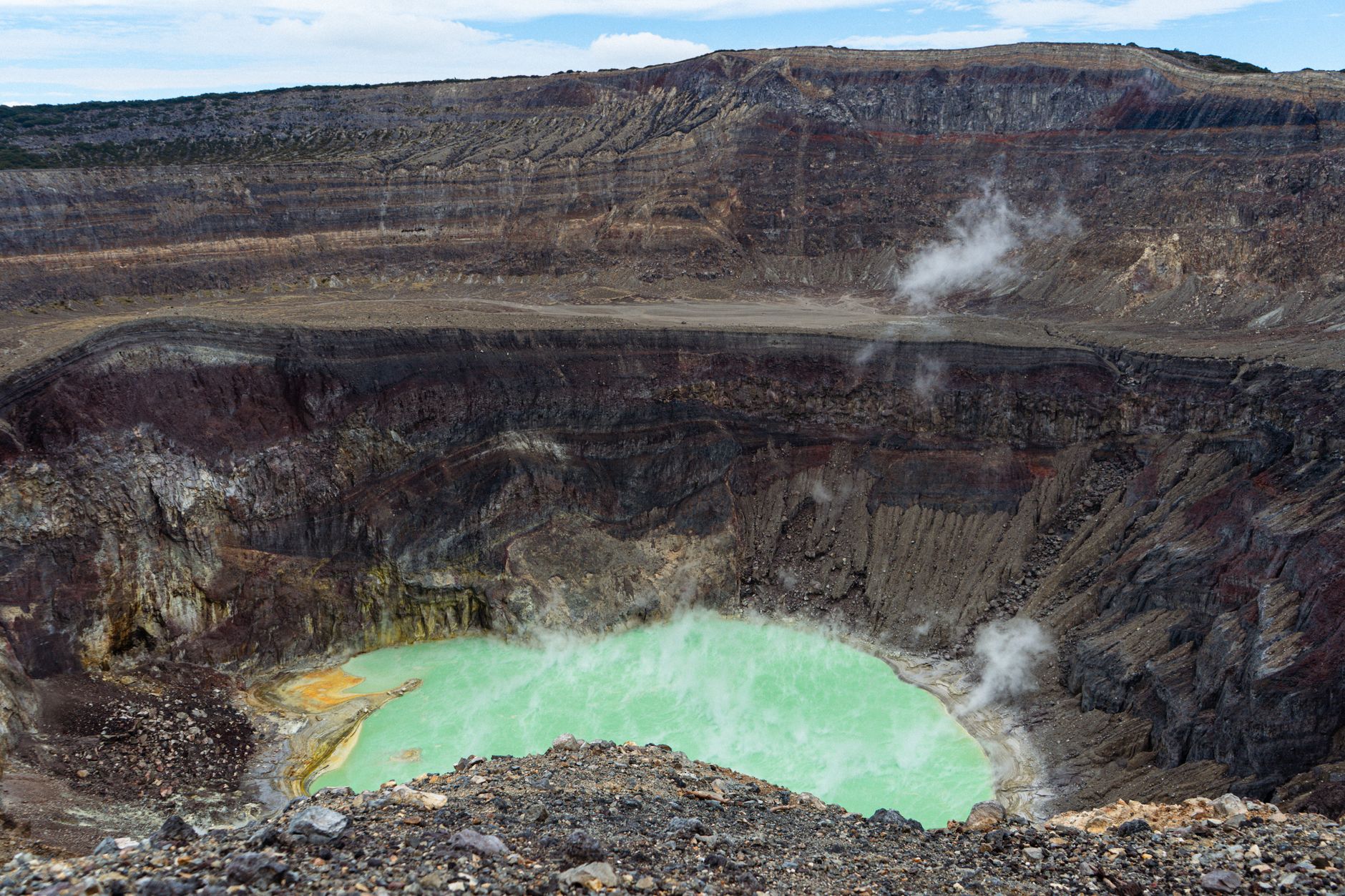
At 2,381 metres, Volcán Santa Ana — known by its Nahuatl name Ilamatepec, 'Hill of the Old Woman' — is El Salvador's highest volcano, and its crater holds one of the more quietly arresting sights in Central America: a small acidic lake of improbable turquoise, rimmed by sulphurous rock and four nested calderas stacked inside one another like geological memory. The air at the edge smells of rotten eggs and the ground occasionally hisses.
The hike begins in Cerro Verde National Park, dropping through cloud forest on roughly 650 steps before the trail opens onto exposed volcanic terrain and the long, steady push to the summit. The whole route runs about 12 kilometres return, and a local guide — required by park policy — leads the way.
How Volcán Santa Ana (Ilamatepec) came to be
The volcano has been building for roughly two million years. Since 1521, at least twelve eruptions have been recorded — an average of one every 42 years. A notable earlier event: in 1722, the San Marcelino cinder cone on the southeastern flank sent a lava flow 13 kilometres eastward. The mountain then stayed quiet for long stretches; its most recent eruption before the modern era was in 1904.
On the morning of October 1, 2005, at 8:20 am, Santa Ana erupted without extended warning, sending a column of ash and gas 10 kilometres into the sky and ejecting rocks the size of cars more than 1.5 kilometres from the summit. Two people died, likely from a boiling lahar, and thousands were evacuated. The turquoise crater lake that draws hikers today is itself a product of that ongoing geothermal restlessness.
Who and what shaped it
People who shaped it
Landmark buildings
See Volcán Santa Ana (Ilamatepec) in motion
Plan your visit
On the map
When to go
The dry season (November to April) is the reliable window for hiking — skies are clearer and the trail less treacherous, though summit temperatures can still drop sharply with wind. In the rainy season (May to October), heavy rain typically falls overnight or after midday, so an early start can still yield a clear crater view, though fog at the summit is common and the lake sometimes disappears entirely into cloud.
Right now
Background & history adapted from Wikipedia (CC BY-SA) · specs from Wikidata (CC0) · weather from Open-Meteo · map data © OpenStreetMap contributors · photos from Wikimedia Commons / Unsplash with per-image credit. No third-party reviews or social posts reproduced.