
Cerro Verde
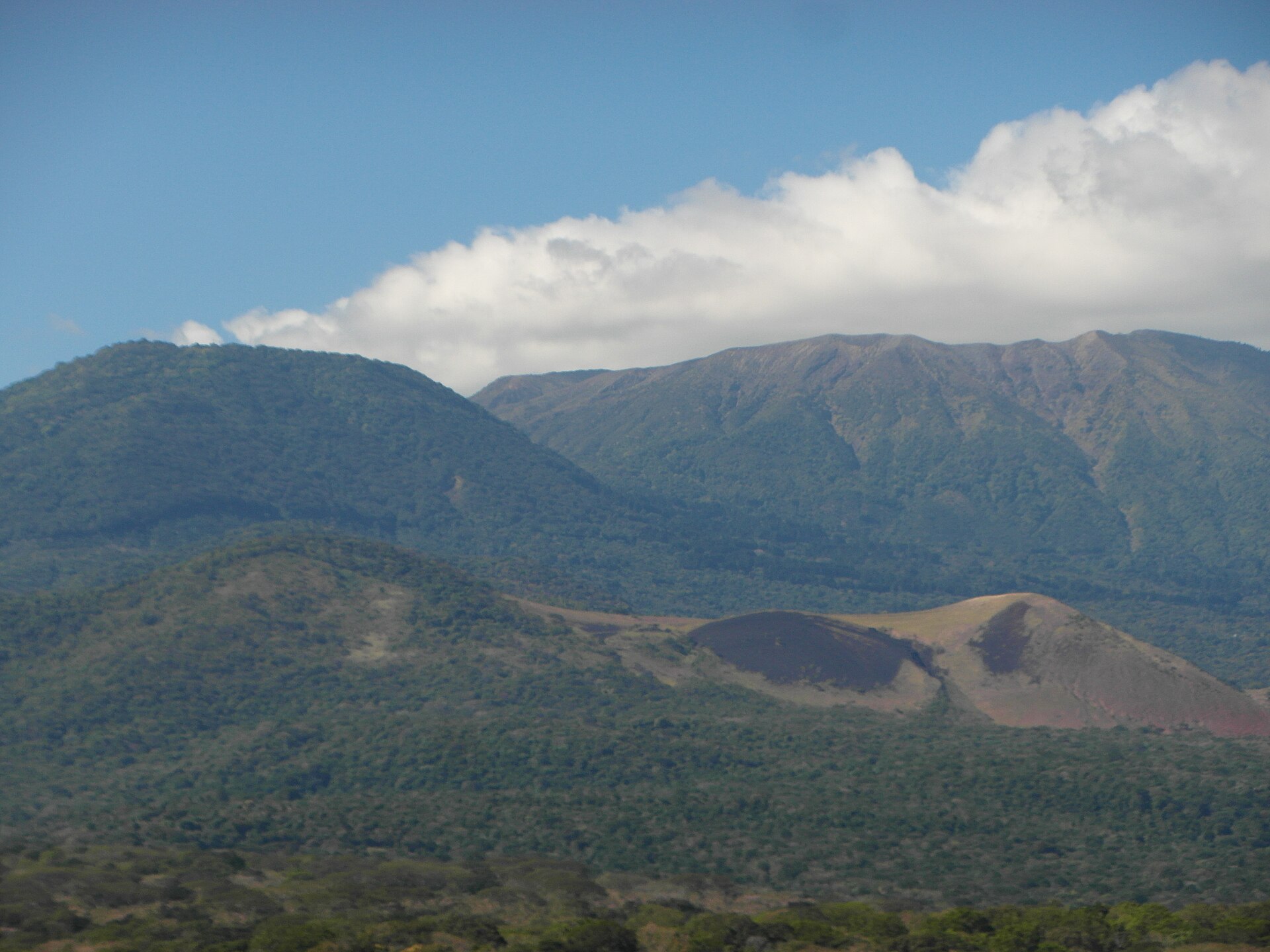
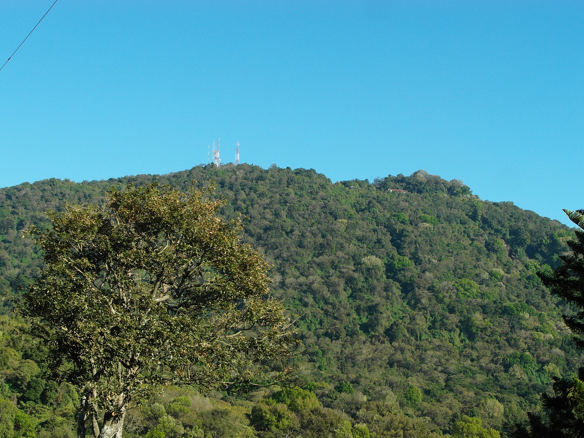
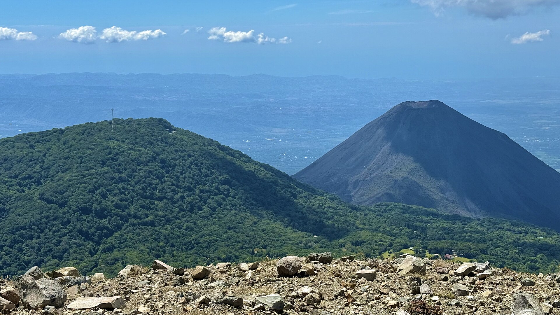
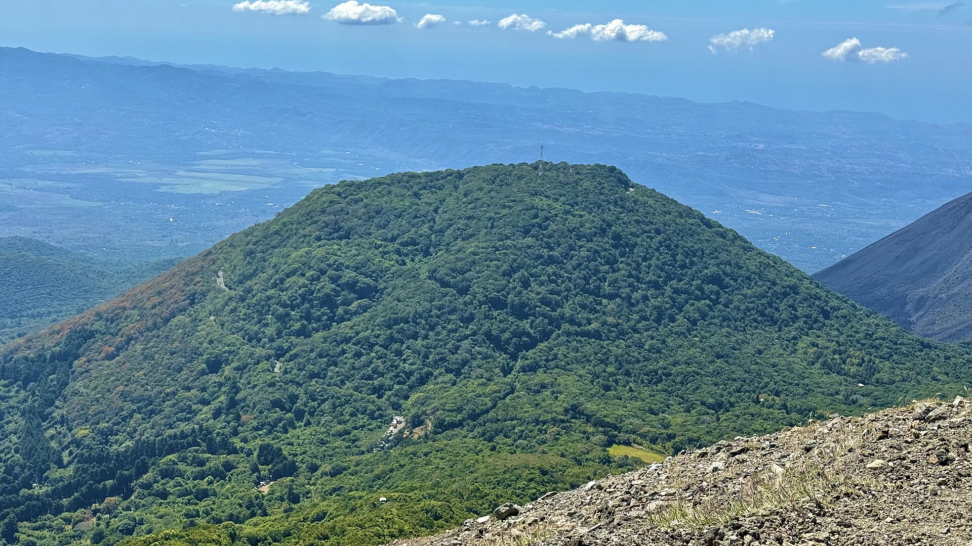
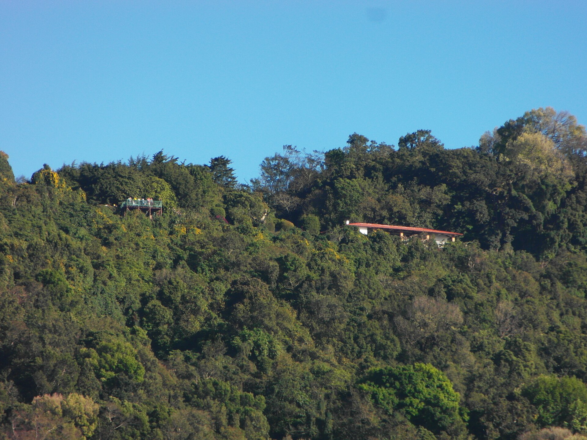
At 2,030 metres, Cerro Verde sits inside a cloud that doesn't entirely lift. The Nahuat called it Cuntetepeque — Mountain of Mists — and that name still earns its keep most mornings, when the nebulous forest drips and the canopy absorbs sound and you're suddenly very aware of how far you are from San Salvador's heat. From the viewpoint platforms built into the trees, two other volcanoes frame the scene: Izalco, historically nicknamed the Lighthouse of the Pacific, and the broader cone of Santa Ana rising to the west.
This is El Salvador's first national park, 37 hectares of preserved cloud forest where over 127 bird species have been recorded — among them the Guardabarranco, the country's national bird, and, on rarer days, the Resplendent Quetzal. Ocelots and white-tailed deer move through the undergrowth. The orchid garden is modest but genuine.
💛 What travellers fall for
People who come back tend to arrive early — the park opens at eight and guided ascents to the volcanoes begin at nine, but the light and the quiet belong to whoever gets there first. Layers matter more than most visitors expect: six degrees Celsius before the sun clears the ridge is a different proposition than the lowland heat you drove through to get here.
How Cerro Verde came to be
Cerro Verde was inaugurated as a national park in 1955 under Don Raúl Contreras, making it one of the first protected areas in El Salvador. The volcano itself is geologically ancient — formed roughly 1.5 million years ago, with its last eruption estimated around 25,000 years before the park's founding. It's also listed under the broader designation Parque Nacional Los Volcanes, which encompasses the surrounding volcanic complex.
The Nahuat name, Cuntetepeque, predates all of that by centuries and describes the place more accurately than any official designation: a mountain that draws cloud and holds it.
Who and what shaped it
People who shaped it
Landmark buildings
See Cerro Verde in motion
Plan your visit
On the map
When to go
Mornings at the summit can drop to 6–8°C year-round, so a jacket is not optional. The rainy season peaks in September and October, when trails can be slick and cloud cover persistent; the dry months of January through April offer cleaner sightlines, though February to April bring the most heat in the lowlands on the drive up.
Right now
Background & history adapted from Wikipedia (CC BY-SA) · specs from Wikidata (CC0) · weather from Open-Meteo · map data © OpenStreetMap contributors · photos from Wikimedia Commons / Unsplash with per-image credit. No third-party reviews or social posts reproduced.