
Ruta de las Flores
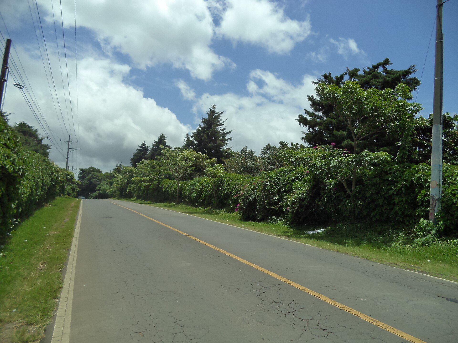
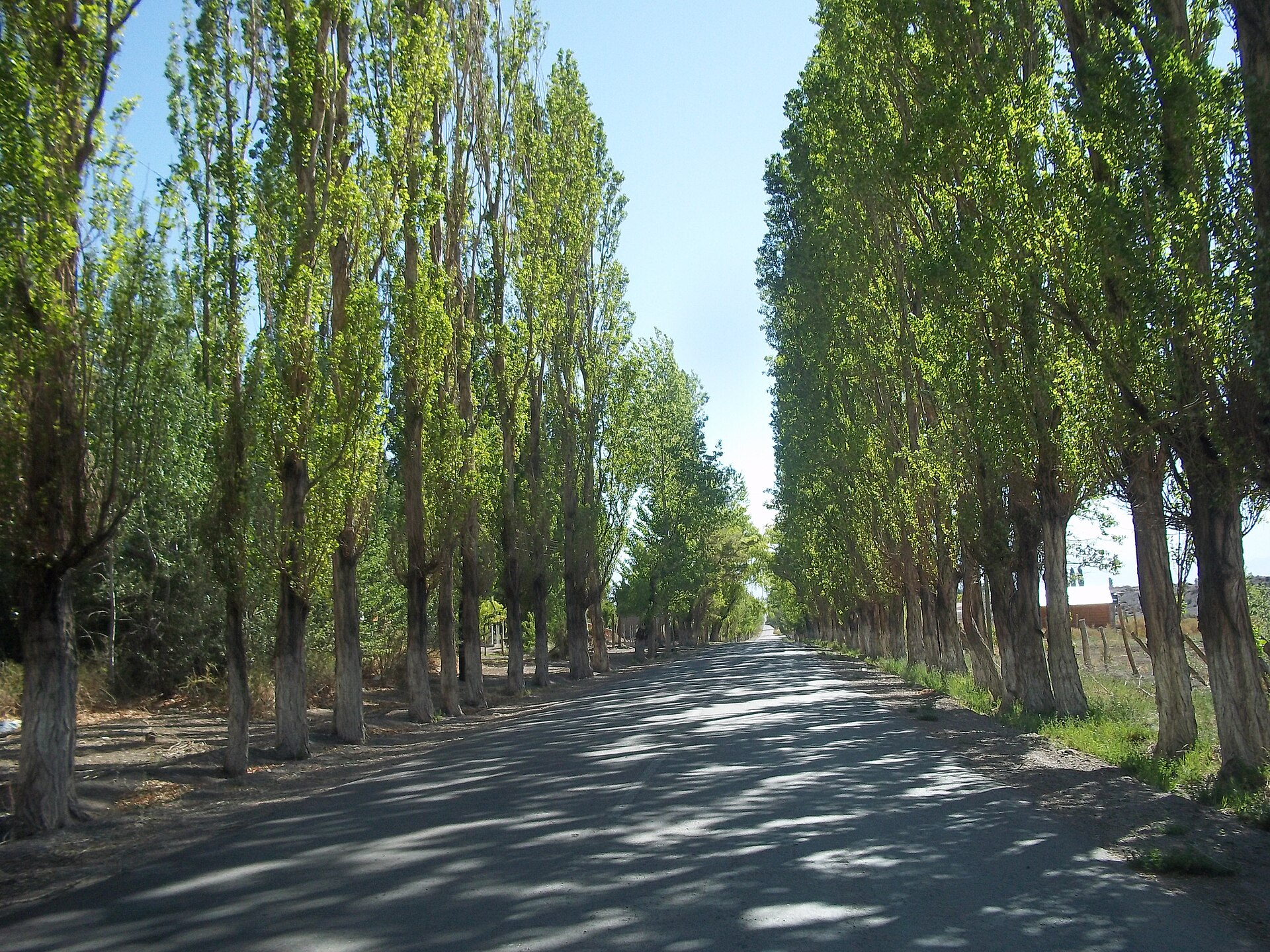
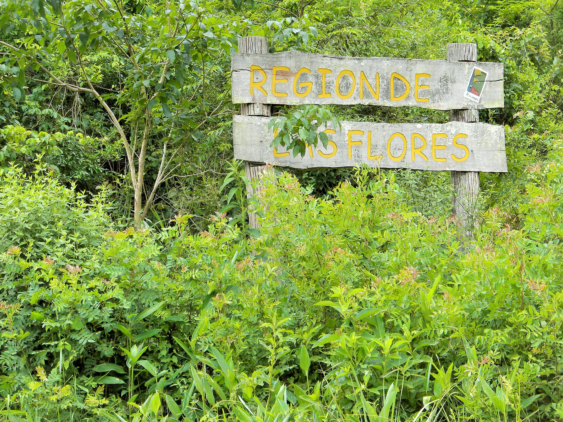
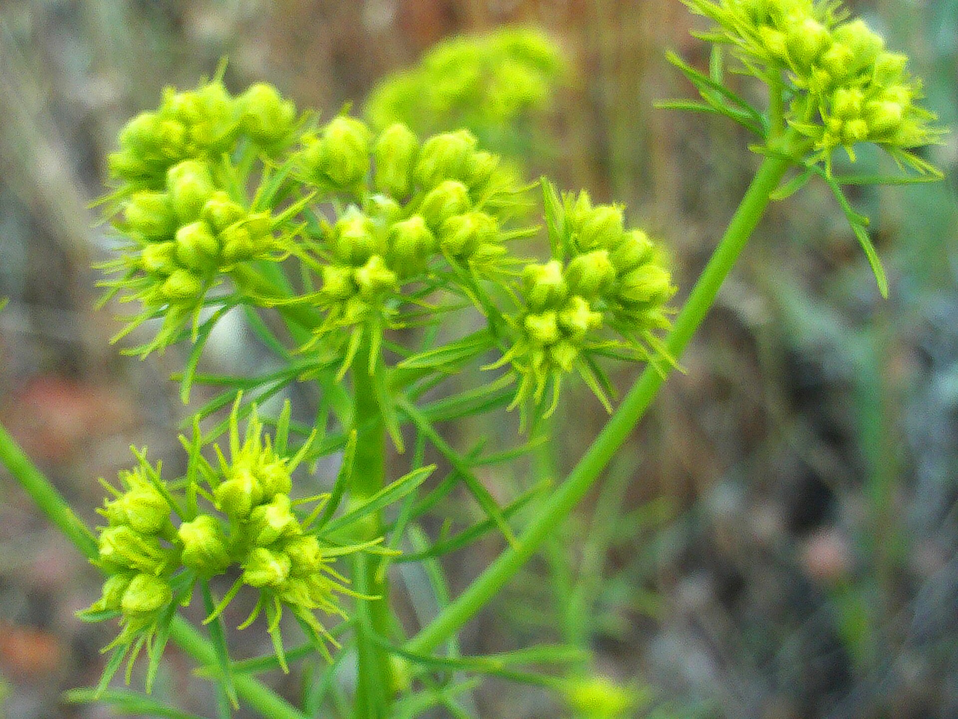
The 36-kilometre road that threads through El Salvador's western highlands earns its name literally: between November and February, wildflowers carpet the hillsides in yellows, purples and reds, and the air carries the green, slightly grassy smell of arabica coffee drying on raised beds. Seven colonial towns sit along the route — Juayúa, Nahuizalco, Salcoatitán, Apaneca, Concepción de Ataco among the core stops — each small enough to walk end-to-end in twenty minutes.
This is highland El Salvador at its most unhurried. On weekdays the plazas are quiet, dogs sleep on church steps, and murals by local artists cover whole walls in Ataco with painted maize fields and Pipil legends. Come the weekend, Juayúa's food festival draws the whole region to its central square.
💛 What travellers fall for
People who return tend to time a Saturday around the Juayúa food market, then stay put in Ataco for a night — the town quiets completely after the day-trippers leave. The extended tour at El Carmen Estate in Ataco is the one to book ahead: three hours, a proper coffee tasting, and a pound to take home.
How Ruta de las Flores came to be
Pipil communities were farming these fertile highlands long before Spanish contact in the 16th century. Juayúa was formally established in 1570 as a waypoint on trade routes between Guatemala and San Salvador; by 1577 Franciscan missionaries had arrived, bringing with them a carved Black Christ statue — the work of Quirio Cantaño — which still stands in the Church of Santa Lucia, a sister image to the revered figure at the Basilica of Esquipulas in Guatemala.
Coffee arrived quietly: between 1838 and 1839, a handful of Juayúa families began cultivating it on the slopes. The microclimate turned out to be near-perfect for arabica, and by the late 19th century coffee had become El Salvador's economic backbone. El Carmen Estate in Ataco, operating since 1930, is the most tangible remnant of that era still in daily use.
Who and what shaped it
People who shaped it
Landmark buildings
See Ruta de las Flores in motion
Plan your visit
On the map
When to go
The dry season runs November through April, when temperatures in the highlands sit around 18°C and nights turn genuinely cool — also when the flowers are at their peak. The rainy season brings daily afternoon downpours from June onward, with the highest chance of tropical storms in September; the roads stay passable, but the hills are murkier and the waterfalls run brown.
Right now
Background & history adapted from Wikipedia (CC BY-SA) · specs from Wikidata (CC0) · weather from Open-Meteo · map data © OpenStreetMap contributors · photos from Wikimedia Commons / Unsplash with per-image credit. No third-party reviews or social posts reproduced.