
Jeju Island, South Korea


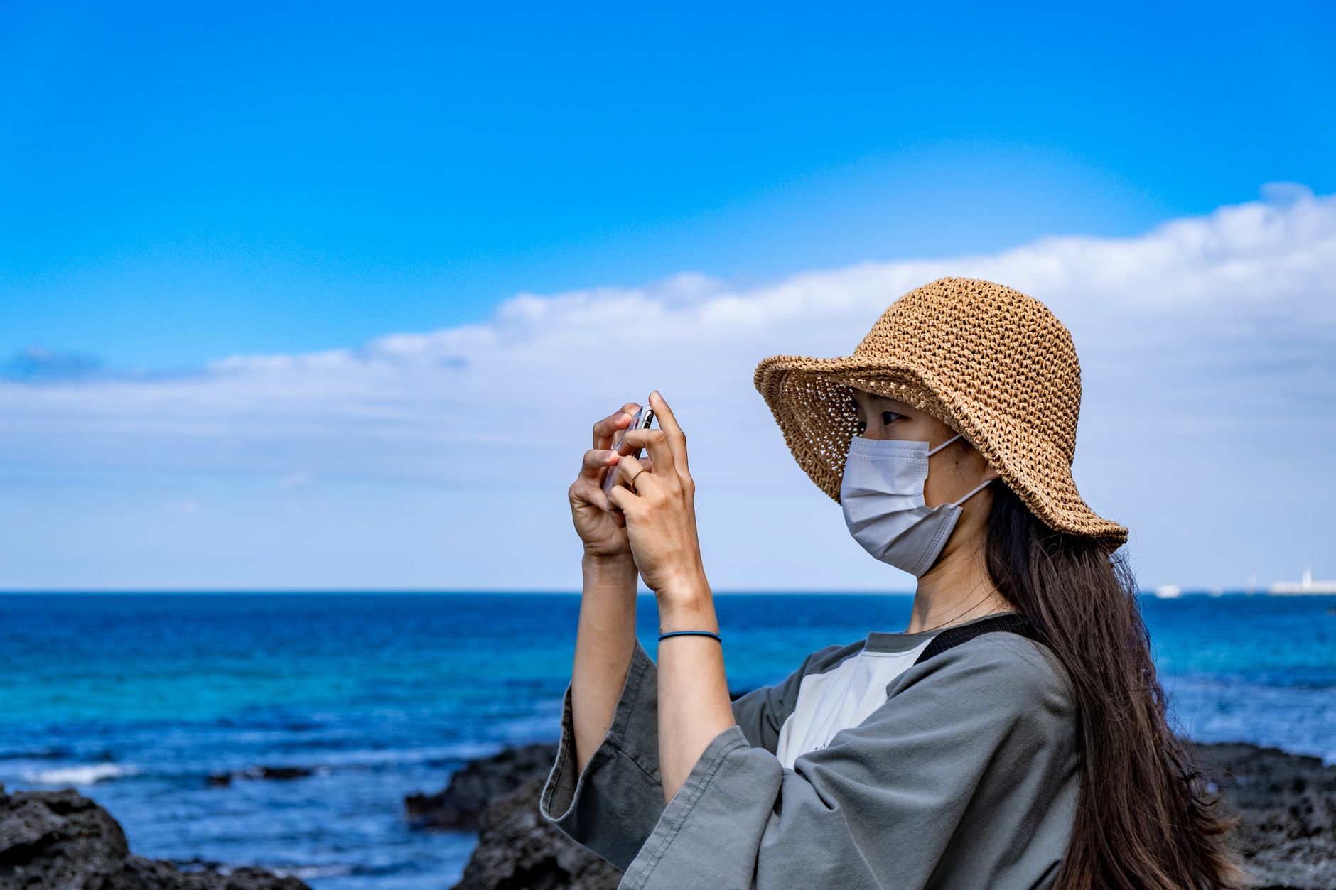

Jeju sits in the Korea Strait about 90 kilometres south of the mainland, and the first thing you notice is the volcano. Hallasan rises to 1,947 metres at the island's centre — the highest point in South Korea — and the whole island is essentially its ancient footprint, built up over two million years of eruptions. Black basalt walls line the fields, lava tubes run beneath orchards of tangerine trees, and at the eastern shore a crater called Seongsan Ilchulbong pushes 180 metres out of the sea.
Jeju has its own dialect, its own mythology, and a matrilineal diving tradition — the haenyeo, women who free-dive for abalone and sea urchin without equipment — that UNESCO recognised in 2016. It is recognisably Korean and consistently, specifically itself.
Popular cities in Jeju Island, South Korea
💛 What travellers fall for
People who keep coming back tend to time a morning around the haenyeo. The divers surface at working harbours on the island's coast, sort their catch, and move on — no performance, no schedule posted online. Ask at a local guesthouse the evening before; someone will know which harbour is active.
How Jeju Island, South Korea came to be
The island's earliest known civilisation, the Tamna Kingdom, traces its legendary origin to three demigods said to have emerged from caves on the northern slopes of Hallasan — Go Eul-na, Yang Eul-na, and Bu Eul-na — who became the progenitors of the Jeju people. By 938, the Tamna chief Ko Ja-gyeon had submitted to the Goryeo dynasty, and in 1105 Goryeo abolished the old name and absorbed the island as an administrative district. The name Jeju — meaning roughly 'province across the sea' — came later, under King Gojong of Goryeo.
From the 13th century the Mongols held the island for around a hundred years, using it as a naval base for campaigns against Japan and southern China. Japan annexed it along with the rest of Korea in 1910. In 1948 the island endured the April 3rd Incident — a suppression campaign that killed tens of thousands and destroyed around 130 villages, a wound that took decades to acknowledge officially. Since 2006, Jeju has operated as South Korea's only special self-governing province.
Who and what shaped it
People who shaped it
Landmark buildings
See Jeju Island, South Korea in motion
Plan your visit
On the map
When to go
Spring (April–May) brings mild temperatures and the famous canola flower fields in bloom; autumn (September–October) is clear and comfortable for hiking Hallasan. Summer is hot and humid with the risk of typhoons in August, while winter stays relatively mild by Korean standards but can be grey and wet.
Right now
↡ Cities
Background & history adapted from Wikipedia (CC BY-SA) · specs from Wikidata (CC0) · weather from Open-Meteo · map data © OpenStreetMap contributors · photos from Wikimedia Commons / Unsplash with per-image credit. No third-party reviews or social posts reproduced.