
La Ceiba
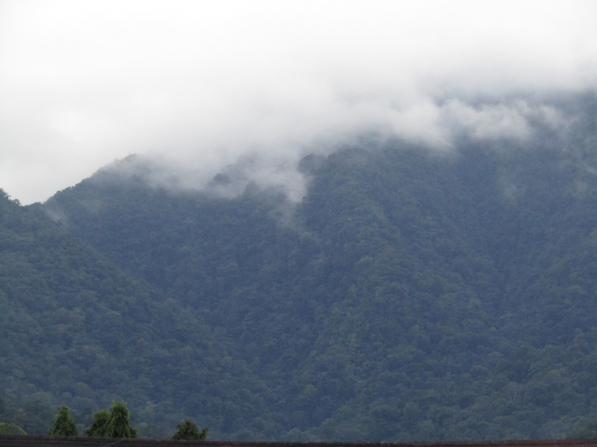
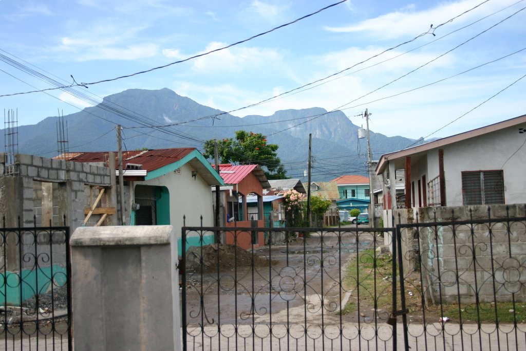
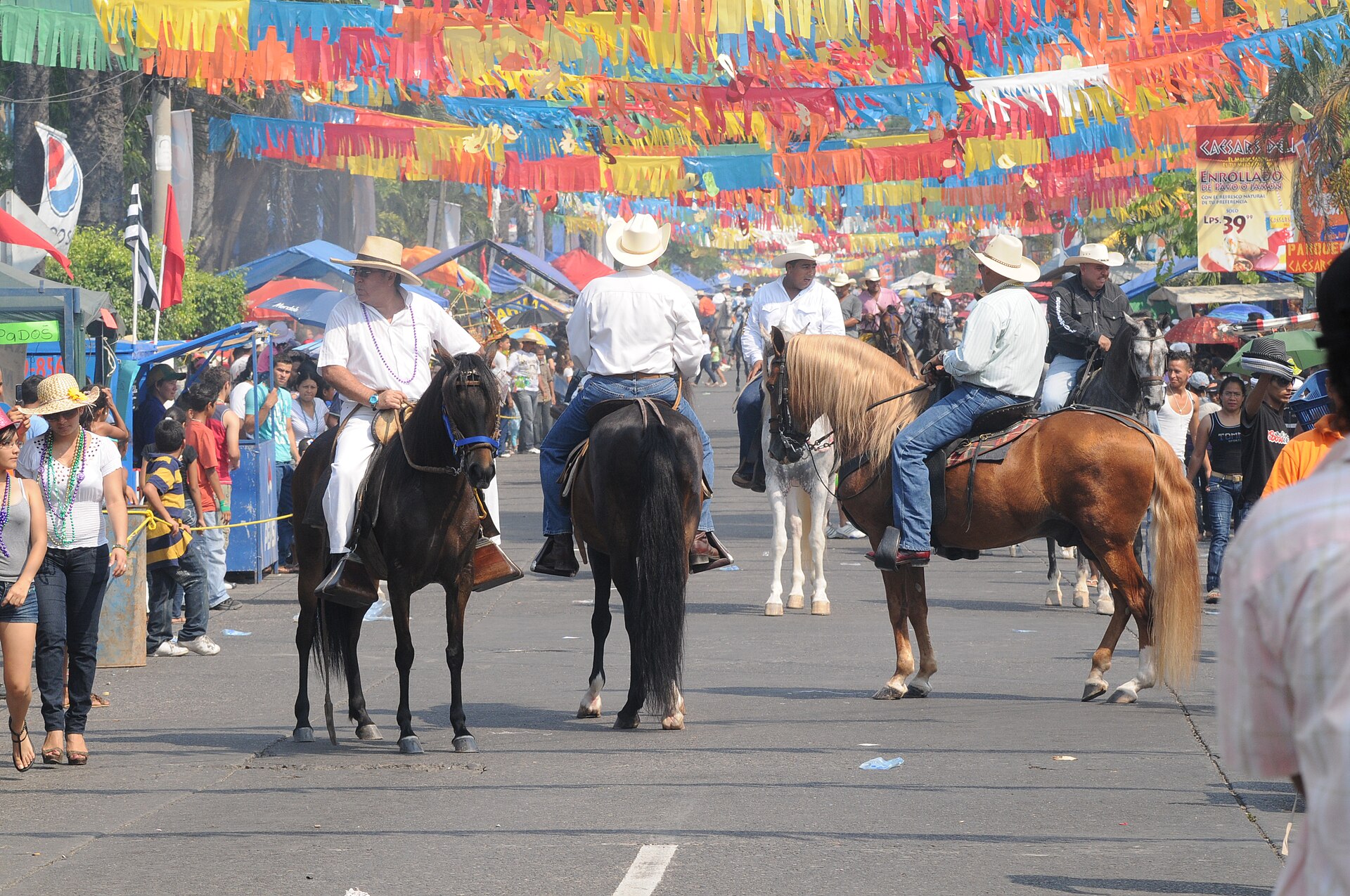
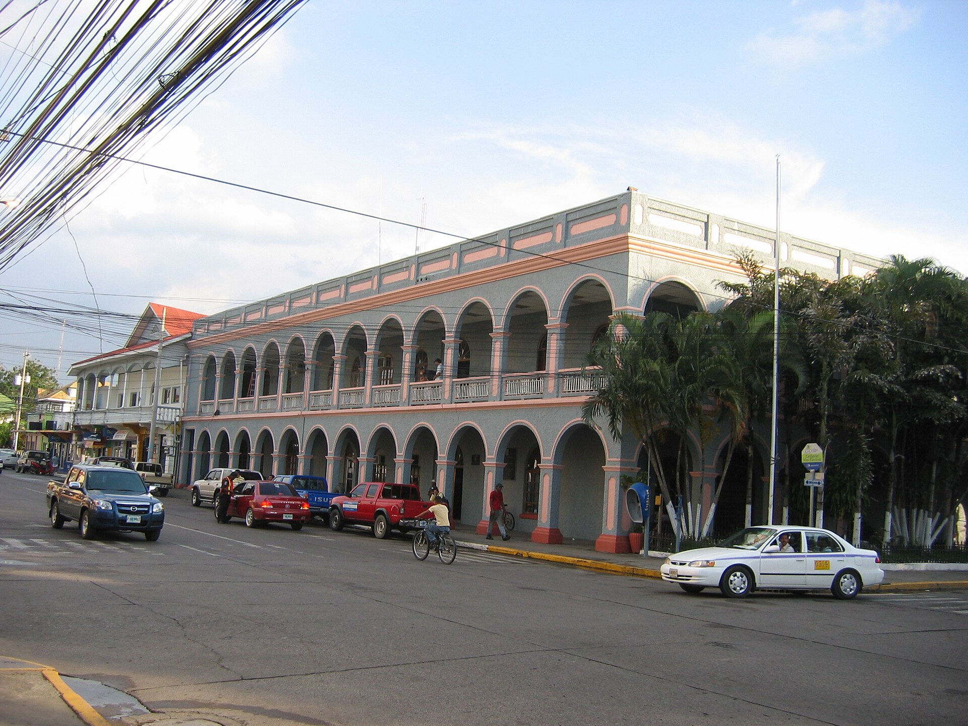

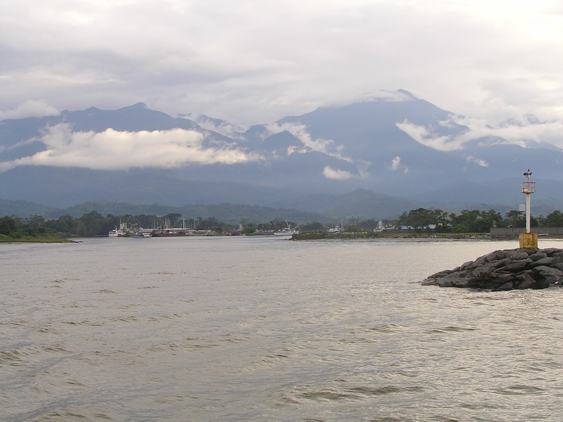
La Ceiba sits on Honduras's north coast with the Caribbean at its front and the cloud-forested wall of Pico Bonito at its back. The city takes its name from a giant ceiba tree that once stood near the old dock — the same dock that made this place matter. That tree fell into the sea in 2007, but the port logic that shaped La Ceiba never really left.
For most travellers, La Ceiba is the place you pass through: the ferry terminal for the Bay Islands, the last city before the national parks, the airport for onward connections. That's a fair reading, but the city rewards a half-day of genuine attention — the banana-era bungalows of Mazapán, the cathedral's powder-blue facade on Parque Central, a butterfly collection that somehow holds over 19,000 specimens.
How La Ceiba came to be
In 1872, a man named Manuel Hernández built a shack beneath a ceiba tree near the water's edge — that tree gave the city its name. La Ceiba was formally founded on August 23, 1877, under President Marco Aurelio Soto. What changed everything was fruit. The Vaccaro Brothers' Standard Fruit Company arrived from New Orleans in the late 19th century and established their headquarters here in 1905, pulling in workers from across Honduras and abroad. Barrio Inglés, the city's first recognised neighbourhood, reflects that cosmopolitan pull.
The banana economy seeded institutions that outlasted it. Banco Atlántida, still Honduras's oldest bank, was founded here in 1913; Cervecería Hondureña followed in 1918. Hurricane Mitch in 1998 erased entire neighbourhoods. The Mazapán district — with its colonial-style managerial bungalows — is the most legible remnant of what the fruit companies built.
Who and what shaped it
People who shaped it
Landmark buildings
See La Ceiba in motion
Plan your visit
On the map
When to go
La Ceiba is one of the wettest cities in Central America, averaging around 3,200 mm of rain a year, with November delivering the heaviest downpours. April and May are the clearest months — lowest rainfall, good sunshine, daytime temperatures around 30–31°C — and the best window for moving between the city and the surrounding parks.
Right now
Background & history adapted from Wikipedia (CC BY-SA) · specs from Wikidata (CC0) · weather from Open-Meteo · map data © OpenStreetMap contributors · photos from Wikimedia Commons / Unsplash with per-image credit. No third-party reviews or social posts reproduced.