
Tegucigalpa
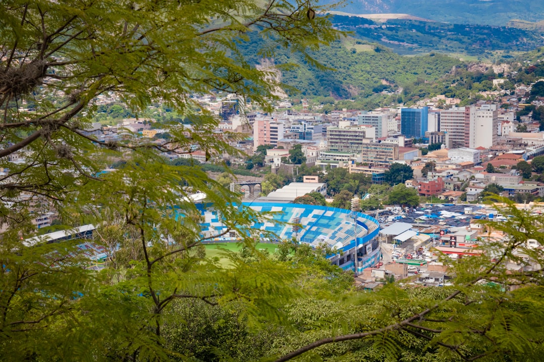
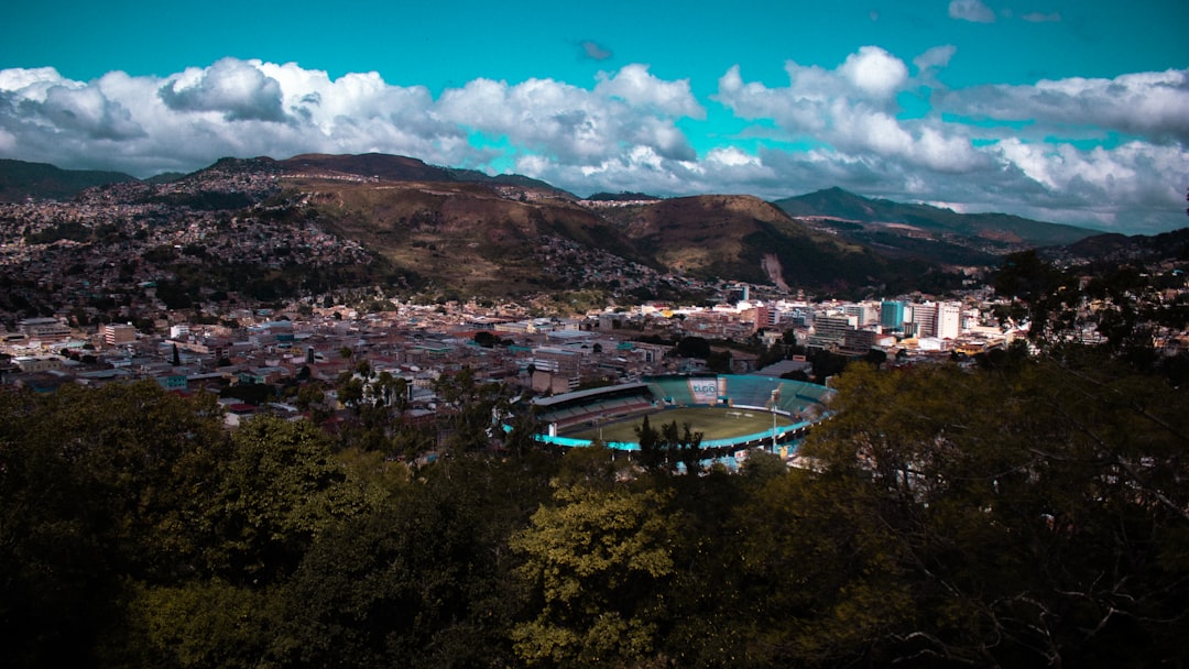
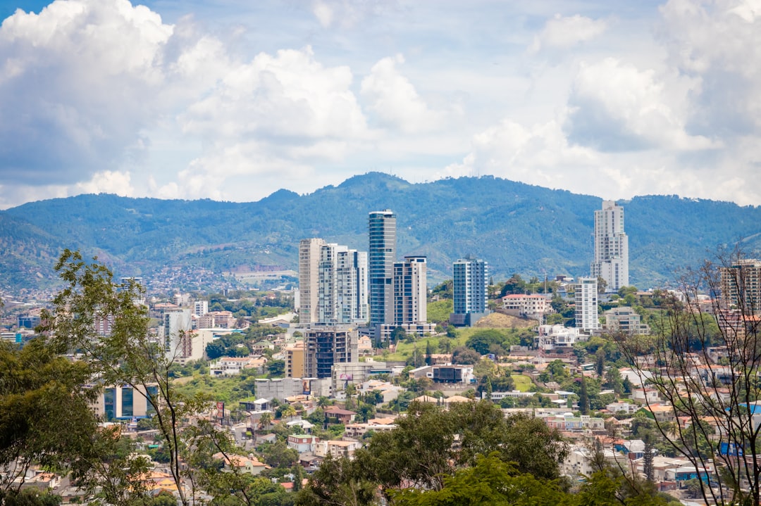
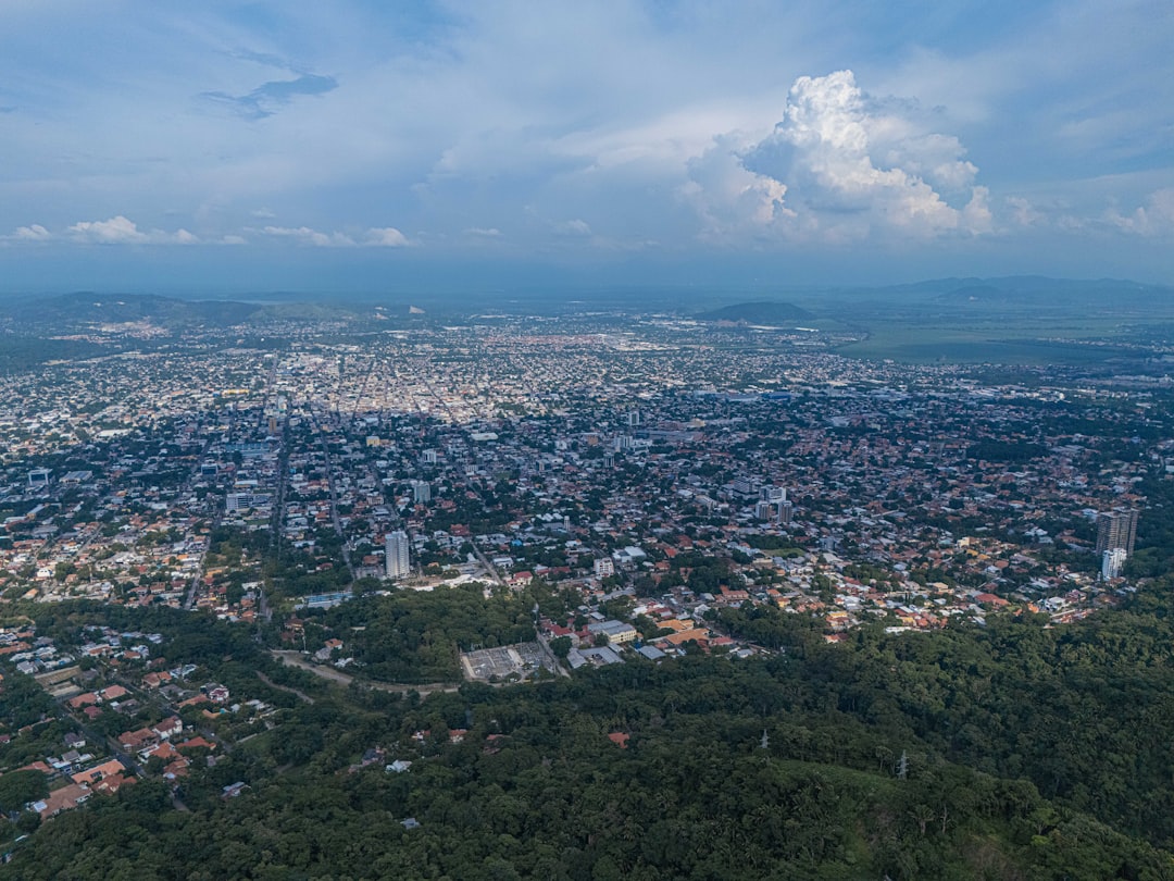
Tegucigalpa sits in a bowl of hills at roughly 1,000 metres, a capital city that grew out of a silver-mining settlement and never quite lost that improvised, layered quality. The historic centre around Parque Central holds colonial churches, a statue of Francisco Morazán, and streets that mix Baroque facades with mid-century civic architecture — the 1951 National Congress building, with its hemicycle session room, is a good example of the city's habit of placing unexpected modernism next to colonial stone.
The city was permanently scarred by Hurricane Mitch in 1998, which destroyed bridges, neighbourhoods and historic fabric across the Central District. That history is visible if you look, and it shapes how Tegucigalpa carries itself — resilient, a little rough-edged, and genuinely its own thing.
How Tegucigalpa came to be
Spanish explorer Alonso de Cáceres founded Real de Minas de San Miguel de Tegucigalpa on 29 September 1578, on a site already occupied by Lenca and Tolupan communities. The town grew around silver extraction, and its first mayor, Juan de la Cueva, took office the following year. For centuries it remained secondary to Comayagua as Honduras's administrative centre.
That changed in 1880, when President Marco Aurelio Soto — himself a native of the city — moved the capital here permanently. On 30 January 1937, Tegucigalpa and the neighbouring city of Comayagüela were unified into the Central District. Hurricane Mitch struck on 30 October 1998; flooding and landslides driven by deforestation and saturated ground destroyed large parts of the city, a wound whose traces remain in the urban fabric today.
Who and what shaped it
People who shaped it
Landmark buildings
See Tegucigalpa in motion
Plan your visit
On the map
When to go
Tegucigalpa's elevation keeps temperatures moderate year-round, typically between 16°C and 30°C. The dry season runs roughly November through April — the most comfortable months to walk the city — while May through October brings afternoon rains that cool the hills quickly.
Right now
Background & history adapted from Wikipedia (CC BY-SA) · specs from Wikidata (CC0) · weather from Open-Meteo · map data © OpenStreetMap contributors · photos from Wikimedia Commons / Unsplash with per-image credit. No third-party reviews or social posts reproduced.