
Copán Ruinas
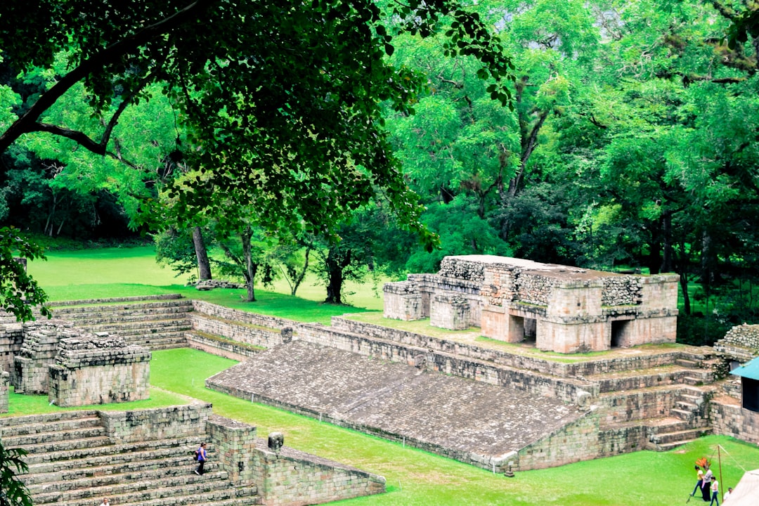
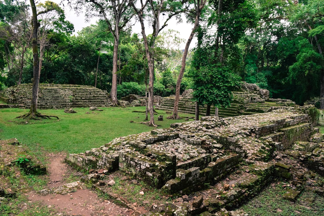
The town of Copán Ruinas sits in a green valley in western Honduras, close enough to the Guatemalan border that the air feels like a crossroads. The cobblestone streets and low whitewashed buildings are quiet in the way of a place that knows it has something serious nearby — and it does. A kilometre or so from the central park, one of the ancient Maya world's great cities rises from the forest floor: stone plazas, carved stelae, and a staircase inscribed with more than 2,000 glyphs that took dynasties to fill.
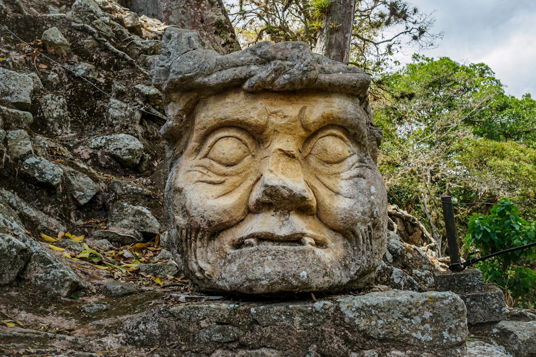
This is a place where the archaeology is the draw, and it rewards slow attention. The ruins at Copán carry a density of carved stone portraiture — kings rendered in full regalia, their histories literally written into the steps — that you won't find at many other sites on the continent.
Experiences you don't want to miss


How Copán Ruinas came to be
Settlement in the Copán Valley goes back to around 1500 BC, but the city as a political force began in 426 CE when K'inich Yax K'uk' Mo' — Great Sun Quetzal-Macaw — founded a dynasty that would run for nearly four centuries through 16 successive rulers. The city's wealth rested on regional conquest and control of obsidian and jade trade. Its most prolific builder was Ruler 13, Uaxaclajuun Ub'aah K'awiil, known as 18 Rabbit, who filled the Great Plaza with stelae before being captured and beheaded by a rival king in 738 CE.
Copán's decline came fast. The last well-documented ruler, Yax Pasaj Chan Yopaat, died in 820 CE; the city was abandoned two years later, likely a combination of overpopulation, drought, and conflict. Spanish official Diego García de Palacio documented the ruins in 1570, but serious excavation didn't begin until the 19th century. UNESCO recognised the site in 1980.
Who and what shaped it
People who shaped it
Landmark buildings
See Copán Ruinas in motion
Plan your visit
On the map
When to go
The valley has a pronounced wet season from May through October, when afternoon rains are reliable and the surrounding hills go a deep green. November to April is drier and cooler — mornings at this elevation can be genuinely fresh, so a light layer is worth packing even in the dry months.
Right now
Background & history adapted from Wikipedia (CC BY-SA) · specs from Wikidata (CC0) · weather from Open-Meteo · map data © OpenStreetMap contributors · photos from Wikimedia Commons / Unsplash with per-image credit. No third-party reviews or social posts reproduced.