
Roatán
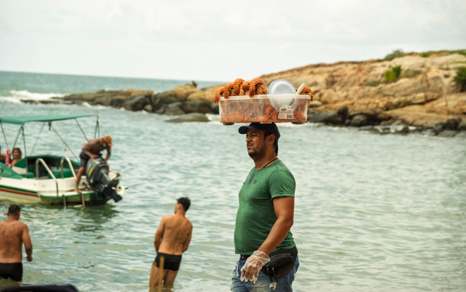
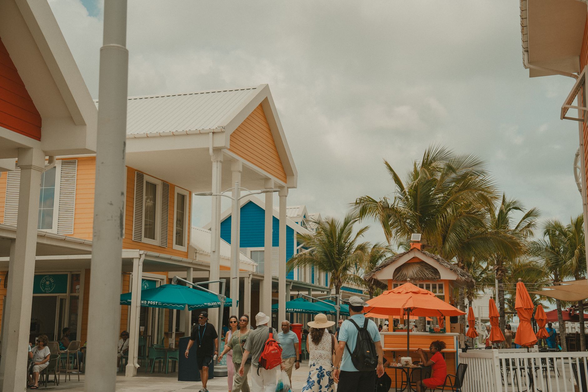
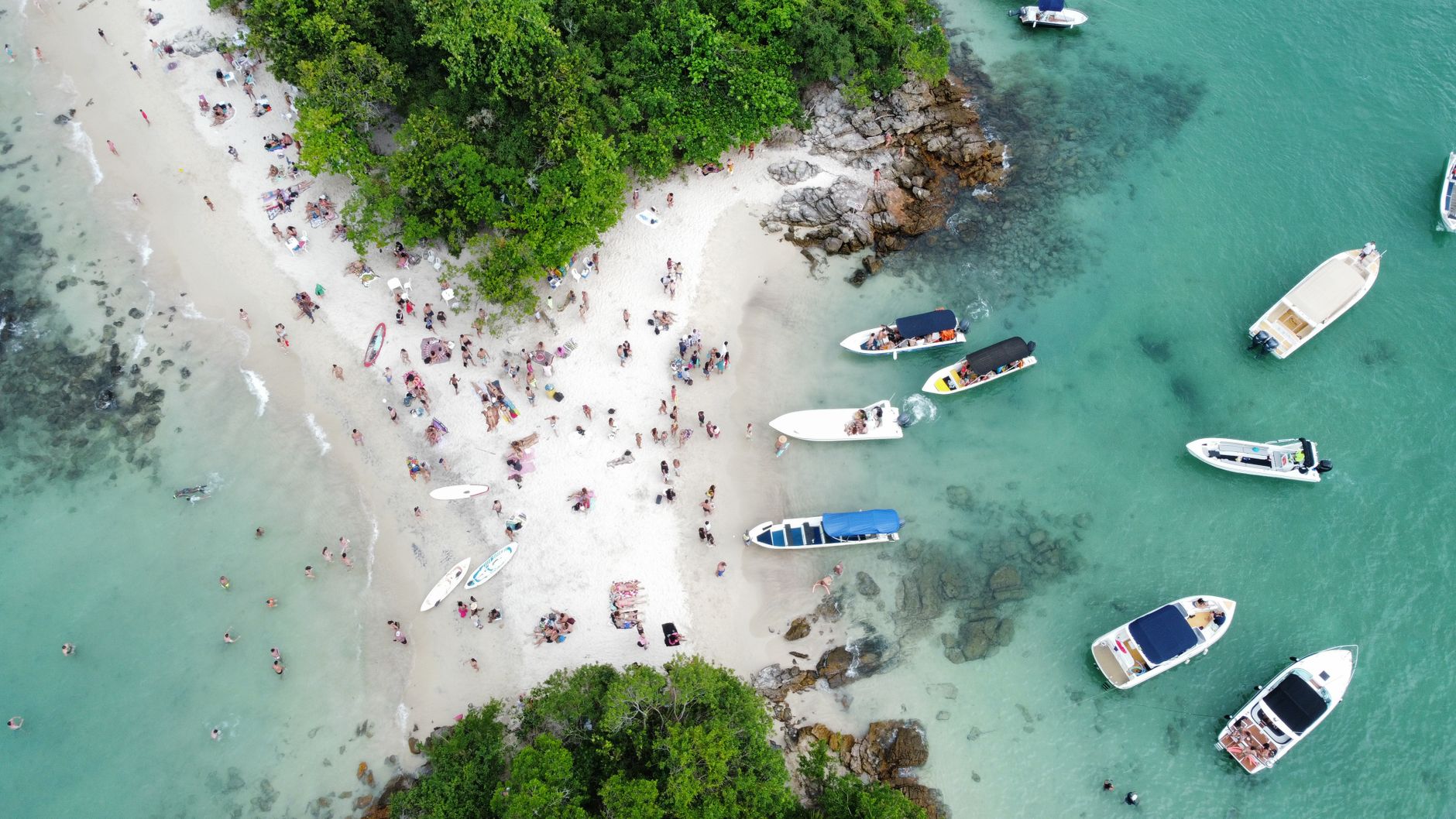
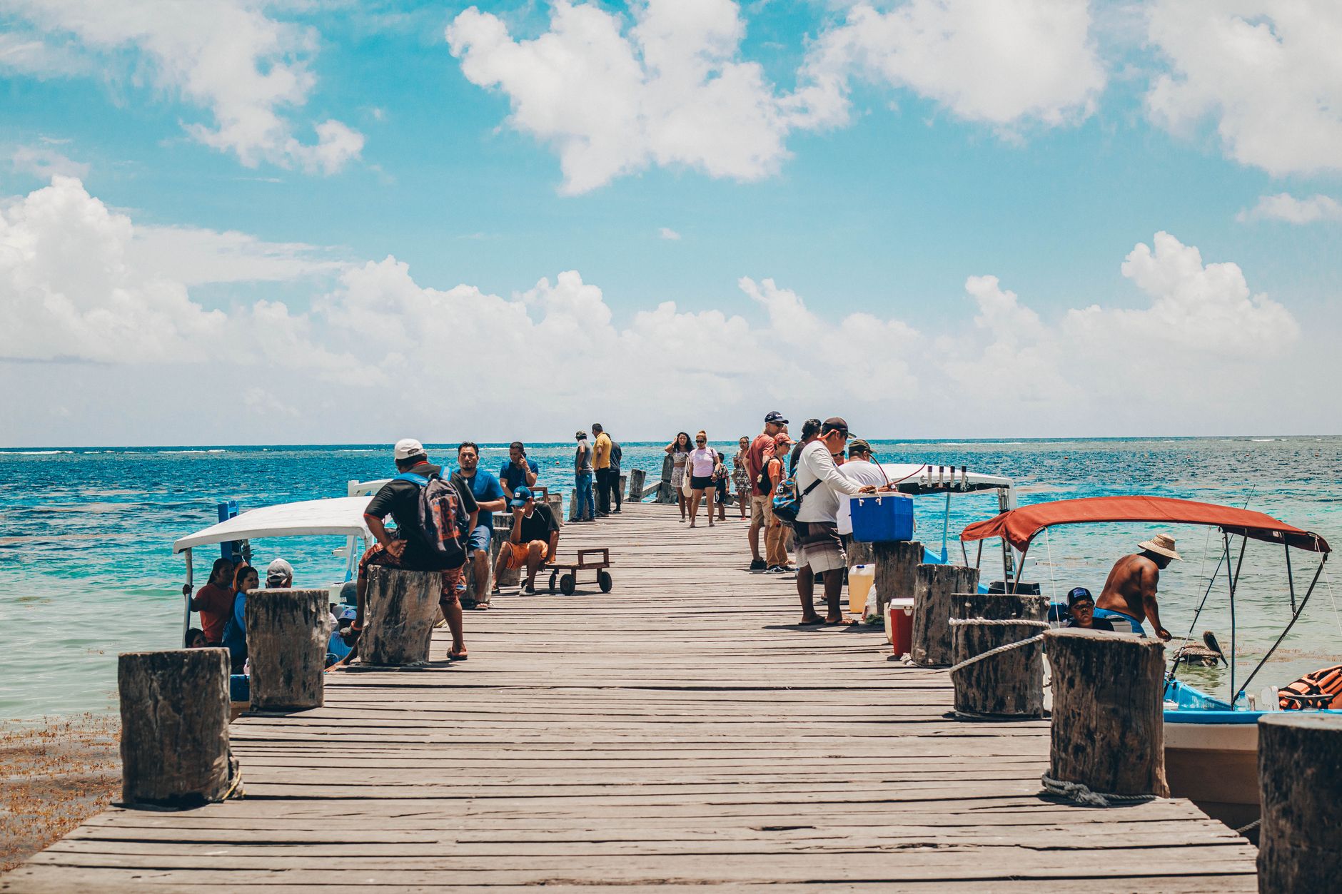
Roatán sits in the Caribbean about 65 kilometres off the Honduran coast, a narrow ridge of jungle and reef roughly 50 kilometres long. The Mesoamerican Barrier Reef — the second largest in the world — runs right along its shores, which is why divers and snorkellers have been making their way here for decades. West Bay's coral begins almost at the waterline, close enough to reach in flip-flops.
But the island is more than its underwater life. The English-speaking descendants of Caymanian settlers, known locally as Islanders or *caracoles*, give Roatán a cultural texture distinct from mainland Honduras. Garifuna drumming drifts from Punta Gorda on the north coast, and Coxen Hole's weathered Victorian wooden houses remind you that several centuries of complicated history passed through before the dive boats arrived.
💛 What travellers fall for
People who come back tend to sort themselves quickly: mornings belong to the reef, afternoons to the water taxis. For a dollar or two you can flag down a boat between West End and West Bay rather than walking the road in the heat. Most regulars settle on a single dive operator early and stick with them — the relationships matter more than the price difference.
How Roatán came to be
Columbus anchored here in 1502, naming the island Isla de los Pinos for its pine forests. The Paya people had lived on it long before that. For the next two and a half centuries, Roatán passed through waves of English occupation, pirate anchorages — Port Royal on the eastern end was a known buccaneer refuge — and Dutch and English loggers who stripped the pines for shipbuilding timber.
In 1797 the British, having defeated the Garifuna on the island of St. Vincent, deported them here. Most eventually crossed to Trujillo on the mainland, but a community stayed and founded Punta Gorda. The island's other founding population arrived in the 1830s, when families from the Cayman Islands relocated following the 1833 Slavery Abolition Act. England formally ceded the Bay Islands to Honduras in 1859, and they became the Departamento de las Islas de la Bahía — though the Creole English spoken by Islanders never disappeared.
Who and what shaped it
People who shaped it
Landmark buildings
See Roatán in motion
Plan your visit
On the map
When to go
The dry season runs roughly February through May, when seas are calmer and visibility underwater tends to be at its best. Hurricane season peaks September through November; Roatán caught the edge of Hurricane Mitch in 1998, and while direct hits are rare, heavy rain and rough crossings are a real possibility in those months.
Right now
Background & history adapted from Wikipedia (CC BY-SA) · specs from Wikidata (CC0) · weather from Open-Meteo · map data © OpenStreetMap contributors · photos from Wikimedia Commons / Unsplash with per-image credit. No third-party reviews or social posts reproduced.