
Pico Bonito National Park


You cross into Pico Bonito over a swing bridge — the kind that sways underfoot and makes you grip the rope — and that small jolt of unsteadiness turns out to be the park's way of introducing itself. This is a place that asks something of you before it gives anything back.
Stretching across the Cordillera Nombre de Dios above the coastal city of La Ceiba, the park rises from humid lowland forest to the 2,435-metre summit of Pico Bonito itself. The Cangrejal River — voted one of Honduras's thirty national wonders — cuts through its eastern edge with Class III and IV rapids, while the interior holds at least 400 bird species and waterfalls that take hours of climbing to reach.
💛 What travellers fall for
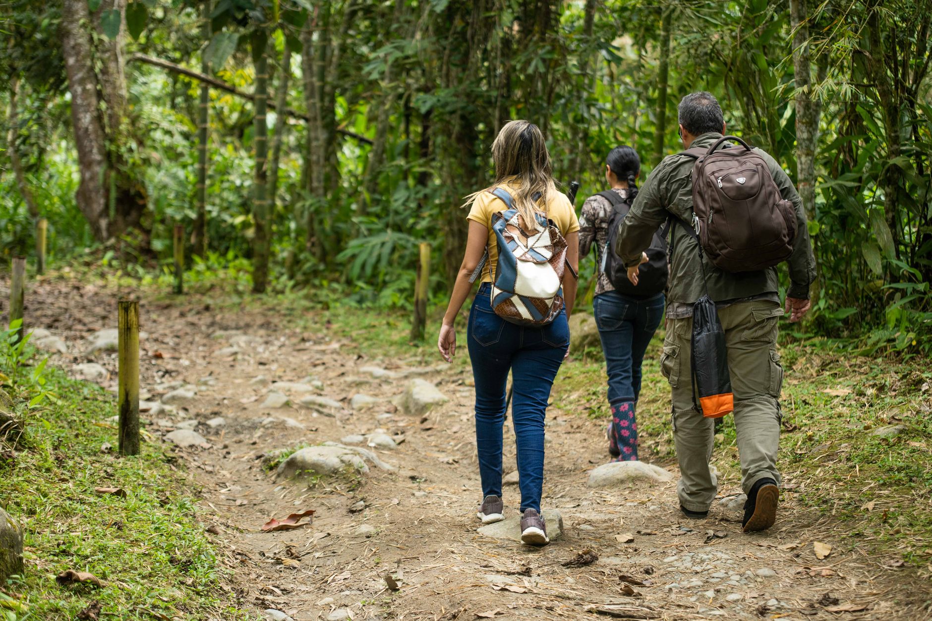
People who come back tend to split their time between the two entrances: El Pino on the western side for the Lodge at Pico Bonito's trails, and Río Cangrejal for whitewater and the walk to Cascada El Bejuco. Bring all your cash from La Ceiba — there are no ATMs near the park, and guides are hired on the spot.
How Pico Bonito National Park came to be
Pico Bonito was formally established on January 1, 1987, carved out of the Cordillera Nombre de Dios to protect one of Honduras's last large tracts of undisturbed cloud and lowland rainforest. For its first years it remained largely ungoverned on the ground.
In 1993, the National Congress passed Law 192-93, creating the Pico Bonito National Park Foundation (FUPNAPIB) as the park's legal co-manager alongside the state forestry authority AFE-COHDEFOR. That arrangement — civil society holding a formal stake in conservation — was unusual for Honduras at the time and shaped how the park developed its visitor infrastructure and trail network over the following decades.
Who and what shaped it
People who shaped it
Landmark buildings
See Pico Bonito National Park in motion
Plan your visit
On the map
When to go
The lower reaches stay warm year-round, typically 25–30°C, while altitude brings cooler nights closer to 15°C. June through September is the rainiest stretch; the dry season runs November to April, which also overlaps with hurricane season's tail end, so October and November carry some weather risk.
Right now
Background & history adapted from Wikipedia (CC BY-SA) · specs from Wikidata (CC0) · weather from Open-Meteo · map data © OpenStreetMap contributors · photos from Wikimedia Commons / Unsplash with per-image credit. No third-party reviews or social posts reproduced.