
Comayagua
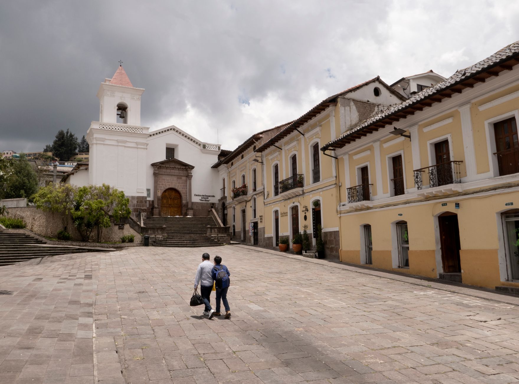
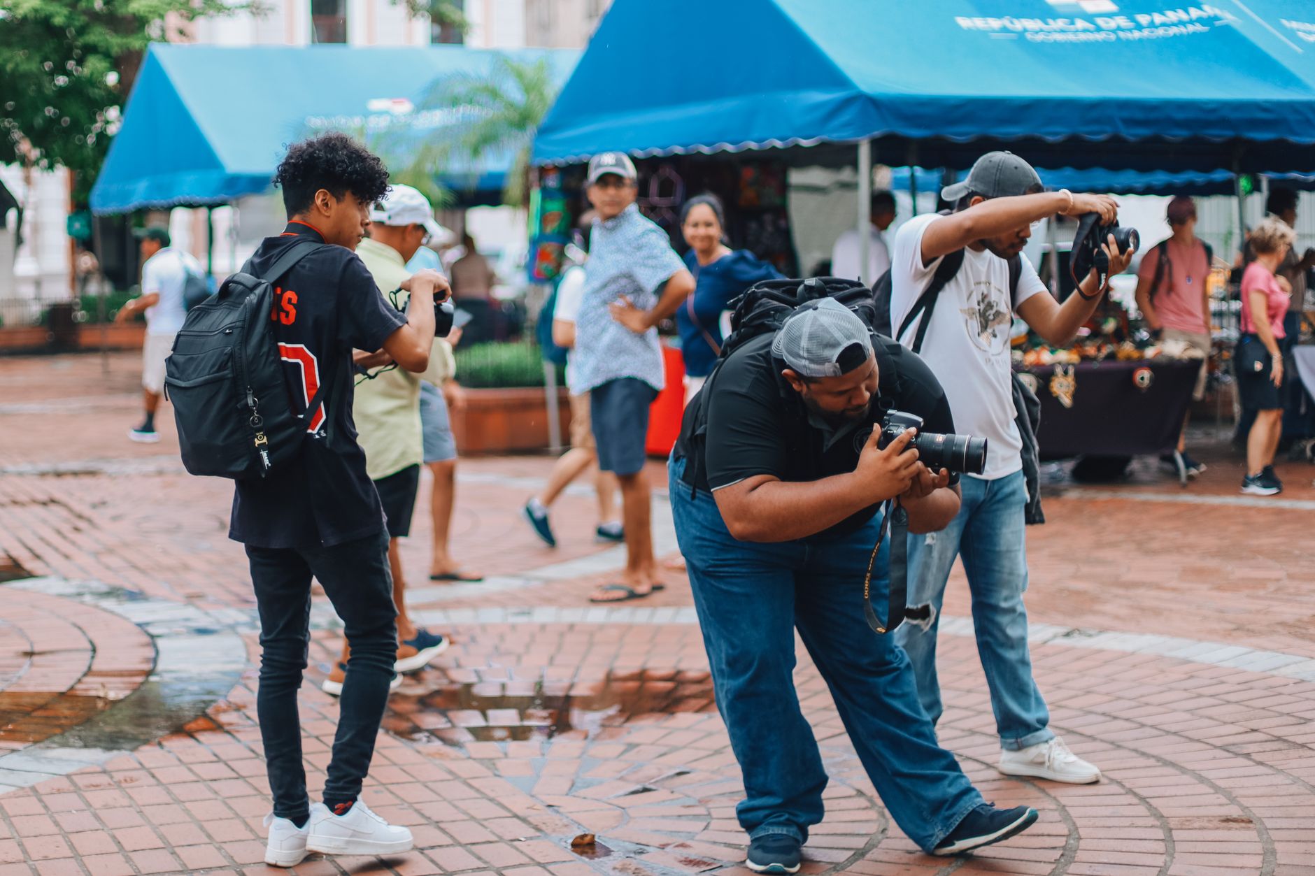
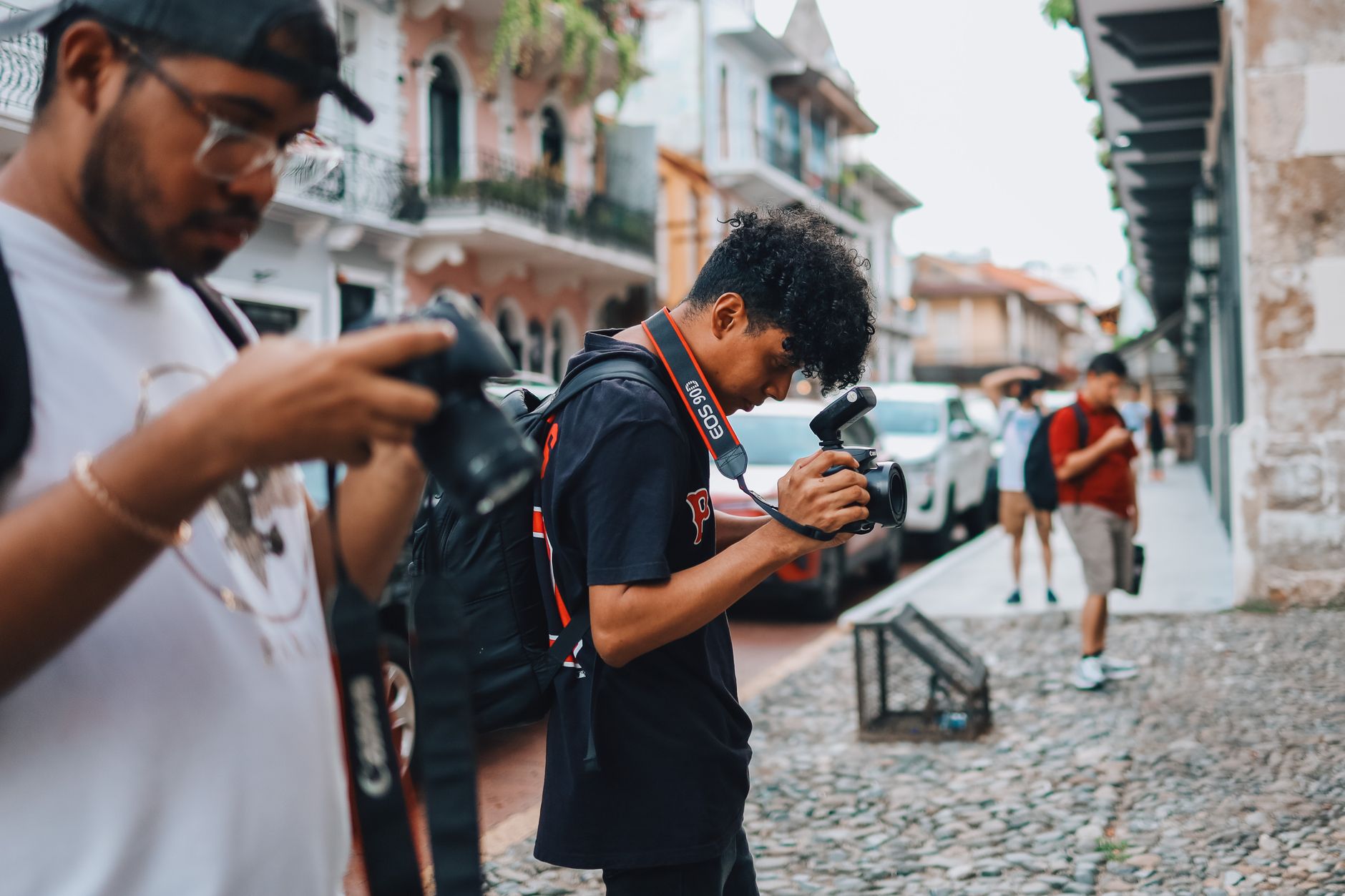
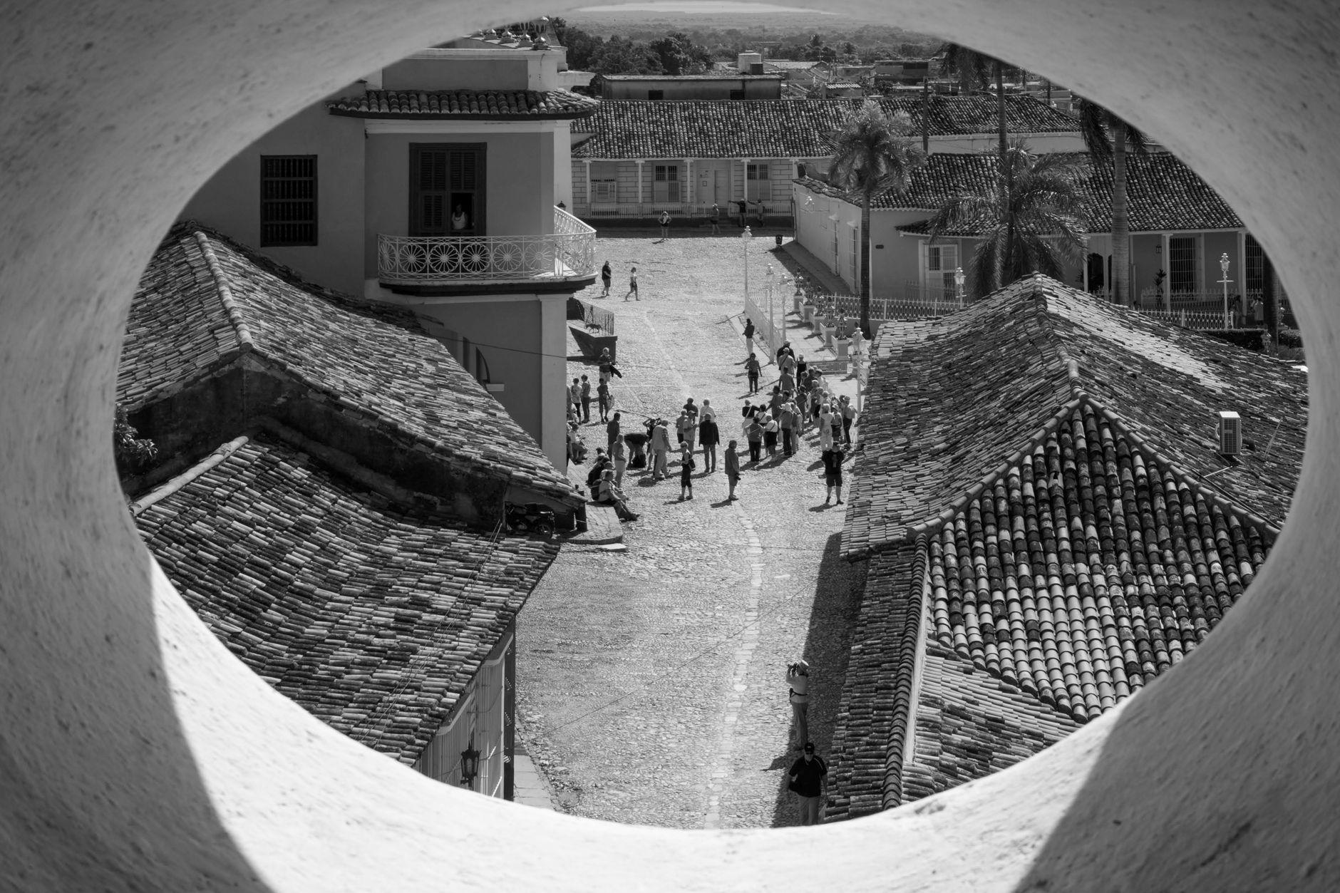
On the third floor of Comayagua's cathedral belfry, a clock made by Arab craftsmen in twelfth-century Spain still rings every fifteen minutes — and has done so since 1636. That small fact says a lot about this city: things here arrive from somewhere else, take root, and last. Sitting in the broad valley between Honduras's two coasts, Comayagua spent three and a half centuries as the country's capital before losing the title to Tegucigalda in 1880, and the colonial core it accumulated during those years remains largely intact.
The city is compact enough to walk entirely, with churches, plazas, and museums arranged on the Spanish grid within a few blocks of each other. Palmerola International Airport, opened in 2021, sits just fifteen minutes away — making Comayagua an easy first or last stop on a wider Honduran journey.
How Comayagua came to be
Spanish Captain Alonso de Cáceres founded the city on 8 December 1537, under orders to locate a settlement 'in the middle of the two oceans.' He named it Santa María de la Concepción de Comayagua, in a valley already inhabited by the Lenca people. King Philip II granted it city status in 1557, and four years later the episcopal seat moved here from Trujillo, drawn by Comayagua's central position and proximity to the mining regions that drove the colonial economy.
For the next three centuries it served as the capital of Honduras. Construction on the Cathedral of the Immaculate Conception began in 1634 and finished in 1715; the Church of La Merced, the oldest brick-and-stone temple still standing in Honduras, went up in 1551. The capital transferred to Tegucigalda in 1880 under President Marco Aurelio Soto, and Comayagua has carried its colonial architecture quietly ever since.
Who and what shaped it
People who shaped it
Landmark buildings
See Comayagua in motion
Plan your visit
On the map
When to go
Comayagua has a tropical savanna climate — warm year-round, with a drier stretch from roughly November through April and afternoon rains arriving from May onward. The dry months are the most comfortable for walking the outdoor plazas and church exteriors, though the valley heat can build by midday regardless of season.
Right now
Background & history adapted from Wikipedia (CC BY-SA) · specs from Wikidata (CC0) · weather from Open-Meteo · map data © OpenStreetMap contributors · photos from Wikimedia Commons / Unsplash with per-image credit. No third-party reviews or social posts reproduced.