
Lago de Yojoa
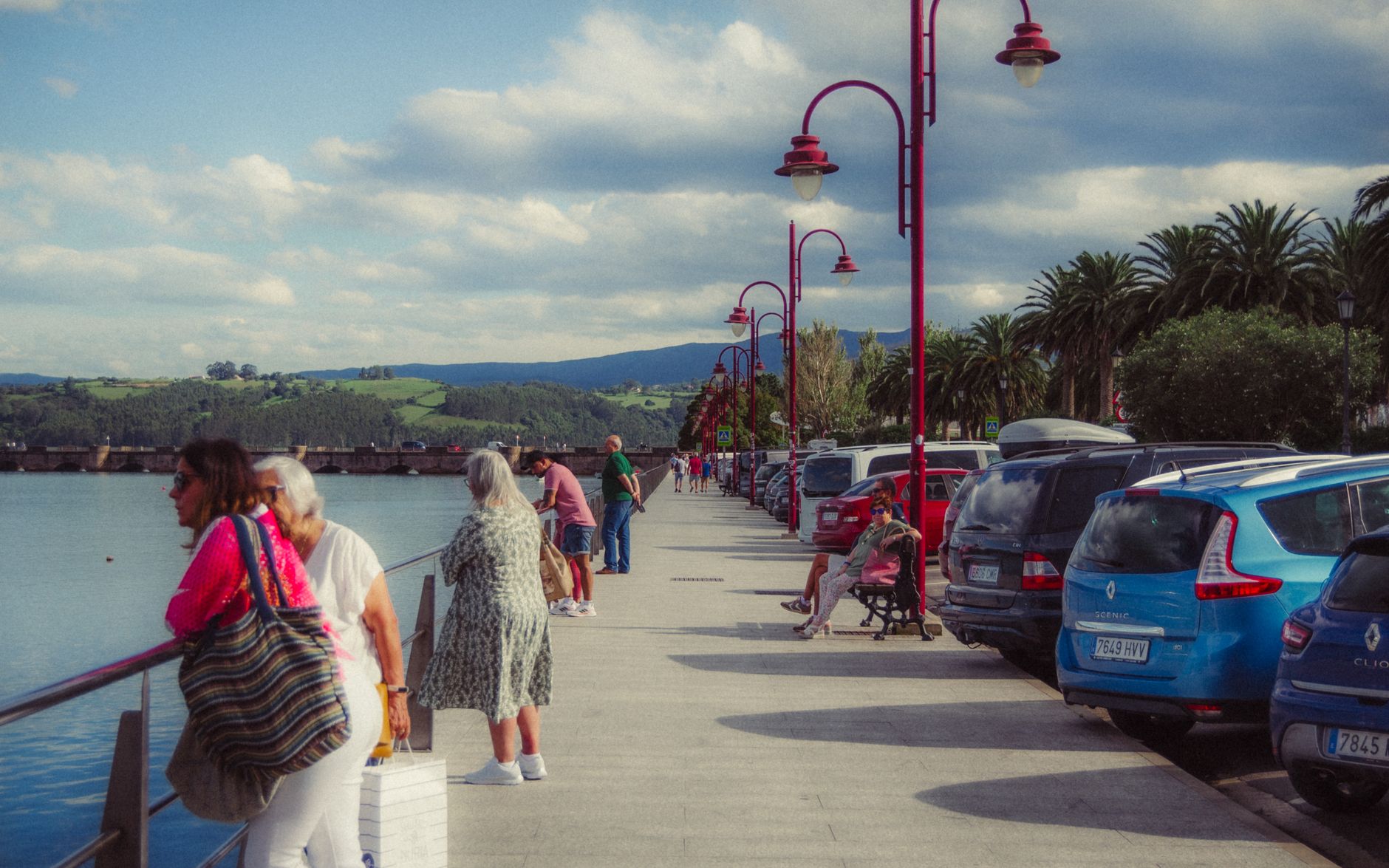
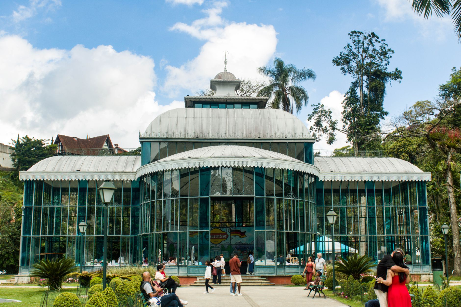
Honduras's only large natural lake sits in a volcanic depression between two national parks, with cloud forest climbing the ridgelines on either side and fried fish smoking on grills along the water's edge. The name comes from the Maya "Yoco-ha" — water accumulated on earth — and that plainness suits it. This is a place where truckers stop for lunch, birders set up before dawn, and kayakers paddle a canal out of Los Naranjos to reach open water.
The lake anchors a loose constellation of towns, ruins, waterfalls, and coffee slopes. Peña Blanca is the main town, about two kilometers from the shore; Los Naranjos, in the northern corner, is where most travelers base themselves. The road between the two is memorably rough.
💛 What travellers fall for
People who come back tend to time an early morning at PANACAM's birdwatching towers, then spend the afternoon at D&D Brewery with a cold craft beer and whatever the kitchen is running that day. The kayak rental in Los Naranjos — 100 lempiras, no time limit — gets mentioned constantly. Go on a weekday if you can.
How Lago de Yojoa came to be
The lake's volcanic origins are still visible in the scoria cones and lava flows of the surrounding landscape. People have lived on these shores for at least 2,800 years — the site of Los Naranjos, on the northern edge, dates to roughly 700 B.C. and was a major center of Lenca culture, possibly the largest pre-Columbian city in Honduras after Copán. The first archaeological investigations here began in 1934, drawing scientists from North America, France, Mexico, and Honduras; the largest collection of Lenca objects recovered at the site is now held at the Museo de Comayagua.
In 2005, the UN designated the lake a Wetland of International Interest under the RAMSAR Convention. A quieter turning point came in 2011, when Bobby Durrette, a Virginia native, took over a struggling bed-and-breakfast in Los Naranjos and opened D&D Brewery — a move that, more than any government initiative, put the lake on the itinerary of international travelers.
Who and what shaped it
People who shaped it
Landmark buildings
See Lago de Yojoa in motion
Plan your visit
On the map
When to go
The lake sits in one of Honduras's rainiest zones, hemmed in by cloud forests that pull moisture from both coasts. The dry season runs through winter and is the most comfortable time to visit; summers are hot and frequently overcast, with afternoon rains. It stays muggy year-round.
Right now
Background & history adapted from Wikipedia (CC BY-SA) · specs from Wikidata (CC0) · weather from Open-Meteo · map data © OpenStreetMap contributors · photos from Wikimedia Commons / Unsplash with per-image credit. No third-party reviews or social posts reproduced.