
Tela

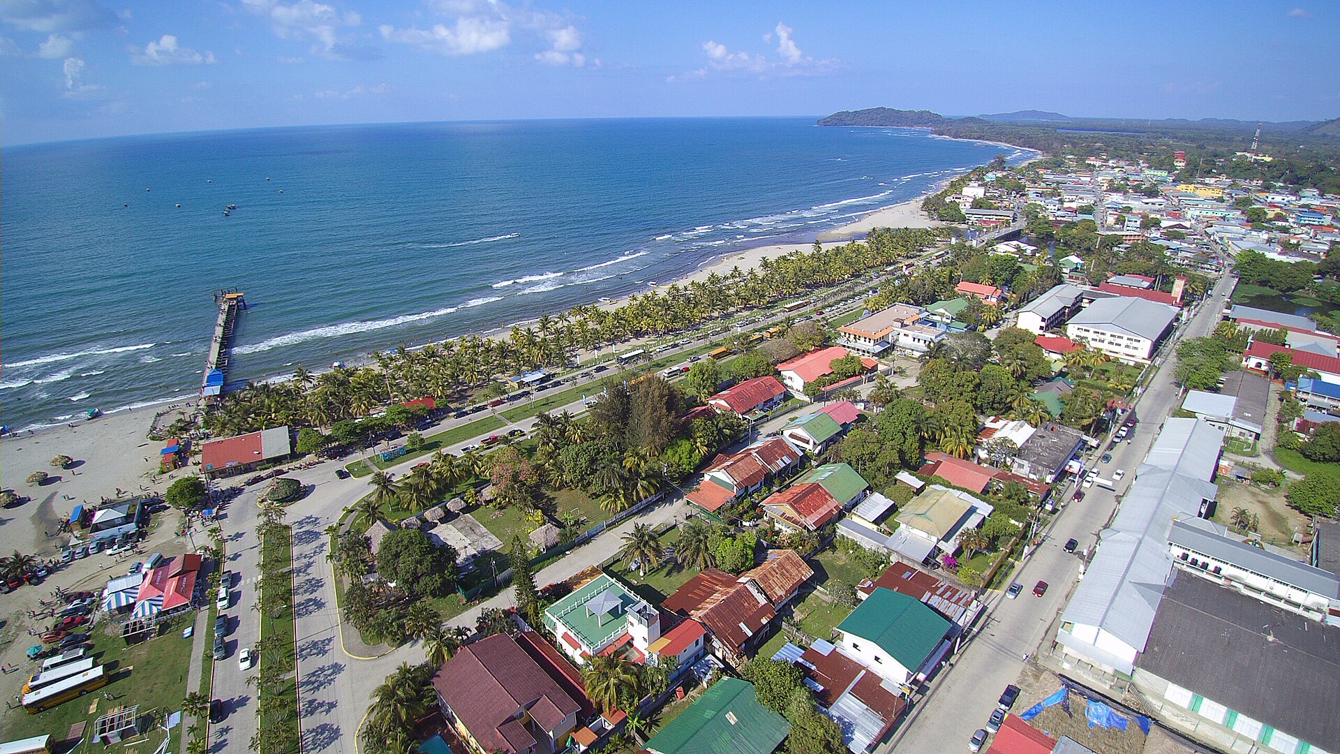
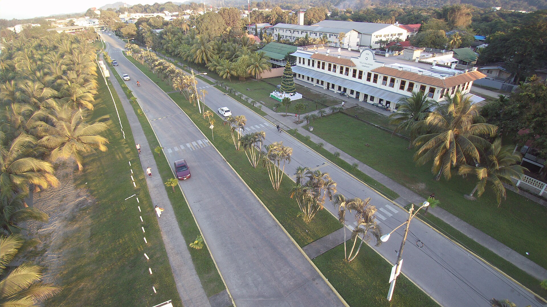

Tela sits at the crook of a wide Caribbean bay, flanked on both ends by protected rainforest — Jeannette Kawas National Park to the west, Punta Izopo to the east. The town itself is split between an older Honduran quarter and the grid of Tela Nueva, the company town the United Fruit Company built for its workers in the early twentieth century, where the old accounting building still stands as a quiet relic of that era.
What draws people here is the combination of things that rarely coexist so closely: Garifuna villages strung along the coast, a reef off Capiro that reef-divers consider among the best-preserved on the Caribbean's Central American shore, and Lancetilla Botanical Garden — one of the most significant tropical gardens in the western hemisphere — a short ride inland.
💛 What travellers fall for
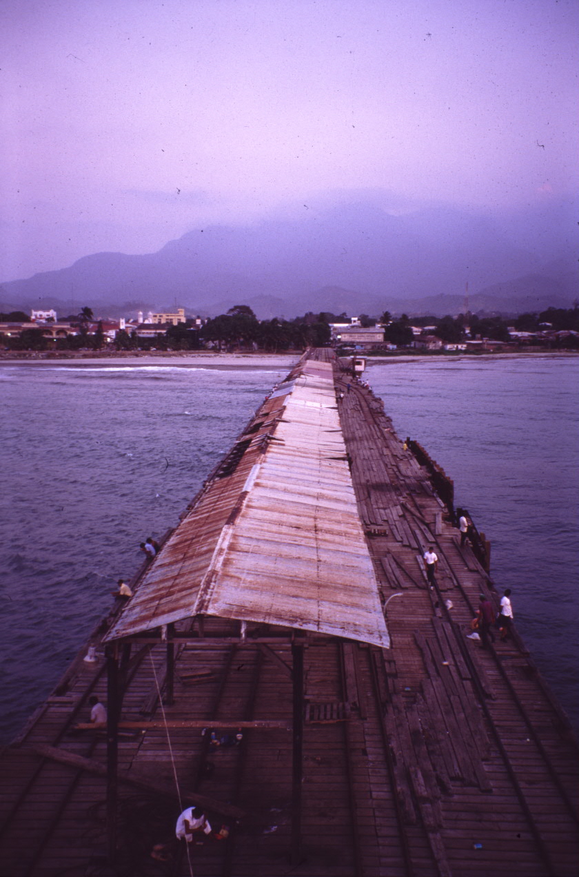
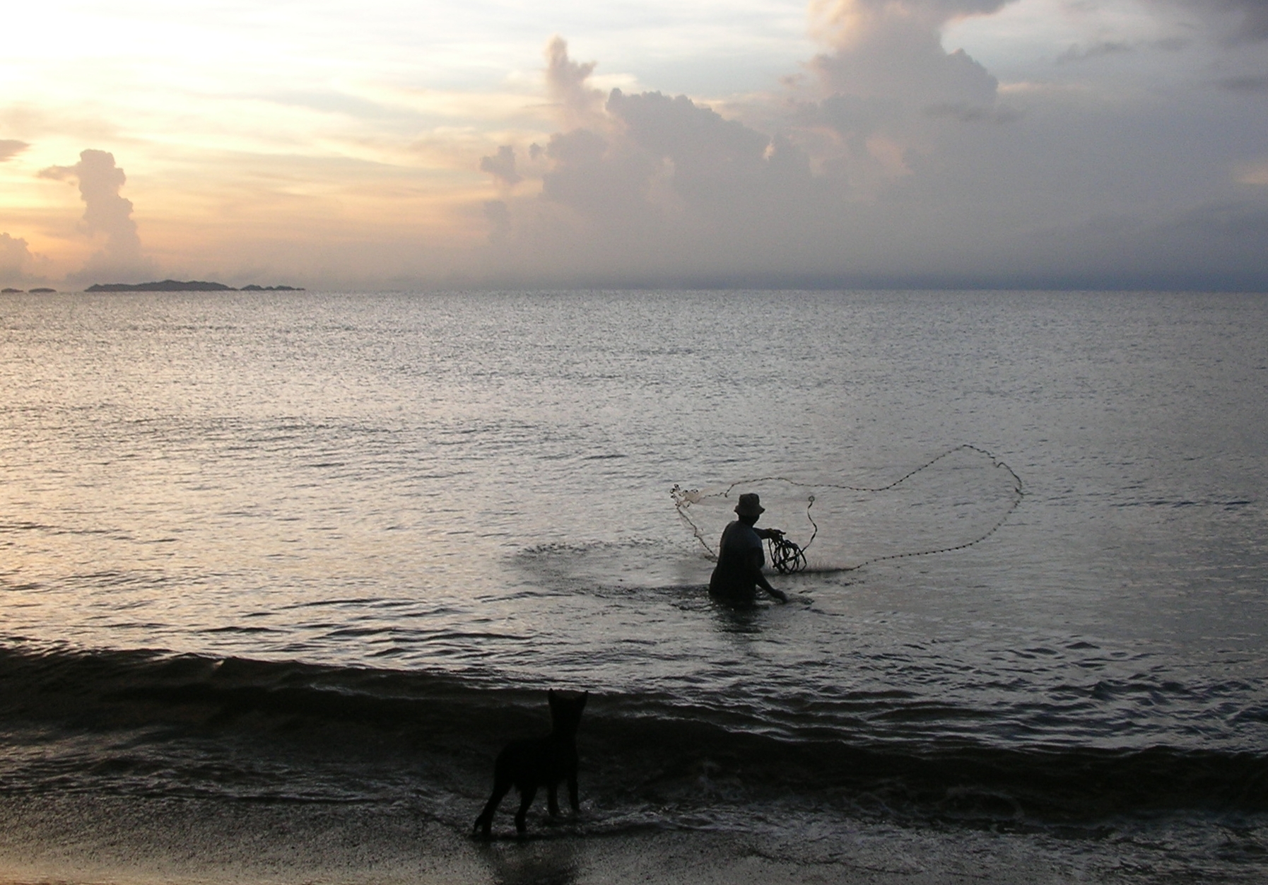
People who come back tend to time a morning around Lancetilla before the heat peaks, then spend the afternoon in Triunfo de la Cruz or Tornabe eating whatever the Garifuna cooks have on. The old dock is worth a look at dusk — locals fish from the concrete replacement, and the light across the bay at that hour is worth the walk.
How Tela came to be
Cristóbal de Olid founded the settlement on 3 May 1524, naming it Triunfo de la Cruz after the Catholic feast day on which he arrived. It spent the following centuries shuffled between departments — Yoro, Cortés, Atlántida — before receiving city status in March 1927.
The decisive chapter came in 1914, when the Tela Railroad Company, a subsidiary of United Fruit, made Tela its headquarters and turned it into the largest banana export port in the region. The company built Tela Nueva alongside the existing town, with racially segregated zones for its workforce. Floods in 1930 wiped out the banana plantations and closed the railroads; the company kept its headquarters here until 1970, leaving behind a golf course, the accounting building, and a town shaped around an industry that had already moved on.
Who and what shaped it
People who shaped it
Landmark buildings
See Tela in motion
Plan your visit
On the map
When to go
Tela is hot and humid year-round, with temperatures rarely straying outside 20–30°C and humidity sitting between 77 and 85 percent regardless of season. April is the driest window — around 45mm of rain spread over roughly two weeks, with over eleven hours of sun per day — while July and October bring the heaviest rainfall and the most overcast days.
Right now
Background & history adapted from Wikipedia (CC BY-SA) · specs from Wikidata (CC0) · weather from Open-Meteo · map data © OpenStreetMap contributors · photos from Wikimedia Commons / Unsplash with per-image credit. No third-party reviews or social posts reproduced.