
Washington D.C., USA
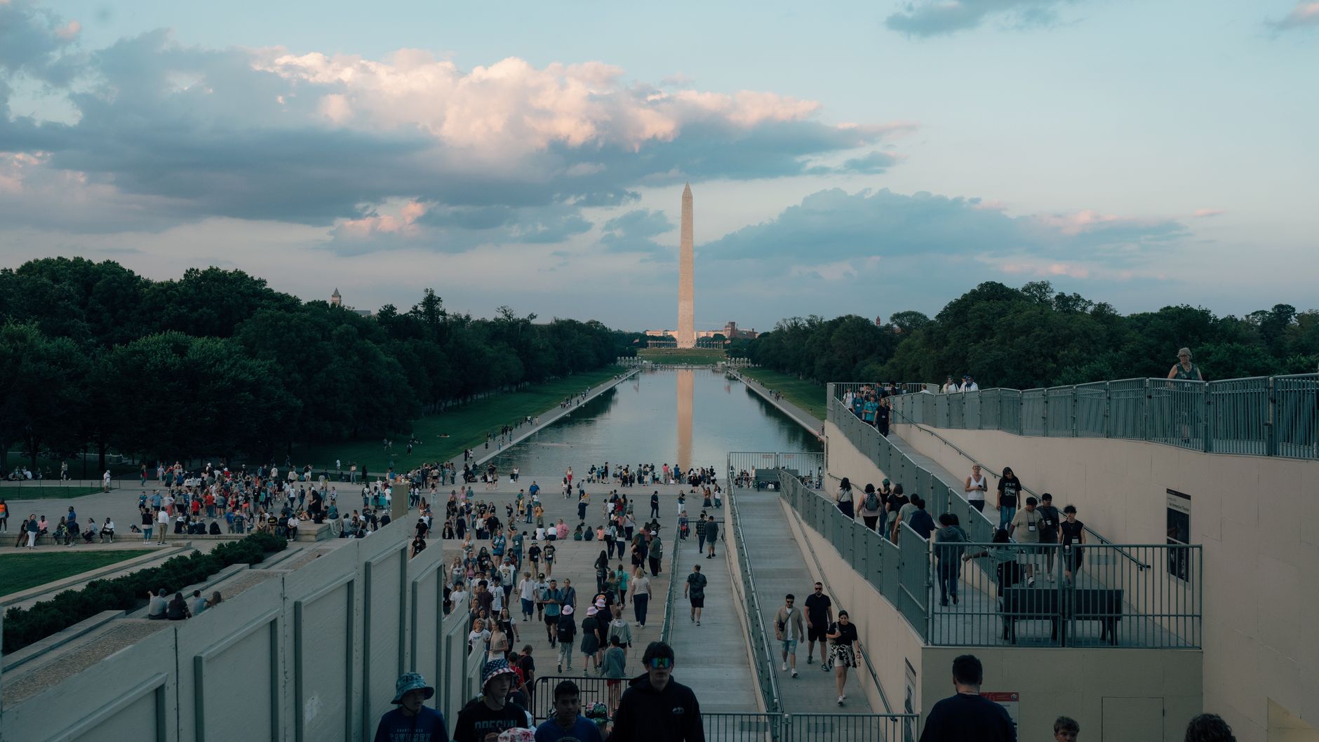
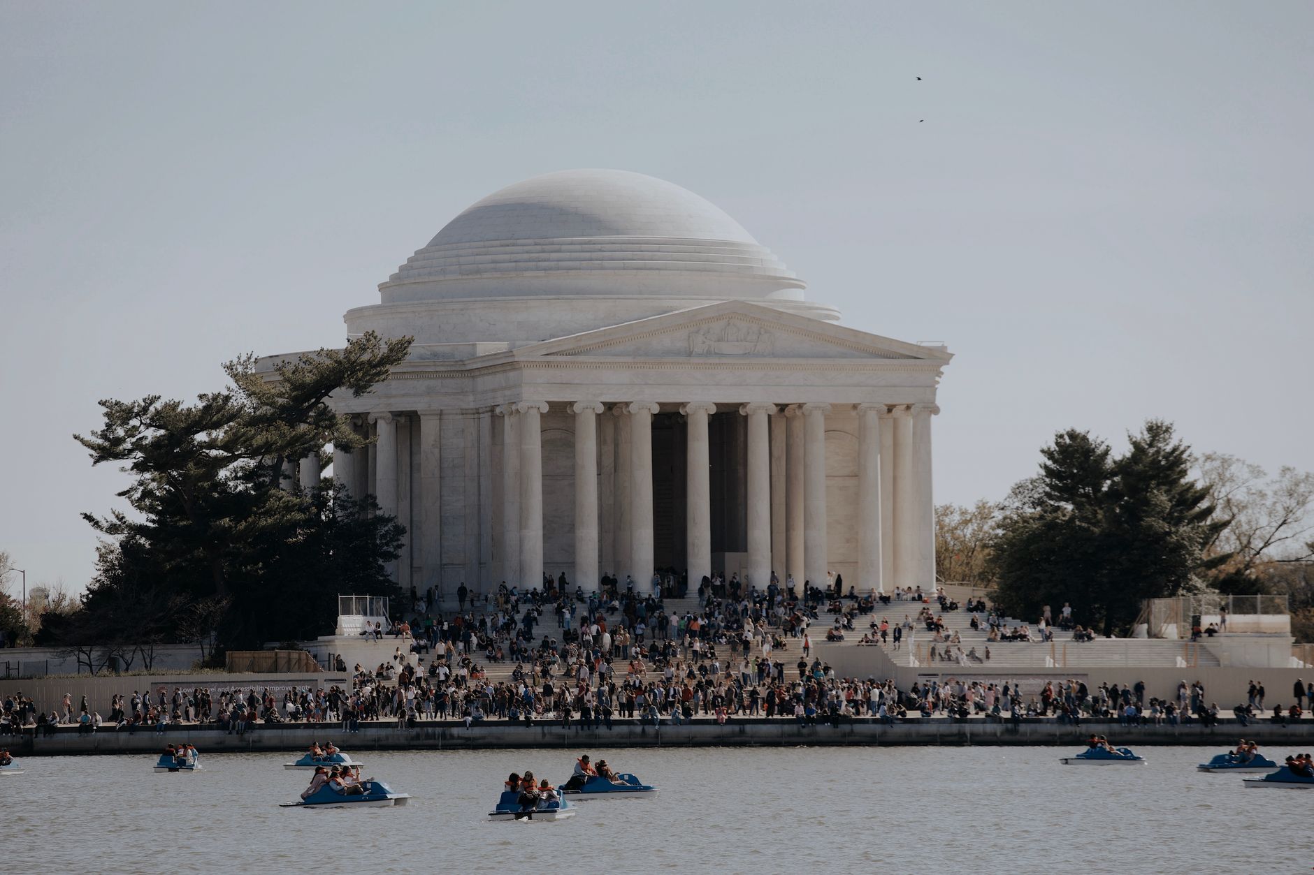
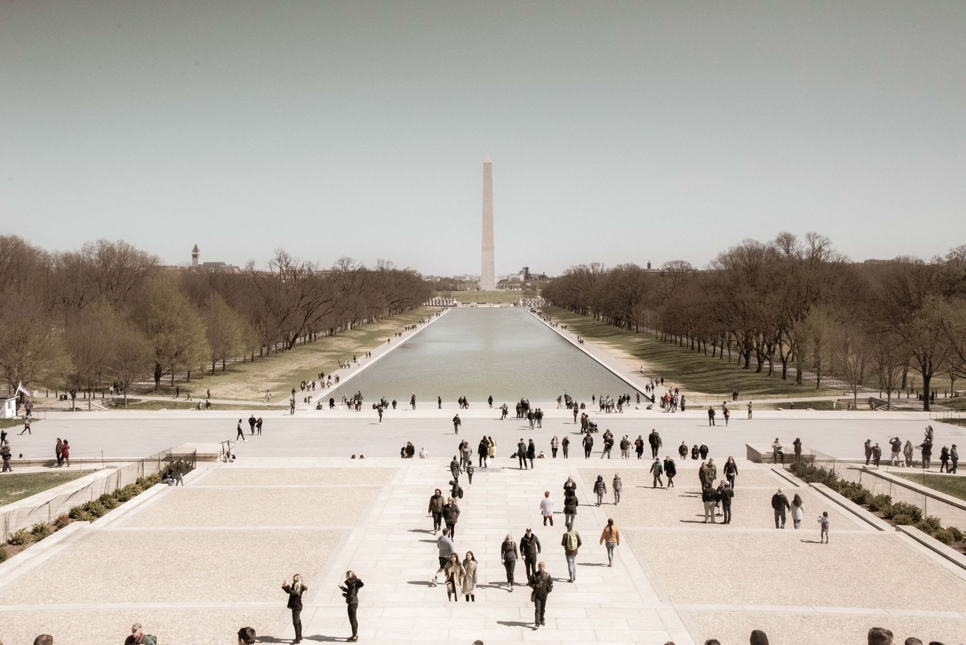
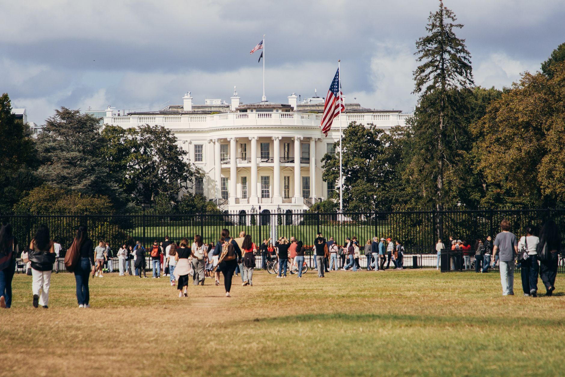
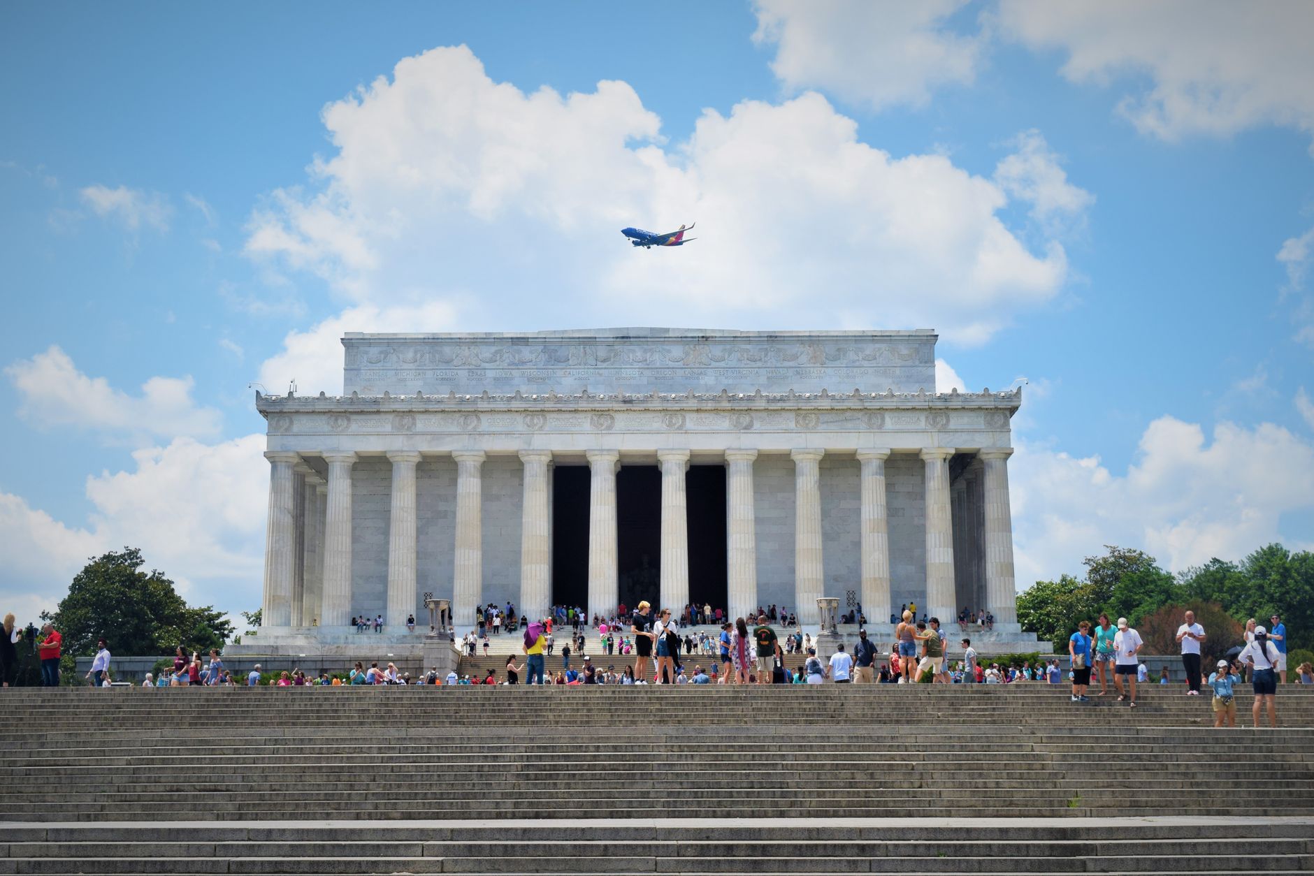
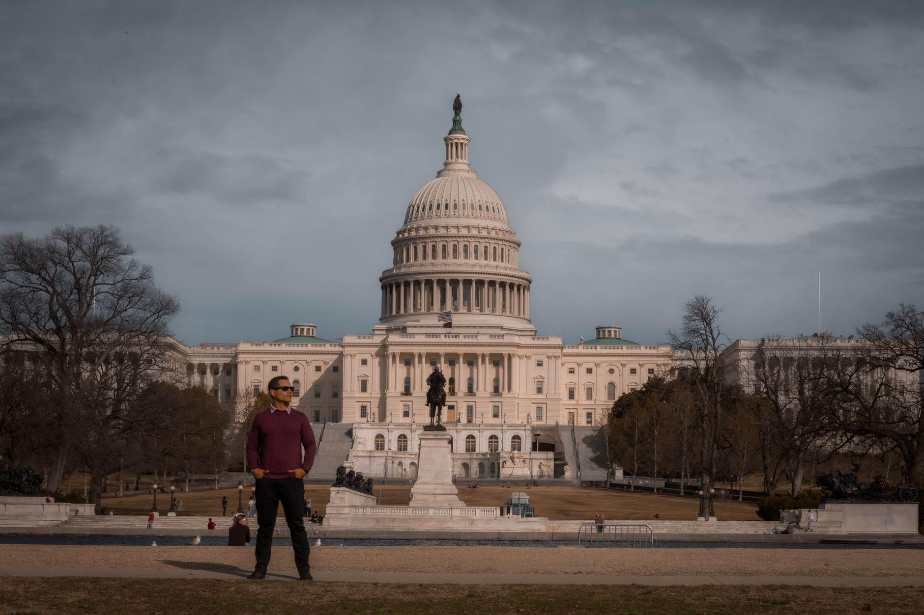
Washington D.C. was built from scratch on marshland along the Potomac River, and that intentionality still shows. The city is arranged around the Capitol like spokes on a wheel — a design laid out in 1791 by a French engineer who was fired before he could finish it. Two centuries later, his logic holds: you can orient yourself from almost anywhere by the sight of a dome or an obelisk.
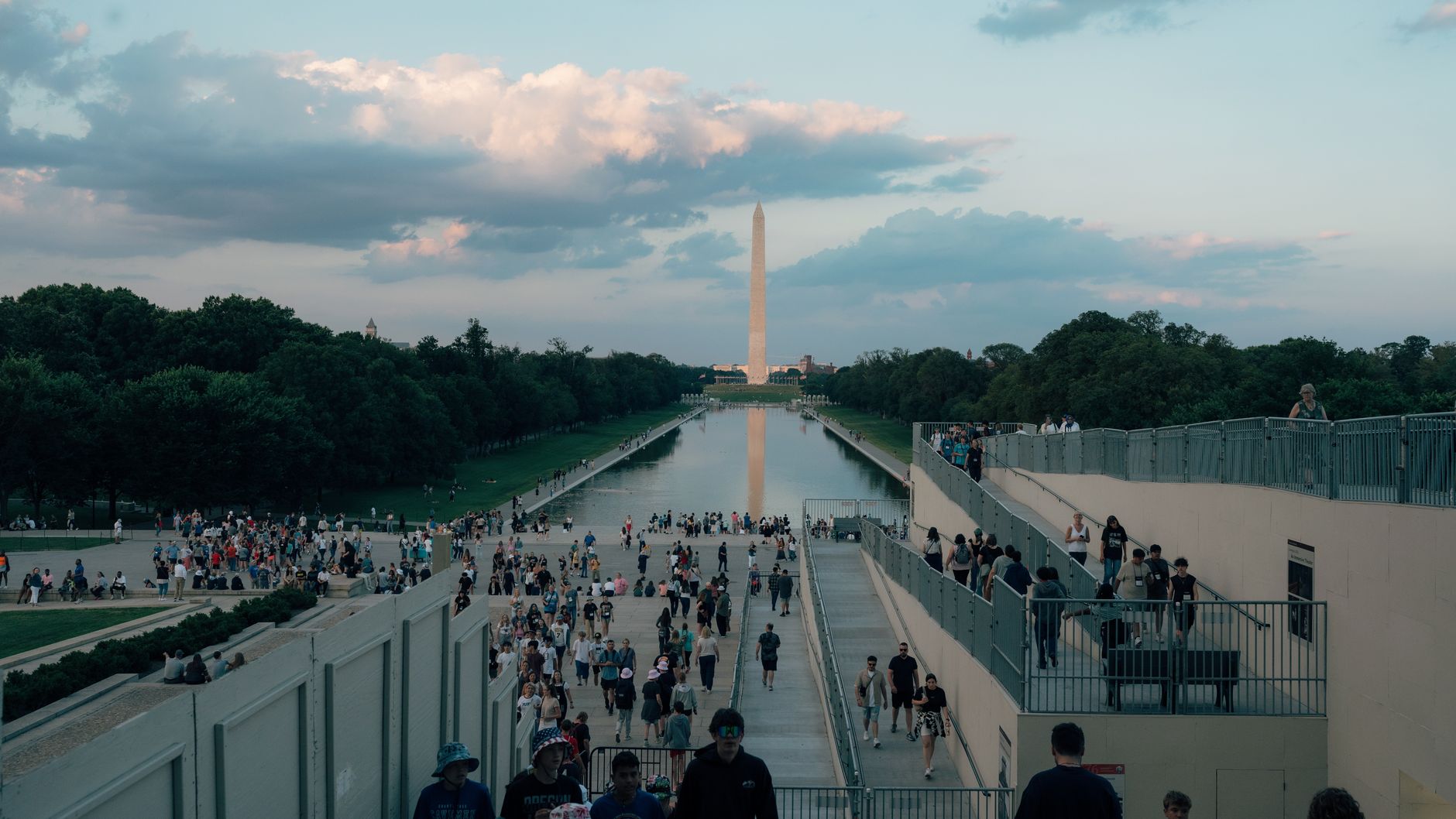
The National Mall, a two-mile strip of grass running from Capitol Hill toward the river, is where most first visits begin and end. Nearly everything along it — the memorials, the Smithsonian museums, the monuments — is free to enter, which is rarer in a capital city than you might expect.
Popular cities in Washington D.C., USA
💛 What travellers fall for
People who return tend to discover the city beyond the Mall: the jazz history rooted in Duke Ellington's old neighborhood, the reading rooms of the Library of Congress (170 million items, and the public is welcome), the Supreme Court building open on weekday mornings when the Mall crowds haven't yet spread that far. The escalator rule — stand right, walk left — is enforced with genuine conviction.
How Washington D.C., USA came to be
Congress authorized a federal district along the Potomac in 1790, and a year later George Washington commissioned Pierre Charles L'Enfant — a French volunteer from the Revolutionary War — to design the city. L'Enfant arrived in Georgetown on a rainy night in March 1791 and placed the Capitol at the center, with diagonal avenues radiating outward. He was removed from the project in 1792, before it was complete. Construction on the Capitol itself began in 1793; the White House followed in October of that same year and was finished by November 1800.
British forces burned much of the city during the War of 1812, and the Mall remained an unfinished patchwork for decades. In 1901, the McMillan Plan was proposed to finally realize L'Enfant's original vision, including expanding the National Mall into the wide, formal corridor it is today.
Who and what shaped it
People who shaped it
Landmark buildings
See Washington D.C., USA in motion
Plan your visit
On the map
When to go
Spring (March through May) brings the famous cherry blossoms and manageable temperatures, but also the city's heaviest crowds. Summer is hot and humid — genuinely so — while fall offers cooler air and thinner lines. Winter is cold but rarely extreme, and the monuments look striking under low grey skies.
Right now
↡ Cities



Background & history adapted from Wikipedia (CC BY-SA) · specs from Wikidata (CC0) · weather from Open-Meteo · map data © OpenStreetMap contributors · photos from Wikimedia Commons / Unsplash with per-image credit. No third-party reviews or social posts reproduced.