
New York City, USA

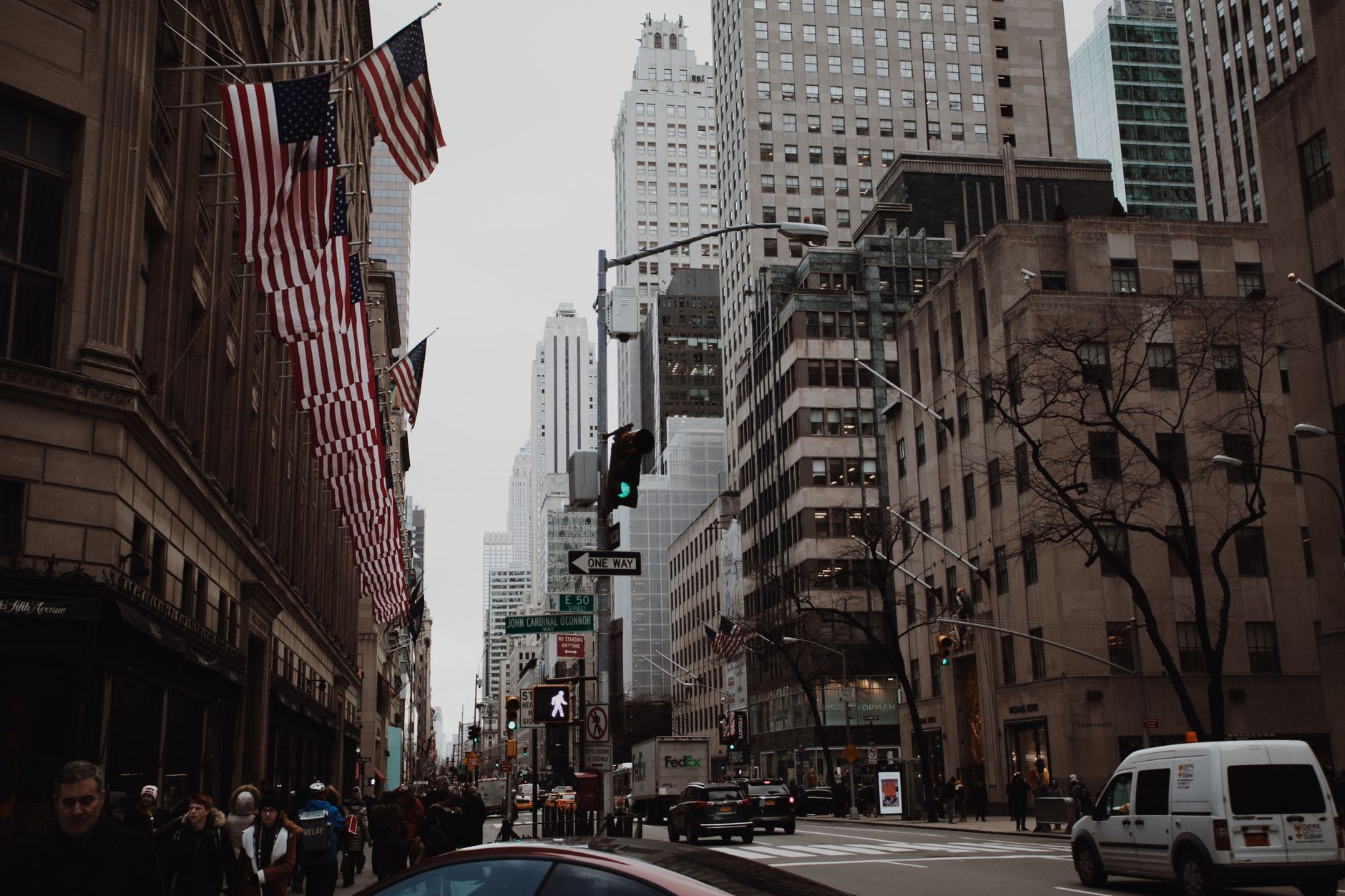
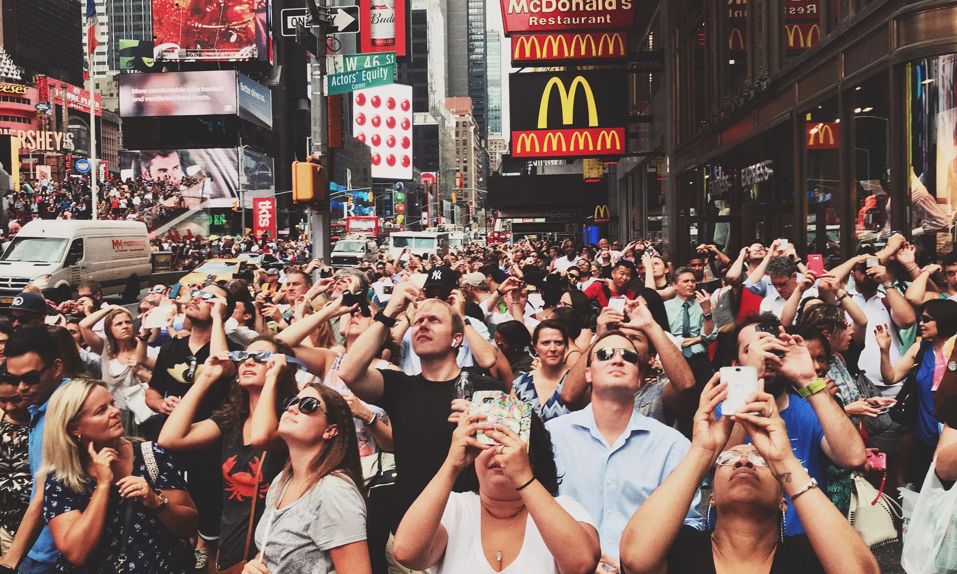


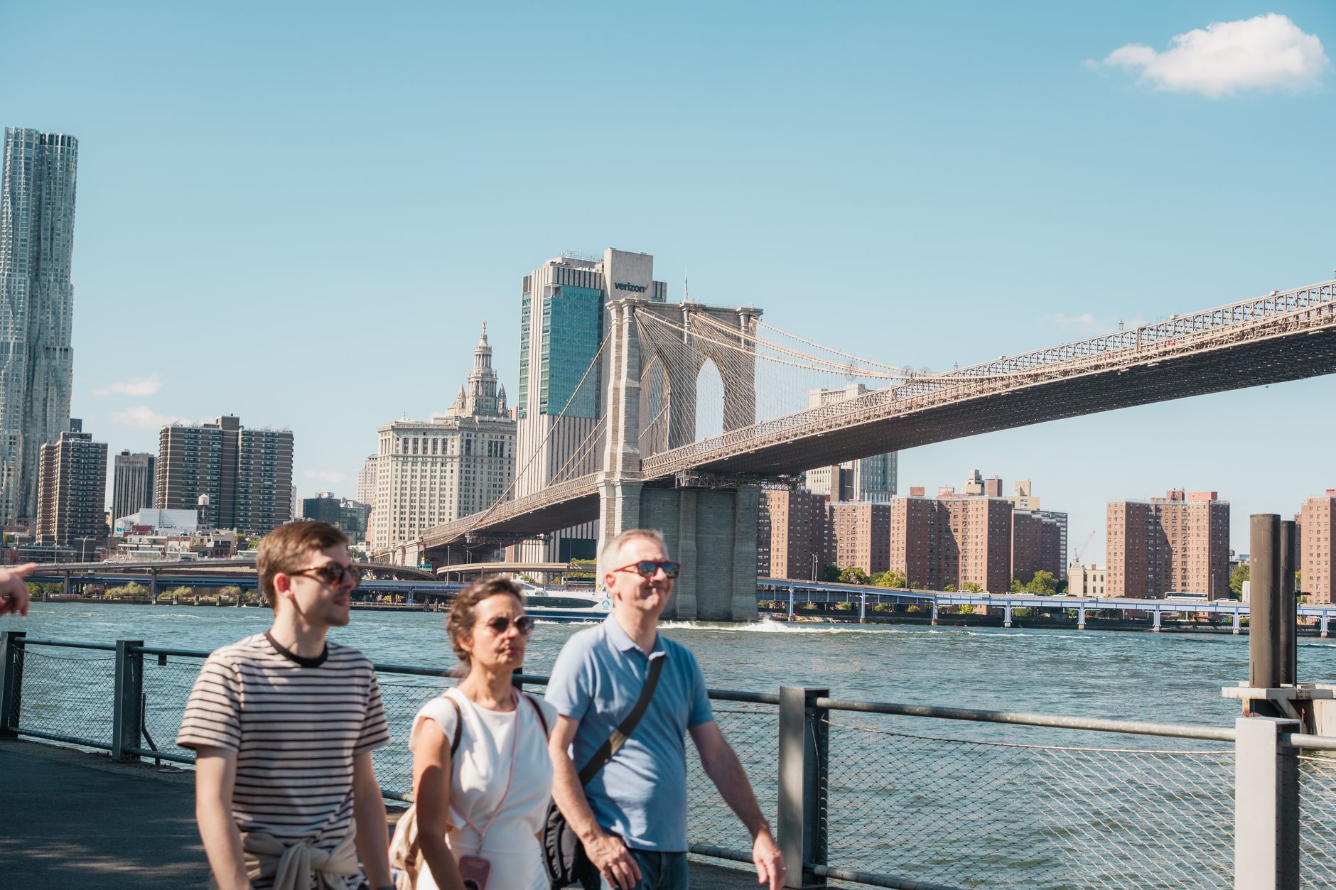
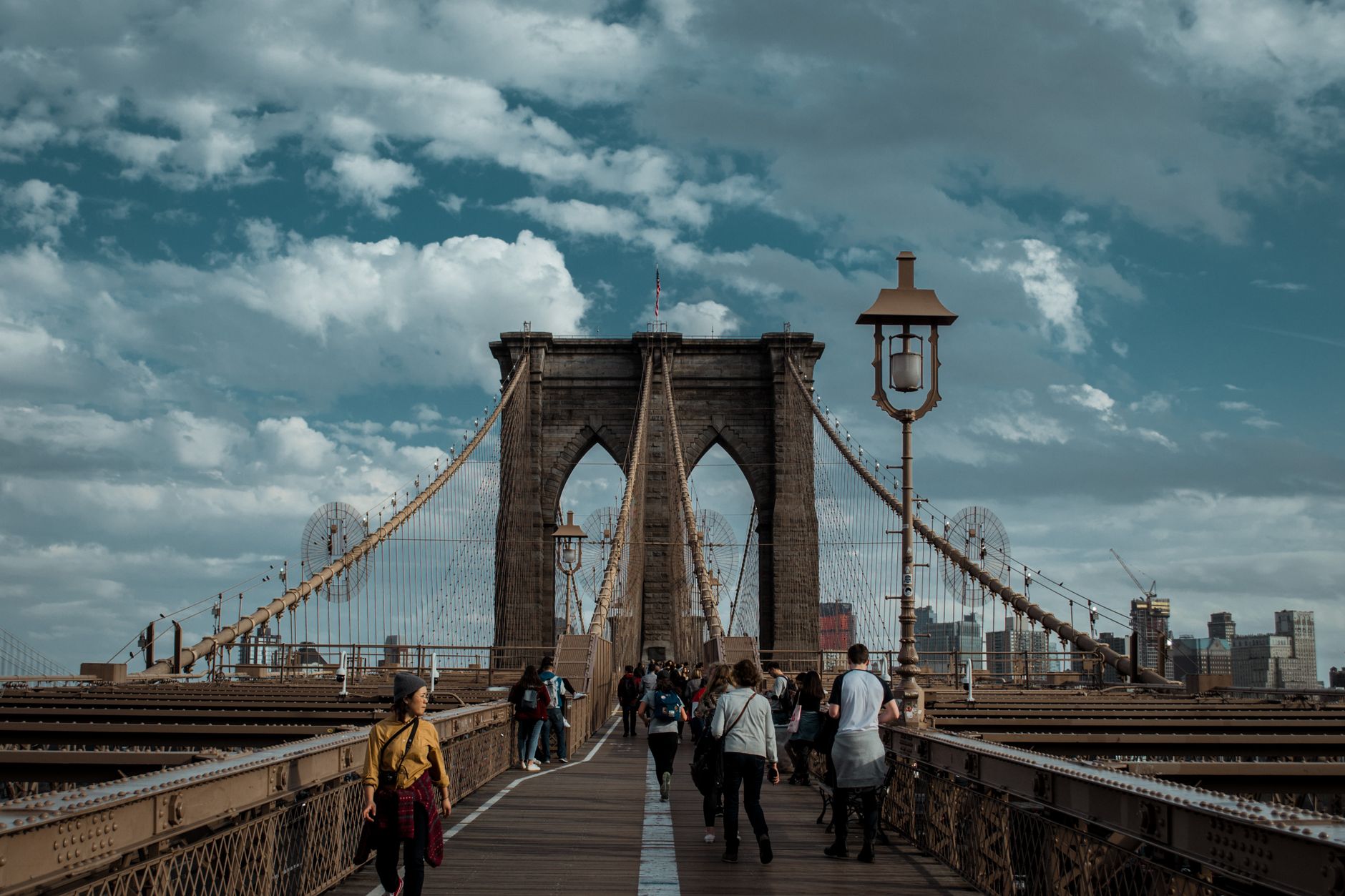
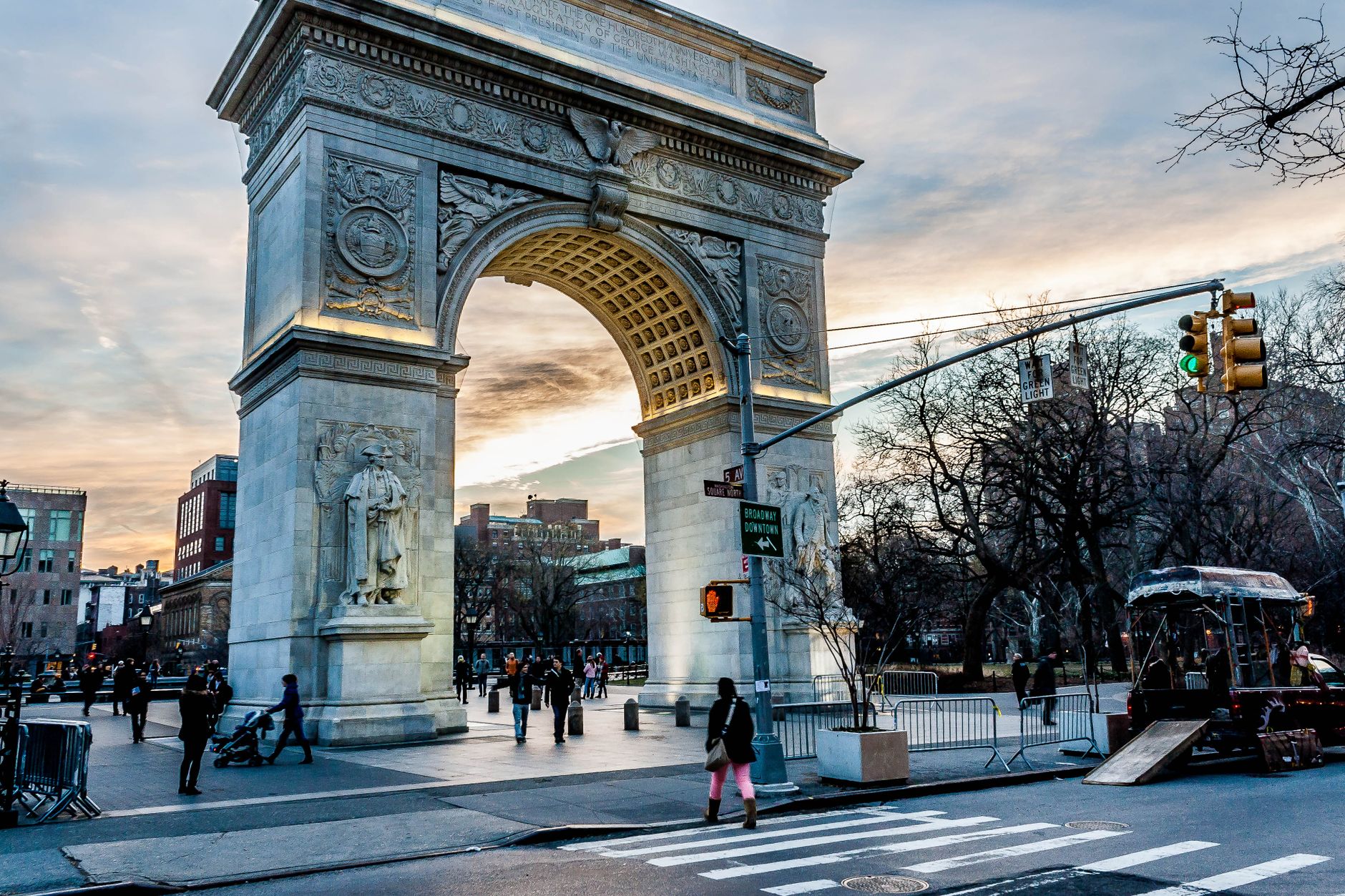
The grid is the first thing you understand about New York — that 1811 decision to impose order on an unruly island, all numbered streets marching north while the avenues run parallel beside them. Everything else is improvisation within that frame: the Flatiron Building wedged into an impossible triangular lot where Broadway cuts diagonally across Fifth Avenue, the Brooklyn Bridge arcing over the East River since 1883, the subway running beneath it all, twenty-four hours a day, across 472 stations.
Five boroughs consolidated into one city in 1898, and they've never entirely agreed on what that city is. That argument — between Manhattan and Brooklyn, between old money and new arrivals, between the grid and what refuses to fit inside it — is more or less the point.
Popular cities in New York City, USA
💛 What travellers fall for
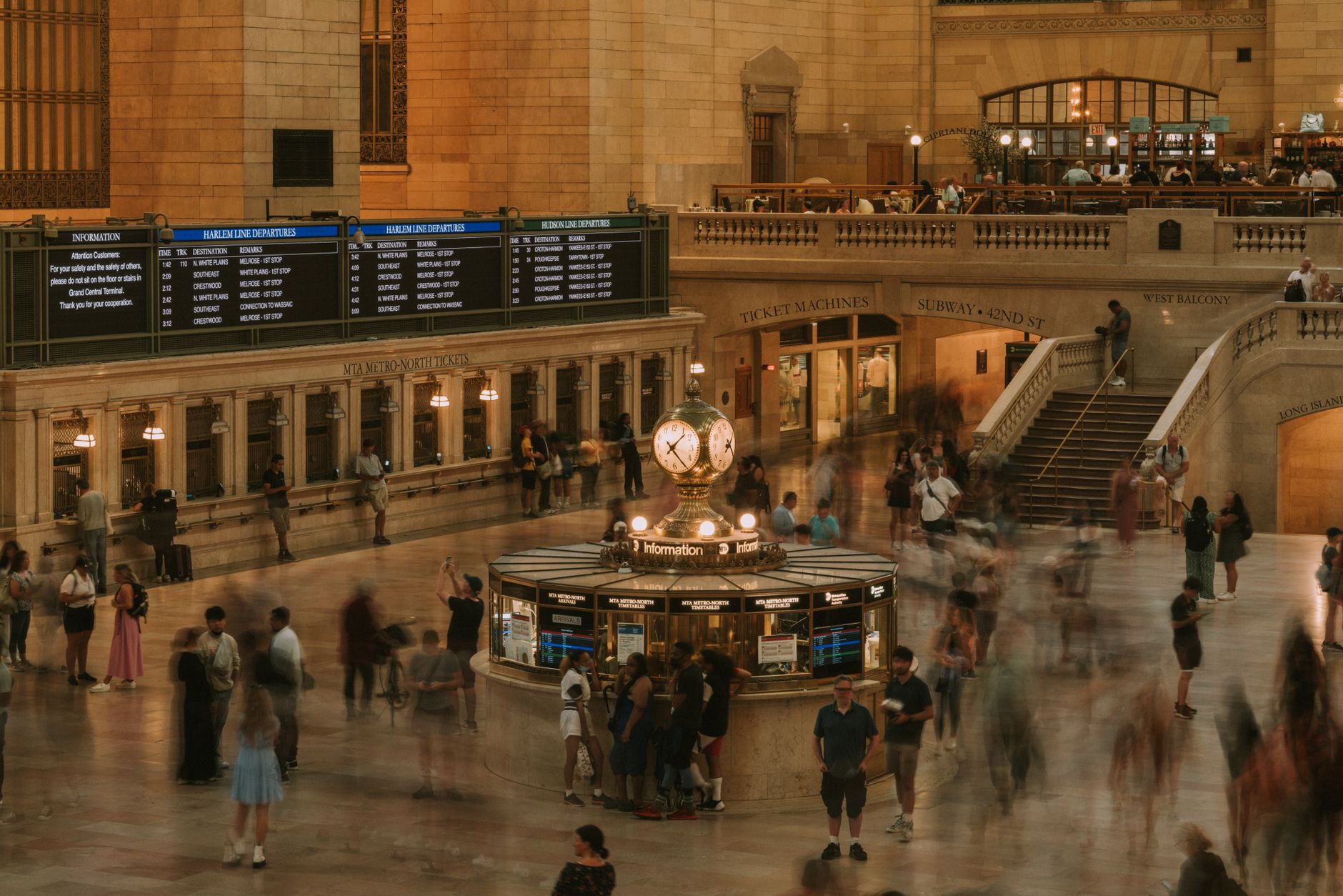
People who know the city tend to stop buying MetroCards and load the OMNY tap-to-pay instead. They'll tell you the 4, 5, and 6 trains run more reliably than most, that Grand Central's lower concourse has better lunch options than almost anywhere nearby, and that the Guggenheim's ramp reads differently depending on which direction you walk it.
How New York City, USA came to be
The Dutch were first, establishing New Amsterdam at the southern tip of Manhattan in 1624. Governor Peter Minuit's purchase of the island from the local Lenape people followed in 1626. The British took it in 1664, renamed it New York, and the city began its long reinvention. By 1825 the Erie Canal had made it the commercial hinge of the continent.
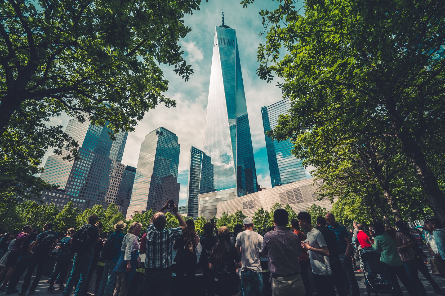
The 1811 Commissioners' Plan drew the grid that still governs Manhattan's logic. The five boroughs — Manhattan, Brooklyn, Queens, the Bronx, Staten Island — were consolidated in 1898. The twentieth century layered in the rest: Robert Moses reshaping infrastructure across decades, La Guardia holding the city together through depression and war, and a skyline that kept revising itself upward.
Who and what shaped it
People who shaped it
Landmark buildings
See New York City, USA in motion
Plan your visit
On the map
When to go
Summers are long, hot, and humid, with temperatures regularly climbing above 30°C and thunderstorms arriving most late afternoons. Winters are cold and occasionally sharp — January averages around -1°C, and the city does get real snow. Spring and early autumn are the most comfortable seasons for walking, which is ultimately how you learn the place.
Right now
↡ Cities







Background & history adapted from Wikipedia (CC BY-SA) · specs from Wikidata (CC0) · weather from Open-Meteo · map data © OpenStreetMap contributors · photos from Wikimedia Commons / Unsplash with per-image credit. No third-party reviews or social posts reproduced.