
Banff National Park, Canada
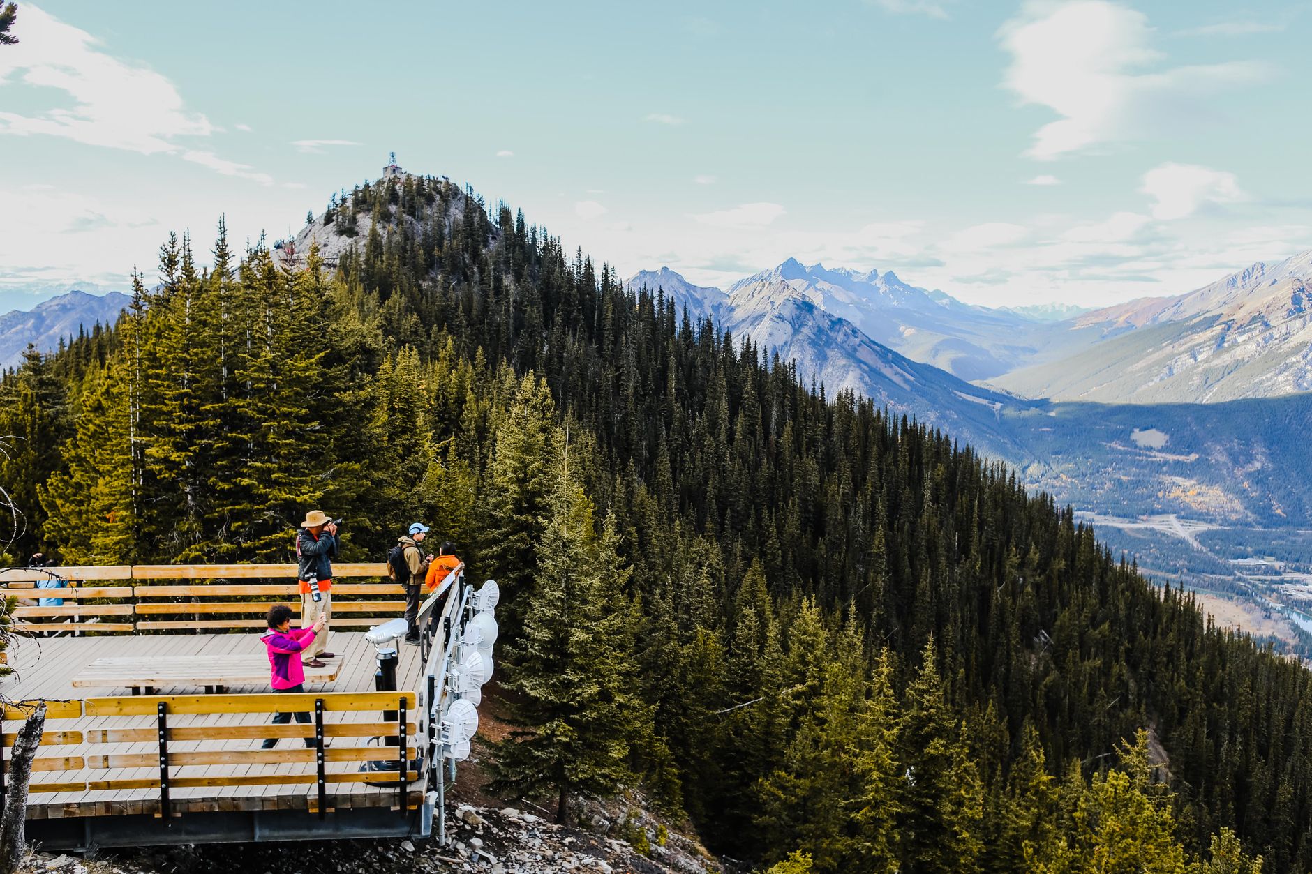
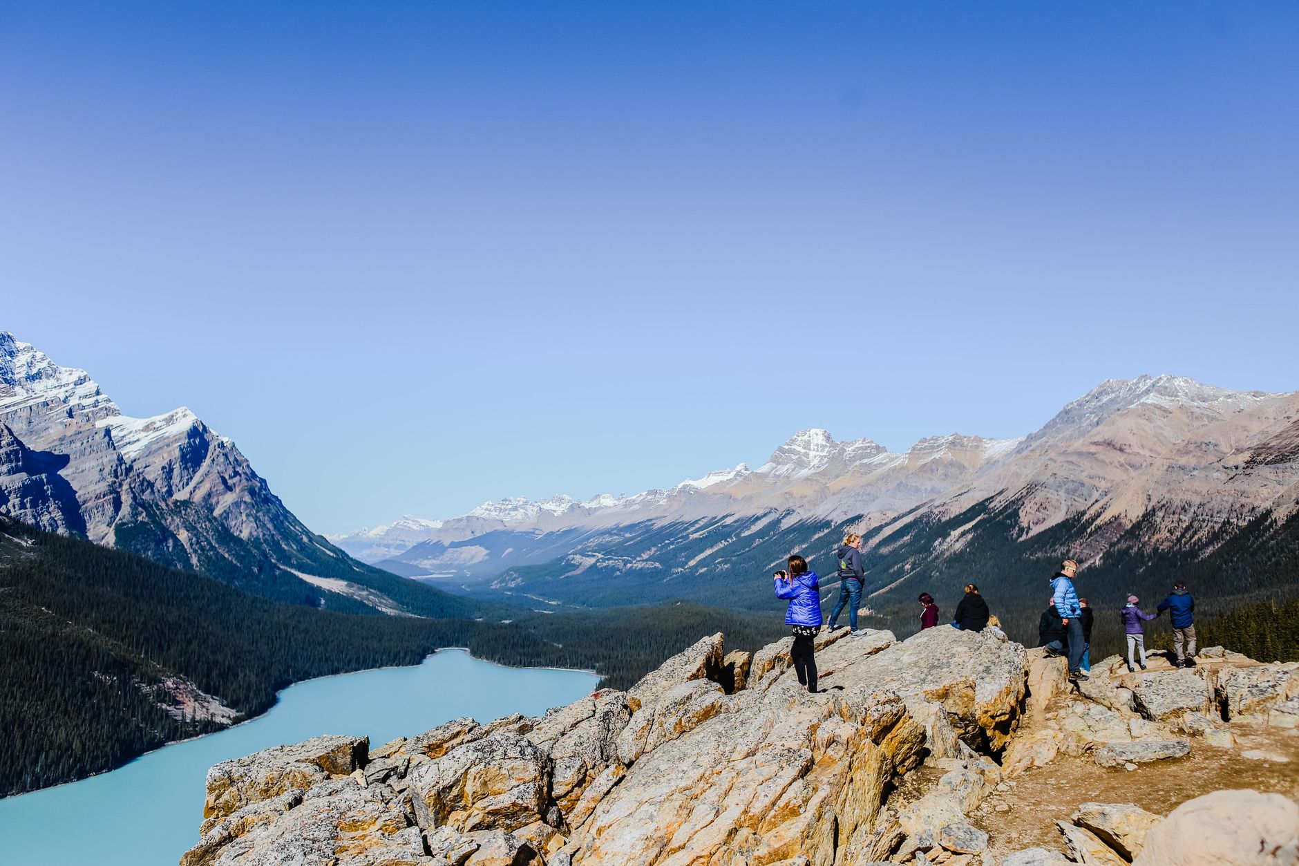
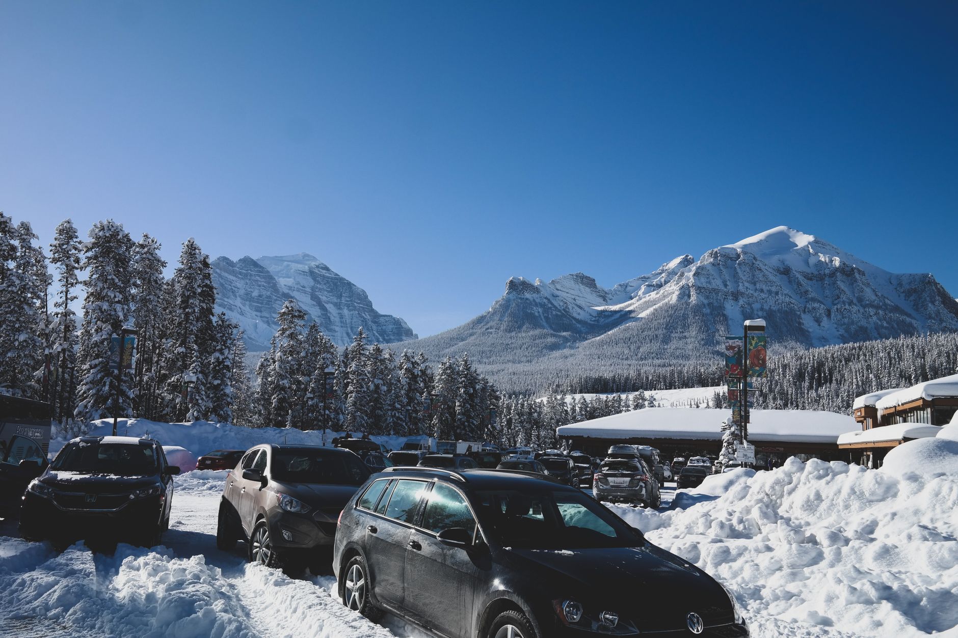
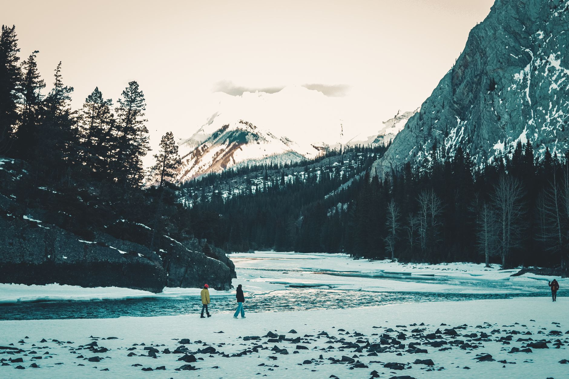
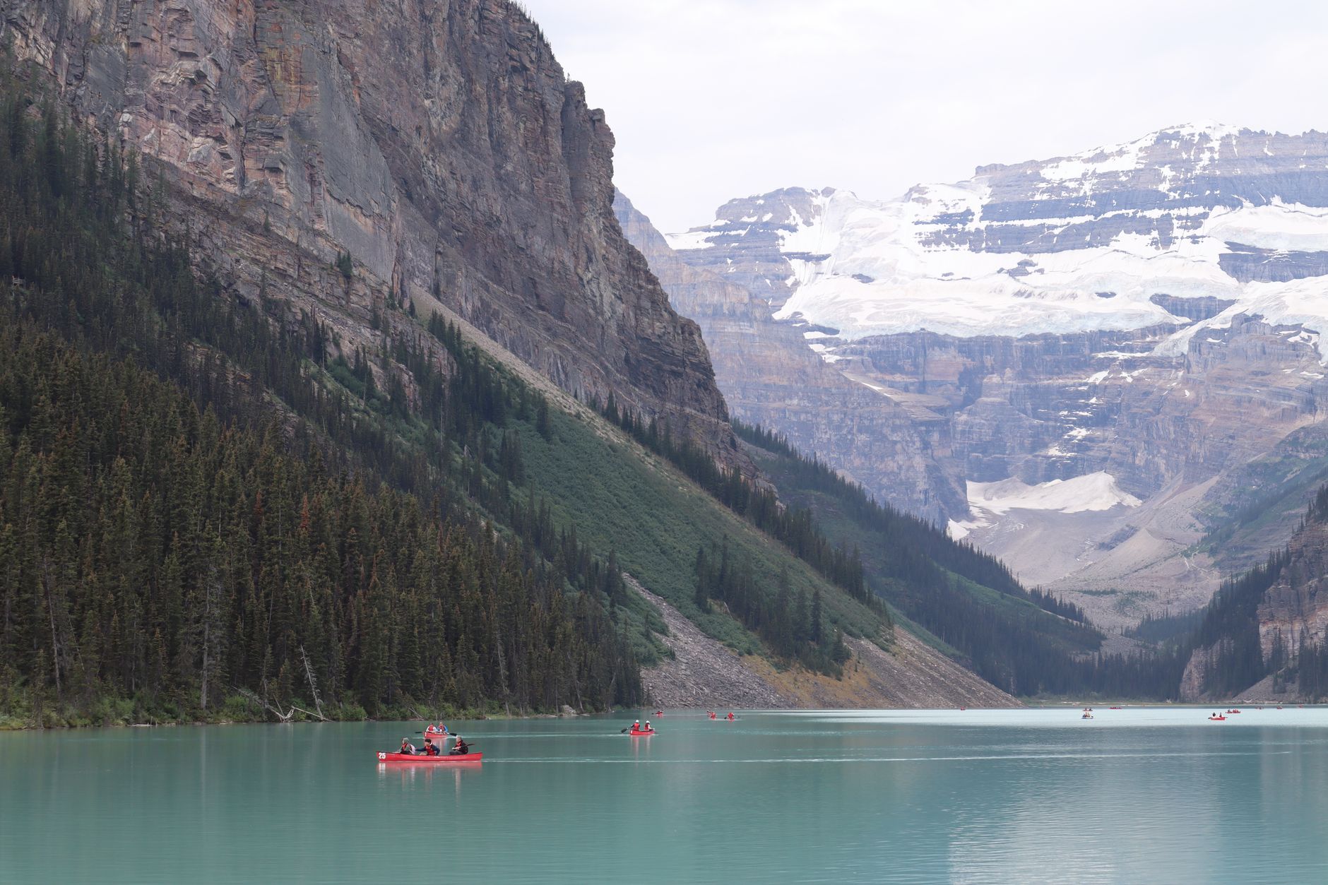
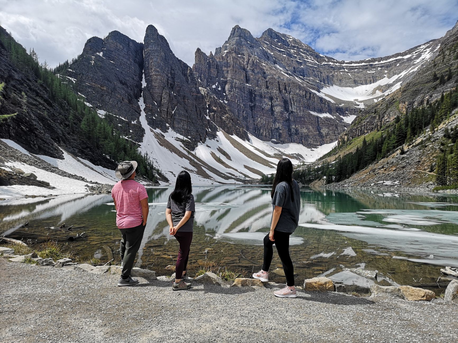
The parking lot at Lake Louise fills before sunrise in summer — that detail tells you something about Banff National Park's relationship with its own fame. Across 6,641 square kilometres of the Canadian Rockies, you'll find glacial lakes the colour of antifreeze, limestone peaks that change hour by hour in the light, and a Trans-Canada Highway threading through it all.
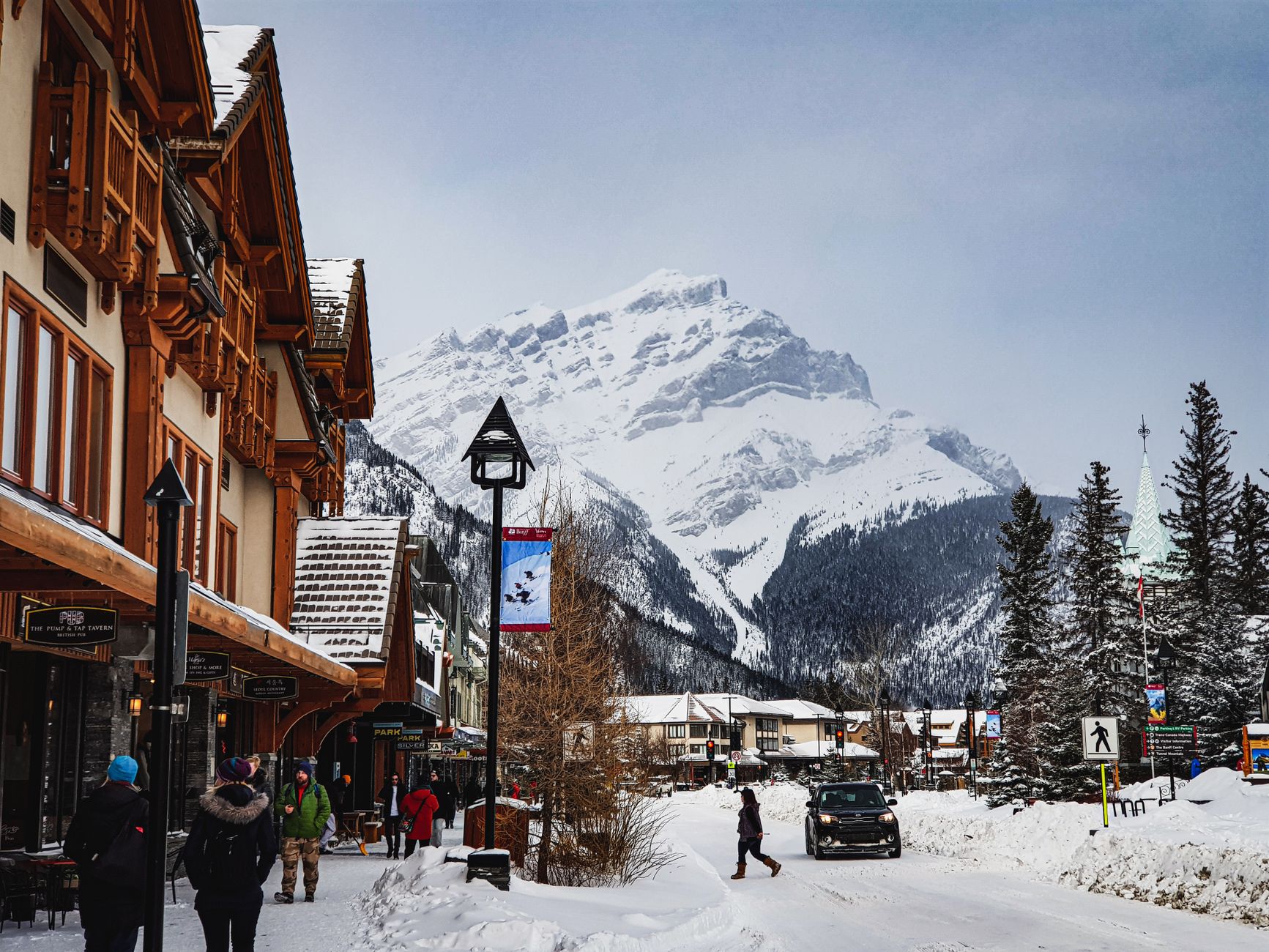
The park holds two townsites — the town of Banff and the hamlet of Lake Louise, 54 kilometres northwest — each with places to sleep, eat and resupply. Everything else is mountain, river, forest and the particular quiet that arrives when you walk ten minutes off any trail.
Popular cities in Banff National Park, Canada
💛 What travellers fall for
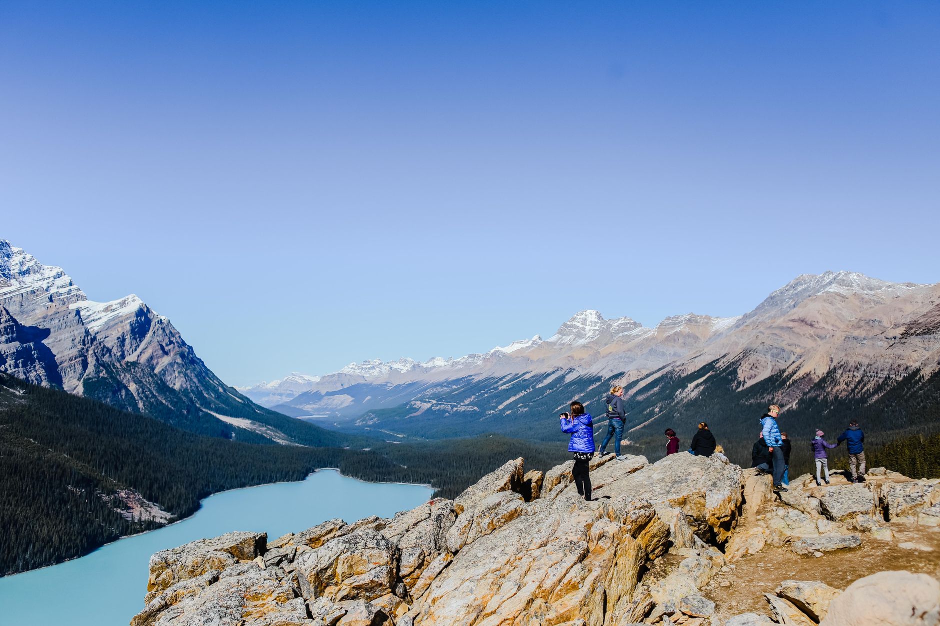
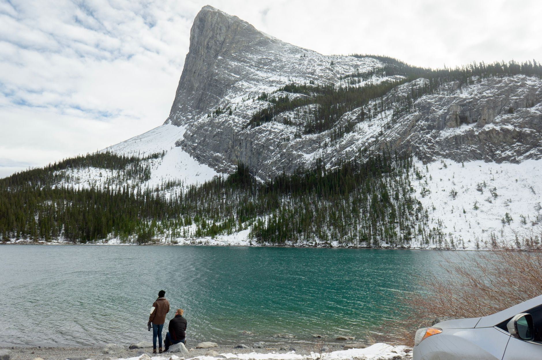
People who keep coming back tend to say the same thing: go earlier or later than you think you need to. The Bow Valley Parkway before 8am in June is a different road than it is at noon. Moraine Lake in September, after the crowds thin, earns its reputation in a way July rarely allows.
How Banff National Park, Canada came to be
Banff's origin is a property dispute. In 1883, Canadian Pacific Railway workers came across hot springs above the Bow River valley, and competing claims over who owned the commercial rights prompted Prime Minister John A. Macdonald to set aside 26 square kilometres around Cave and Basin as a federal reserve in 1885 — Canada's first national park. The intent was less conservation than revenue: CPR general manager William Cornelius Van Horne saw the Rockies as a reason to ride the railway, and the Banff Springs Hotel followed in 1888.
The park's early decades were not without cost. The Stoney Nakoda First Nation, for whom Cave and Basin held cultural and spiritual significance, were removed from the park between 1890 and 1920. During World War One, immigrants from Austria-Hungary, Germany and Ukraine were interned at Castle Mountain and Cave and Basin. The park reached its present size of 6,641 km² in 1949.
Who and what shaped it
People who shaped it
Landmark buildings
See Banff National Park, Canada in motion
Plan your visit
On the map
When to go
Summers run warm and dry in the valleys — July highs around 22°C — but afternoon thunderstorms are common at elevation and snow can fall on high passes any month of the year. Winters are cold and long, with January temperatures regularly dropping below -15°C, though the park has operated year-round since 1968.
Right now
↡ Cities
Background & history adapted from Wikipedia (CC BY-SA) · specs from Wikidata (CC0) · weather from Open-Meteo · map data © OpenStreetMap contributors · photos from Wikimedia Commons / Unsplash with per-image credit. No third-party reviews or social posts reproduced.