
Banff
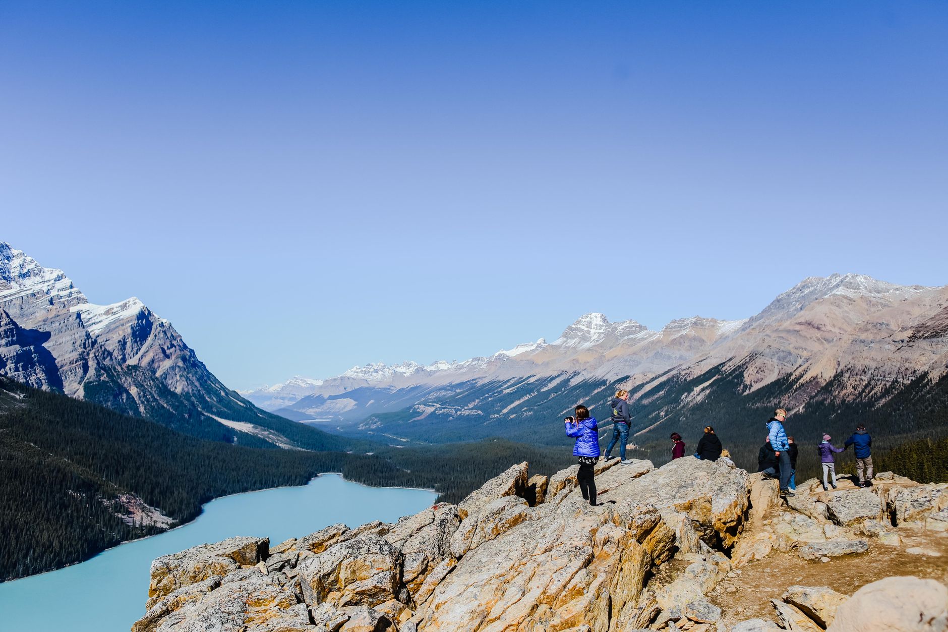
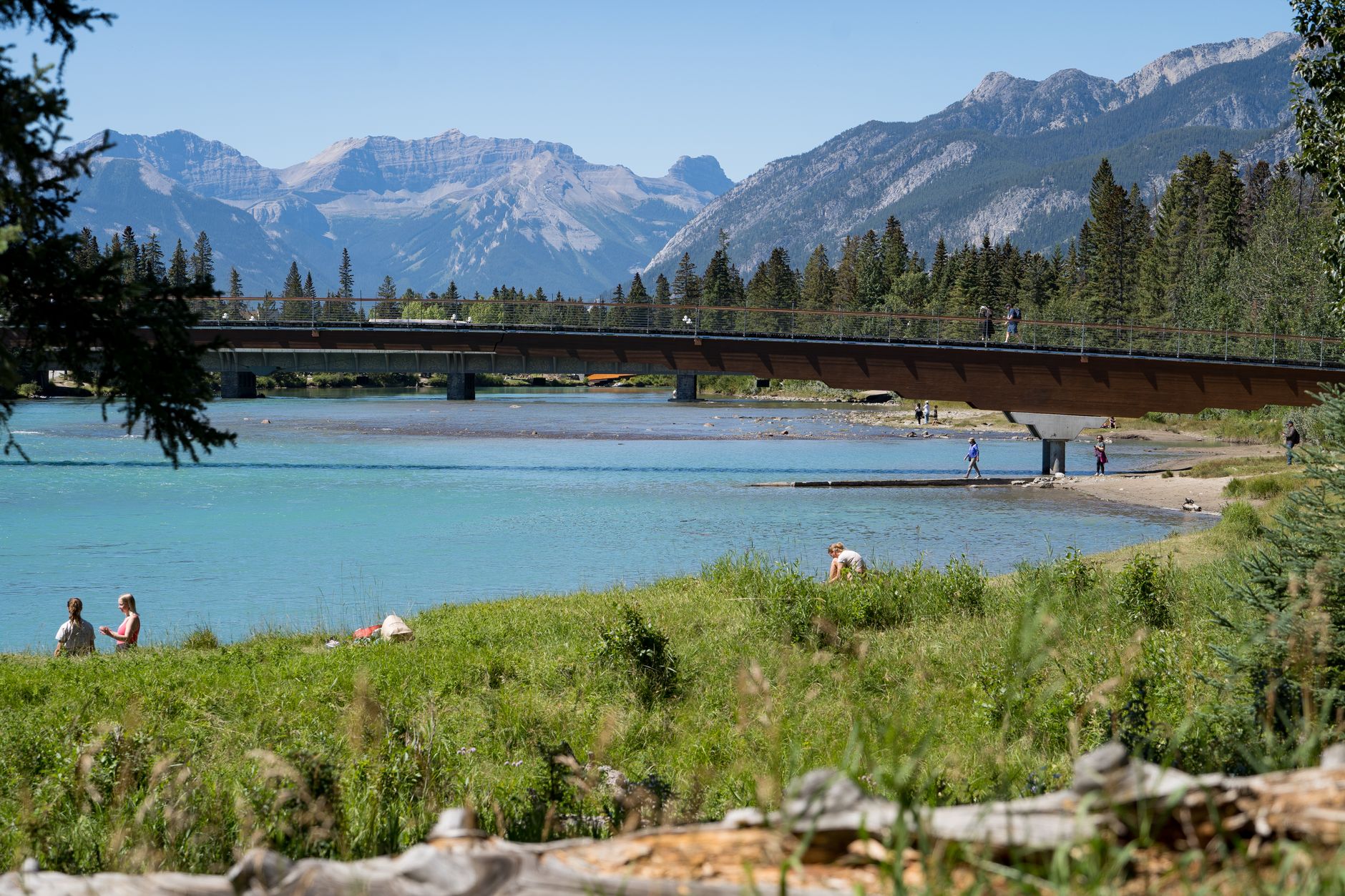
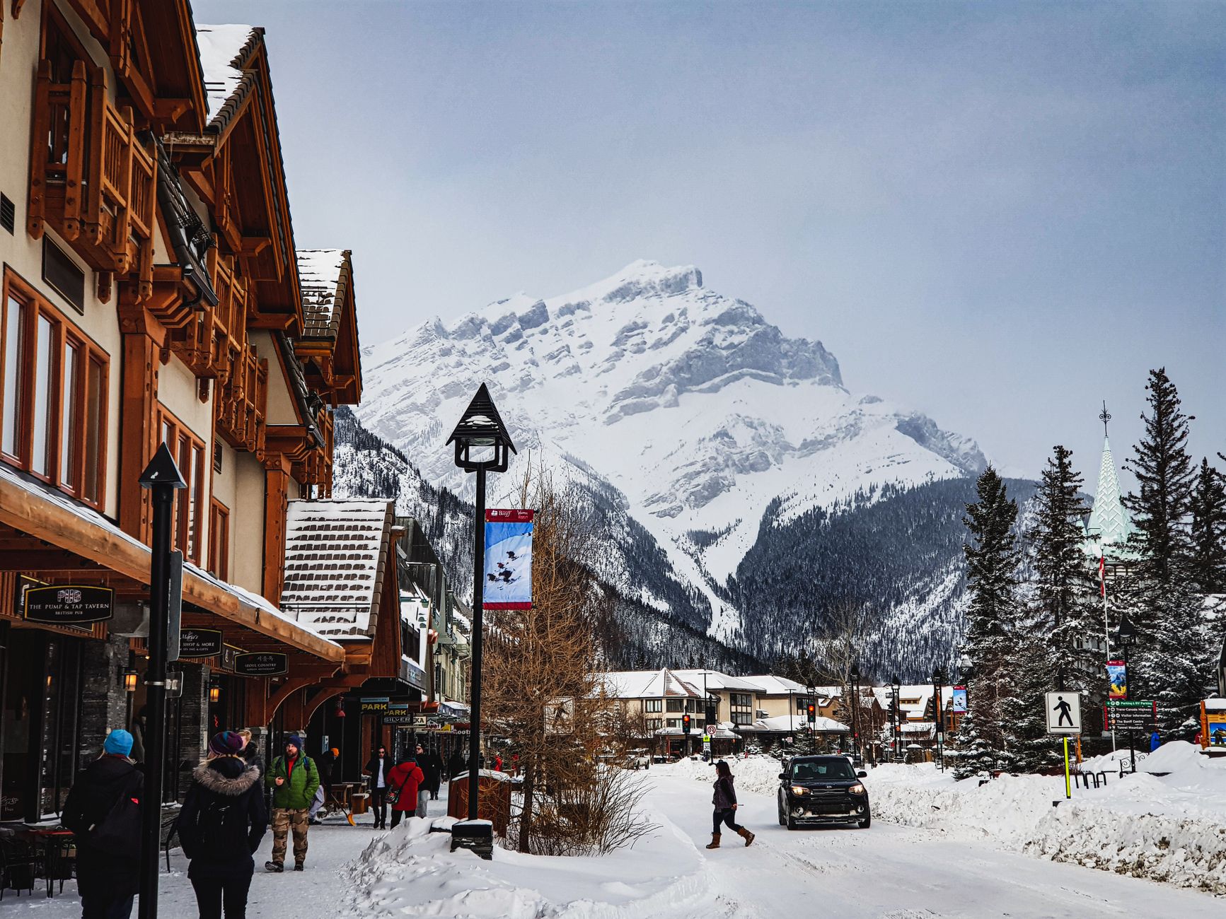
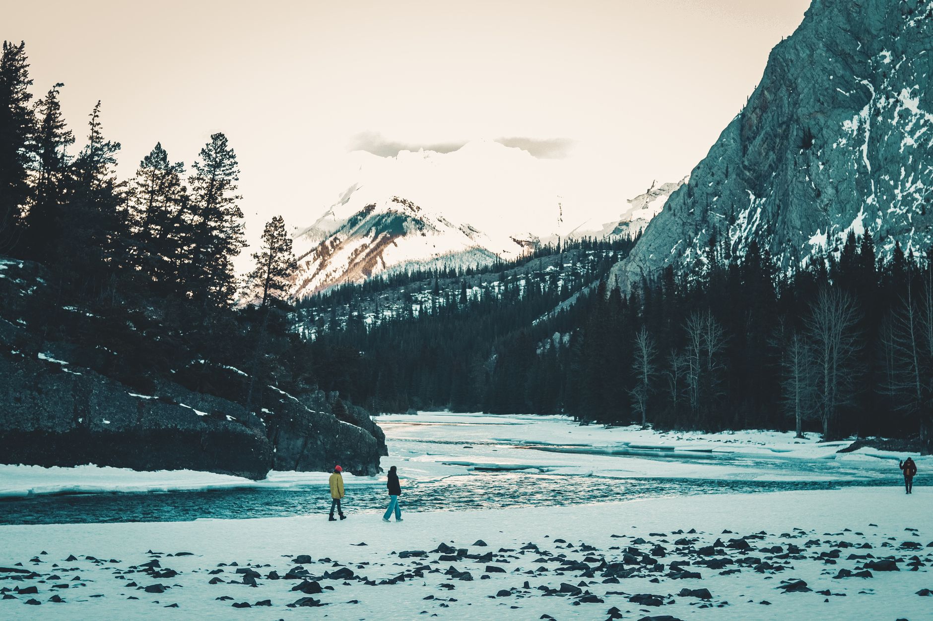
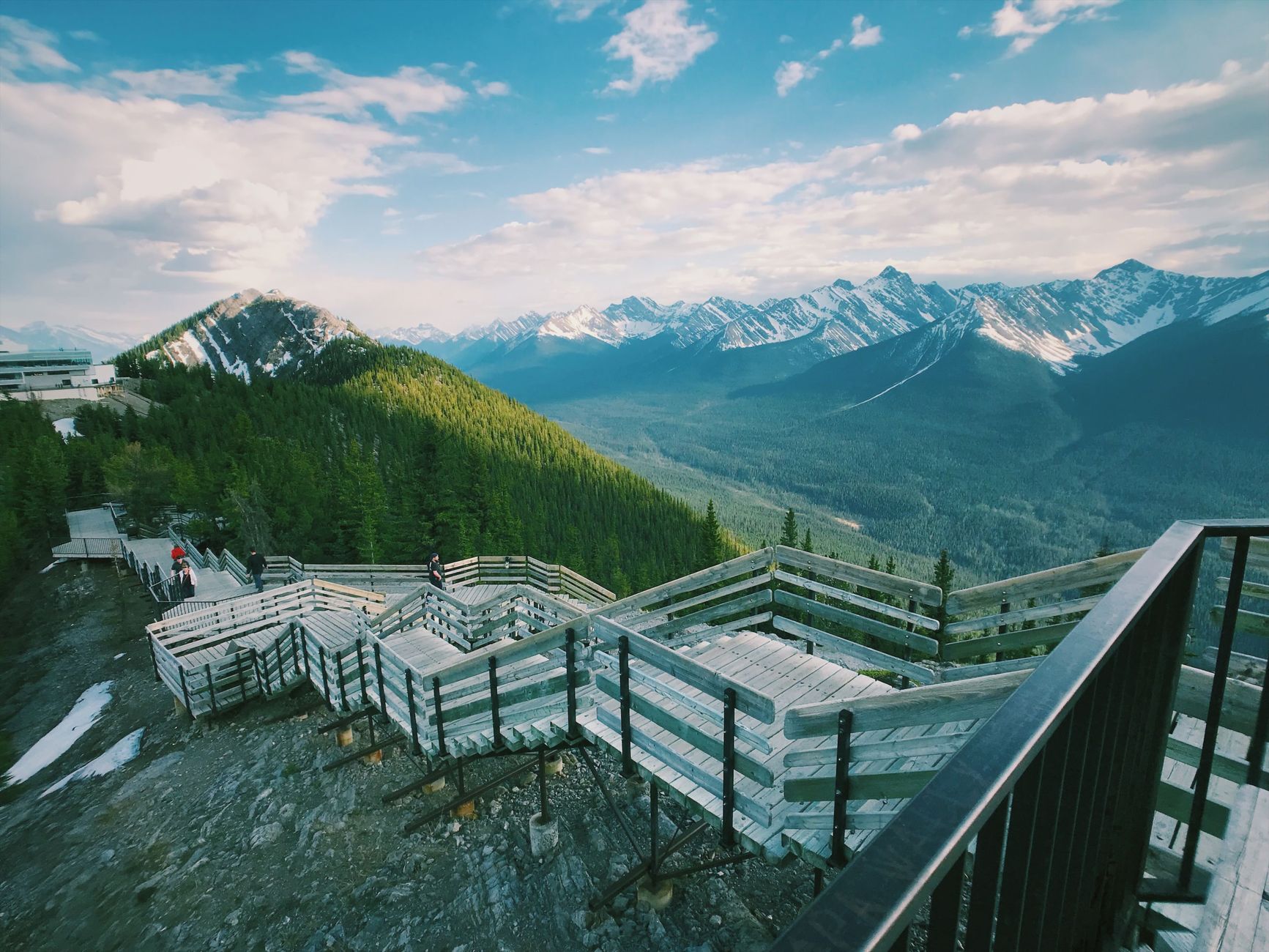
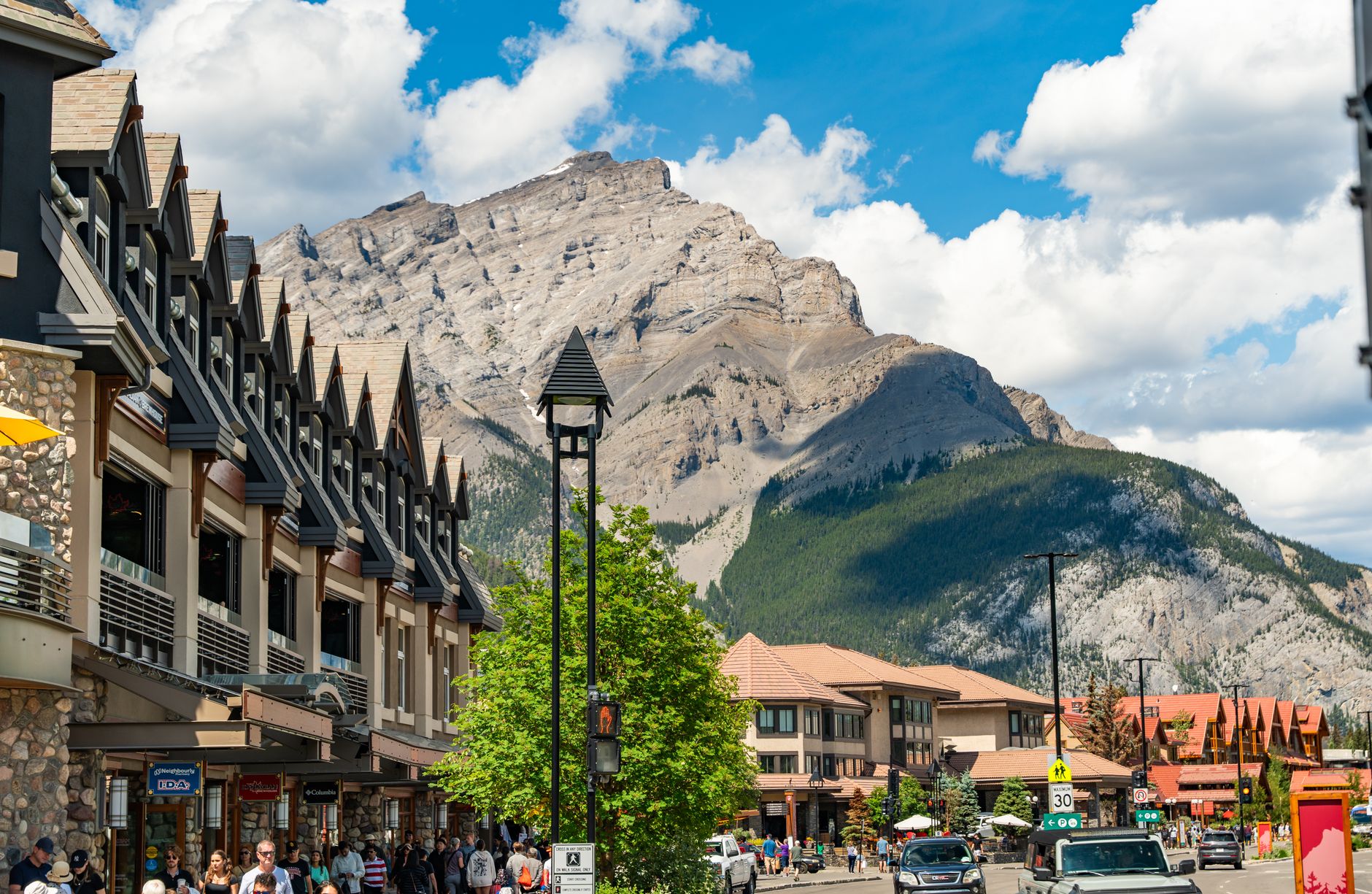
The townsite of Banff covers less than four square kilometres, yet it sits inside one of the world's largest mountain parks — a fact you feel the moment you step off the bus and the Rockies simply take over the skyline. Elk wander Banff Avenue with the mild indifference of locals who've been here longer than anyone else.
This is a working town that happens to be inside a national park, which gives it a texture most resort towns lack. People live here year-round, ride Roam electric buses up Sulphur Mountain, and rent e-bikes for the Bow Valley Parkway when the road goes bicycle-only in spring and fall.
💛 What travellers fall for
Regulars tend to figure out the Roam bus quickly — Route 1 runs year-round straight from Banff Avenue to the gondola and Upper Hot Springs, so there's no need to move a car. The Whyte Museum rewards a slow afternoon; the photography archive alone, much of it Byron Harmon's early-1900s work, is reason enough to go.
Experiences you don't want to miss



Deals in Banff
Book directly at the provider

How Banff came to be
Banff's origin is a railway story. In 1883, three Canadian Pacific Railway workers stumbled onto hot springs on Sulphur Mountain, and the federal government moved quickly — by 1885 it had fenced off 26 km² around Cave and Basin to develop an international spa resort. The first settlement, called Siding 29, sat three kilometres from the present townsite before being relocated; CPR president George Stephen renamed it Banff in 1884 after his birthplace in Scotland, a name Lord Strathcona formalised on November 25, 1883.
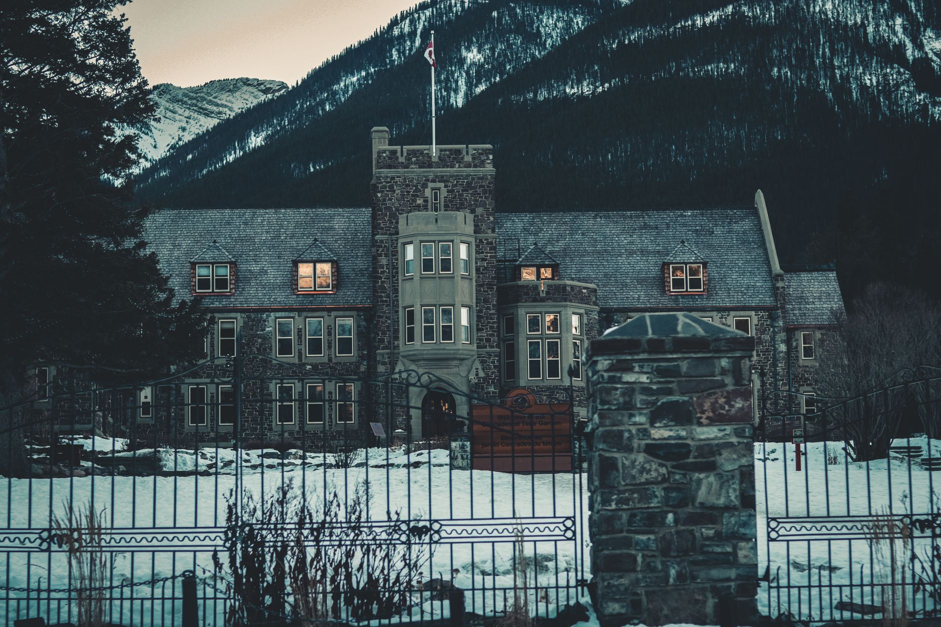
The reserve grew to 673 km² and became Rocky Mountain Park by 1887. Banff didn't incorporate as a town until 1990 — making it the first municipality inside a Canadian national park. The Banff Park Museum, built in 1903, is the oldest surviving federal building in any national park in the country, and photographer Byron Harmon arrived the same decade to open the first dedicated photography studio in town in 1906.
Who and what shaped it
People who shaped it
Landmark buildings
See Banff in motion
Plan your visit
On the map
When to go
Banff sits in a subarctic climate zone with montane, subalpine, and alpine ecoregions, meaning summers are short and cool while winters are long and genuinely cold. Snow is possible in any month at higher elevations, so layers are useful year-round.
Right now
Background & history adapted from Wikipedia (CC BY-SA) · specs from Wikidata (CC0) · weather from Open-Meteo · map data © OpenStreetMap contributors · photos from Wikimedia Commons / Unsplash with per-image credit. No third-party reviews or social posts reproduced.