
Mexico City, Mexico
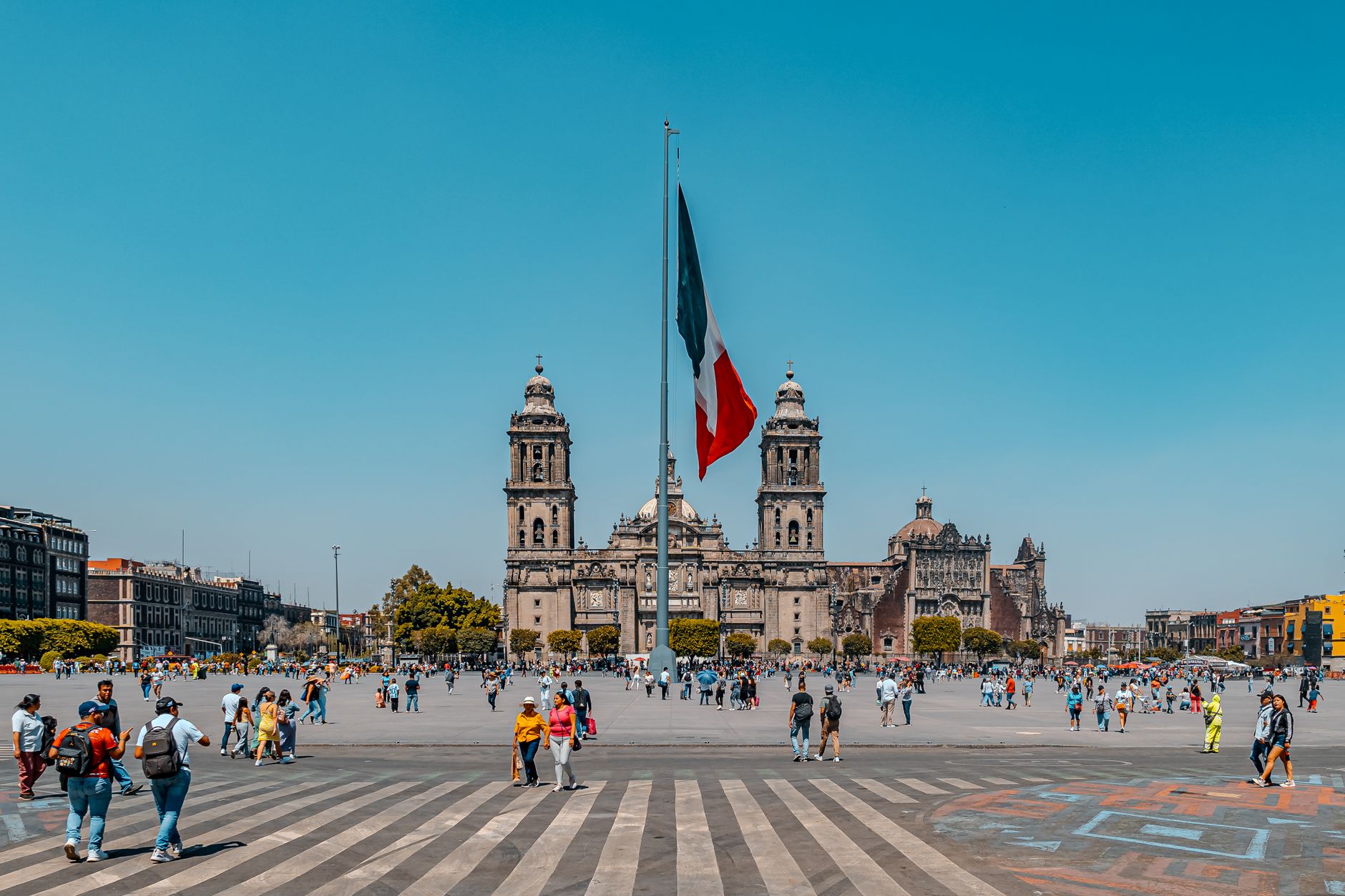
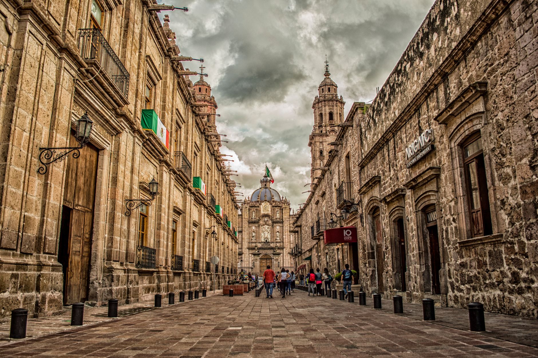
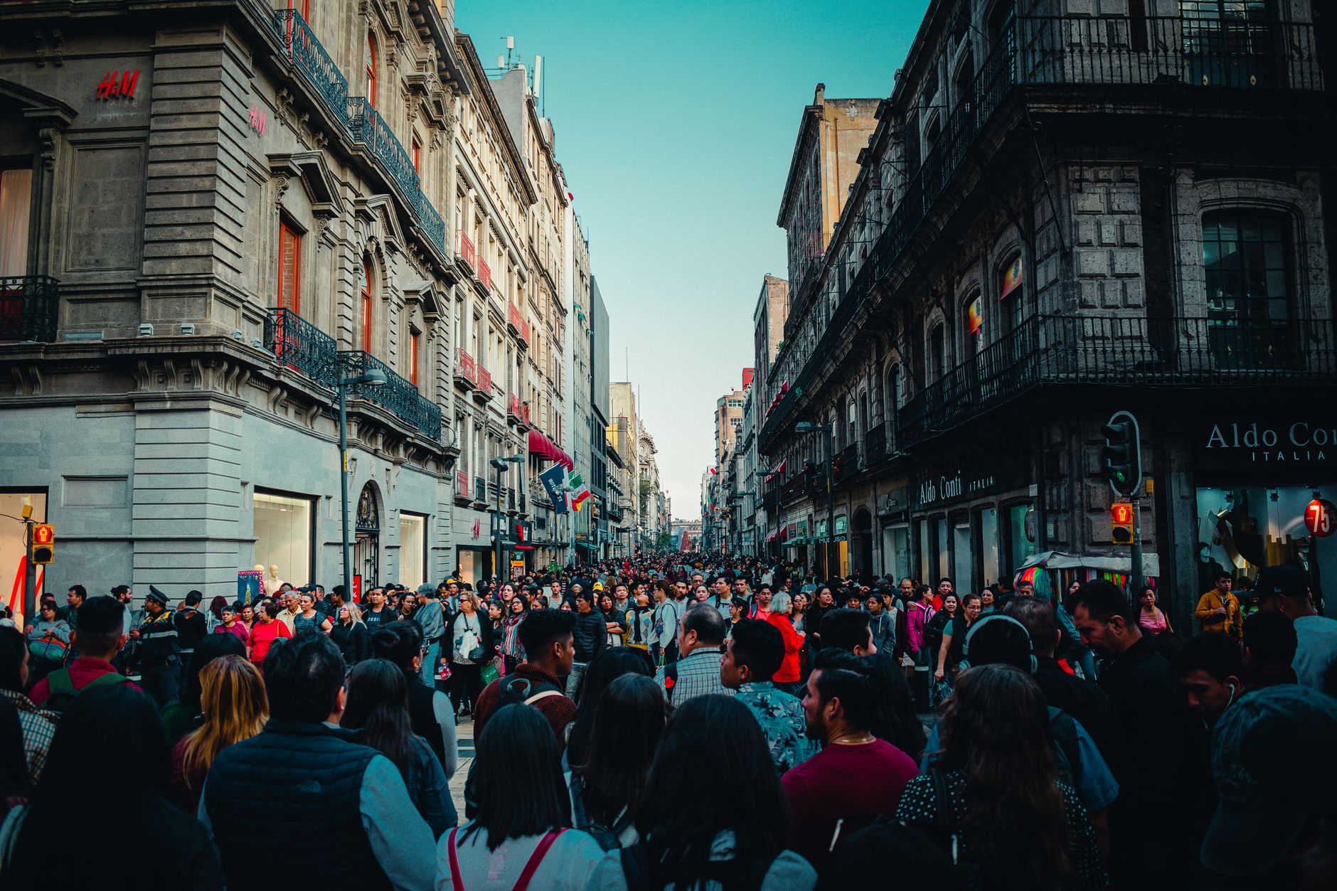
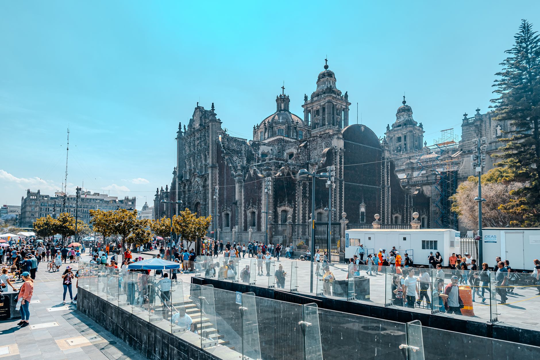
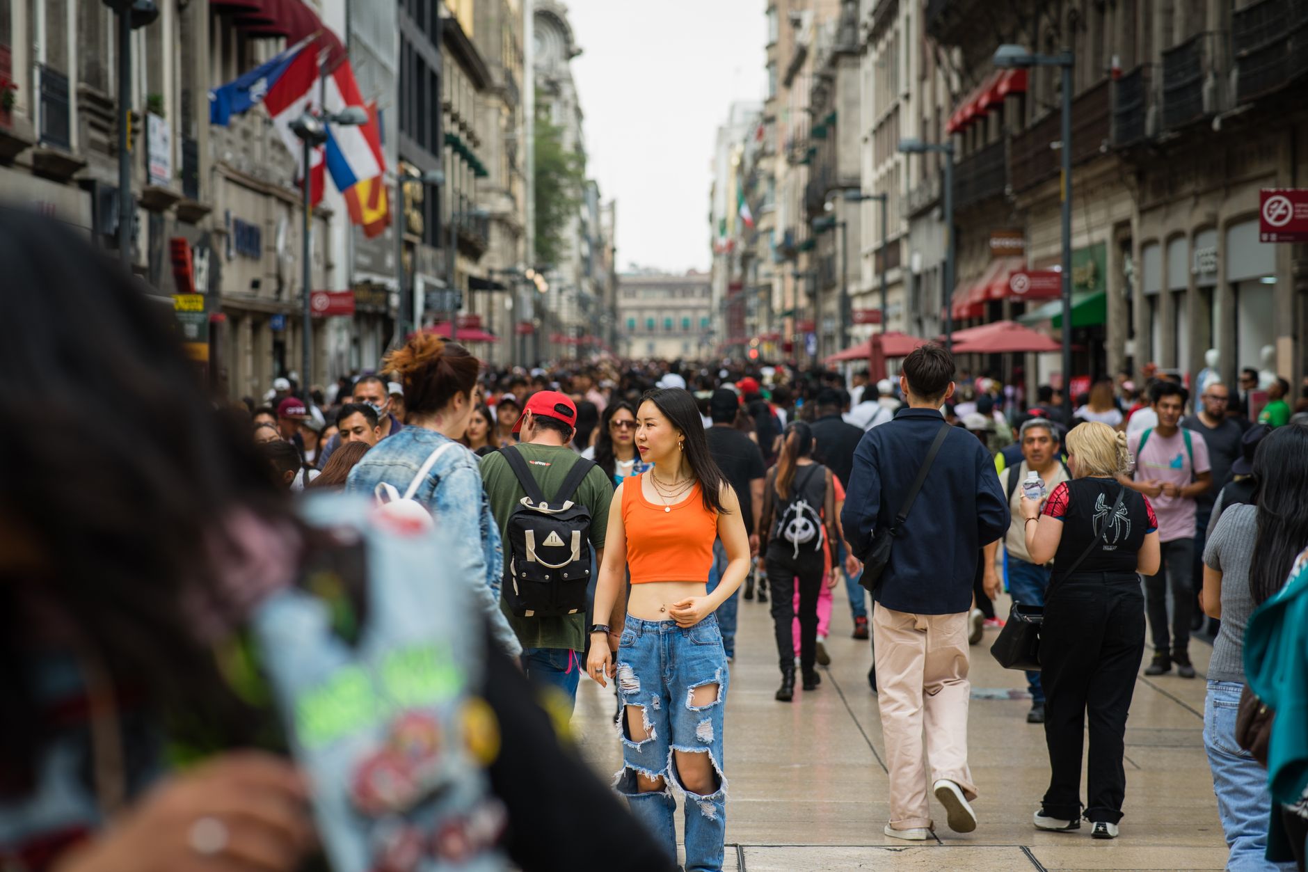
Mexico City sits at roughly 2,240 metres above sea level in a high volcanic basin, which means your first afternoon may leave you slightly breathless — literally. The city was built on a lake. Tenochtitlan, the Aztec capital, rose from the waters of Lake Texcoco in the 14th century, and the colonial grid that replaced it after 1521 still follows the logic of that island: causeways become avenues, and certain old buildings tilt visibly because the lakebed beneath them never fully settled.
This is one of the largest cities in the Western Hemisphere, and it rewards a slow approach. The centro histórico alone holds centuries of layered stone — Aztec foundations beneath Spanish baroque beneath 20th-century modernism — and the neighbourhoods beyond it each run at their own pace.
Popular cities in Mexico City, Mexico
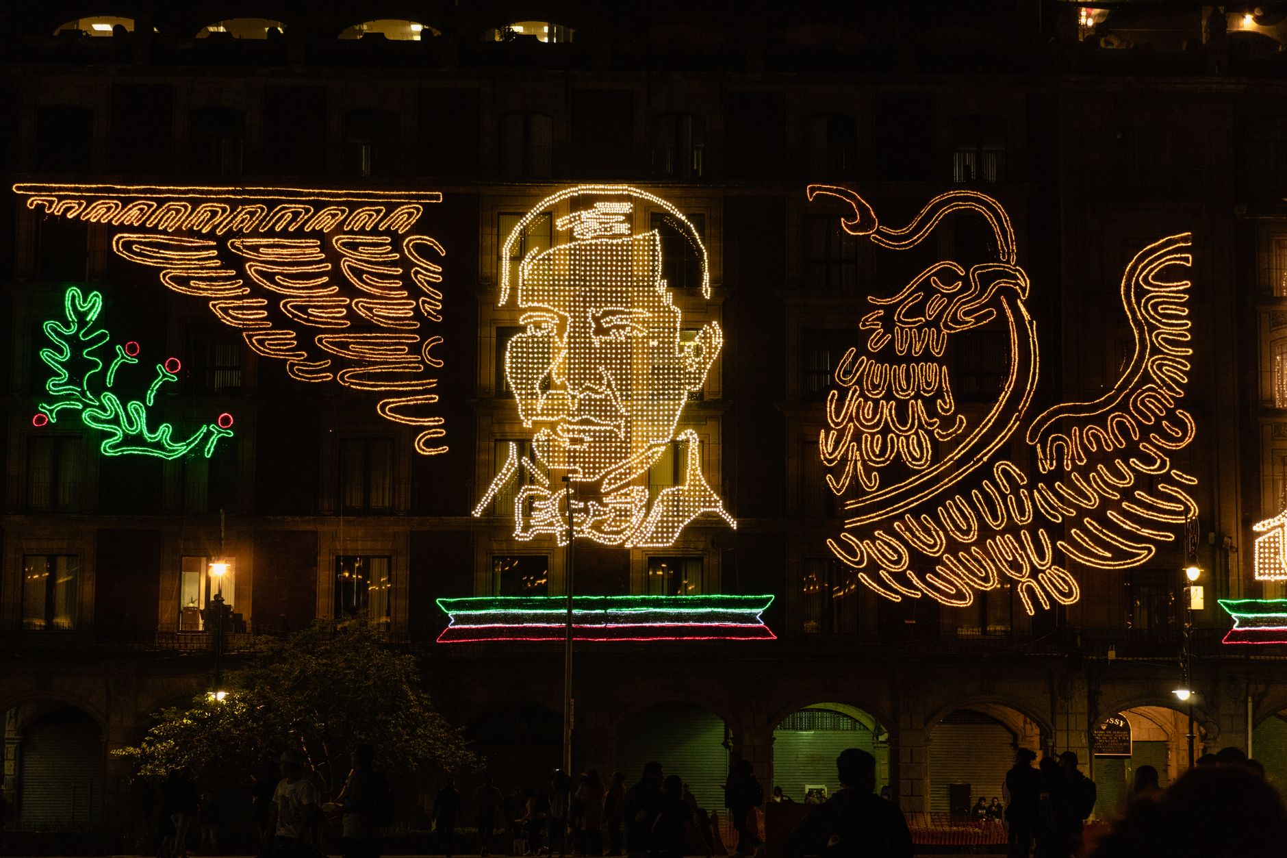
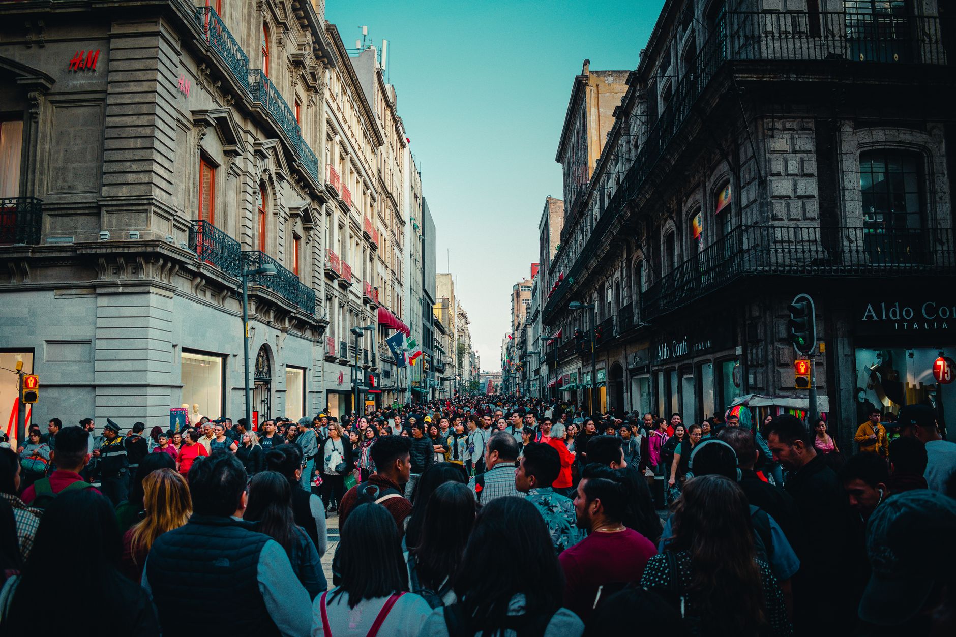
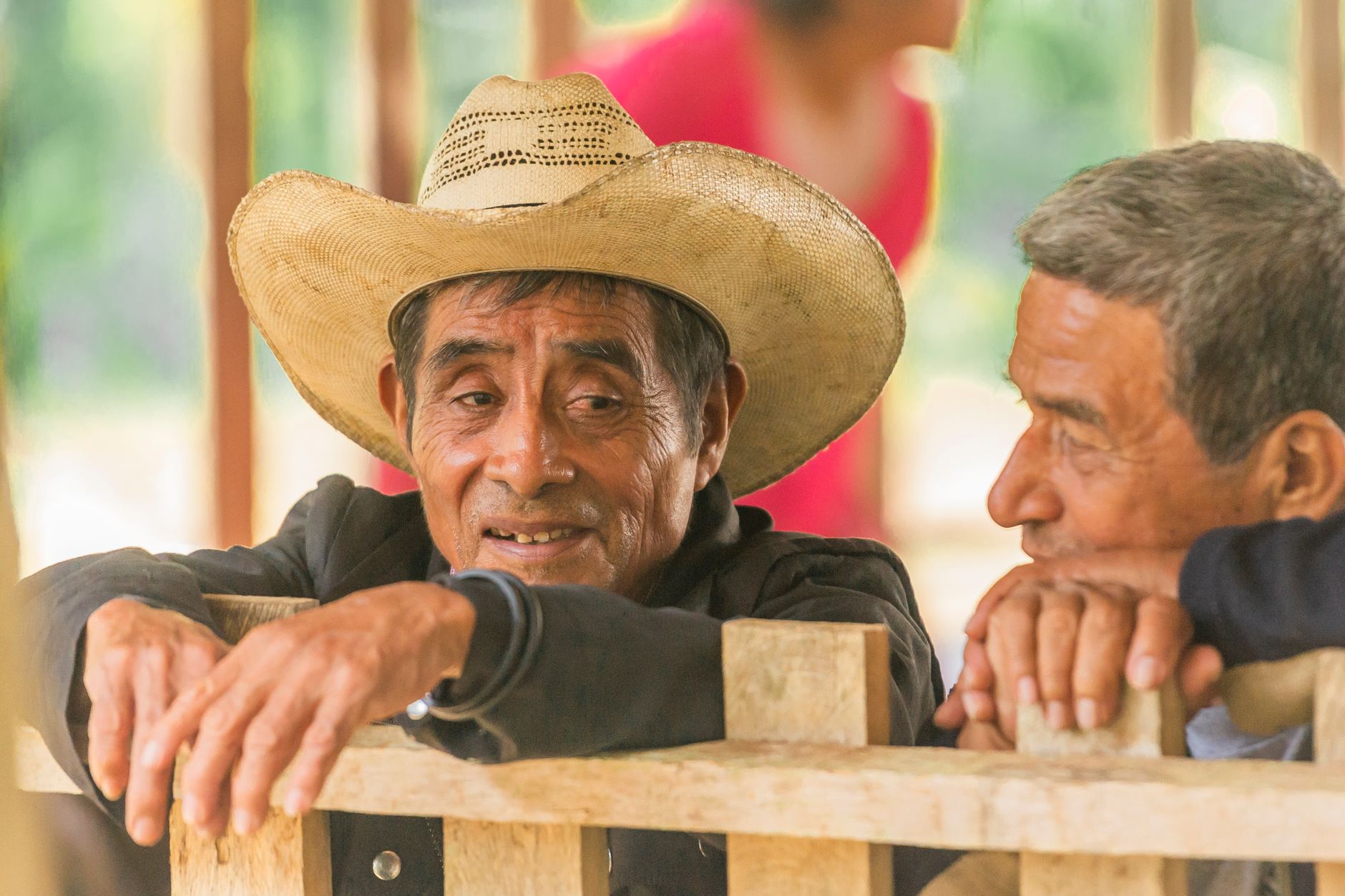
💛 What travellers fall for
People who come back tend to anchor themselves to a neighbourhood rather than a to-do list. Roma Norte for morning coffee and bookshops, Coyoacán for a Sunday market and a quieter afternoon. The Metro is genuinely fast and cheap. Altitude adjustment takes a day; skip the mezcal the first night.
How Mexico City, Mexico came to be
Around 1325, the Mexica people founded Tenochtitlan on an island in Lake Texcoco, building a city of causeways, temples and floating gardens that by 1519 held somewhere between 100,000 and 200,000 people — larger than any European capital of the time. When Hernán Cortés arrived that year, the encounter ended with the fall of Tenochtitlan on 13 August 1521 after more than two months of fighting. The city was largely destroyed and rebuilt by 1525 on the same ground, and officially named Ciudad de México from 1585 onward.
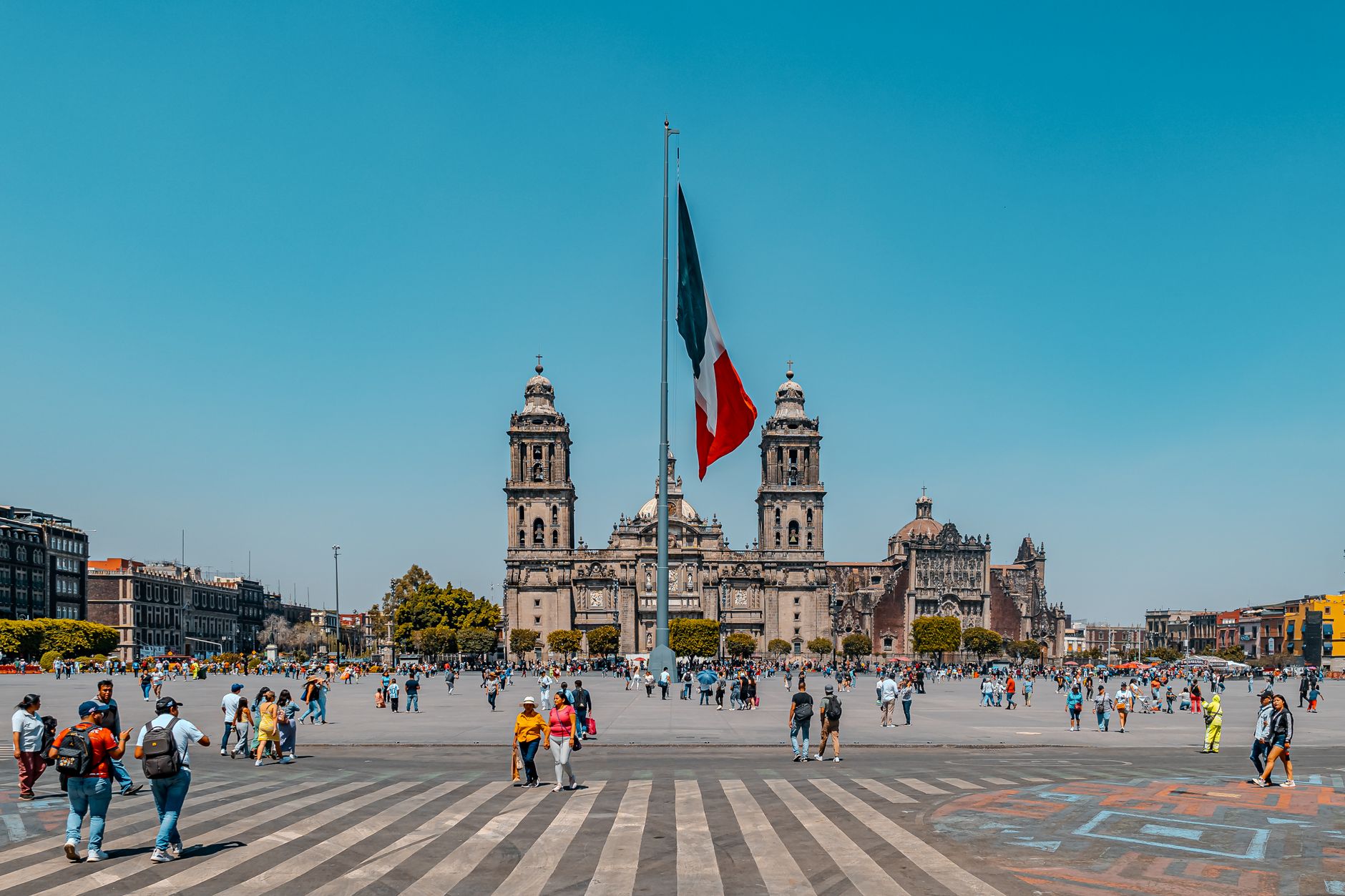
The colonial centre that rose from those ruins accumulated its own layers: the Metropolitan Cathedral, constructed between 1571 and 1657 on the site of an Aztec temple, became the largest in the Americas. The 1985 earthquake — magnitude 8.0 — caused serious damage to the historic centre, yet structures like the Torre Latinoamericana, built in 1956 with a deep flexible foundation, remained standing. In 2016 the city formalised its autonomy from the federal government, becoming CDMX.
Who and what shaped it
People who shaped it
Landmark buildings
See Mexico City, Mexico in motion
Plan your visit
On the map
When to go
The high altitude keeps temperatures moderate year-round — warm days and cool nights are the norm rather than extremes. The rainy season runs roughly June through September, bringing afternoon downpours that usually clear by evening; the dry months from October through February tend to offer the clearest skies.
Right now
↡ Cities
Background & history adapted from Wikipedia (CC BY-SA) · specs from Wikidata (CC0) · weather from Open-Meteo · map data © OpenStreetMap contributors · photos from Wikimedia Commons / Unsplash with per-image credit. No third-party reviews or social posts reproduced.