
Milpa Alta
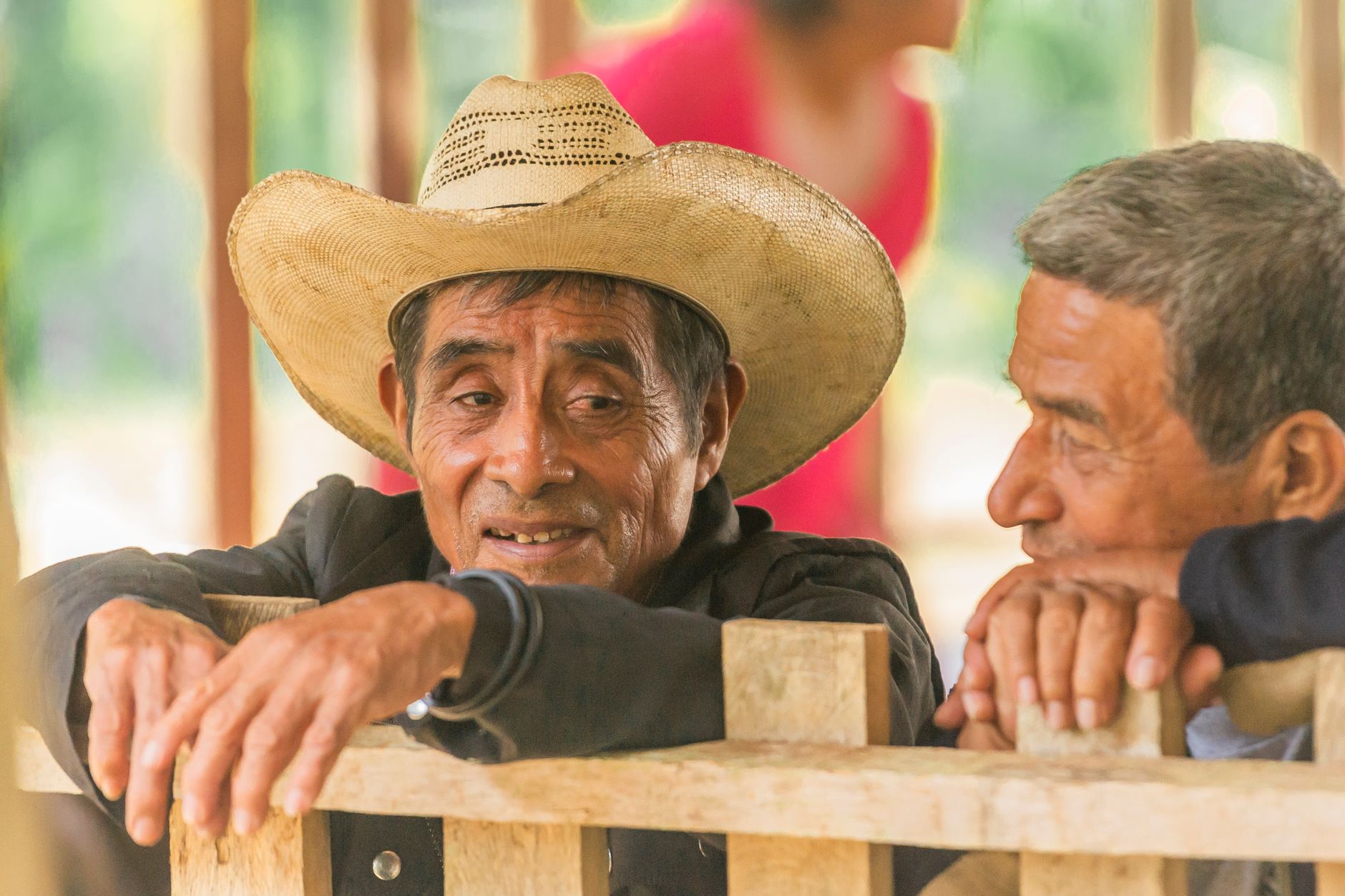
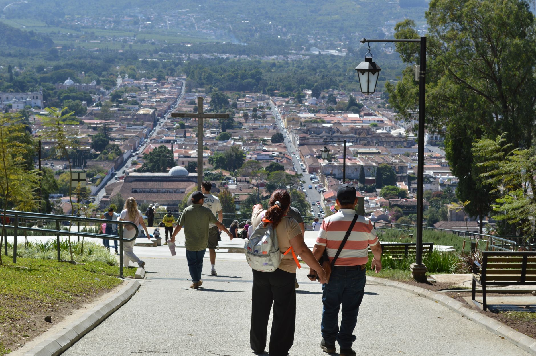
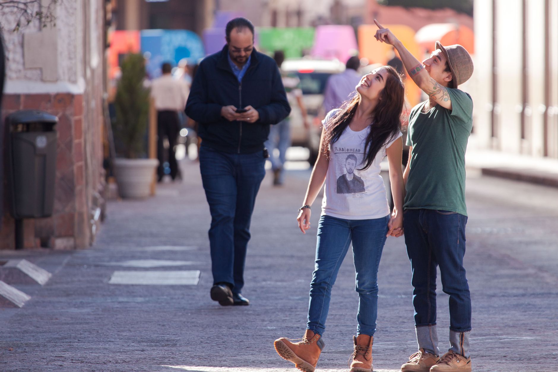
Forty kilometres south of central Mexico City, the land opens into fields of nopal cactus stretching toward an inactive volcano, and the air cools by several degrees. Milpa Alta is the least urban of the city's boroughs — no metro line reaches it, no Metrobús — and that gap in infrastructure has kept something intact: twelve original villages, more than three thousand Nahuatl speakers, and a mole-making tradition so serious that the village of San Pedro Actopan supplies restaurants across the capital.
This is a place that earns its living from the land. Around 300,000 tonnes of nopal leave these farms each year, and on any weekday morning the Mercado Benito Juárez smells of dried chili and chocolate paste being ground to order. Come for the day, leave before dark, and you'll return with a clearer sense of what Mexico City's edges actually look like.
💛 What travellers fall for
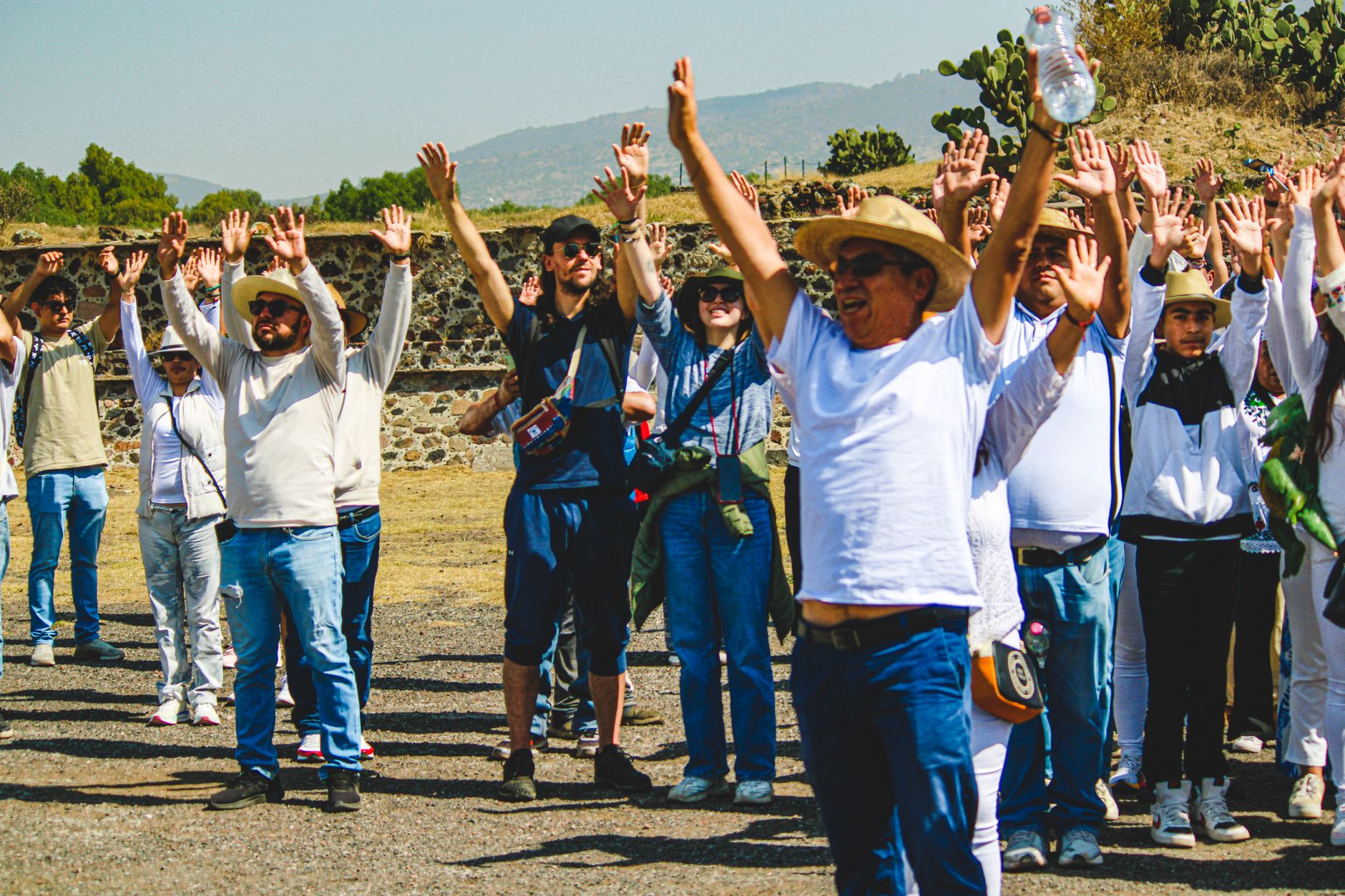
People who make it back tend to time their visit around the festivals — over 700 take place across the year, organized by mayordomos and cofradías who have been running them for generations. The Día de la Santa Cruz on May 3 draws locals up Teuhtli volcano at dawn, leaving offerings at a large blue cross near the summit. It's worth the climb for the view over the nopal fields alone.
Deals in Milpa Alta
Book directly at the provider


How Milpa Alta came to be
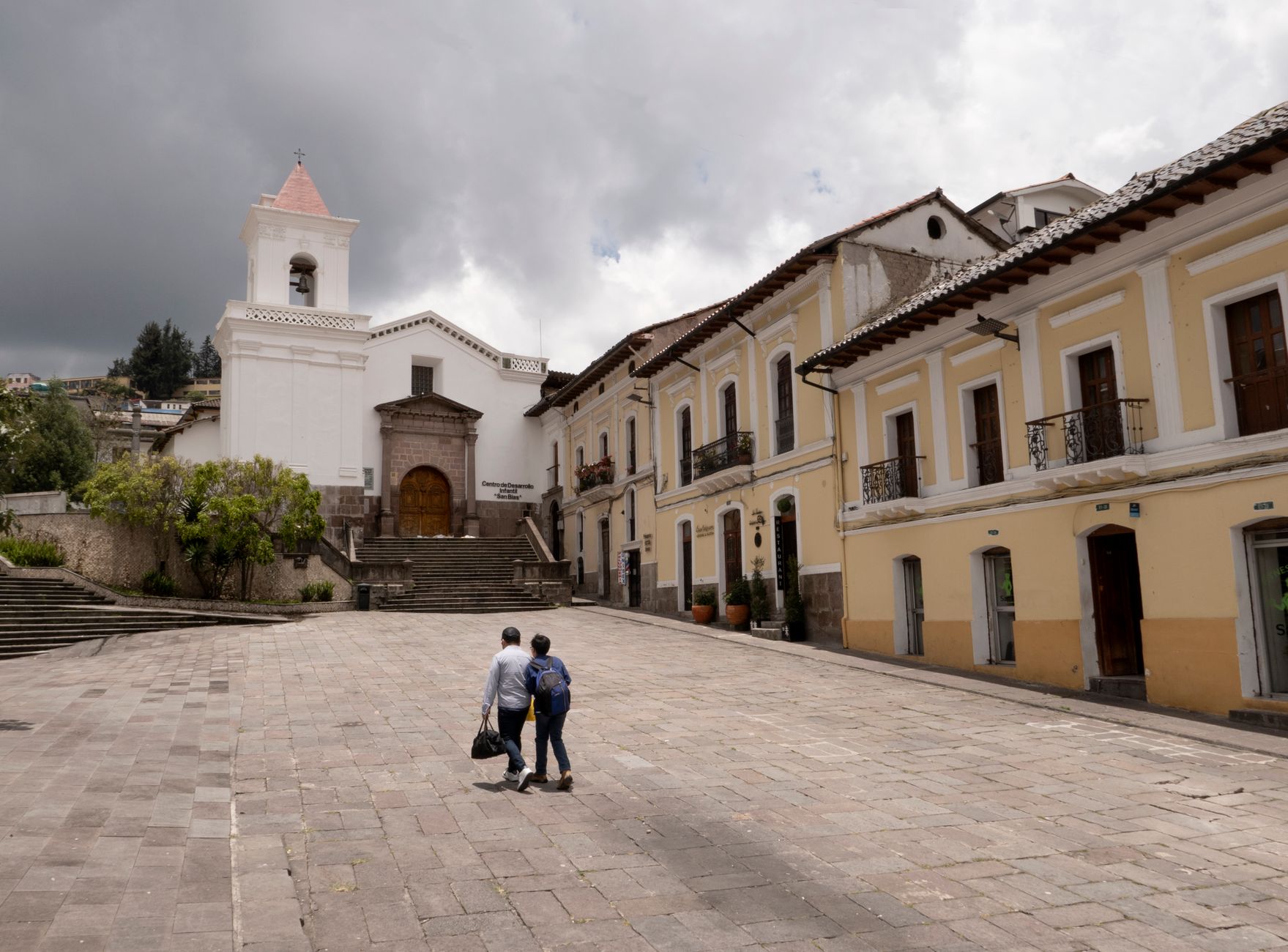
Settlement in this high valley dates to around 1240, when a Chichimeca group migrated into the Valley of Mexico and established the dominion of Malacachtepec Momozco. Two centuries later, in 1440, Mexica leader Hueyitlahuilli brought the region under Aztec control. The Franciscans arrived in the sixteenth century, baptizing the area Nuestra Señora de la Asunción de Milpa Alta and raising the imposing parish church that still anchors the town center.
After independence, Milpa Alta passed through the State of Mexico before being annexed to the Federal District in 1854, and formally constituted as a borough in 1929. The Revolution left its mark here too: in 1914, General Emiliano Zapata ratified the Plan of Ayala at a building in San Pablo Oztotepec, now preserved as the Museo Cuartel Zapatista.
Who and what shaped it
People who shaped it
Landmark buildings
See Milpa Alta in motion
Plan your visit
On the map
When to go
The average annual temperature sits at about 15.6°C (60°F), so pack a layer regardless of season. Summer — particularly July and August — brings the heaviest rain; higher elevations can see frost from October through March, and February and March turn noticeably windy.
Right now
Background & history adapted from Wikipedia (CC BY-SA) · specs from Wikidata (CC0) · weather from Open-Meteo · map data © OpenStreetMap contributors · photos from Wikimedia Commons / Unsplash with per-image credit. No third-party reviews or social posts reproduced.