
Gustavo A. Madero
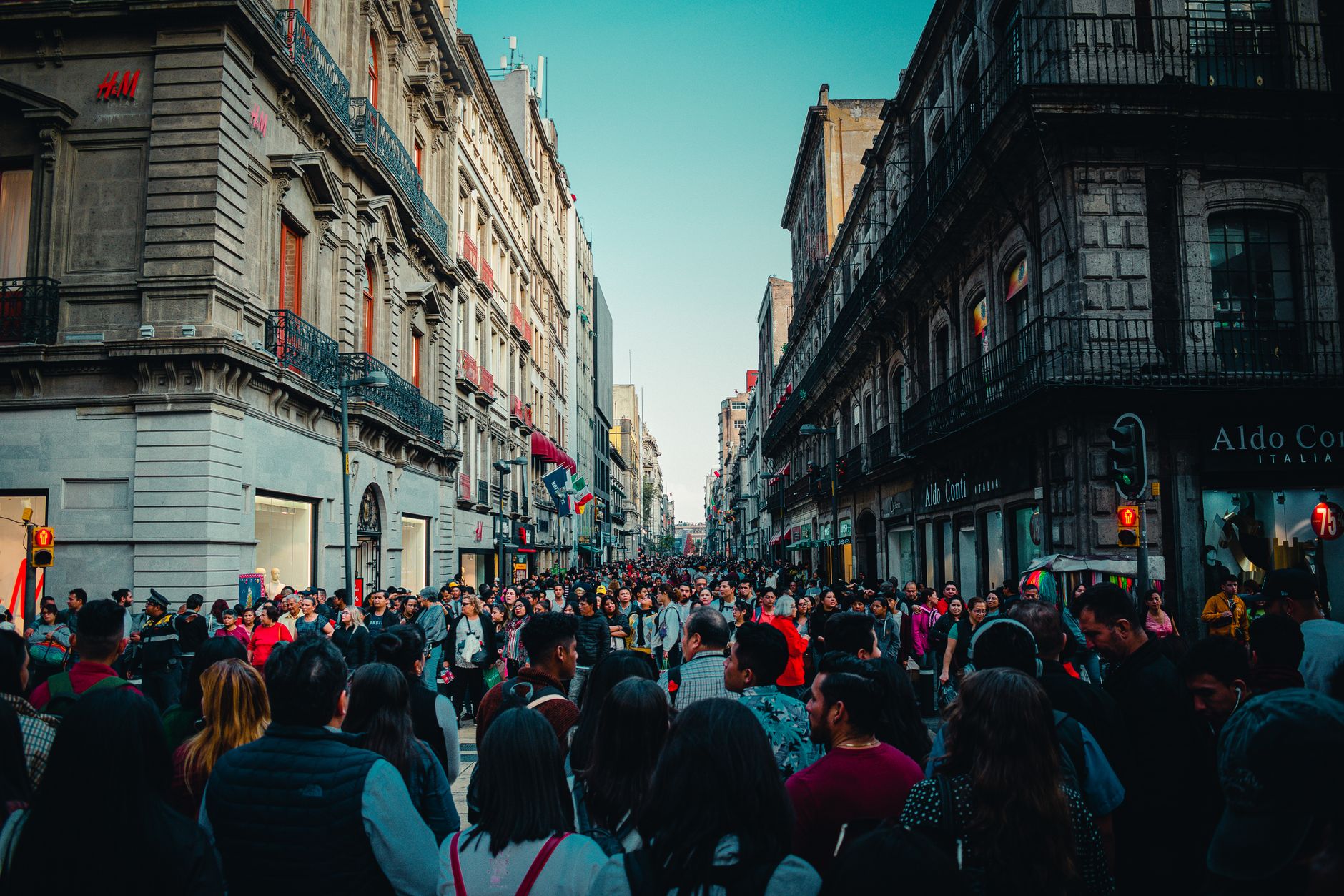
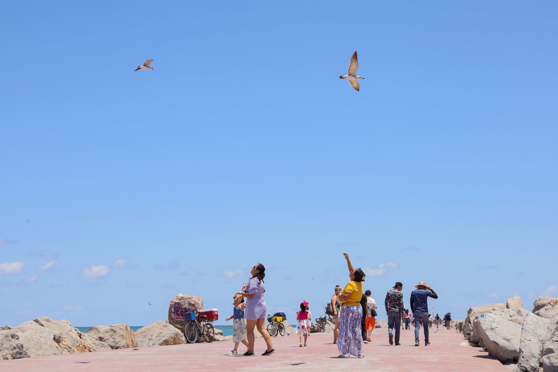
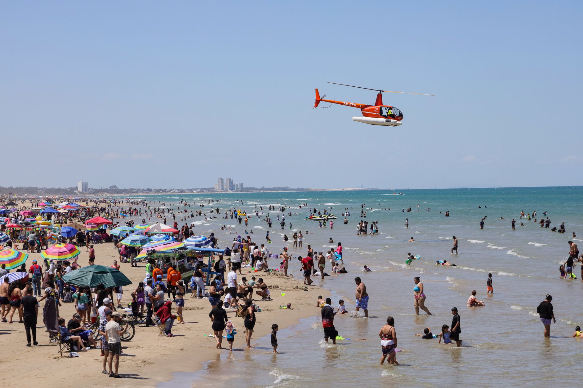
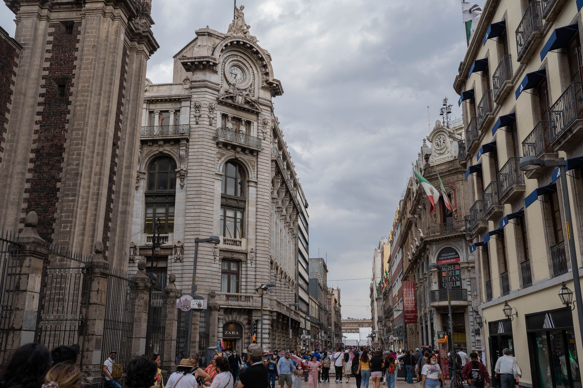
The borough of Gustavo A. Madero is where Mexico City's north begins to breathe. Its gravitational center is the Basílica de Guadalupe, which draws more than 20 million visitors a year — more than any other Catholic pilgrimage site in the Western Hemisphere — yet the surrounding streets carry on with an almost studied ordinariness: taco stands, hardware shops, the Mexicable cable car threading over rooftops toward Cuautepec.
Beyond the pilgrimage circuit, the borough spreads across a terrain of old neighborhoods, the vast San Juan de Aragón forest, and one of the city's largest Sunday markets. It rewards the kind of attention that doesn't rush.
💛 What travellers fall for
People who come back tend to take the Mexicable early — it runs from 5 a.m. and costs five pesos — before the crowds build. The ride over Cuautepec offers a ground-level view of the city's northern edge that no metro line can match. The Sunday Tianguis de la San Felipe, in the 25 de Julio colony, is the other ritual: arrive before ten if you want to move.
Deals in Gustavo A. Madero
Book directly at the provider


How Gustavo A. Madero came to be
The settlement here began as Villa de Guadalupe in 1563, organized around the hill where, according to Catholic tradition, the Virgin of Guadalupe appeared to Juan Diego in 1531. It was renamed Villa de Guadalupe Hidalgo in 1828, and in that name it entered world history: the Treaty of Guadalupe Hidalgo, ending the Mexican–American War, was signed here between 1847 and 1848. The area became a delegación in 1931 and was renamed for Gustavo A. Madero, brother and chief financier of revolutionary President Francisco I. Madero, who was arrested during the Ten Tragic Days of February 1913 and killed shortly after.
The ground itself is older still. The Tlatilco culture left settlements here roughly 3,500 years ago, and the pre-Hispanic pueblos of Ticomán and Zacatenco remain on the map today.
Who and what shaped it
People who shaped it
Landmark buildings
See Gustavo A. Madero in motion
Plan your visit
On the map
When to go
Spring (March–May) brings the warmest, driest days — highs around 25°C — while summer afternoons almost guarantee rain, with July averaging nearly 23 wet days. If you're here in December for the Guadalupe feast day on the 12th, expect dry, cool nights that drop to around 7°C.
Right now
Background & history adapted from Wikipedia (CC BY-SA) · specs from Wikidata (CC0) · weather from Open-Meteo · map data © OpenStreetMap contributors · photos from Wikimedia Commons / Unsplash with per-image credit. No third-party reviews or social posts reproduced.