
Cancún, Mexico
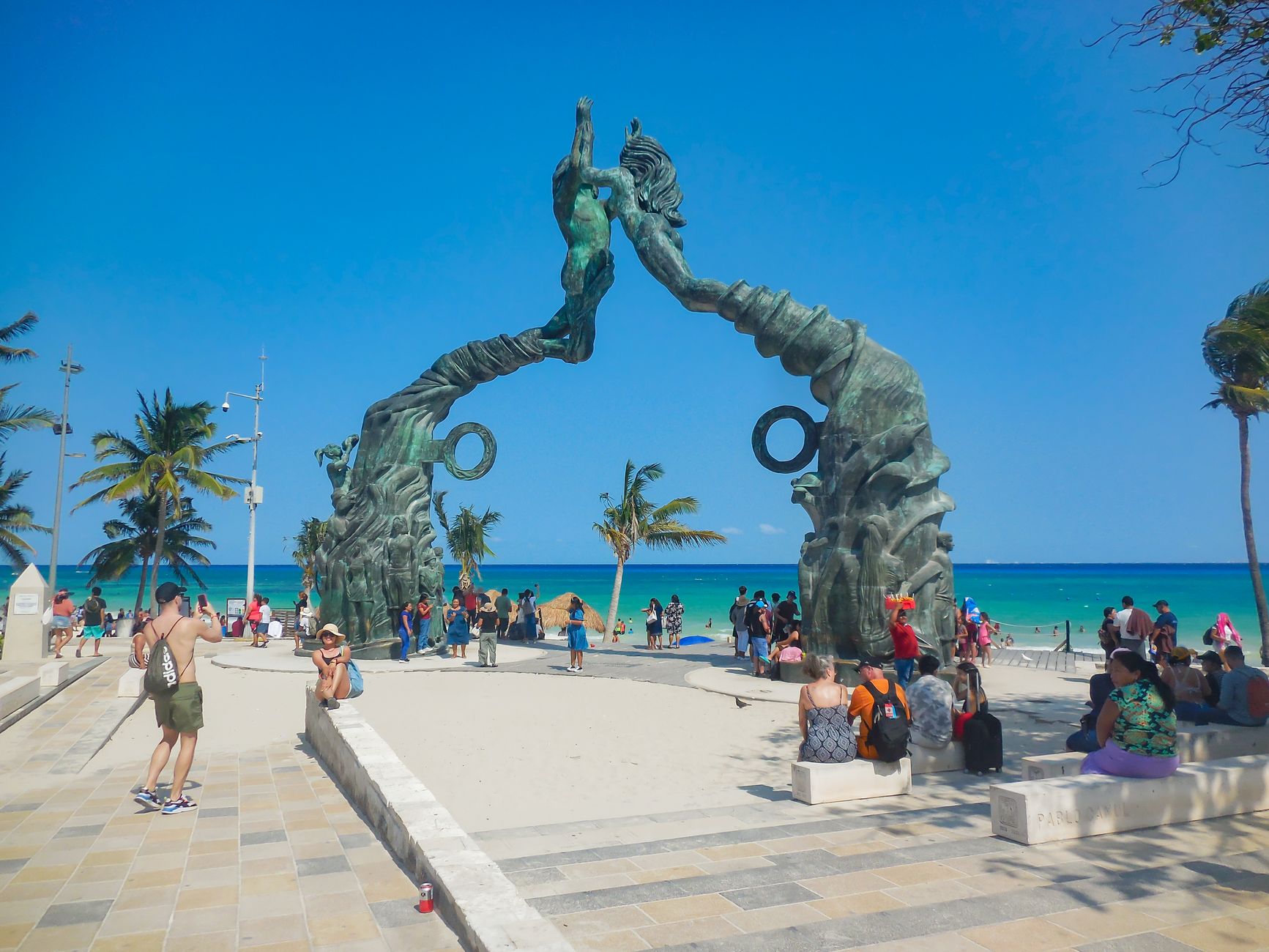
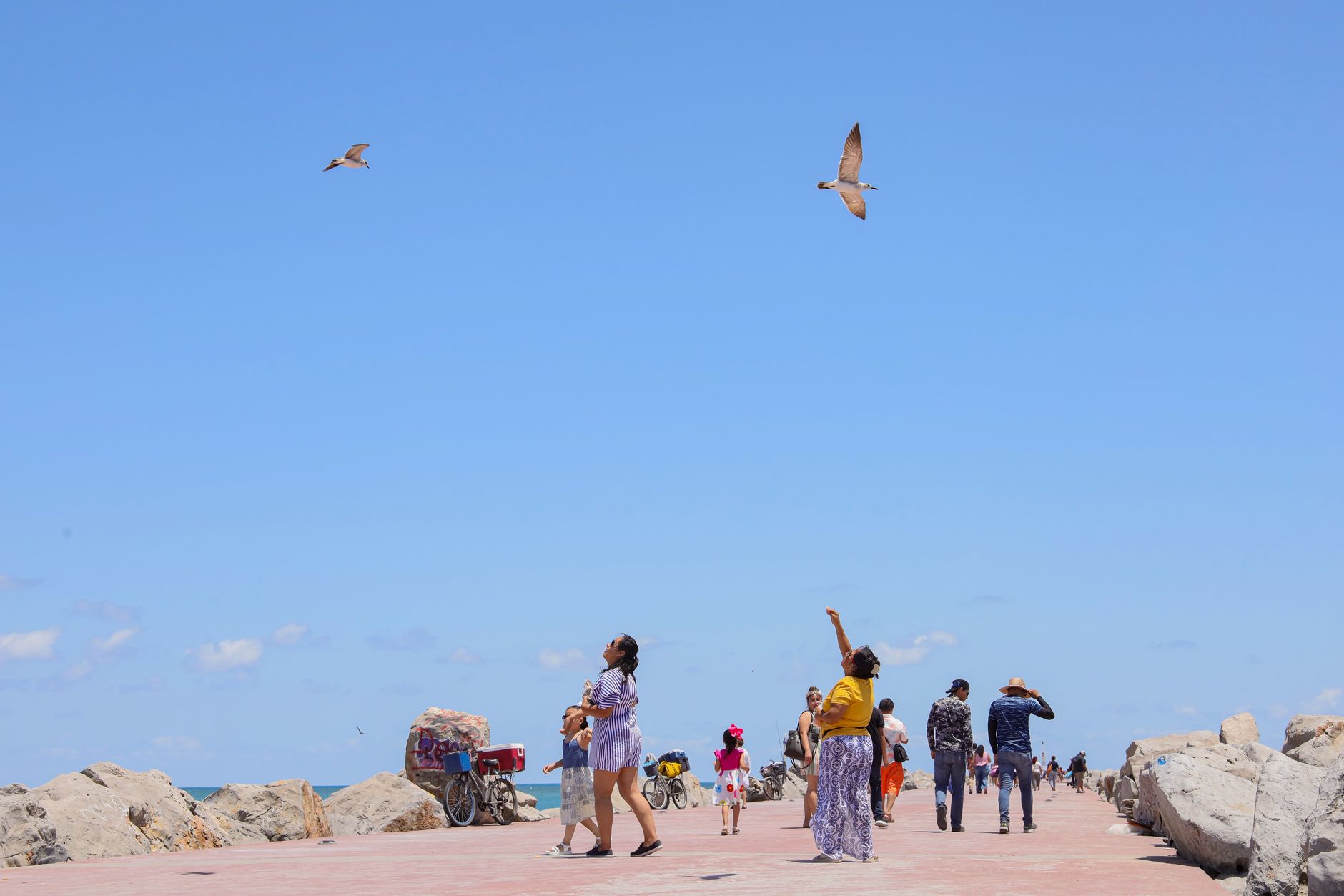
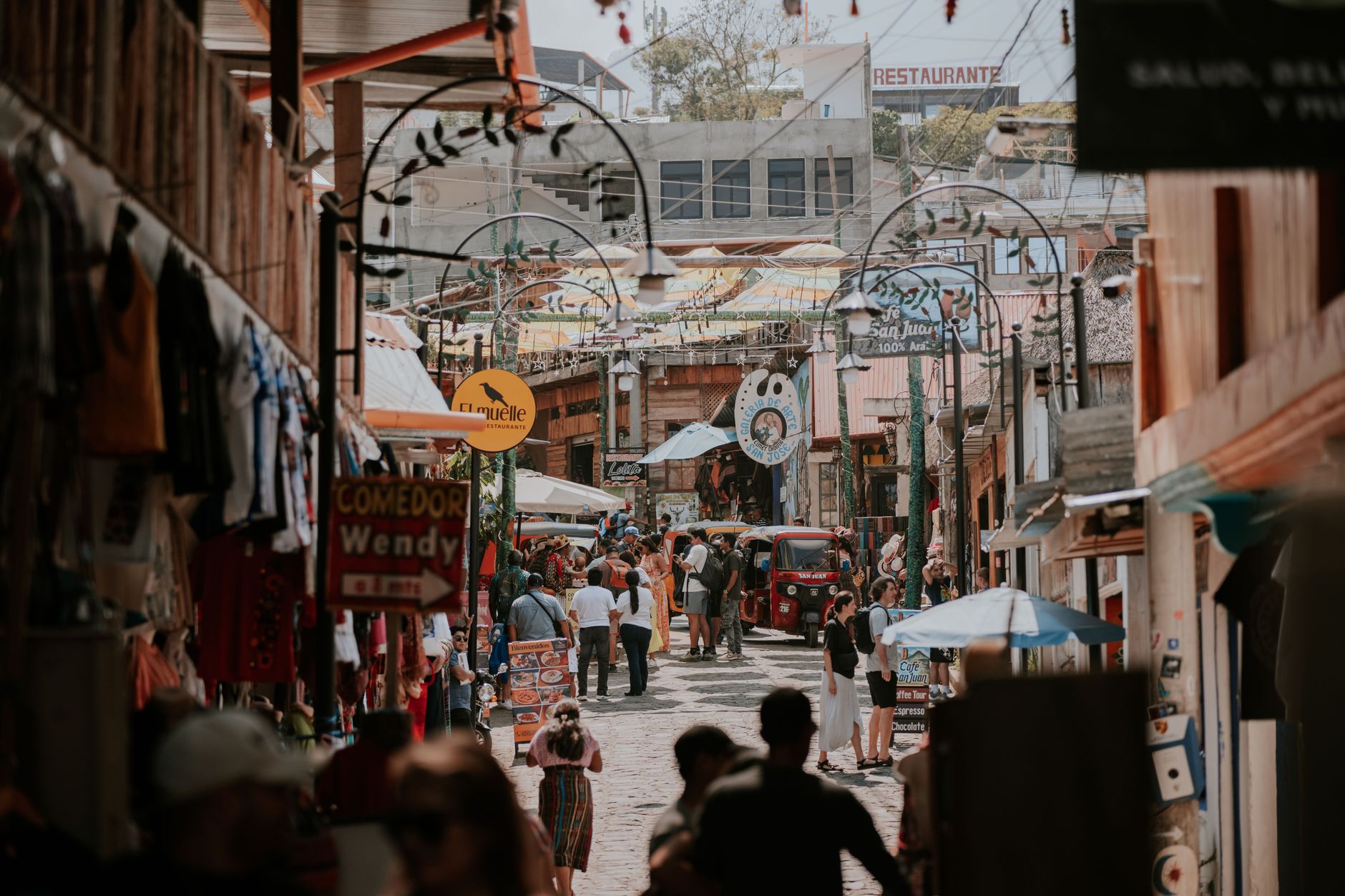
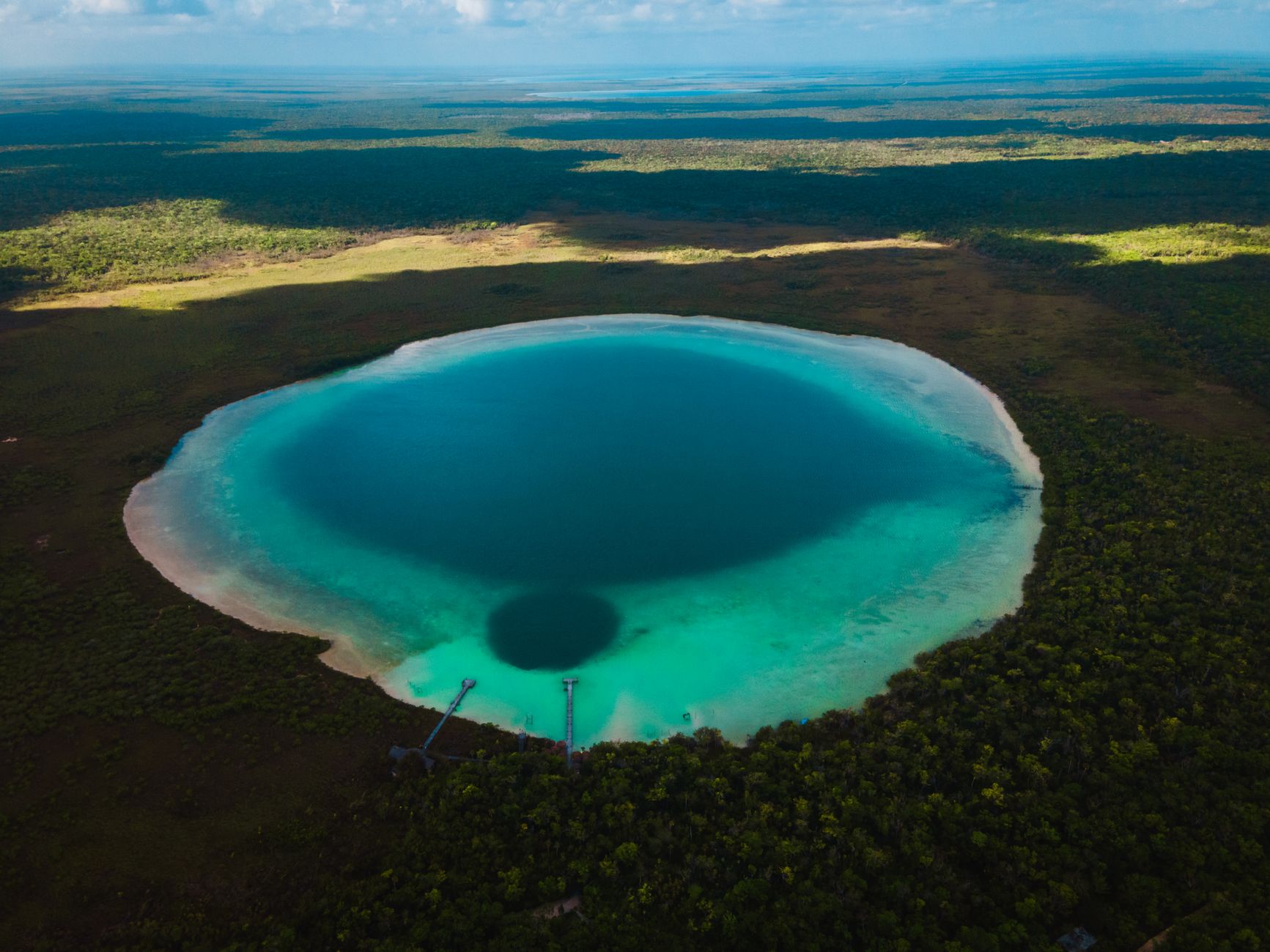
On January 23, 1970, Isla Cancún had exactly three inhabitants — caretakers of a coconut plantation — and nothing else. Today the same narrow, 23-kilometre spit holds one of the most visited stretches of coastline in the Western Hemisphere, its Hotel Zone stacked with resorts facing a Caribbean that runs from pale jade at the shore to a deep, almost impossible blue offshore. That contrast — engineered city, ancient coast — is the thing worth paying attention to here.
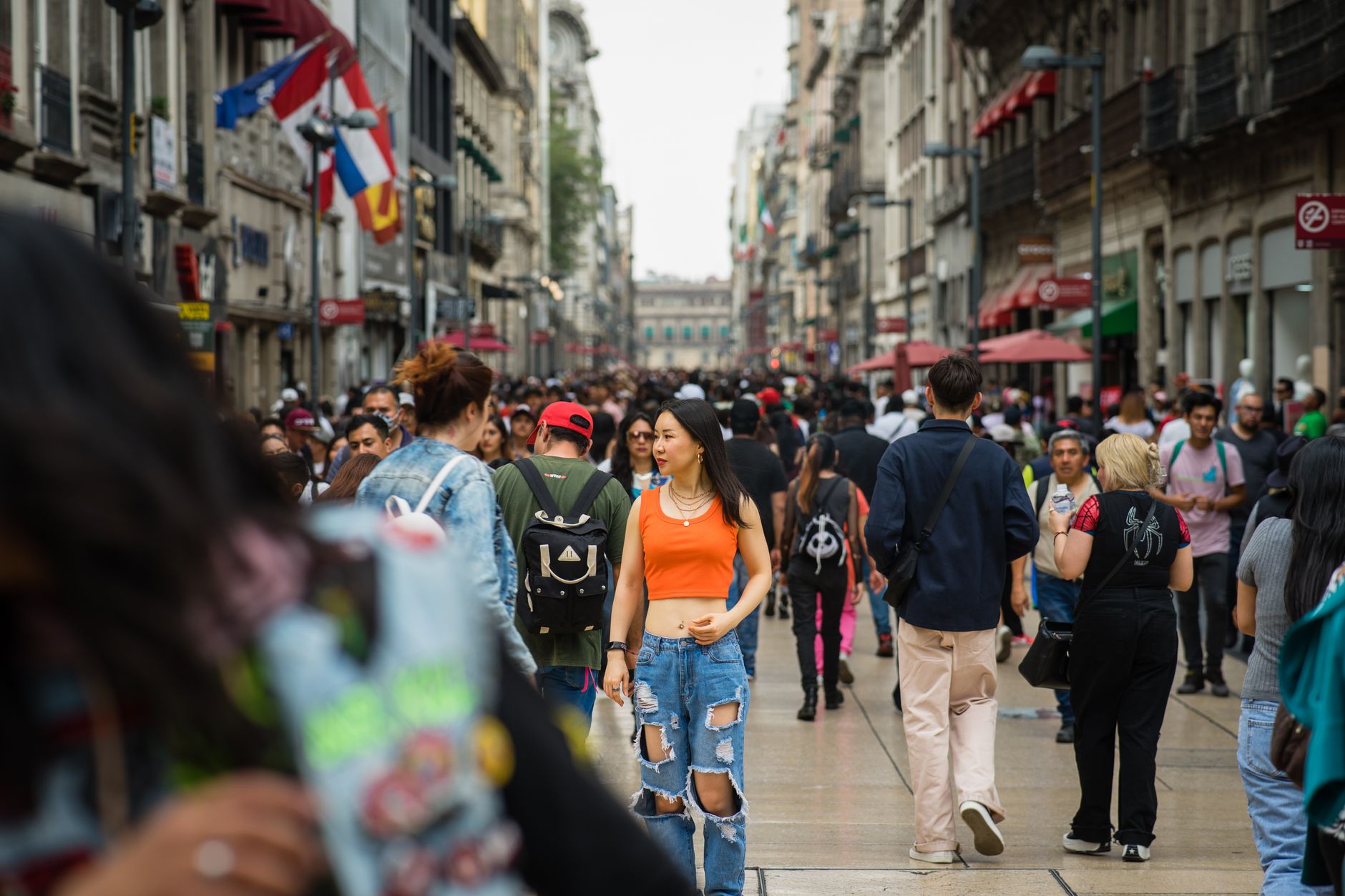
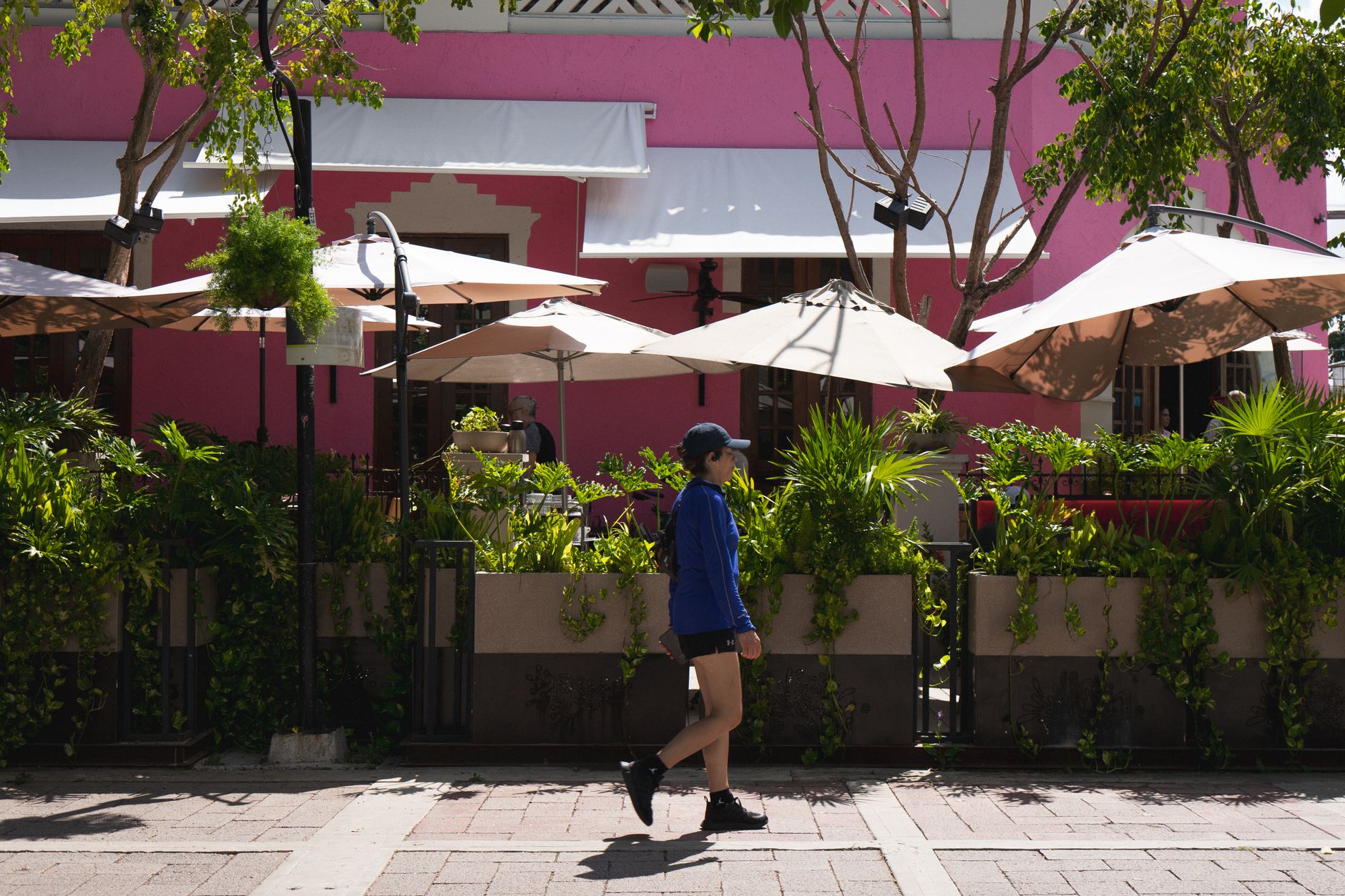
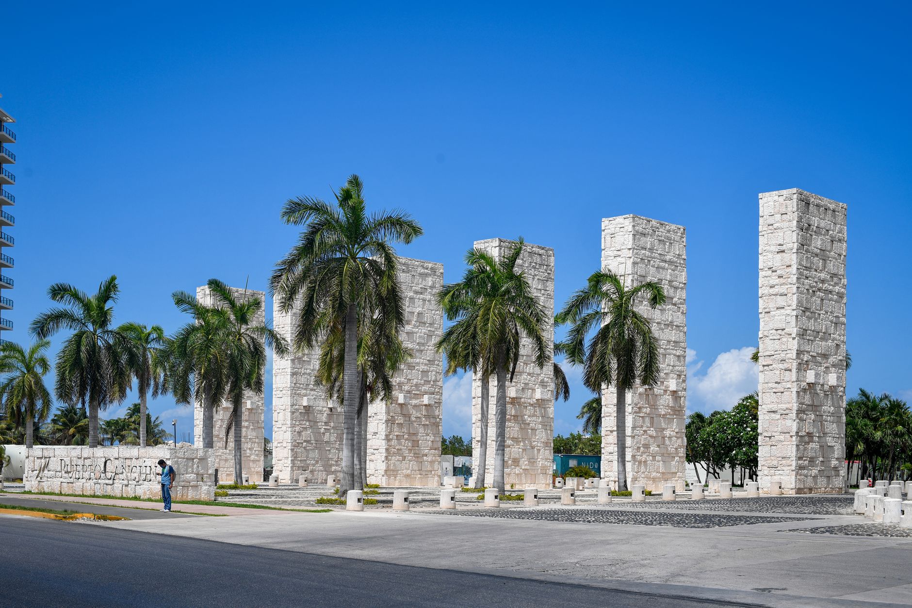
Beyond the all-inclusives, the mainland city of El Centro runs on its own rhythms, and the water holds an underwater sculpture museum between Cancún and Isla Mujeres. The ruins at El Rey sit inside the Hotel Zone itself, easy to miss if no one tells you to look.
How Cancún, Mexico came to be
In 1967, the Mexican government set aside two million dollars — administered through the Bank of Mexico agency INFRATUR — to find undeveloped coastline suitable for a world-class resort. The man who chose this particular spit of sand was Antonio Enriquez Savignac, a Harvard-educated 40-year-old who led INFRATUR and later FONATUR. Because private investors were reluctant to risk capital on an unknown location, the federal government financed the first nine hotels itself. Construction began officially on April 20, 1970; the city was formally gazetted on August 10, 1971.
The master plan — dividing the development into the hotel spit (Zona Hotelera) and a mainland city (El Centro) — came from a team of architects and urban planners working with Javier Solórzano. The first hotel, Playa Blanca (now Temptation Resort), finished in 1974, the same year the international airport opened. A sustained building boom through the 1980s and 1990s did the rest.
Who and what shaped it
People who shaped it
Landmark buildings
See Cancún, Mexico in motion
Plan your visit
On the map
When to go
The dry season runs roughly November through April, with lower humidity and reliable sunshine — the most comfortable window for being outside. From June through October, heat and humidity climb sharply and hurricane season brings the real possibility of heavy rain, though storms rarely linger for more than a day or two.
Right now
↡ Cities



Background & history adapted from Wikipedia (CC BY-SA) · specs from Wikidata (CC0) · weather from Open-Meteo · map data © OpenStreetMap contributors · photos from Wikimedia Commons / Unsplash with per-image credit. No third-party reviews or social posts reproduced.