
Playa Delfines
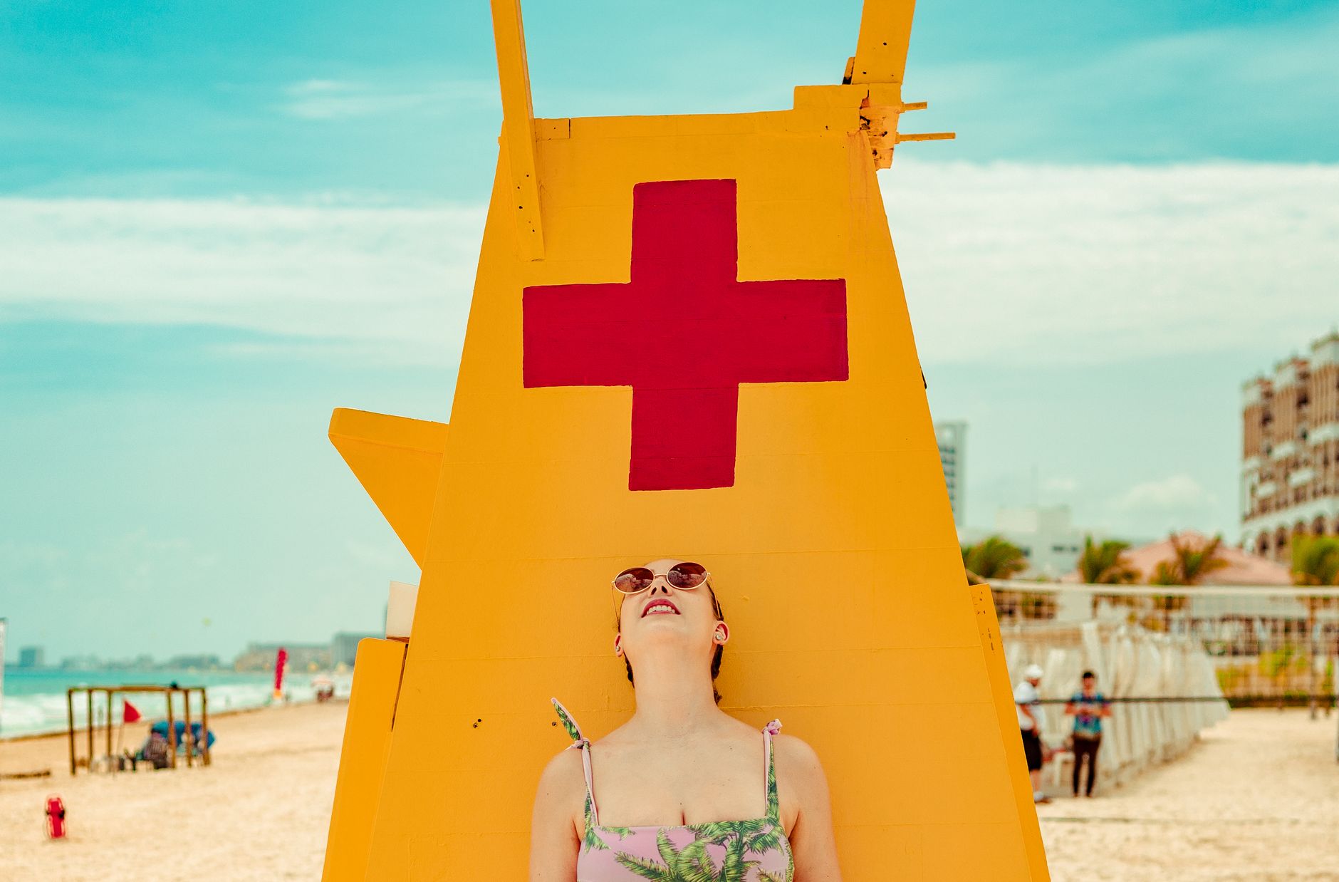
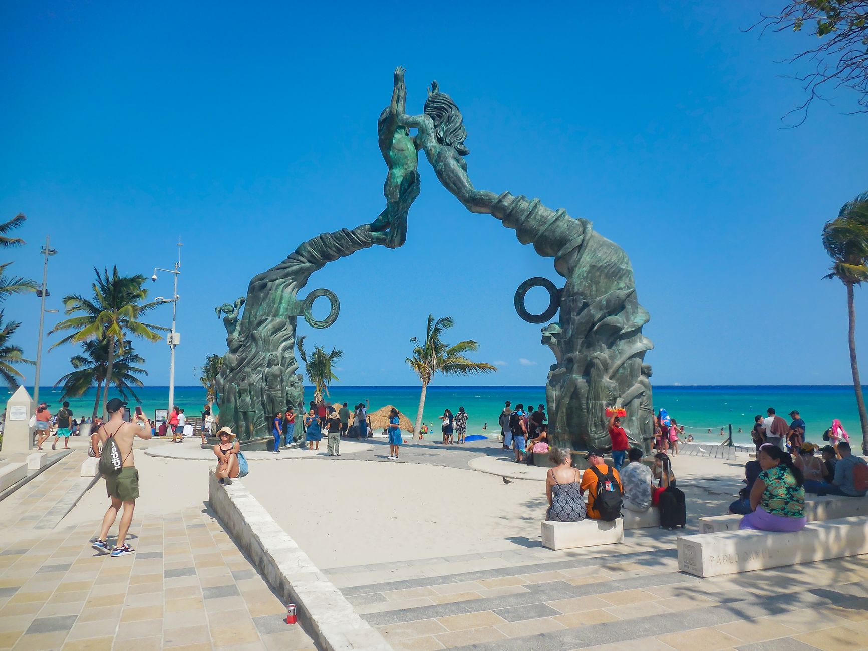
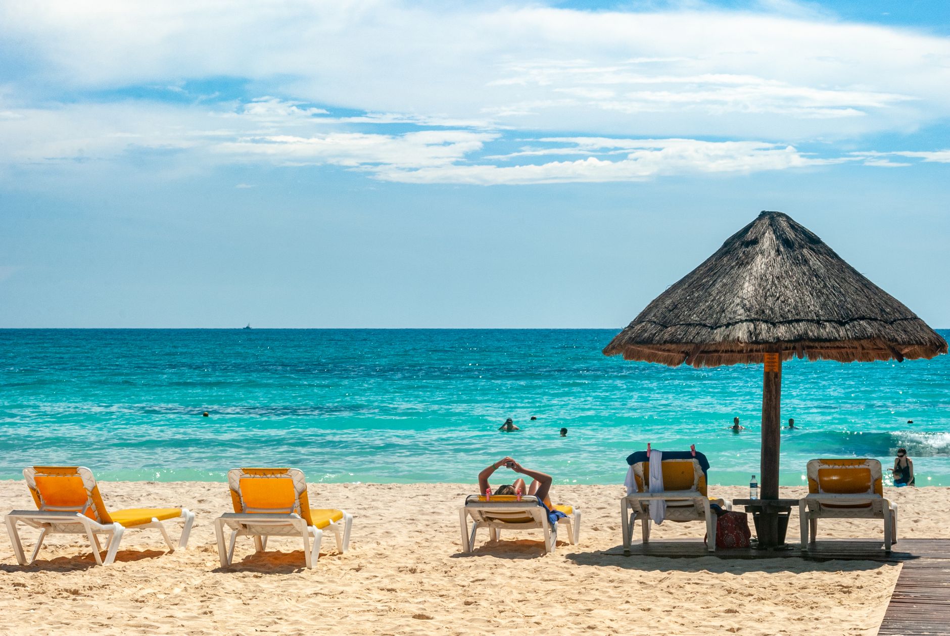
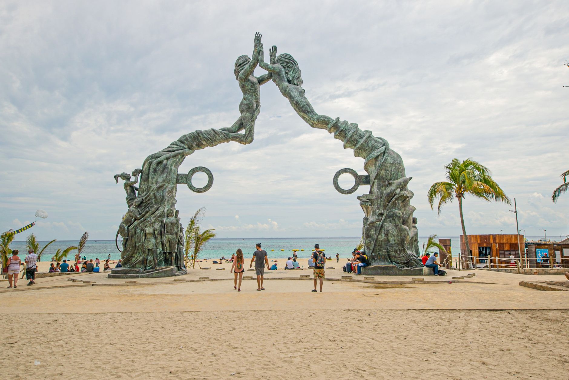
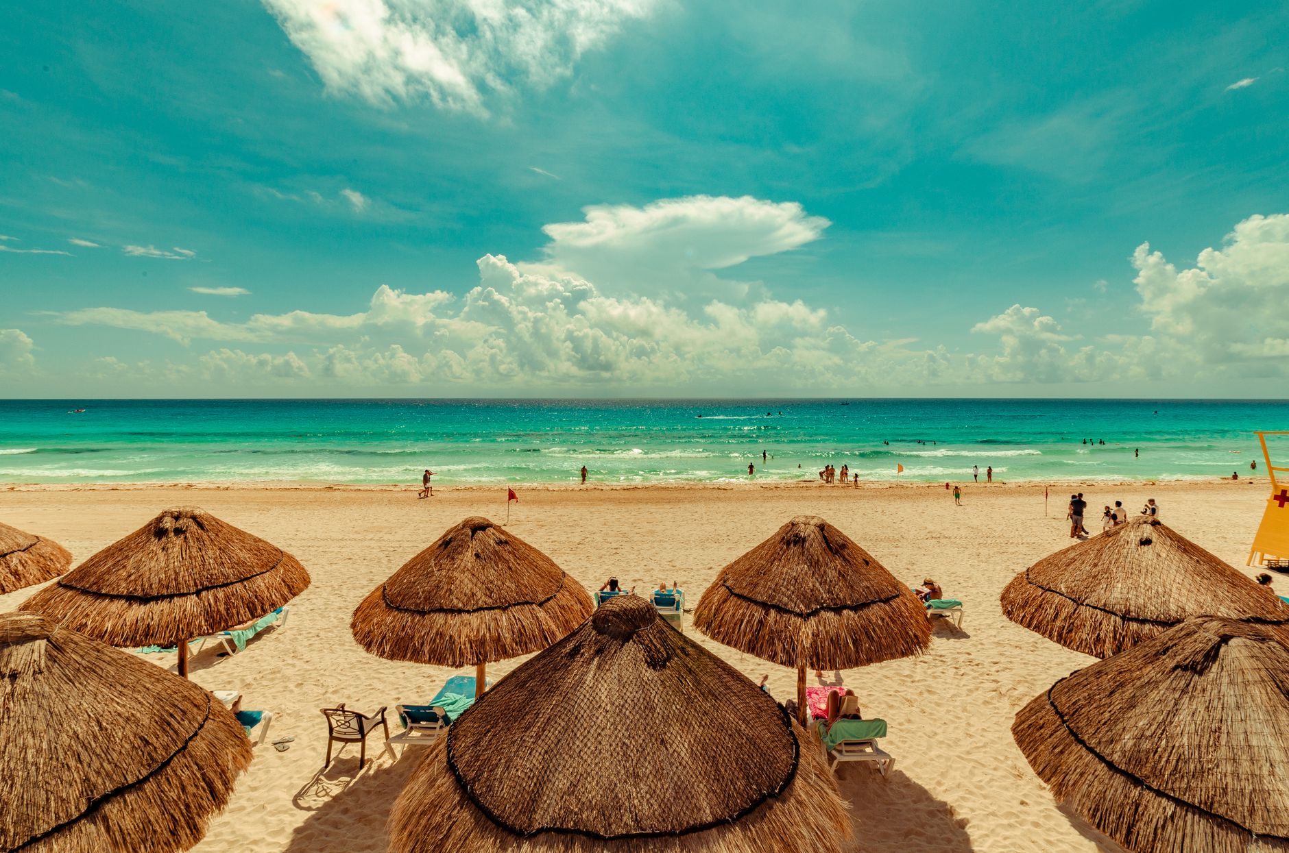
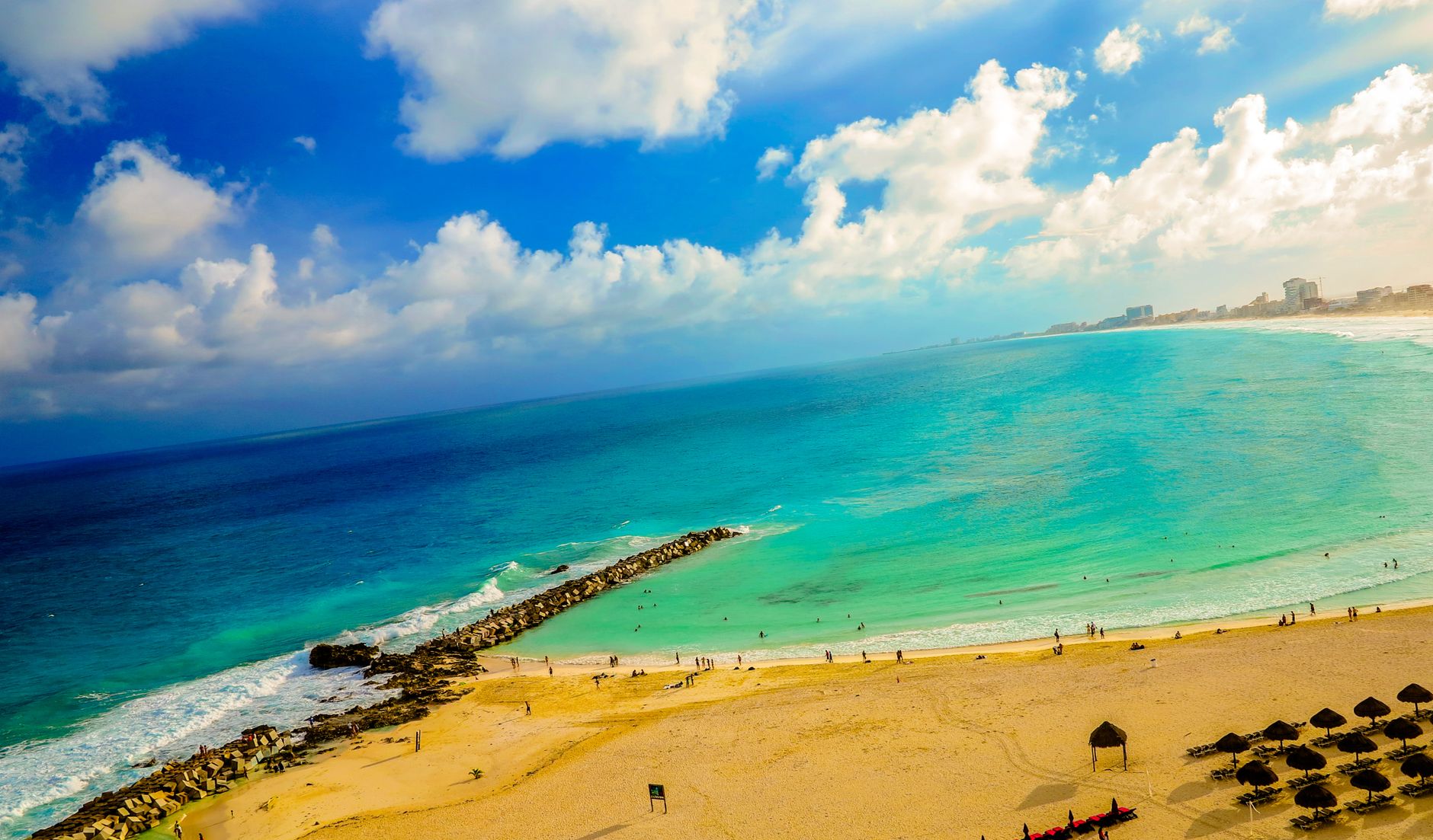
At Km 17.5 on Boulevard Kukulcán, Playa Delfines is the one beach in the Hotel Zone where you can look inland and not see a tower of rooms stacked behind you. Instead there's El Mirador, a natural rise of land that gives you a proper view over the Caribbean — turquoise shifting to deep blue in distinct bands — and below it, rows of free palapas and a small playground that feel almost municipal in the best sense.
The CANCÚN sign, installed here in 2009 in tall colorful letters referencing Mayan motifs, has become the city's most photographed landmark. It draws a crowd, but the 500-metre stretch of white sand absorbs people easily, especially on a Tuesday morning when the palapas are mostly empty and the waves — consistently strong, running one to two metres — have the water mostly to themselves.
💛 What travellers fall for
People who return tend to arrive before nine. The palapas go fast on weekends but sit unclaimed mid-week. If you're here in August, ask locally about the evening turtle releases near the shoreline — baby sea turtles, guided to the water under supervision. It happens quietly, without much announcement.
Deals in Playa Delfines
Book directly at the provider

How Playa Delfines came to be
Playa Delfines sits on coastline the ancient Maya considered spiritually significant, though the specifics of that relationship are not well-documented. What's clearer is the recent past: in 1997, David 'Jamaican' Hernandez founded AMS Cancún here, one of the area's first surf schools, recognizing that Delfines' open-ocean exposure and consistent swell made it the most surfable stretch in the zone.
The large CANCÚN sign was installed in 2009 by the Quintana Roo state government as a tourism initiative — colorful letters designed to reference Mayan culture and the Mexican Caribbean. It worked. The sign became the single most recognized symbol of the city, and the mirador behind it the default viewpoint for anyone wanting to see the full sweep of the coast.
Who and what shaped it
People who shaped it
Landmark buildings
See Playa Delfines in motion
Plan your visit
On the map
When to go
November through April is the easiest window — temperatures between 22°C and 30°C, minimal rain, and low sargassum. May through October brings heat above 32°C, afternoon showers, and peak sargassum (especially July and August); hurricane season also means waves can spike dramatically, which surfers note and swimmers should.
Right now
Background & history adapted from Wikipedia (CC BY-SA) · specs from Wikidata (CC0) · weather from Open-Meteo · map data © OpenStreetMap contributors · photos from Wikimedia Commons / Unsplash with per-image credit. No third-party reviews or social posts reproduced.